


The Polnoon Burn
The Polnoon Burn is one of the largest tributaries of the mighty Shotover River, located entirely on the Branches Station pastoral lease. The Polnoon’s technical section is moderate creeking, with several portageable IV features, and lots of low-volume grade III.
With several approach options, it can be done as a weekend loop in its own right, or with three days and car shuttles, as an alternative start to the classic Shotover below Branches Station.
Thanks to Jenny Cossey for the original write-up & pics, Alan Swann for pics & vids, plus Louis Tapper, Mary Day, and Dean Houliston for feedback. Thanks to Erik Bradshaw for double-checking the walking access information.

Classic trip options
Weekender round-trip: from Branches Station car park
- Polnoon track to Cabin Creek or upper Polnoon Burn 5-7hrs
- Polnoon Burn paddle (IV or III & P),, Neck portage, Shotover braids to Branches Carpark (I) 5-8hrs
Three days lollypop route: Branches to Polnoon Burn, Shotover to Arthurs Point
- Polnoon track to Cabin Creek or upper Polnoon Burn 5-7hrs
- Polnoon Burn paddle (IV or III & P), Neck portage, Shotover through to Mcleods (II) 5-8hrs
- Shotover from McLeods to Arthurs Point (IV or III & P) 6-8hrs
Three days through -trip: Alpine traverse to Arthurs point
- Treble Cone Ski Field to Cabin Creek or upper Polnoon Burn 7-9hrs
- Polnoon Burn paddle (IV or III & P), Neck portage, Shotover through to Mcleods (II) 5-8hrs
- Shotover from McLeods to Arthurs Point (IV or III & P) 6-8hrs
View Larger Topographic Map
Planning & permission
All routes: Branches Station
All of these route options require access permission to be granted from Branches Station. Ensure you are clear about where you intend to go: there are lots of options and some may or may not be possible depending on farming operations at that time of year.
It’s worth taking a look at the Herenga ā Nuku / Walking Access Commission maps for the area to see where the public access is before you begin. Although you’ll see some public lands, easements from Polnoon Saddle to Cabin Creek, and marginal strips (aka – “Queens Chain”) up the Polnoon Burn, the practical walking routes don’t completely match the location of these legal access corridors. So you need to call and ask for permission.
Cabin Creek Hut and Polnoon Hut are Station huts, and not generally available for public use. Ensure you specifically ask for permission to camp nearby, or elsewhere along the approach route. Please read the relevant section on the Shotover River, to Arthurs Point trip page for advice on high country respect & manager contact details.
The branches road
If you’re planning on a trip using the branches road, be aware that it is an adventure in itself! Long, narrow, with steep drop offs and inadvisable in the wet, rental cars aren’t insured here (and maybe not your car either). A car with reasonable clearance and 4WD is reccomended. Read the relevant section of the Shotover River post for more info.
Shotover Jetboats
Anyone continuing down the Shotover to Arthurs Point needs to be aware there are jetboats on the river. Read the relevant section of the Shotover River post for more info.
The Alpine traverse: Treble Cone access
The Alpine traverse approach begins from Treble Cone Ski field. Public access in summer is subject to a health and safety process. Thankfully, it is a straightforward process:
- Create a free account online with Zero Harm
- Complete an induction explaining the hazards
- Before leaving town at the start of your trip, log into the ‘worksite’ and recieve the code to the locked gate, which allows you to drive up to the skifield base carpark.
Please follow the instructions and process to ensure public access is not impacted. Also be aware, access may be closed at short notice for new hazards, especially damage to the access road. Scheduled works are usually (but not always) notified in advance.
The Alpine traverse: Polnoon Saddle Turk
The Polnoon Saddle Turk is a club hut, located about 6-7hrs from Treble Cone carpark. It must be booked in advance, and there are rules regarding who can book it out. If you can get a booking, it is a magnificently situated hut, with fantastic views of the area. Find out more, well in advance at the Mountain Turk Club.
Approaches on foot
Alpine traverse: Treble Cone to Cabin Creek Hut
Sign in to Zero harm before you leave town. From the ski field base building car park, walk up the zig-zag dirt road up the mountain to the top of the “Home Basin” chairlift. From here, it is an unmarked route until you reach the Polnoon Saddle Turk.
Traverse southwest through the Motatapu Conservation area, along the ridge (known as ‘Towers Ridge’ locally).
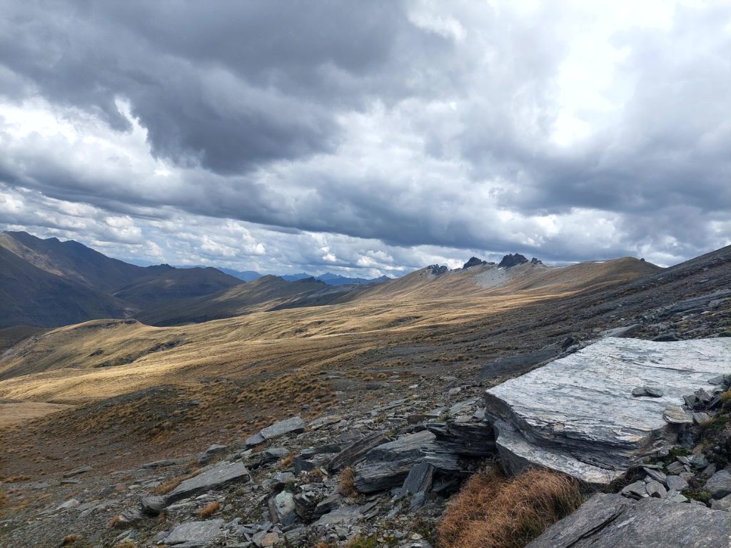
Pick the right altitude for your sidle, otherwise you’ll be in the bluffs and gullies. There’s more info on the first part of this route on the Mountain Turk Club website.
Its about 6hrs to Polnoon Saddle Turk.
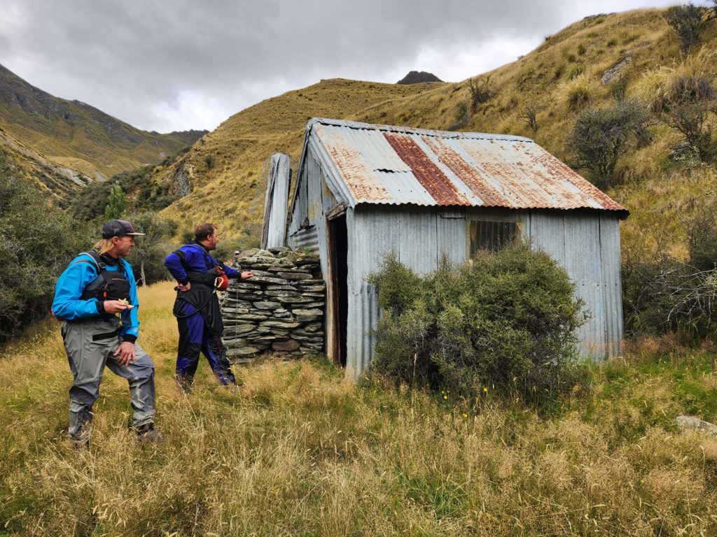
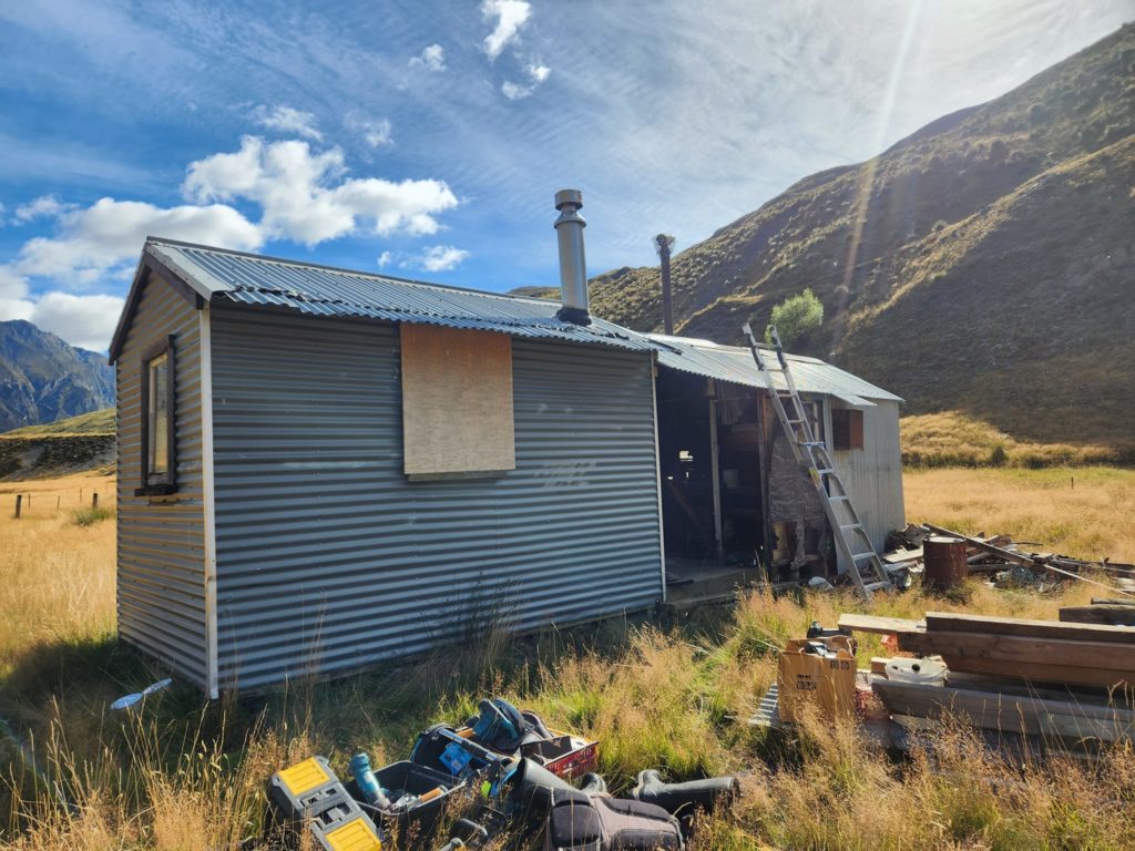
From the Turk, pick up a polled route, which descends on an easement (legal walking access route) for 1.5hrs to Cabin Creek Hut . The hut is on Coronet Station, part of the Mahu Whenua open space covenent. As of May 2023, the hut in very poor condition and not really appealling for an overnight stay.
Anyone who has the skills and motivation to give it a spruce up, should contact Erik Bradshaw via the Mountain Turk Club. Erik has the landowner contacts and access to helicopter time to help with a project like this.
The easement continues from Cabin Creek Hut, all the way to the Branches road. More info on the MahuWhenua website.
Branches carpark to Cabin Creek Hut
A polled route, taking about 5.5hrs. More info on the MahuWhenua website.
Erik Bradshaw, who knows the area very well through his work with the Mountain Turk Club and Mahuwhenua Traverse had this to say about this route:
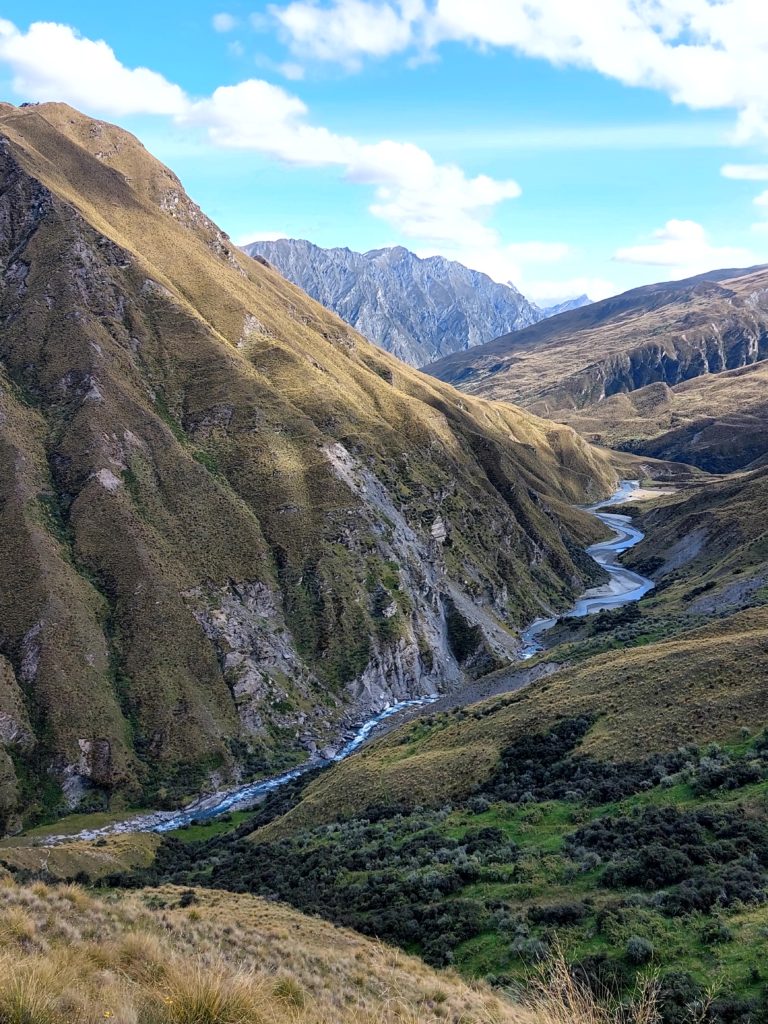
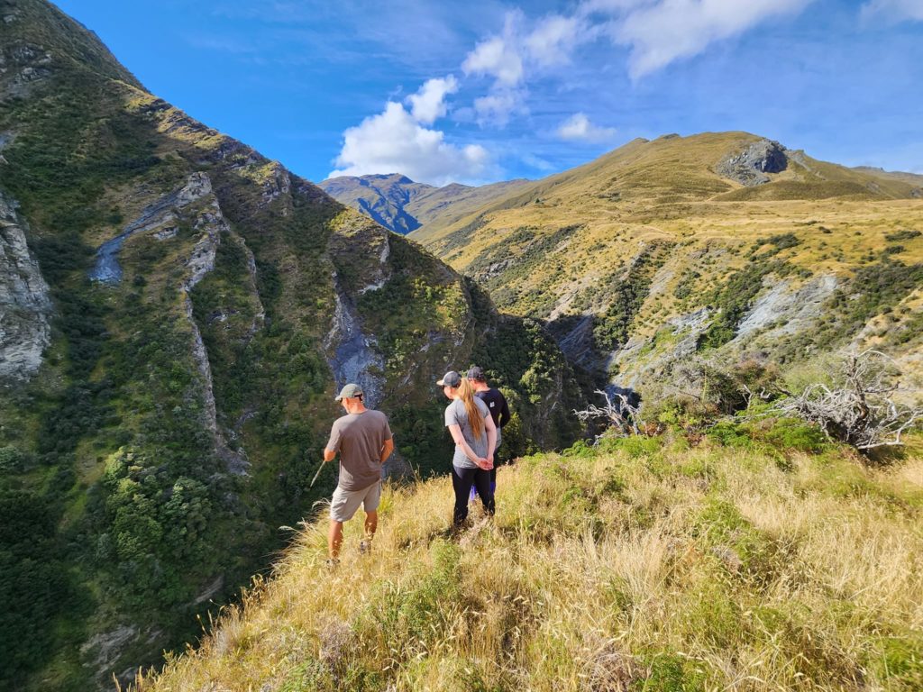
When walking into Cabin Creek from the Shotover leave your car at Stock Yard Creek, walk up to the terrace at the 600m contour, then head north. Stay to the east of the fence line, and in the depression east of points 796, 870, 905. The travel is quite easy with the odd patch of matagori.
Once you get to the terrace overlooking the Polnoon, northeast of the small lake shown on the topo map there is a choice. Either sidle high on the true right bank (there is a cut/marked track) or drop down to the river and make multiple crossing as you walk upstream. Either way you will develop an intimate and abusive relationship with matagouri so keep your packraft well protected.
If you come from this side, please follow the route description/line on the map carefully, and ensure you are on this exact route: There are other roads/tracks/routes in the area which are not to be used without specific permission. And permission will not be granted to travel through the amphitheatre (a main farming operational area)
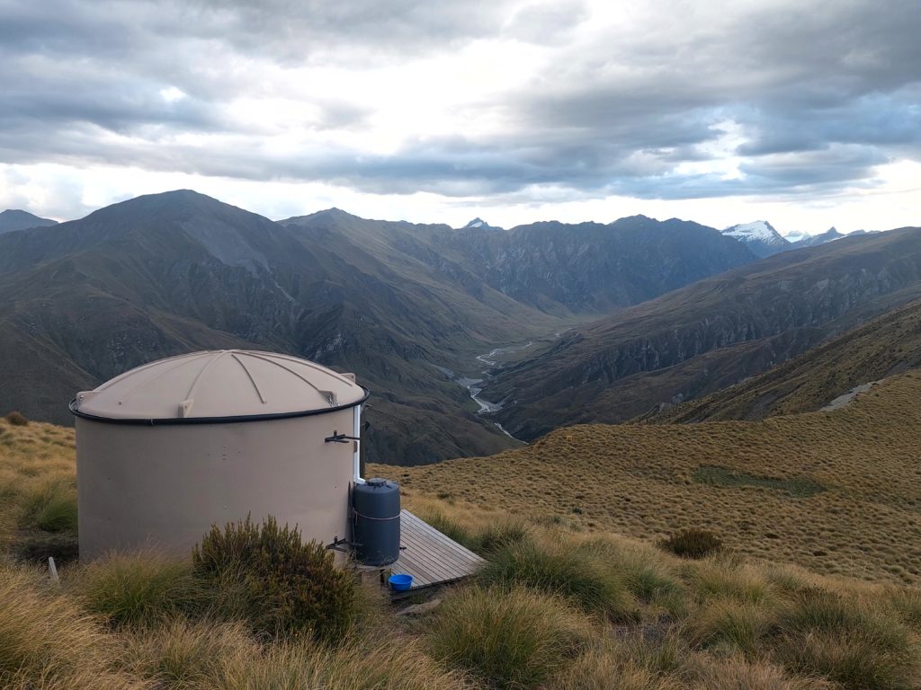
Cabin Creek Hut to upper Polnoon Burn
From Cabin Creek, follow the true left on stock tracks, with detours around slips and scrub. Take the opportunity to note the location of the obvious Triangle Rock rapid (IV) as you walk in.
An hour from the hut, Blue Creek is reached. This is the put on for the start of the technical water.
Depending on motivation and time, you can continue up the Polnoon Burn as far as you like to add some gentle floating as a warm-up to the technical section. It’s best to cross to the true right at Blue Creek to continue up valley. Polnoon Hut is another private station hut, but permission to camp in the area may be granted by station managers if you request it.
On the water
Most of the rapids can be portaged if you are paying attention and pull out early enough. But there’s enough harder stuff that you’d be missing a fair bit of the run if you plan to portage all those rapids.
The rock in this area is variable quality: so you can expect that flood events/earthquakes/slips will change the character of the river, making things harder (or easier) than described here… This info was correct as of the summer of 2022/23.
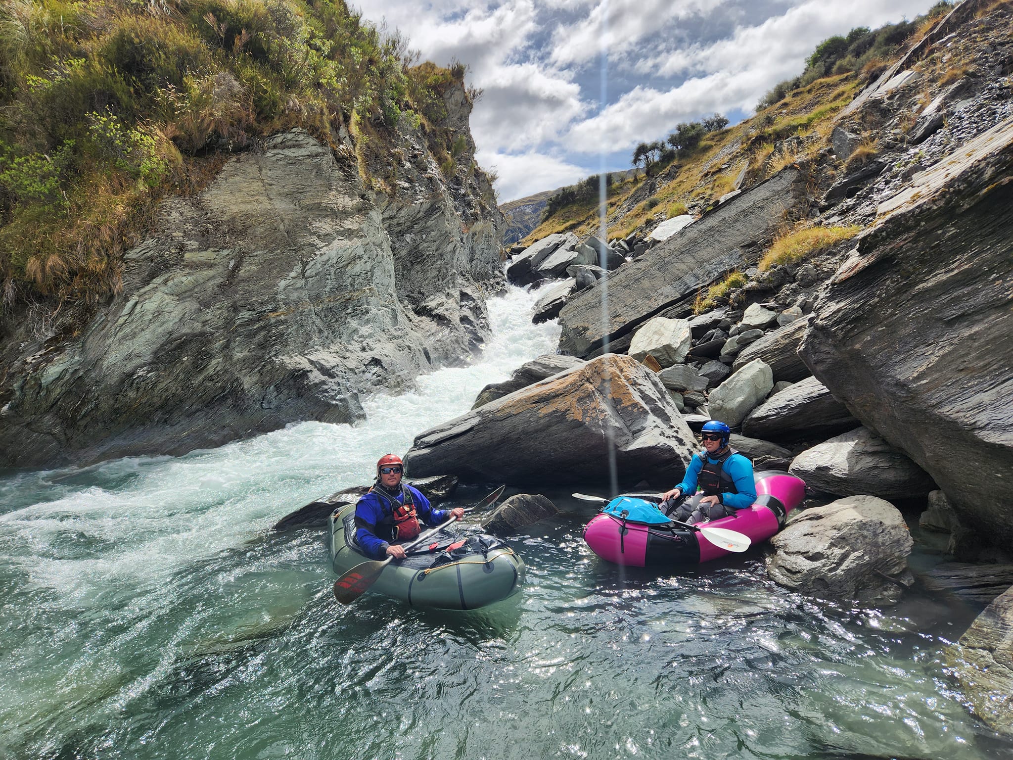
Polnoon Hut to Cabin Creek (I to IV, with portages available) 1-2hrs
The Polnoon Burn upstream of Blue Creek is scenic grade I floating along wide river flats.
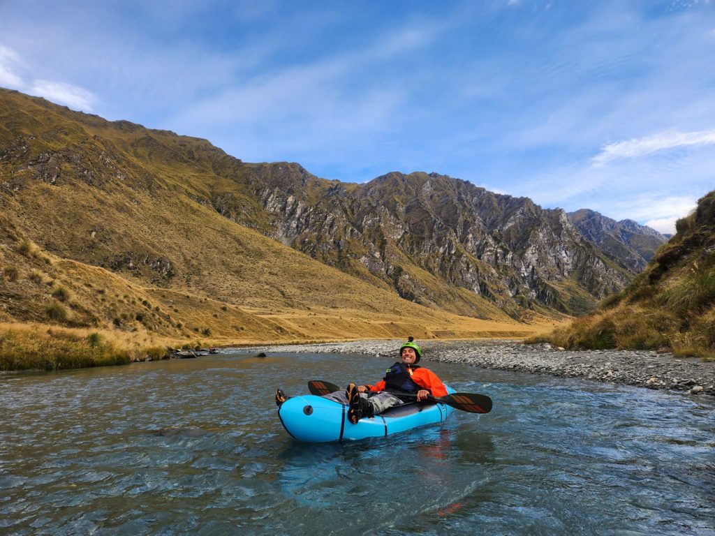
The burn then narrows below Blue Creek with grade I/II rock gardens. (Video/Alan Swann)
At about the 750m contour, a very large triangle-shaped rock on the spur line at the bend clearly indicates the start of the Triangle Rock rapid (IV). Easy portage on true left for 100m.
Then there’s some grade III water through to Cabin Creek Hut. (Video / Alan Swann)
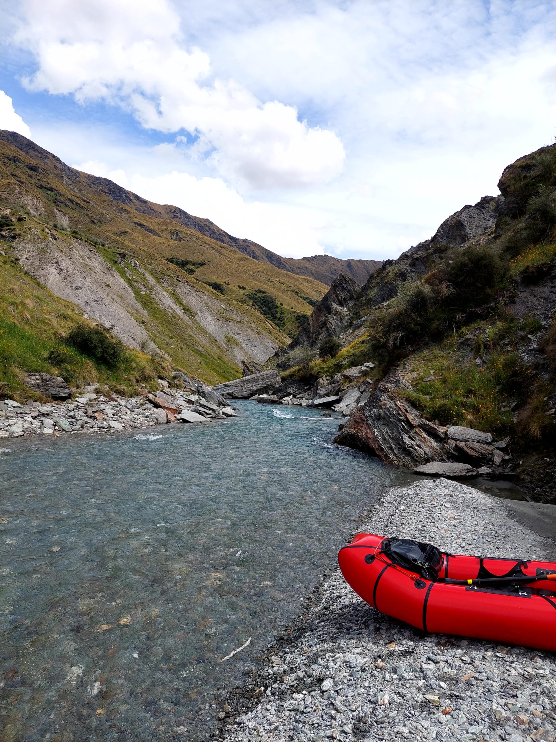
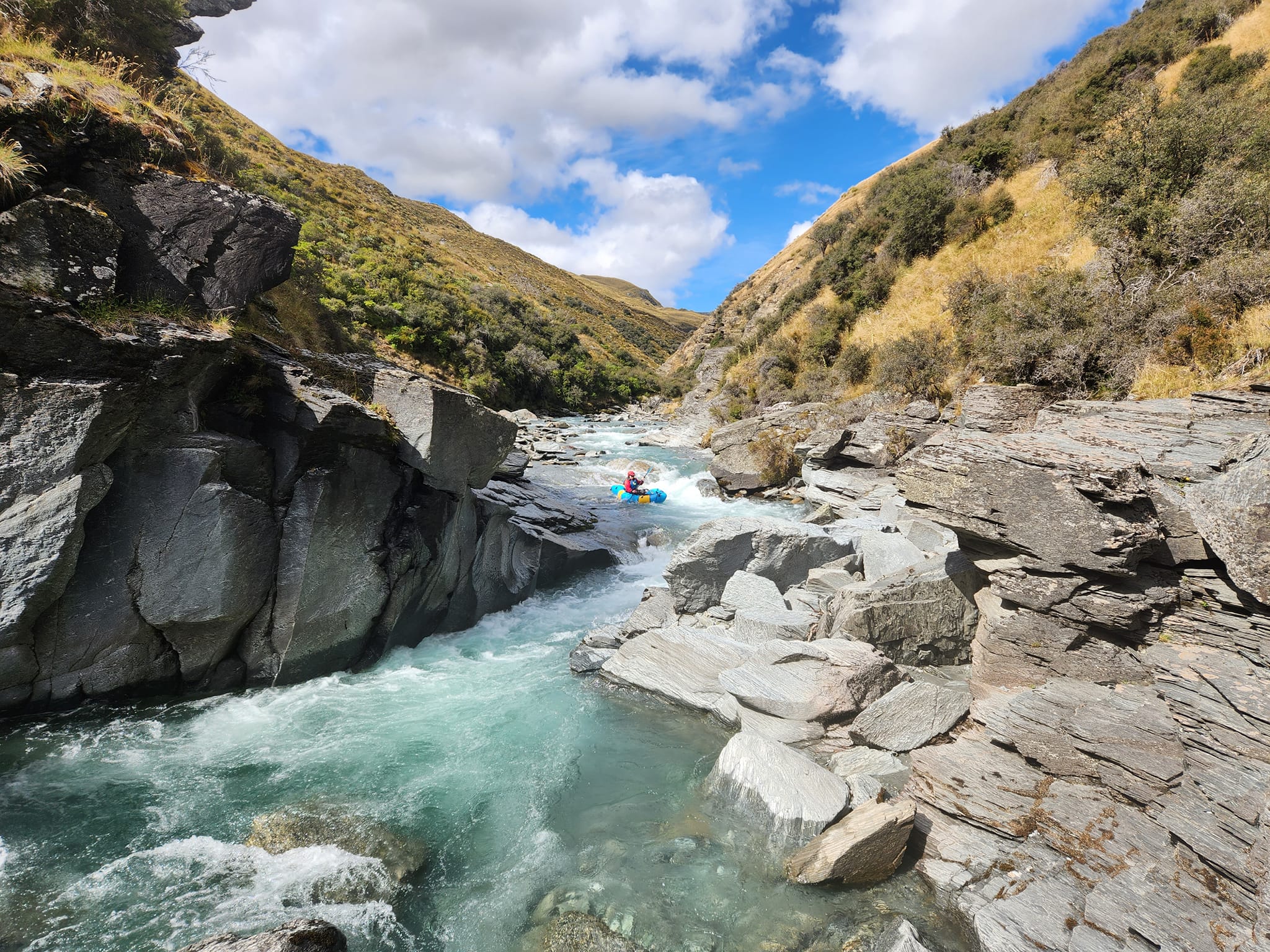
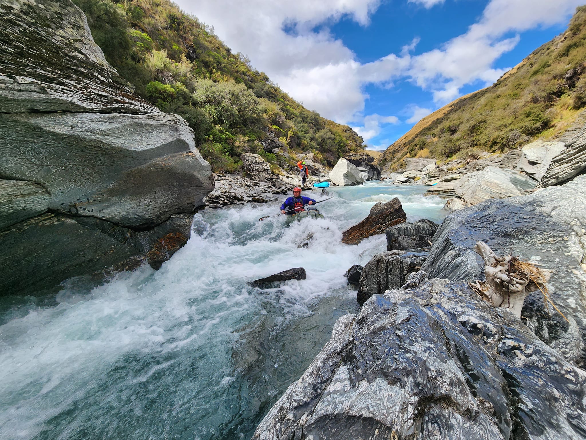
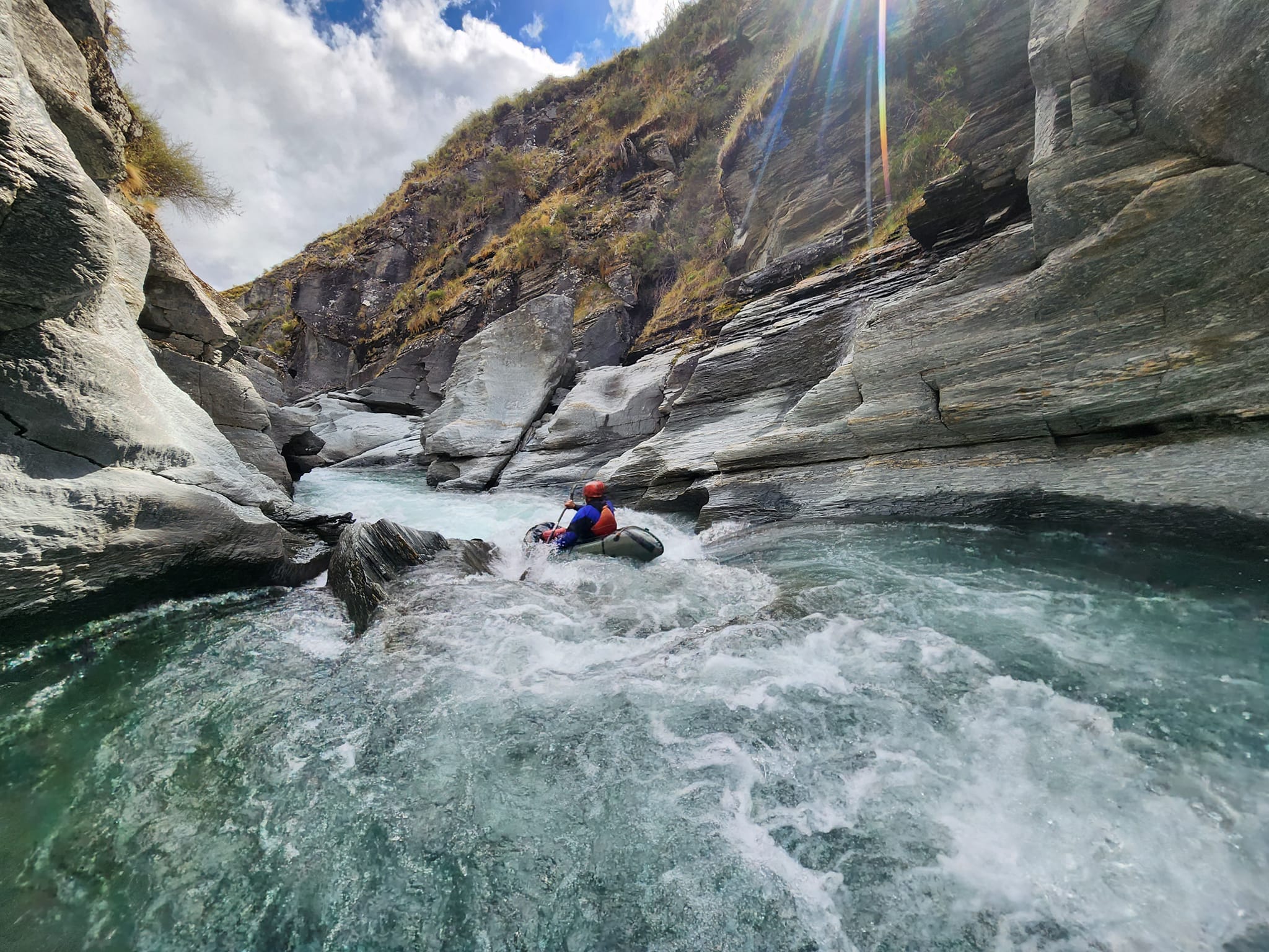
Cabin Creek to The Neck diversion tunnel (IV with portages available) 2-3hrs
A varied and challenging bit of water, with sections of easy paddling, a handful of nice grade III rapids plus some tight and continous low-volume grade IV creeking.
There’s no trees to fall in the river, but with grade IV gradient, plenty of large boulders equal plenty of potential for sieves. Take your pulleys, prussics, slings and seive extraction know-how.
Around the 700m contour, a slip on the true right blocks the river, with a nasty seive. Easily portaged on the right if you’re paying attention. (Vid / Alan Swann)
Immediately below the seive is some grade IV action: (vid / Alan Swann)
There’s some good grade III creeking next;
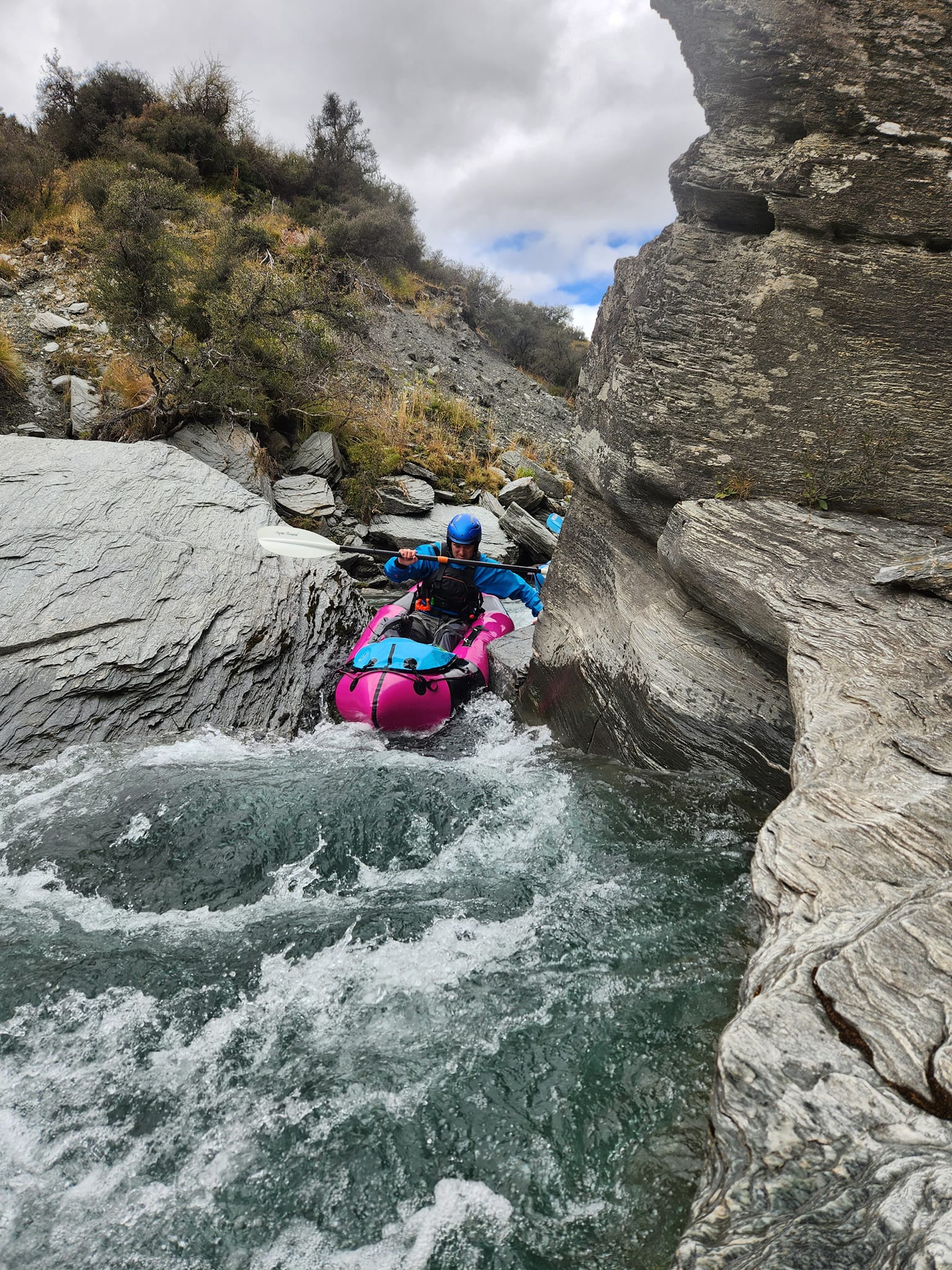
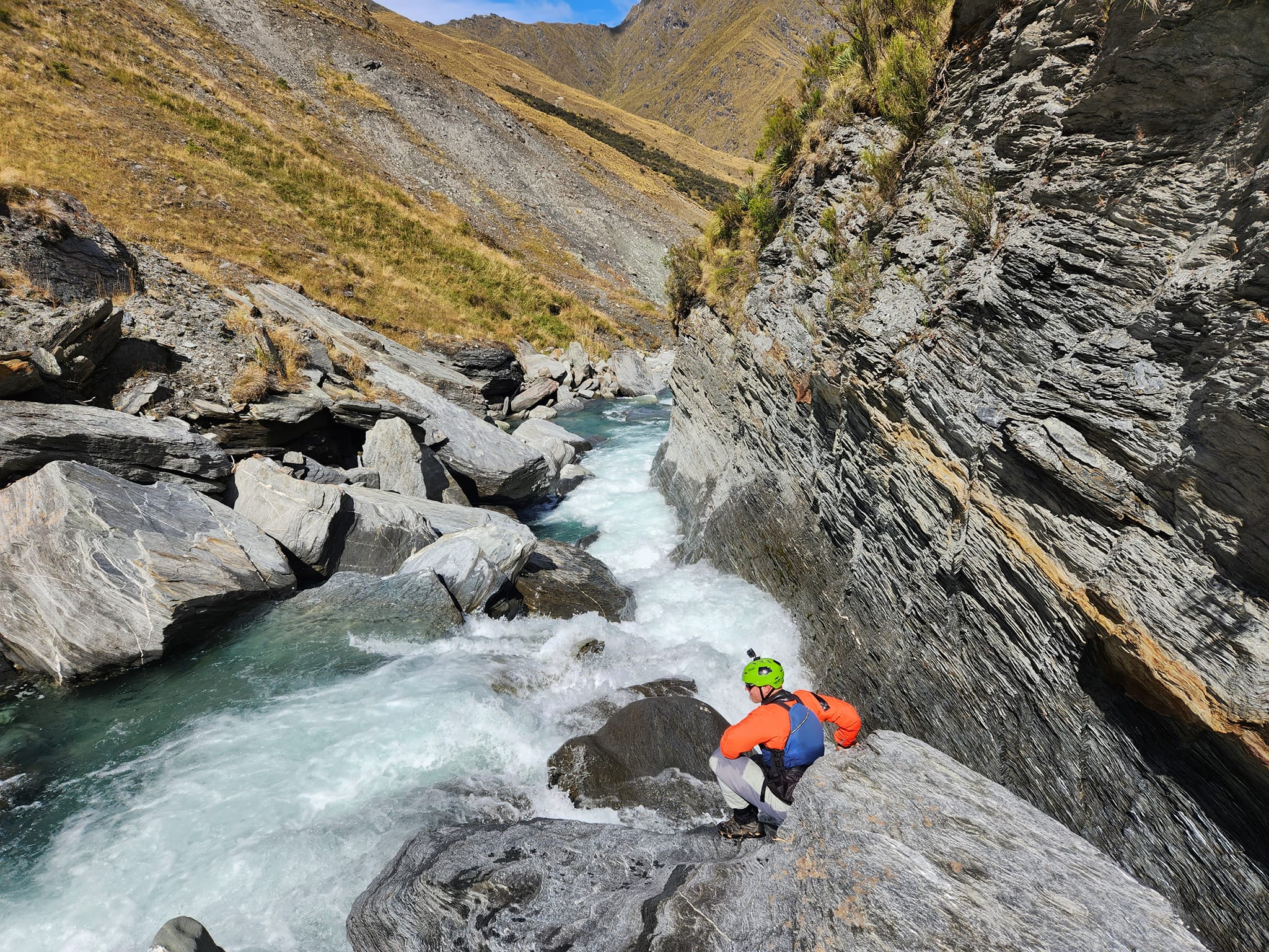
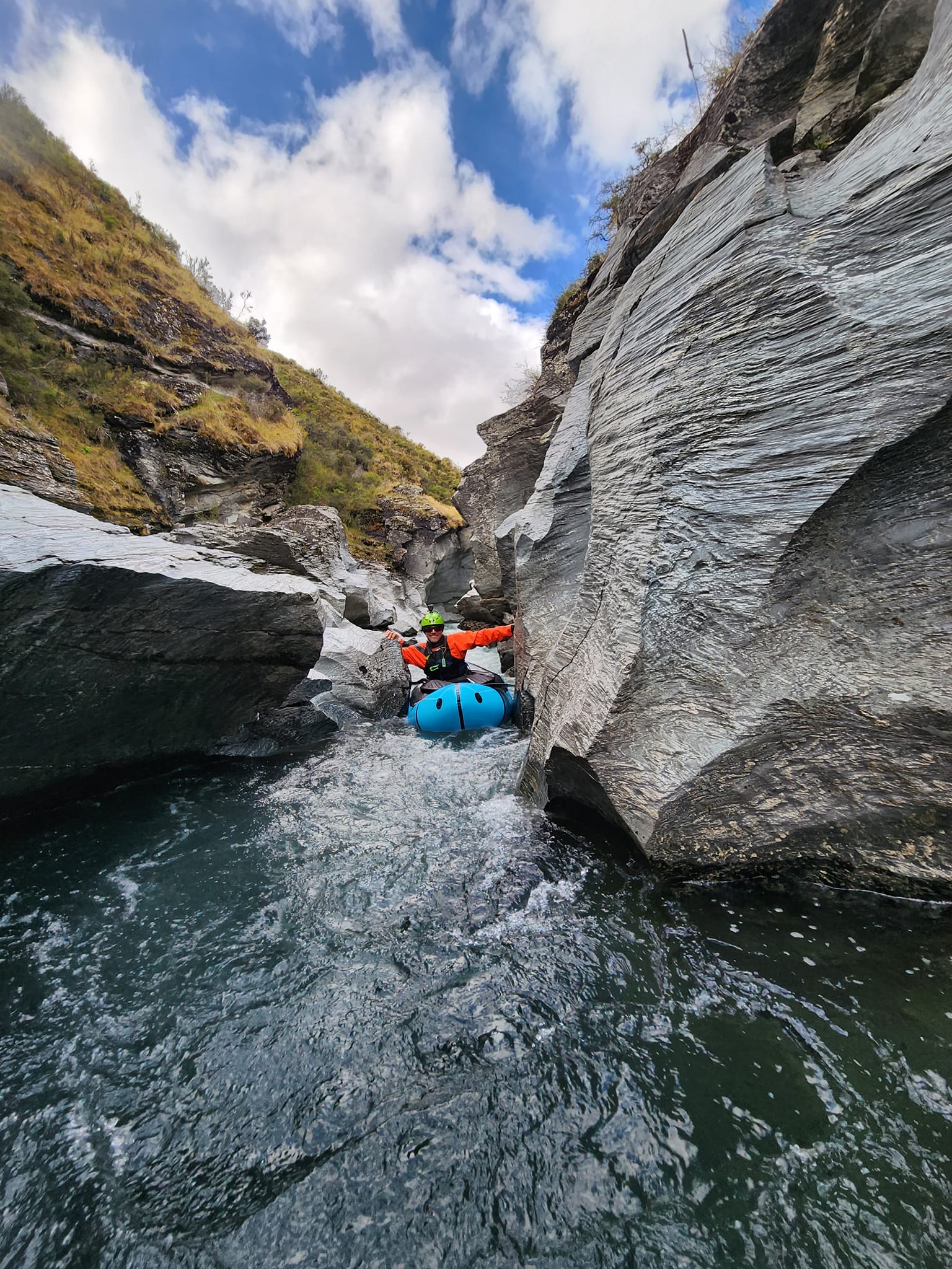
About 1.5km upstream of the diversion, the river abruptly enters a slot-canyon at a blind river bend. Worth taking a look before you enter, otherwise you’ll be in for a surprise. The canyon can be portaged easily if you prefer.
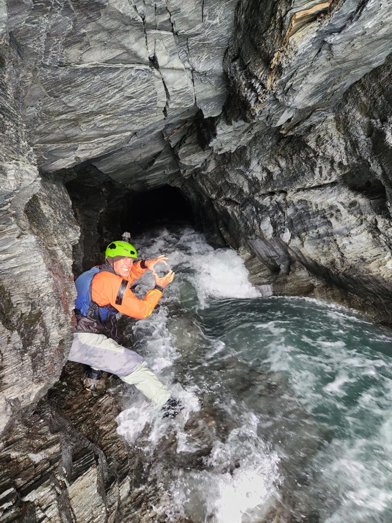
There is a bit more more gorge action for a while, and then as the Diversion tunnel appears, the run is basically finished. Try to avoid a Darwin award for getting sucked down the tunnel!
Remember, specific permission from Branches Station is required for this next walking section of the route!
Instead, pack down your boats and hike up to the neck, and peer down at the impressive outflow waterfall as the diversion tumbles nearly 100m into the Sheil Burn below.
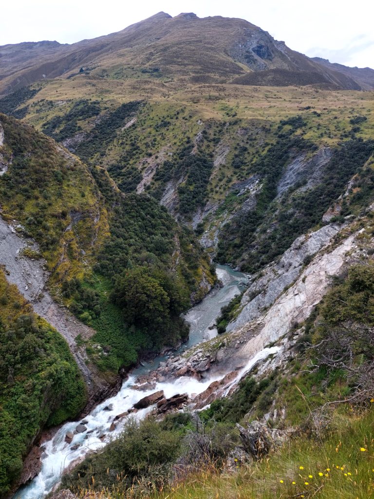
Continue down the true left shoulder of the Sheil Burn to the Shotover. There’s about 7km of braids down to the Branches carpark. If you’re continuing beyond here, make sure to read the Shotover River to Arthurs point page.
Gauge
There ain’t one….
Trends on the Shotover gauges can give you a bit of an idea of flows in the area. There’s only been a couple of descents of this river at the time of writing, in January and March 2023.
For packrafters, a medium flow is probably about right; avoid high water (spring melt or soon after rain) and if it has been dry for weeks it might be too low. Let us know how it goes for you!