Hurunui River overview
The Hurunui is the most important River in Canterbury for paddlers. It has navigable flows all year round and offers a good variety of whitewater runs.
From Lake Sumner down, there are a variety of runs, catering for all types of paddlers.
Upper Hurunui (described as one run)
- Lake to Sisters (I/II) Hike into the Lake, and paddle to Sisters River (I/II)
- Sisters Gorge (II) from Sisters River to Jollie Brook
- Jollie Brook (II) from Jollie Brook to Seaward River
Middle Hurunui
- Maori Gully (III) from Seaward River to (almost) the Surveys stream
- Hawarden Gap (II+) from Surveyors Stream to Mandamus River
Lower Hurunui
Lower Hurunui: Mandamus river to SH7 bridge (I)
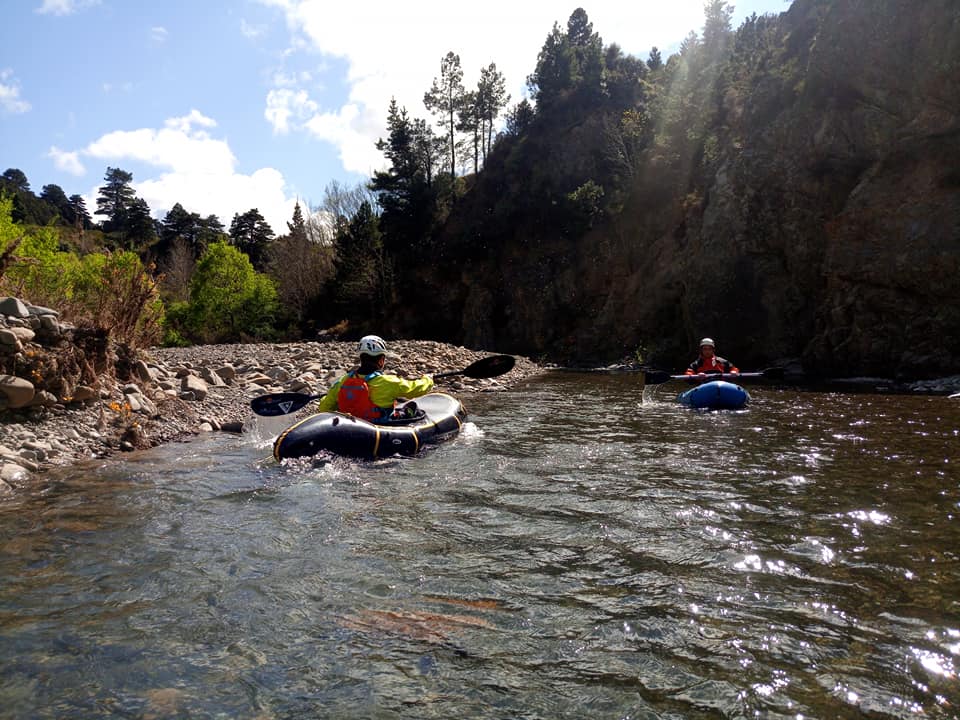
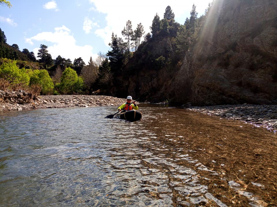
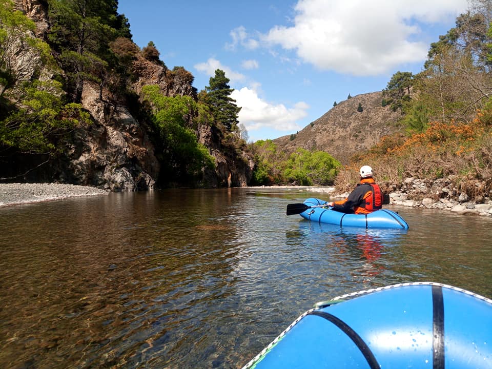
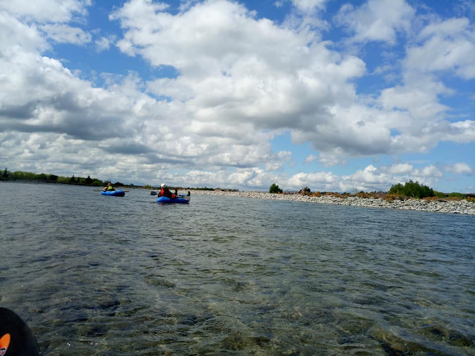
A cruisey day trip down a braided Canterbury river.
Thanks to Matt Burke for the words, Sam Newton and Zak Hind as the talent in the photos…
Car shuttle
Its about a 20-30 minute trip each way on mostly gravel roads.
The run
This 30km stretch of the Hurunui is all Class I but, but still requires respect given the amount of Willows/strainers. Watch out for Canterbury’s famous winds, which would make this section pretty unpleasant..
Put in where the Tekoa road crosses Mandamus river about 500m above confluence with the Hurunui.
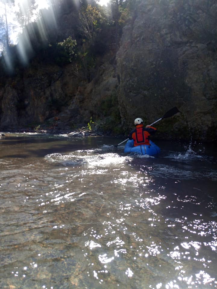
The run begins with a very short gorge, which is very straight forward in normal flows.
As you reach the Hurunui, the river opens up into braids which are generally easy to follow. One tricky bend in the river of 90 degrees could pose a problem as there is a fallen tree on the bank. This is approximately 10km down from the put in.
There’s a few eddys to practice in.
Get out just before SH7 road bridge on true left by Balmoral campground.
Gauge
