


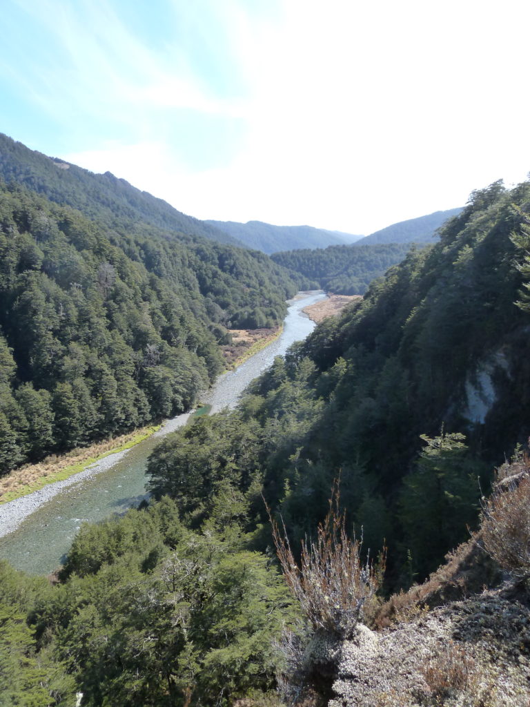
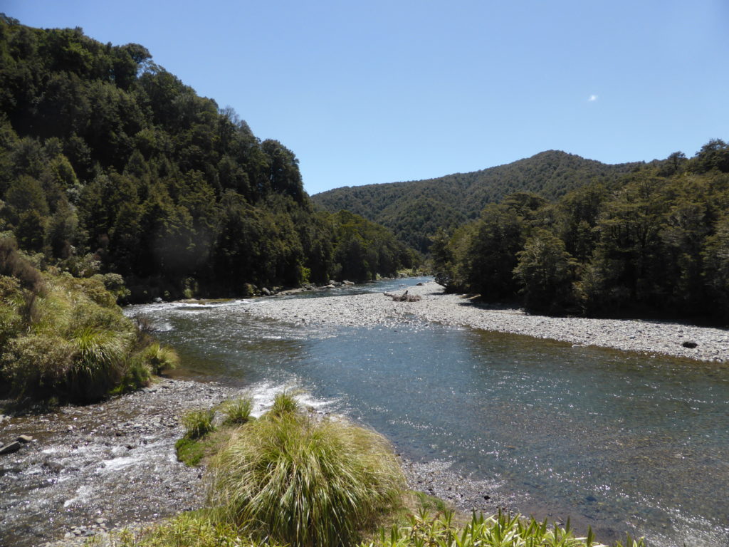
The Waipakihi River drains the Kaimanawa Ranges on the eastern side of the desert road. Where it leaves the mountains it becomes the Tongariro River. It is a picturesque river valley through beech forest. It has insufficient flow through the warmer months and can only be run after rainfall.
View Larger Topographic Map
Private land
Like much of the central north island, there are large swathes of private land in and around this trip. Before heading out, it is critical to study the Herenga ā Nuku / Walking Access maps to see where the public land is.
For example, the Waipakahi road end is private land, as is about half of the true left bank of the river. Do your homework, and keep to public land when walking, camping, scouting or portaging.
Shuttle
There are two ways to into the Waipakihi valley. The most popular route is over the Urchin track. To get to the track take Kaimanawa Road (which is a private road) off SH1. After crossing the Tongariro River Bridge turn right onto the gravel road towards the Pillars of Hercules and then left to the Urchin track. From here the land is public. The road is rough but passable in non 4wds.
The alternative access is walk-in float-back from Waipakihi road-end. The last 200m of Waipakahi road descends to the river and is now four-wheel drive only. This access is accross private land: packrafters should enquire about the current status of access before using this option.
Walking up the River
The walk-up float back
Remember, the road end and much of the true left is private land. Do your homework on the Herenga ā Nuku / Walking Access maps to see where the public land is.
The Urchin Track
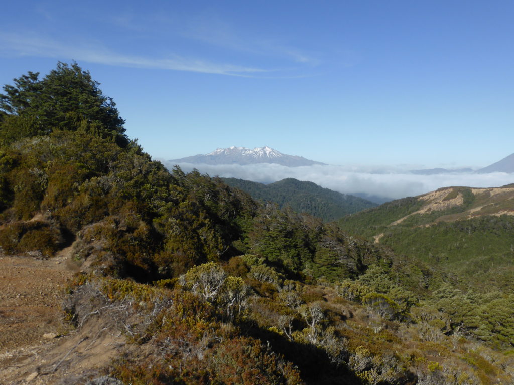
The Urchin track option follows a well marked and benched track with spectacular Tongariro/Ruapehu views. It takes less than three hours to reach the Waipakihi river. The last hour involves a steep descent. This track reaches the river at a convenient point to put-in. There are great camping spots on the river flats. It would be possible to do the trip as a big day trip with an early start but it’s well worth camping and getting whistled at by a Sika deer.
Both
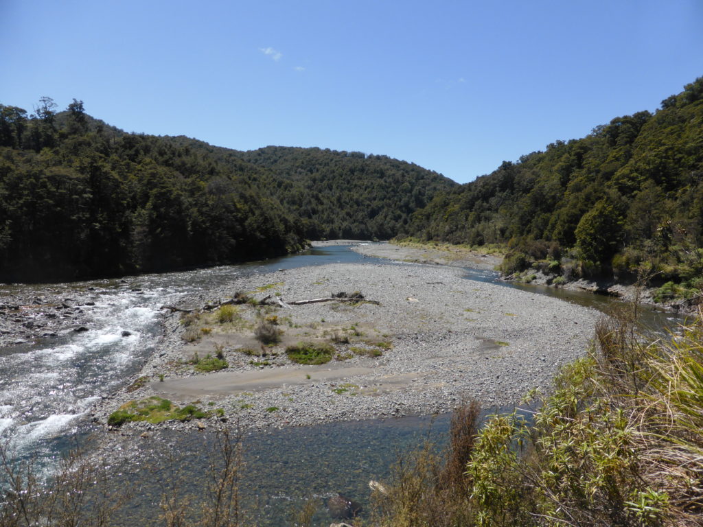
The Waipakahi River
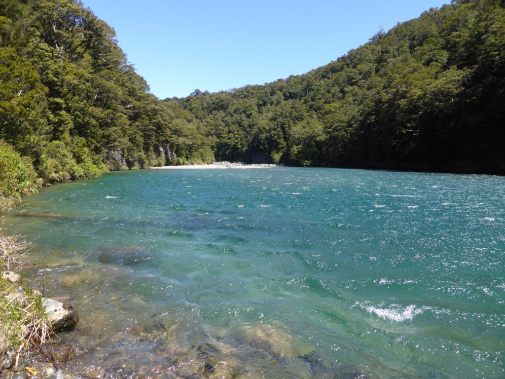
It is a straightforward Class II paddle with nothing particular that is overly challenging. The river is braided into several channels on the wider river flats and there are occasional logs to watch out for. About an hour downstream of the Urchin track, there is a small gorge but there are no difficult rapids. After this short
Camping is possible on spectacular river flats on
Tongariro River, Waipakahi Rd to Rangipo (III)
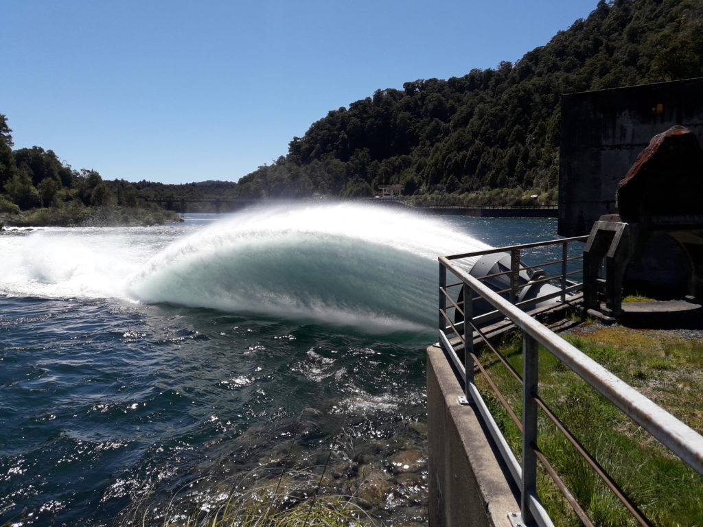
It is possible to continue below the Waipakahi Road for 3km to the Rangipo Dam on Rangipo Intake Road. The river swings around to the north and has a quite different character with bouldery technical rapids. It contains more continuous rapids, with at least four being class III. It is not run often and will require careful scouting for logs and hazards. There is a named rapid (Shithouse) just above the gauge that is III+. Allow plenty of time for scouting and portages (say 2 hours). The river below the dam and around the tunnel portals is very hazardous. Get out on river right before the conspicuous water feature where the diversion tunnels dump into the dam.
Gauge
The river requires rainfall to be a viable paddle. Above 5 cumecs is probably viable, if boney, and 10 cumecs is a reasonable flow.
Beautiful solo trip, 2 hour hike in over urchin. I can’t imagine running it at 10cumecs as I still had plenty of scrapes and had to portage a few mid shin/ankle-deep riffle sections just below the urchin trail put in. Took out at rangipo dam, portaged the 3+. Keen to get out for more if anyone reading here also is!
Reasonable flow at 10.5 cumec with just a couple of bum shuffles needed to get over some of the shallower bits. Portaged one log jam. Heaps of Whio, very scenic, easy grade 2. Some great swimming spots but we didn’t take advantage of them as it was rather fresh with snow on the surrounding hills!
Walked in via Urchin track, under 2.5hrs. Amazing views but have your jacket easily accessible as can be very cold on the tops.
Walked in via Umukarikari taking around 5hrs. Great campsite at base of descent. Lots of hunters around given it was a long weekend.
River was low at around 6cumecs and I got out to push through low section 20+ times. Two logs jams remain. I probably wouldn’t go down again unless there was a lot more water
An awesome trip, during Tongariro Turbo 2024. Spectacular clear water and swimming holes, endless blue skies, tons of great big campsites (river right). Flow of around 13cumecs was perfect for a relaxed Gr2 trip. Would be a tad scratchy at lower flows. We carried on to Rangipo Dam (a few gr3’s), then got shuttle round to the Pillars of Herc run (not enough flow below the dam to paddle). Thanks for the writeup.
Great trip for novices with easy paddling. Portaged a few sections that had log jams and fallen trees but these can all be seen clearly in advance on approach with ample time to avoid. No surprises. Gorge section is smooth water and very scenic. Excellent camping spots at the base of descent from Urchin track. Hike time 3-3.5 hrs. Paddle time 4-5 hrs to takeout at Waipakahi Rd end.
Waipakihi today 4 nov in 9 cumec. Rained yesterday .River in good condition . Only needed to portage for logs twice . At this flow there is enough water to stay in boat without walking