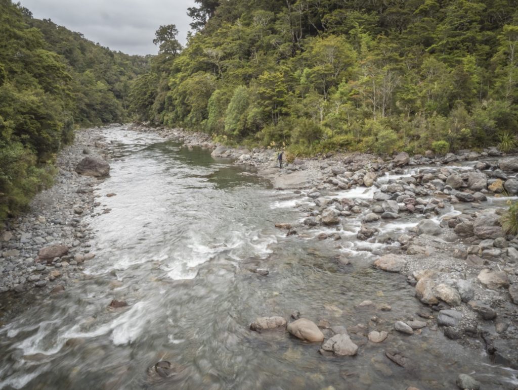
The Waingawa is one of the smallest of the runnable Eastern Tararua rivers. It takes a crystal ball to get the timing right for this run. It rises very fast and then falls just as quickly to residual flows that except in mid winter are barely paddle-able. Catch the right weather combo and it’s another great run. Kayakers typically paddle the reach below the Forest Park beside the road.
View Larger Topographic Map
The Shuttle
Drive up Waingawa Valley Road to the take out if you reach the water pipe you have gone too far. Leave a car here (the roadside may be fenced off with stakes and polytape making parking a challenge). Continue on to the end of Upper Waingawa Valley Road and walk along the marked track through private farmland. There is not enough traffic for hitching but you could drop gear at the road end drive back to the take out and ride a bike back to stash out of sight.
On Foot
From the Waingawa road-end, by the DoC notice boards, a cattle stop leads onto a farm road and 25 minutes along this brings a shearing shed and yards. Pass through a small gate to a track which drops to the low riverside terraces. After crossing Blake Stream, follow along the river-edge manuka flats and enter the bush to regain the high terrace, then cross a stile at the Park boundary.
Fifteen minutes from this stile, the first of several minor streams is crossed and the track, though notoriously up and down, keeps more or less to this height. Several streams later, the track enters a small level ‘valley’ (probably an earth-fault rent), which is about 15 minutes from Mitre Flats. The track soon descends steeply towards the river. Across the bridge and slightly upstream is Mitre Flats Hut. It will probably be raining and you’ll be spending some time at the hut weather and river watching to catch the river on the drop.
On the River
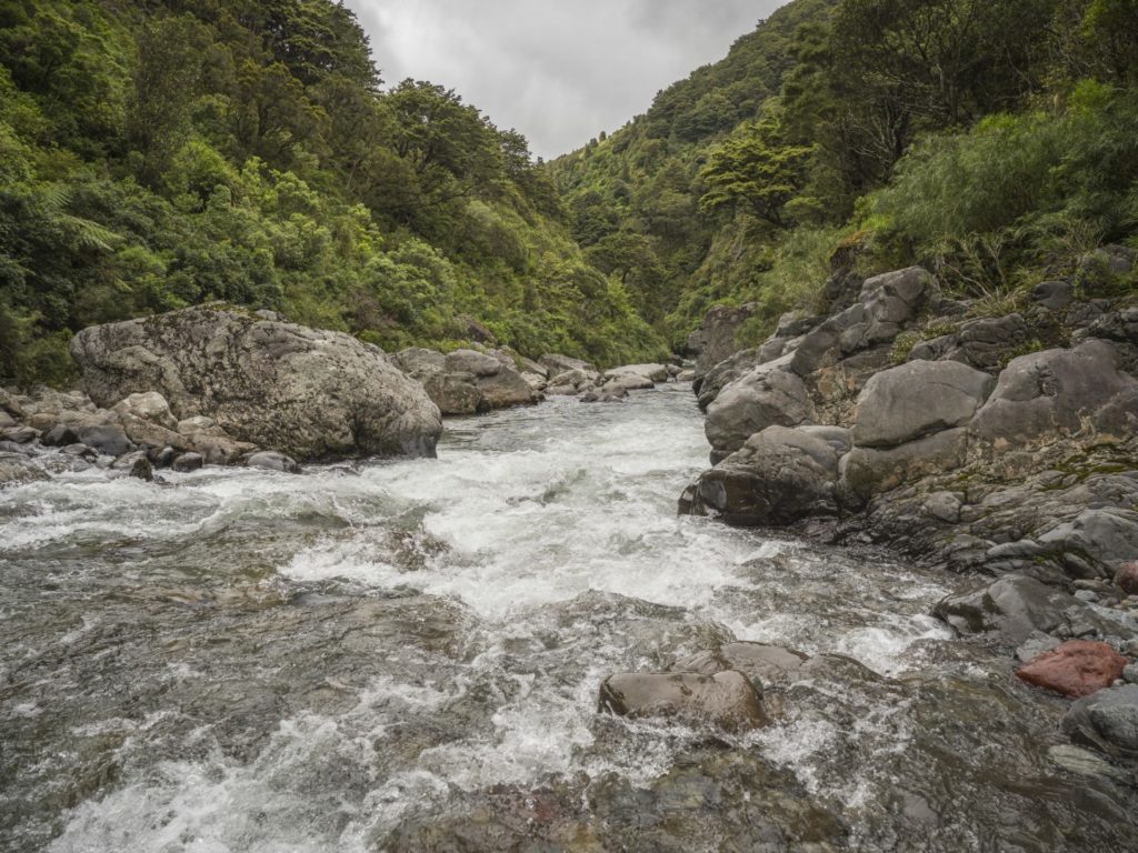
From Mitre Flats Hut you can walk up stream as far as the river looks viable before inflating your boat and hitting the water. The river is boulder gardens with some quite sizable boulders that in higher flows will create some decent features. Below Mitre Flats there are also bedrock features and chutes.

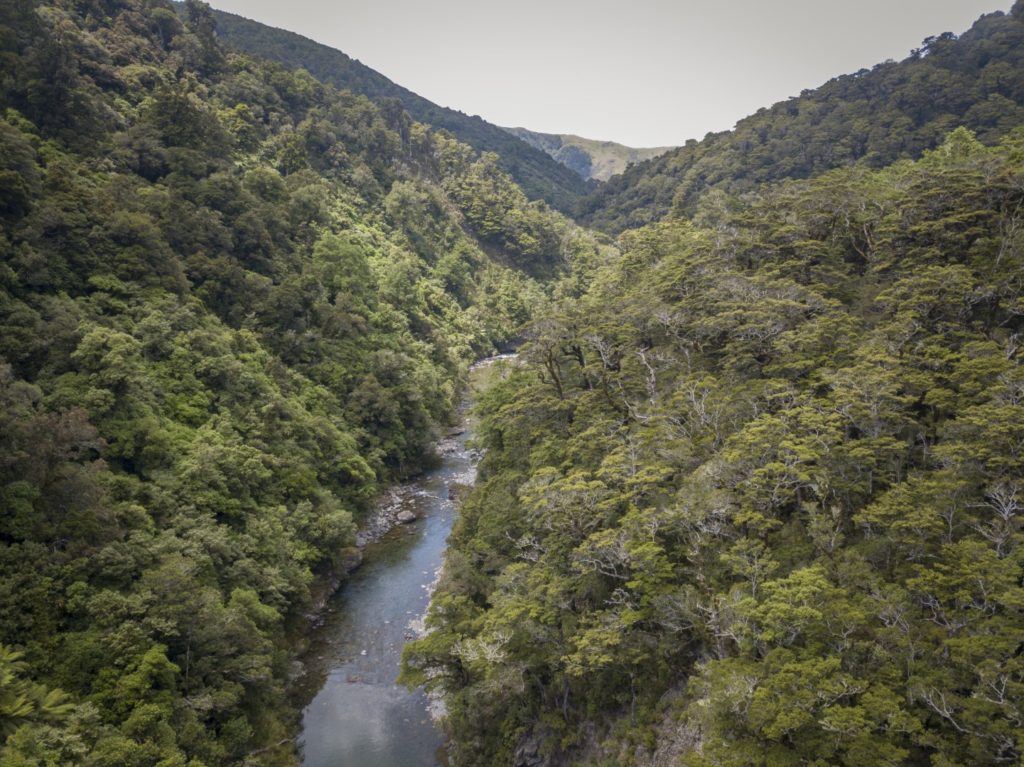
The river gorges a little more toward the park boundary. Beyond the park boundary the river is more open and is Class II down to the confluence of a significant side-stream at the take-out. This section is used as a roadside run by kayakers. The gorge receives virtually no use due to the challenging access and fickle flows. But that was before packrafters!


All Photos Andrew Harding
The Gauge
The Gauge is Waingawa at Kaituna.
This river like the Tauheriniakau and Ruamahanga is very flashy; it comes up fast and drops fast. This is illustrated by this significant rain event and resulting hydrograph. Baseflow of 2 cumec rises slowly then the main event hits and river flow peaks at 120 cumec falling into the paddleable zone after ten hours in this case (13 cumecs).


I took the plunge on this solo trip today and it was great. The first half is fast with almost continuous rapids and big boulders hiding the best route through. Quite exciting if you run it blind, but still only grade 2. Watch out for the 1 reasonable 1m drop. 6.8 cumics was just enough to not be bony.
Sign at the start says 4 hrs to hut but if you ebike to the road end farm sheds it is less than 2 hrs to hut. Below the sheds is farm land and wider river so I didn’t do this bit. 1.5 hrs of rafting