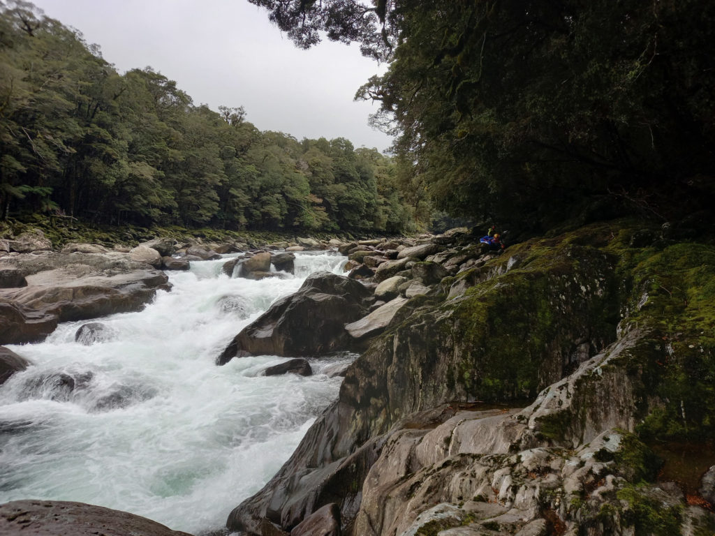
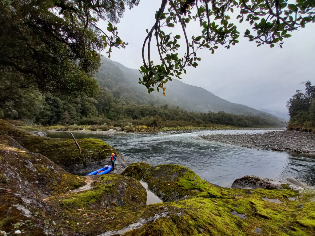
A great through trip with good tracks, great tops, nice huts and honest bushbashing with a great paddle at the end. The Thomas is challenging river with good scouting, and forgiving pools beneath most of the grade I to III rapids, and good portages past the IV/V monsters.
This trip page was built from info collated from Tom Spencer, Bryan Moore and Kat West.
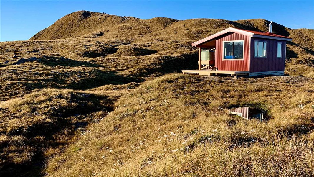
The “Mataketake Tops Route” was coined in February 2020 with the opening of the Mataketake Hut, and re-cutting of some old tracks. The hut was built by the Backcountry Trust, from a bequest by Andy Dennis. The tracks were re-established to create a 3 day tramping loop, but Packrafters will see the potential for this great through trip. The car shuttle isn’t very long, and you could probably hitch a ride if you just had the one vehicle…
View Larger Topographic Map
Day 1: SH6 to Mataketake Hut 8-9hrs
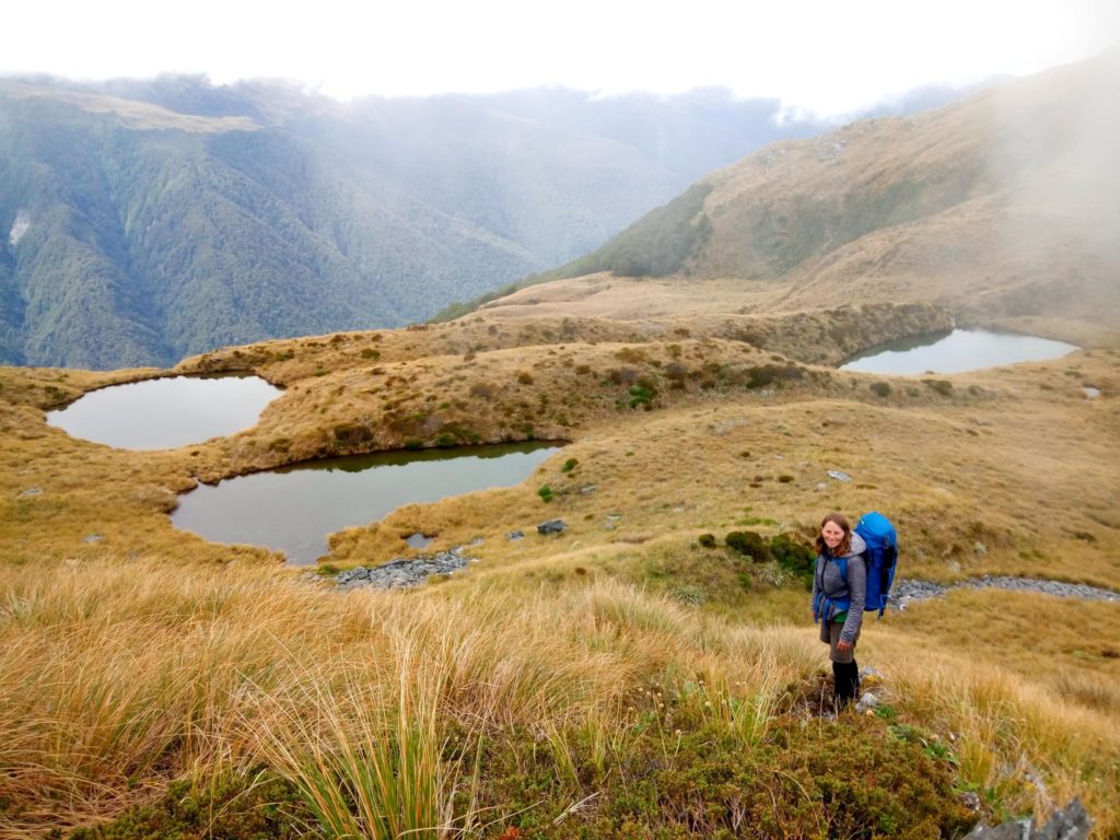
Blowfly Hut (8 bunks) is an easy walk in via headlamp if you find yourself arriving at the road end after dark. Otherwise, its a quick warm up for the day ahead. The DOC page has more info on the Mataketake Tops Route, but essentially take the Mica mine track and Mataketake Tops if the weather is good or go via Maori Saddle if it isn’t that great. (But the tops are a highlight, so wait for a decent weather window!).
Mataketake Hut requires booking (in person at Haast or Franz visitor centers). Worth giving them a call ahead of time to check the hut isn’t full before you set off… Also, you should probably avoid the trip during the Roar (mid-March to mid April) as it’ll be busy with hunters.
Day 2: Mataketake Hut to Thomas River Hut. (I/II paddling) 5-6hrs
Continue along the Mataketake Tops route then descend Reef spur (no track). The bush bashing is reasonably hard work and navigation is difficult lower down the ridge. Be warned! (4hrs from hut to river).
Bryan Moore reckons he’d try the spur starting at .1292m next time to see if it was any easier… If you do try this alternate route, note that this puts you into the Thomas above a steeper/narrower section than described below (ie, likely harder paddling/tougher portages…)
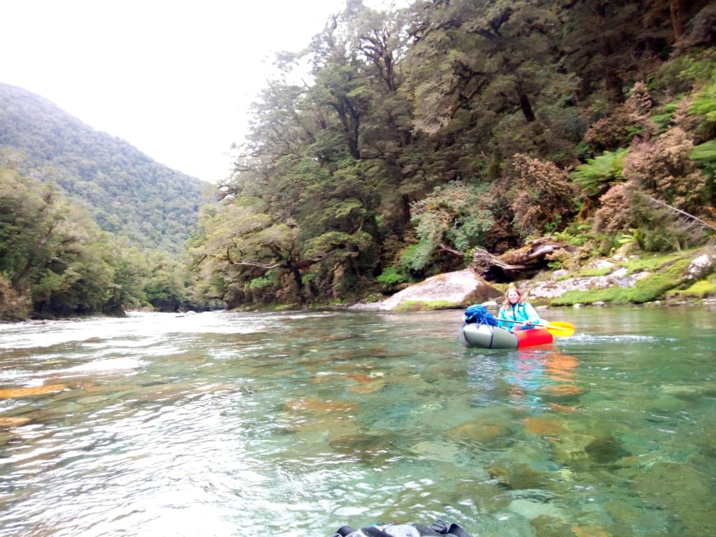
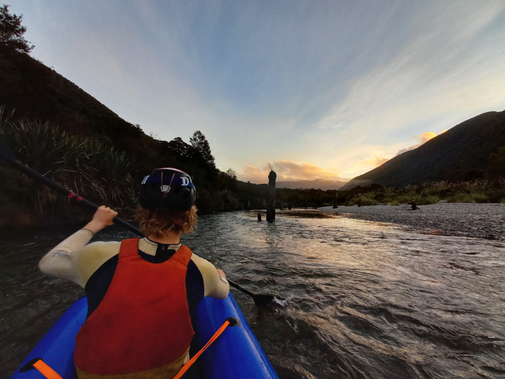
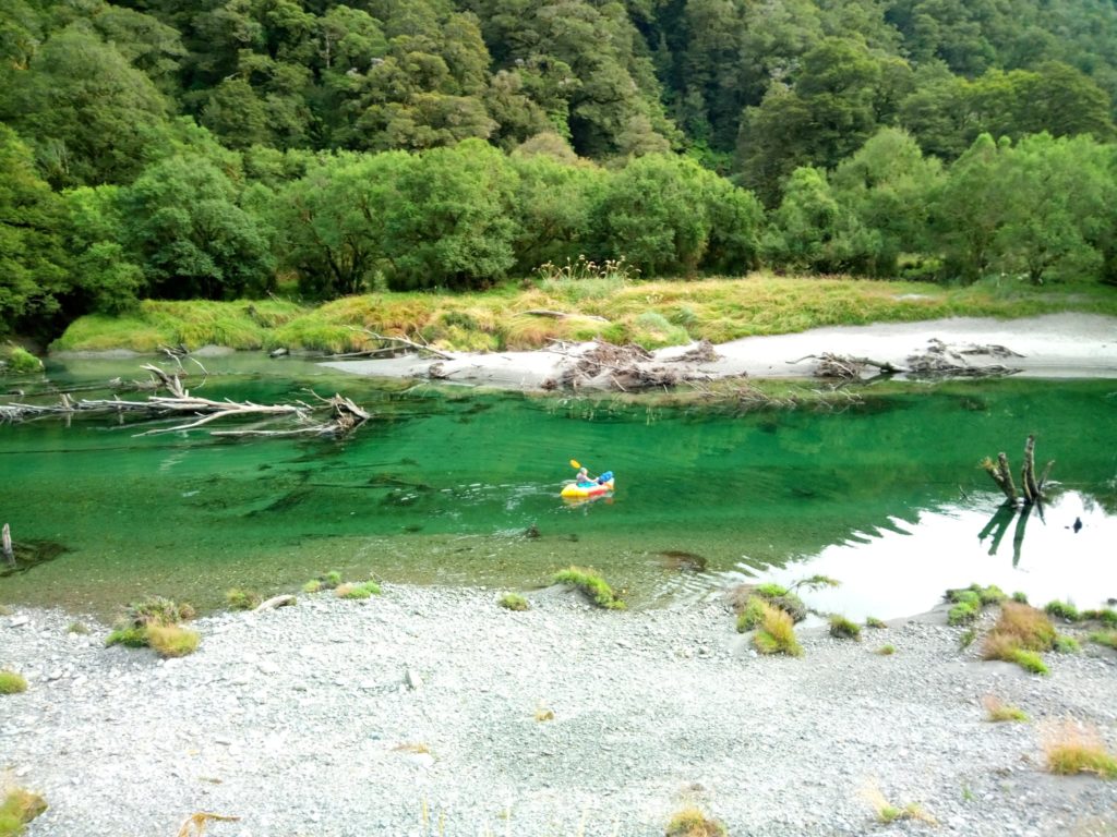
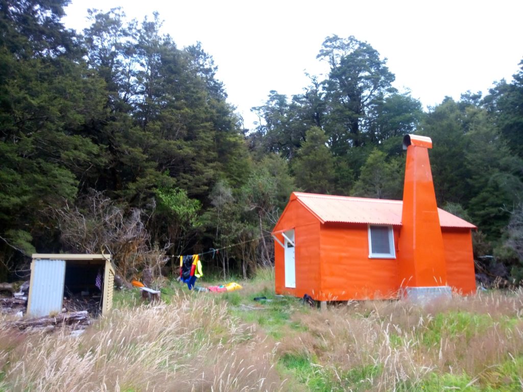
Enjoy about 6km/1-2hrs of grade I/II paddling down to Thomas River Hut. (6 bunks)
The hut gets a fair bit of use from Heli in Hunters and Fisherfolk apparently, so don’t be surprised if you don’t have the hut to yourselves. (You might score a free beer if you smile nicely)
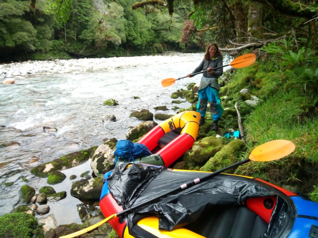
Day 3: Thomas River Hut to Haast River. (III & V with portages) 4hrs
You could paddle a few of the easier drops beneath the hut before it enters the steep boulder garden grade V section, or even follow the river and paddle the bits you dare…
But….. most folk will probably find it easier just to begin the day by walking the track to where it re-joins the river below.
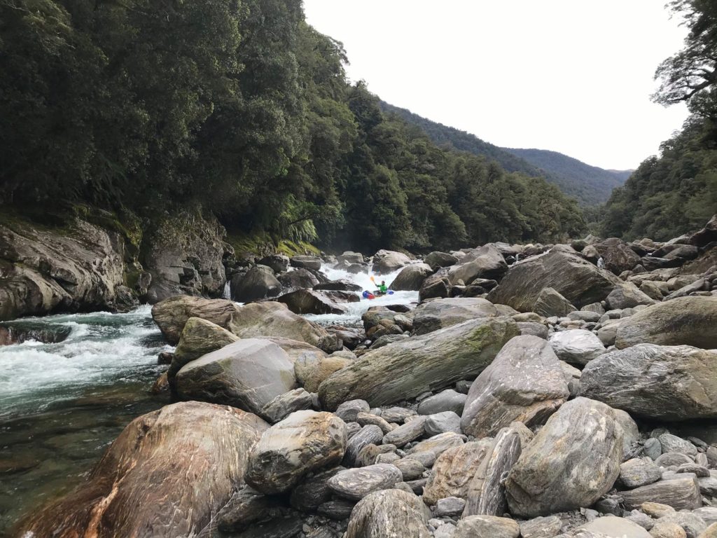
Put back on as the rapids ease to mostly grade II & III. Enjoy some sweet scouting and paddling!
There’s still a couple of harder (IV/V) ones which most folk will portage. The V is reasonably easy to spot; by an huge moss covered boulder at the end of a long straight.
All of the rapids are easy enough to scout/portage. Scouting is definitely advised to make sure you don’t drop into the big ones without knowing it..
At the Haast, you can paddle across and access SH6 via a wee track to a gravel ‘car park’ about 200m west of Thomas Bluff. Keen beans might choose continue to float the Haast (I+) but it is still about 12km of river to the SH6 bridge, and in the afternoons the sea breeze (headwind) gets pretty strong..
Other options
The shortest approach is up the valley itself, using the DOC track. About 300m west of Thomas bluff, drive slowly to find a big gravel shoulder on the river side of the highway. There’s an easy track through the scrub which gets you onto the Haast River flats. You’ll almost certainly need to paddle your boats across the mighty Haast.
The track is a bit overgrown in places, but isn’t too tricky to follow and is reasonably well marked. 3-4hrs from the confluence to the 6 Bunk Thomas River Hut, so you could do the lower II/III section in longish a day if you were keen.
Tom Spencer approached from Thomas Bluff and The Thomas Range, taking 2 days to reach Thomas Hut. There are routes from Roaring Billy Hut to Thomas Hut, and you could also make the trip from the Haast end of the Haast-Paringa Cattle track, using a bike shuttle, but that would probably be a 4 day trip.
Gauge
All visual on the Thomas.
The Haast River at Roaring Billy has a rainfall and flow gauge. This is the west coast. It rains heaps and the rivers rise (and fall) rapidly. Plan accordingly.


