An ‘almost-loop’ trip through Arthurs Pass mountains and braided river valleys. There are a few options for paddling the Poulter, including continuing on down the Waimakariri Gorge.
Thanks to Michael Batchelor for the information and photos to make up this trip page. Haydn Deane posted a great video of the Poulter-Waimak Gorge option on vimeo .
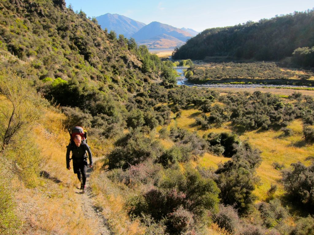
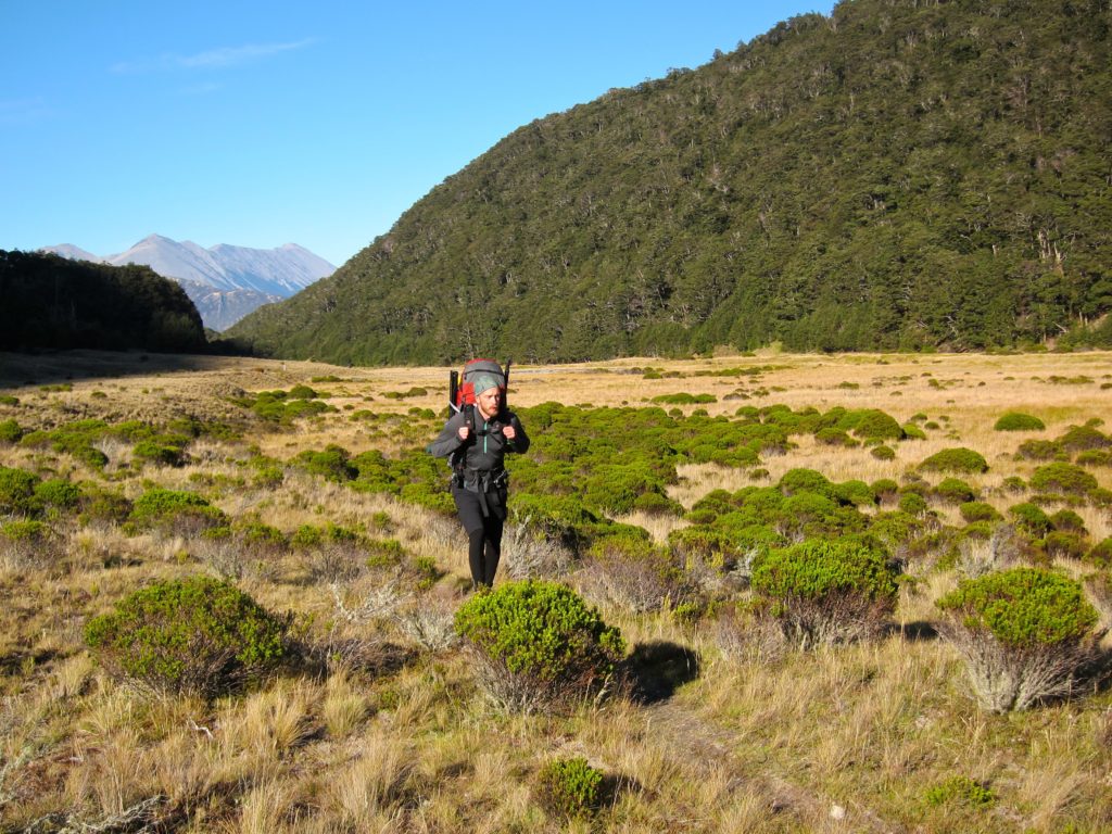
Andrews Shelter to the old Casey Hut site
The road from the highway to Andrews Shelter is fine for most vehicles. Check out the Check out the Casey-Binser Saddle route page on the DOC website for detailed track notes for this 7-8hr walk.
Unfortunately, Casey Hut burnt down in October 2015, and there are no current plans to replace it. Trust-Poulter Hut is another 1.5 hrs up valley, though the river is likely to be much more boney/shallow up there and it may not be worth the walk.
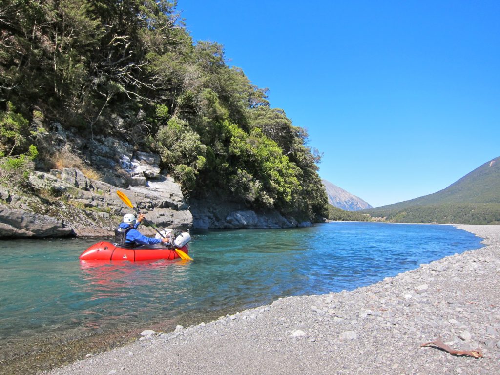
Poulter River (I/II) from Casey Hut Site to Mt White Bridge
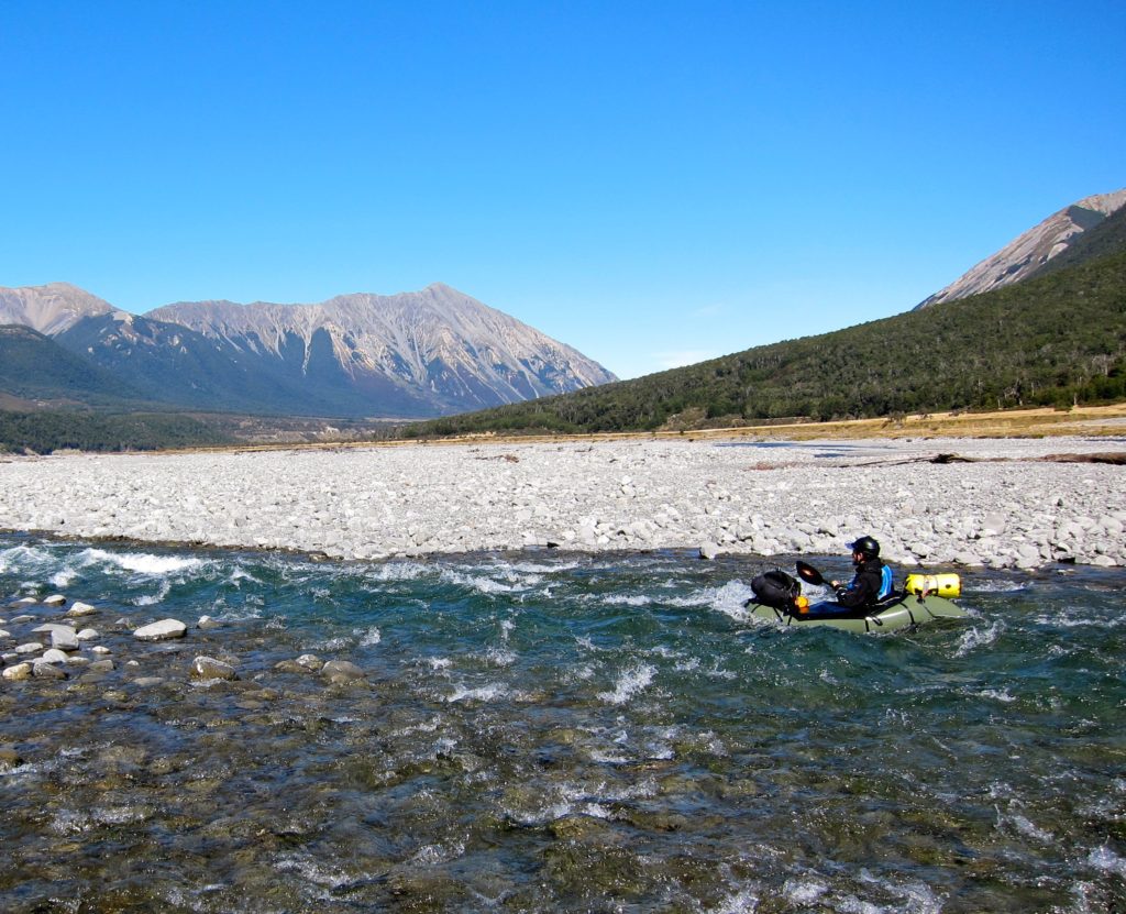
Typical braided river paddling; plenty of class I floating with a few class II wave trains and minor rapids. Like most braided rivers, it tends to get a bit shallow and bony in times of low flow, so perhaps its not the best choice at the end of a long dry spell of weather.
Options for returning to your car
There are a few options for getting back to Andrews shelter. You could either walk the road, or shuttle via car or mountain bike. Binser Saddle takes about 3.5 hrs from the Poulter to Andrews shelter. This option means less paddling and more walking but has nice views on the western side on a fine day.
Options for continuing paddling
With a car shuttle, you could easily combine the Poulter with an extra day or two through the Waimakarirri Gorge (II/II+) which is detailed on a separate page.
Gauge
Visual. There’s no gauge on the Poulter. Like most braided rivers, it tends to get a bit shallow and bony in times of low flow, so perhaps its not the best choice at the end of a long dry spell of weather.
The Canterbury Kayaking website (paddle training provider) has a good list of flow sites for the area, and reccomendations for flows for the nearby Waimakarirri Gorge trip.
It’s a good idea to consider the wind forecast for the Canterbury High Country ; Canterbury is fequently home to the ‘nor-wester’ which can make packrafting a challenge or threaten safety.


Great trip. We went 8/12/22 and had good flows all the way from Casey hut down. Waimak gage was at about 100. No rain in the previous couple days.
The wire at the park boundary looked still cut on the lowest wire so probably runnable. It was hard to tell what was going on so we portaged anyway. Very easy to see on a clear day.
I’d agree with Melanie that there’s some solid grade 2 around the Bisner saddle area. Good tramp and great river, thanks for this writeup!
Excellent easy trip, left packs at Andrews shelter, parked at the poulter carpark, biked back to Andrews shelter then left bikes and walked in. There is a new Casey hut and it is great. Put in directly across from the hut past the matagouri.
Slightly bony even with light rain so definitely not fun in the dry.
The famed wire strung across the river at the park boundary near the east poulter confluence appeared to be cut so wasn’t an issue. Maybe it will be re-installed so be careful.
Pull out just before the poulter bridge gorge, 5 min walk back to the car.
I’m not sure of the flow when I did it but there was a boulder garden to navigate through in the Casey-Binser Saddle route area of the river (just upstream and downstream). This was the most demanding area.
It’s a fun river.