The Matiri is known as an epic kayak run when it’s in flood. More than any other river in the Murchison area, the Matiri’s character varies with flow. For packrafting, it’s a nice run at lower flows. From the end of the road you can walk several kilometres up the track towards the lake and determine where you are comfortable to put in. The nearer the Lake the more sieves.
To Get to the Take-out
Drive up Matiri Valley road until it turns to gravel and then takes a sharp 90 degree right hand turn. From here it’s just under 2km to the take-out where the terrace ends and the road starts to climb slightly. Look for a cleared patch through the willows to the river.
To Get to the Put-in
Continue up Matiri Valley Road and turn across the bridge onto Matiri West Bank road. Drive all the way to the DOC carpark at the road end. As of June 2020 it is a marshalling area for hydro project earthworks equipment.
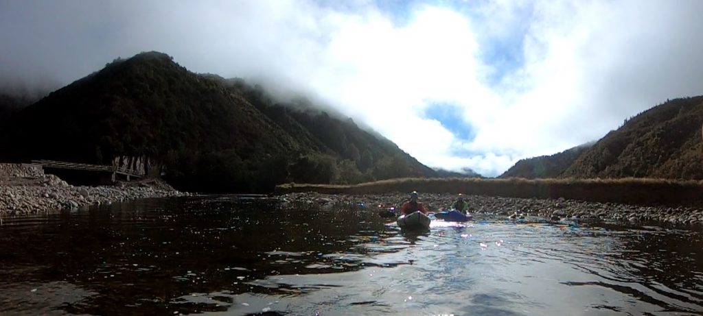
On the River
For the first kilometre or two there are some nice boulders and bedrock features and then the river eases with gravel and chutes. There are still enough boulder and bedrock features to retain interest.
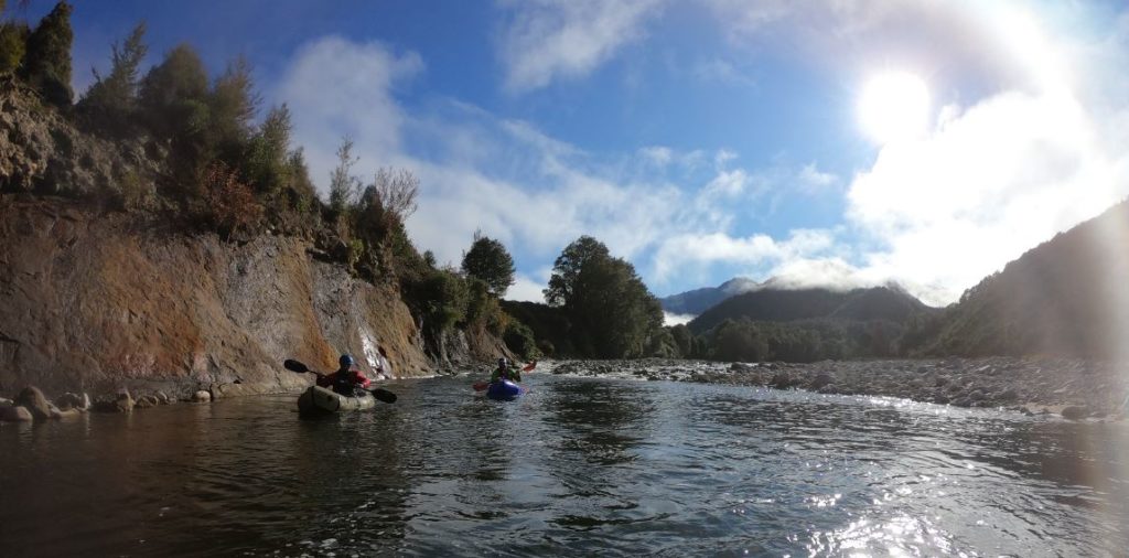
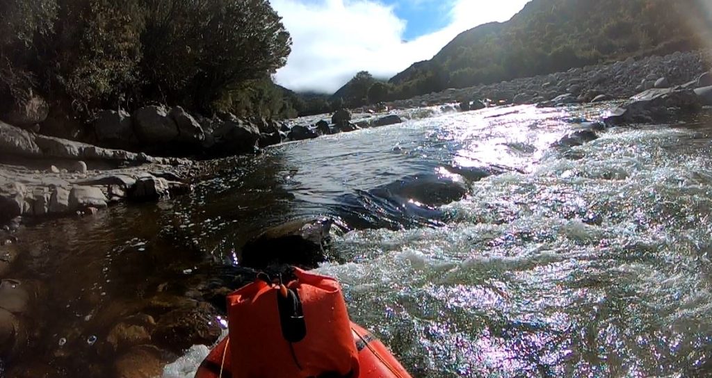
At about the 5 km mark the valley constricts and there is a nice bedrock gorge for a few km – this is the epic bit that kayakers value at flood flows when enormous waves develop.
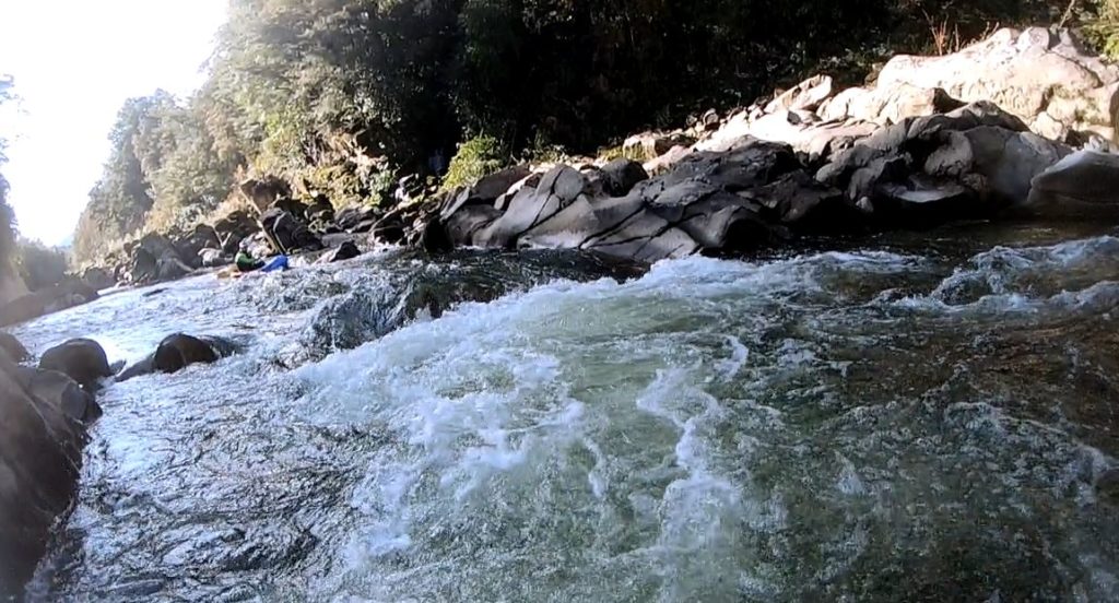
The whitewater eases and the river widens again and then the bridge comes into view.
After the bridge, just as the valley opens out again, comes the gnarliest rapid. As of June 2020 it had a number of dangerous logs and boulders. Once again this rapid is the result of debris from an earthquake triggered landslide. It must be carefully scouted before attempting or portaging.
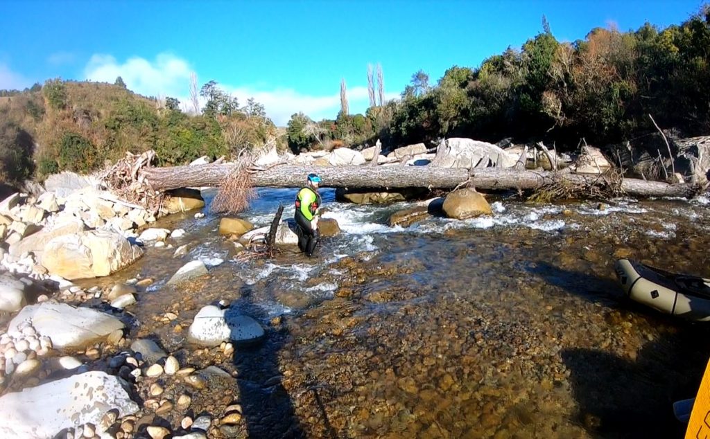
Three hundred metres on and it’s the take-out on river left. Below this the river is wider and without appreciable whitewater.
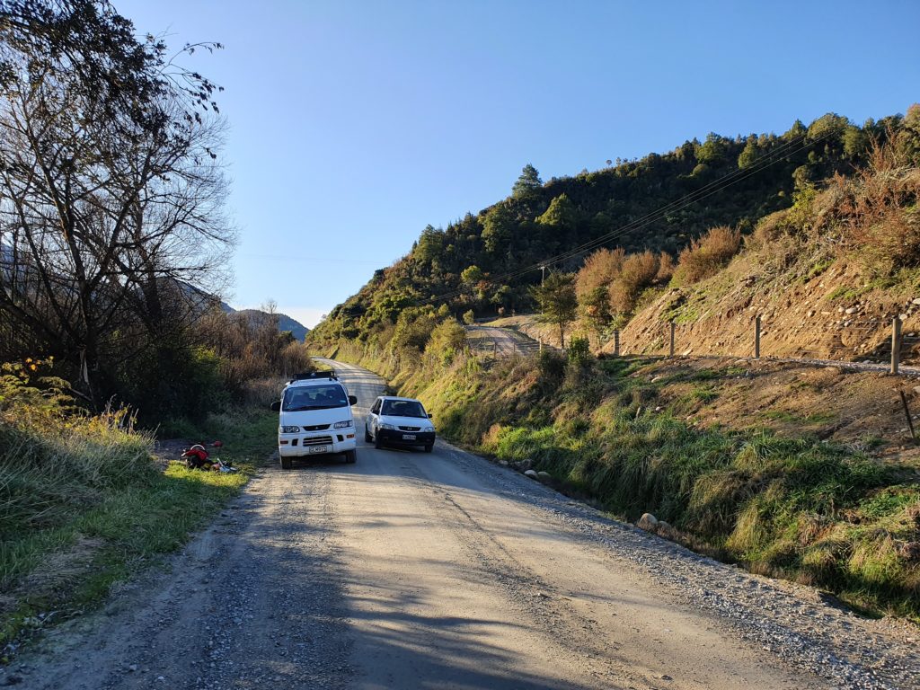
Below the Takeout
The river broadens and shallows and is willow country, but navigable. Where it meets the Buller – depending on flow, is “Cauliflower Surprise”, a huge upwelling that is hard to avoid and terrifying to be on. It’s not dangerous in itself, but you’re now on a much bigger river so you need to be able to rescue. Done this section twice. Second time there was nothing there. You can then paddle some Grade 2 on the Buller down to O’Sullivans Rapid. Get out on the L at a small sandy beach 150m above the rapid
Gauge
Here’s a hairy guide from Hugh Canard. One day we can replace this with a gauged flow, thanks, but no thanks, to a new hydro station upriver.
Low flow – no rain for over two weeks. Probably 5 -10 cumecs. Colour dark tannin.
What you can see in the pictures. Tight, technical, Grade 2 maybe Grade 3 in places, but lacking power to trap you where you can’t clamber out. In summer the river is warm and locals know this, so you can discover people swimming here, sometimes ”informally”. Kayakers won’t get their boats off the roof rack. The crux rapid at the end is easier because it spreads out and you can walk it.
Medium Flow – rain in the past week, or light rain. Maybe 10-25 cumecs. Colour light tannin.
The river is quite a different proposition, as the bottom boulders are covered and the rapids become much more pushy, but with clear lines and eddies you will want to see and catch. Everything speeds up, especially in the middle gorged section. There are still visible rocks and rocky ledges at medium flow. Genuine Grade 3. The final rapid requires you to find a line where you won’t be pushed under a log, or undercut rock. Worth a scout from L or R. Trees are a hazard. Most lines are hard L.
High Flow – rained all night – 25- 75 cumecs. Colour muddy brown.
This is when kayakers turn up. Packrafters should avoid.
Feature photo Andrew Harding
View Larger Topographic Map


Karamea river- flow around 140 cumecs, came up to around 200 after rain on night 2
Day 1 – Walked in via the Wangapeka track from rolling junction- stayed in helicopter hut
Day 2- Walked down to around 3km downstream of Trevor Carter Hut & put on. Gorgeous paddling through moonstone lakes, then typical Karamea slip rapids/pools, around G3- we portaged one larger drop ( ? Around Apollo creek) on the true right. It didn’t have enough flow, but would probably go at steep G4 with flow. Stopped at Venus hut for the night. Rained steadily all night
Day 3- Venus hut to karamea bend. Lots of G3/3+ boulder gardens, with the river slowly increasing in volume. 7-8h on the river to Karamea bend hut
Day 4- short day to roaring lion hut- more typical Karamea slip rapids/pools. G3/3+
Day 5- out to the road. Portaged roaring lion rapid on the left (in the bush) then loads of whitewater all the way out , slowly building to G4. Becoming bigger water, lots of excitement in the packraft. There are 2 G4 crux rapids in the lower gorge- the first had a drop in the middle that looked really manky, so we portaged half the rapid on the right, then ran the second half. The second has some big features, with sieves if you screw it up badly. The holes are definitely sticky in a packraft.
Great trip, you definitely want a reasonably strong team, be happy with eddy hopping read & run G3+/4, & be competent with rescue. It’s pretty remote if there was a problem. A bit more water in the upper section would have been ideal, but I wouldn’t want to paddle the lower section with much more flow in packrafts (though better paddlers might be fine)