The Lower Harrison is an adventurous out and return day trip in Milford Sound. Suitable for strong intermediate paddlers, it’s a great mission to get the sensation of wilderness without straying far from the road end.
The minimum skill and experience for this trip are basic offtrack route-finding skills, identifying hazards and paddling grade III/III+ whitewater well within your comfort zone. This isn’t your first grade III trip: there can be serious consequences for swims or missing eddies.
Thanks to Nick Ozard for the info and photos for this trip, and to Hugh Canard for pointing Nick in the right direction…
View Larger Topographic Map
Approach
Enclosed on three sides by the towering peaks of the Darrans, approaching the Harrison from any direction other than south would be a significant transalpine undertaking. The following description outlines an out and back route starting and finishing with a flatwater paddle from the Milford Road end.
Parking
At the time of writing, there is free parking on Deepwater Basin road or paid parking near the ferry terminal. This could add an extra 1km of paddling each way round from Deepwater Basin or $50 for the day. Pick your poison.
Milford sound crossing
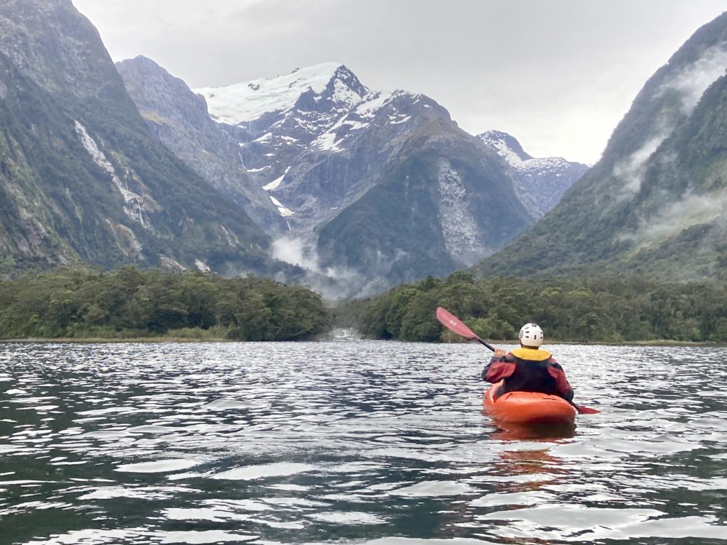
A 5km stretch of brackish water separates the road end and the mouth of the Harrison. A variety of watercraft could be utilised to tackle this obstacle and you should choose your vessel to suit the weather and tidal conditions. In calm conditions and an outgoing tide, packraft purists can expect a 1-2 hour paddle around Bridget point and into Harrison cove, with the peak of Mt Pembroke draped in the icy mass of the Pembroke glacier looming above the river.
However, inflatables are vulnerable in rough seas and/or strong winds. In anything but ideal conditions, there is a real danger of getting separated from your raft if you were to tip out. It is worth considering some kind of tether to connect you to your boat for this stretch across the sea, but make sure to remove it before you put on the river to avoid entanglement.
Sea kayaks or whitewater kayaks will fair better against the tide and wind and can cover this stretch far quicker. Another option is to organise a water taxi but this may fix you to a timeframe of drop-offs and pickups.
At certain times of the day, this is a very busy stretch of water with fishing boats, cruise ships, tour boats and so on. Make sure you are visible and paddle close together as a group and give the big vessells a wide berth.
The Walk
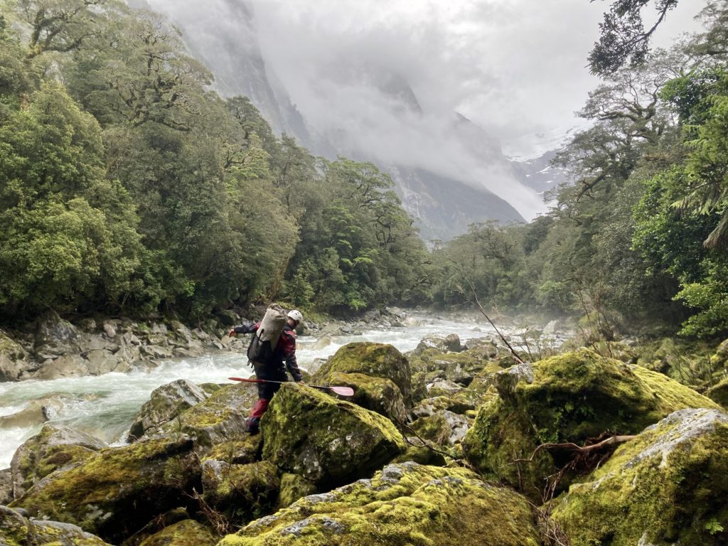
About 2.5 hours walk up the true left will take you from the mouth of the river to the confluence of the Harrison and Pembroke creek (3km upstream). Steady progress can be made by sticking to the riverbed taking care over slippery boulders and through tangles of deadfall.
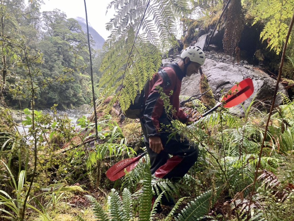
On occasion, a large boulder on the riverbank may necessitate either a short detour into the dense, but not impenetrable, bush or a wade around the edge of a still pool in the river.
Walking up beside the river means you can get a good look at the rapids on the way up and know exactly what you’re getting yourself into.
The Paddle
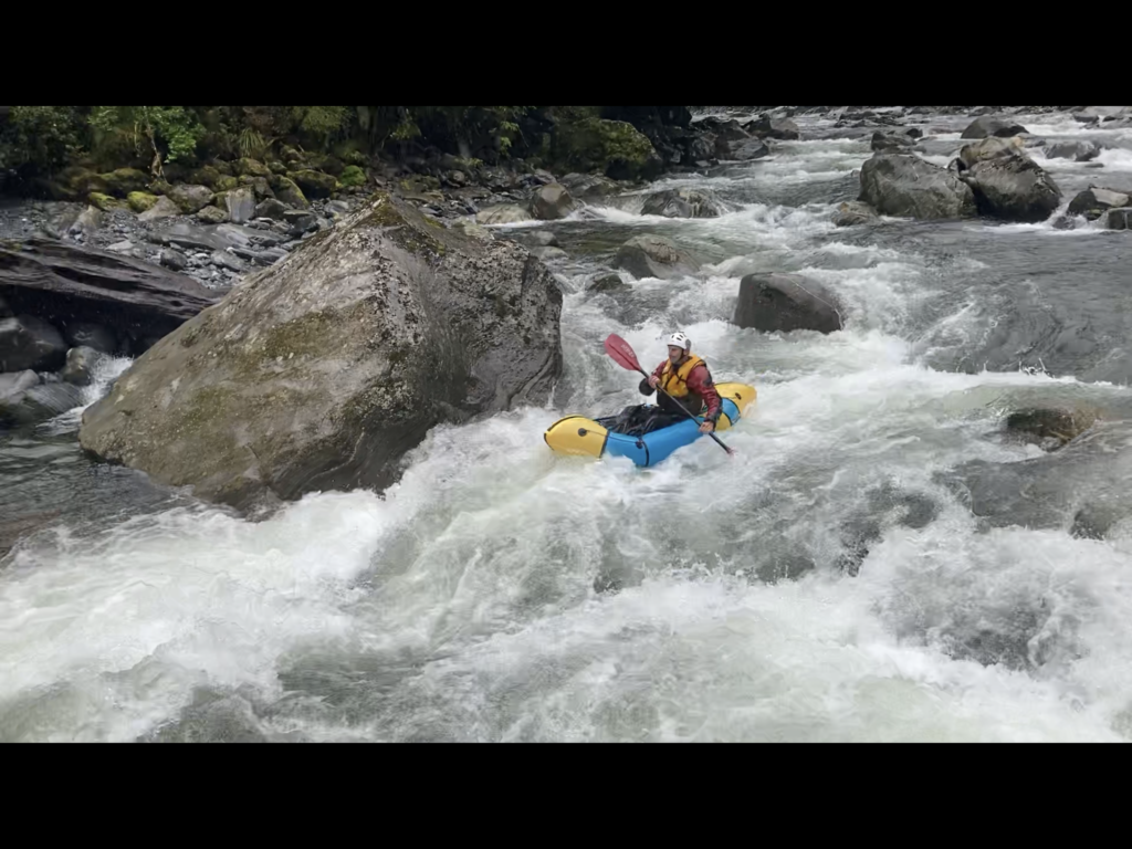
From Pembroke creek, the river welcomes you with a short stretch of II+ boulder garden to loosen you up, shortly downstream the river splits into two channels either side of an island. The II+ continues down the left channel to the bottom of the island where it leads into the first of the two grade IV rapids, Bionic Whitebait.
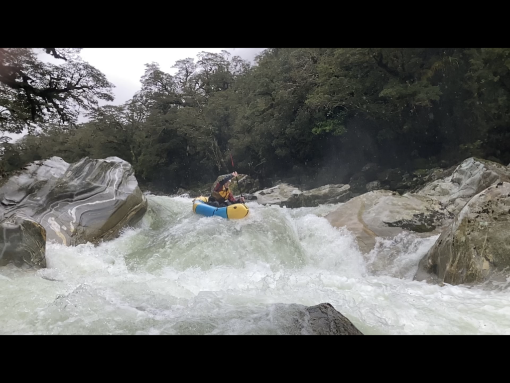
Bionic Whitebait is a beautiful drop between boulders, followed by a wavey hole and finally a boof over a retentive hydraulic beside an undercut rock. Scout and portage river left.
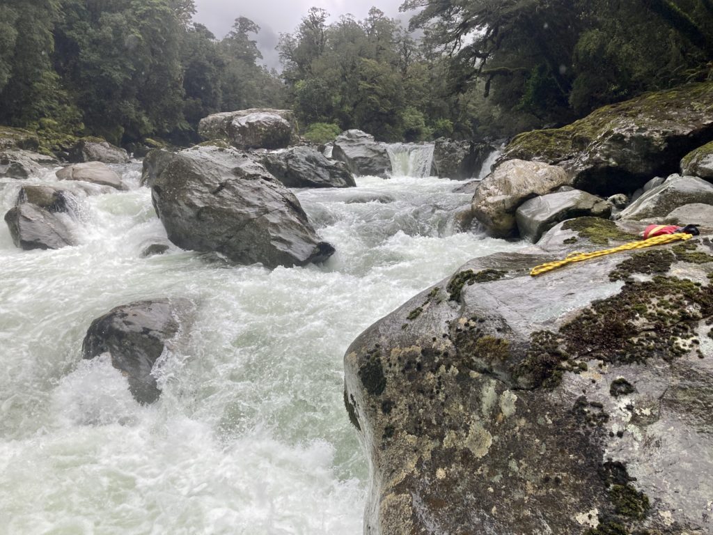
The whole rapid from below 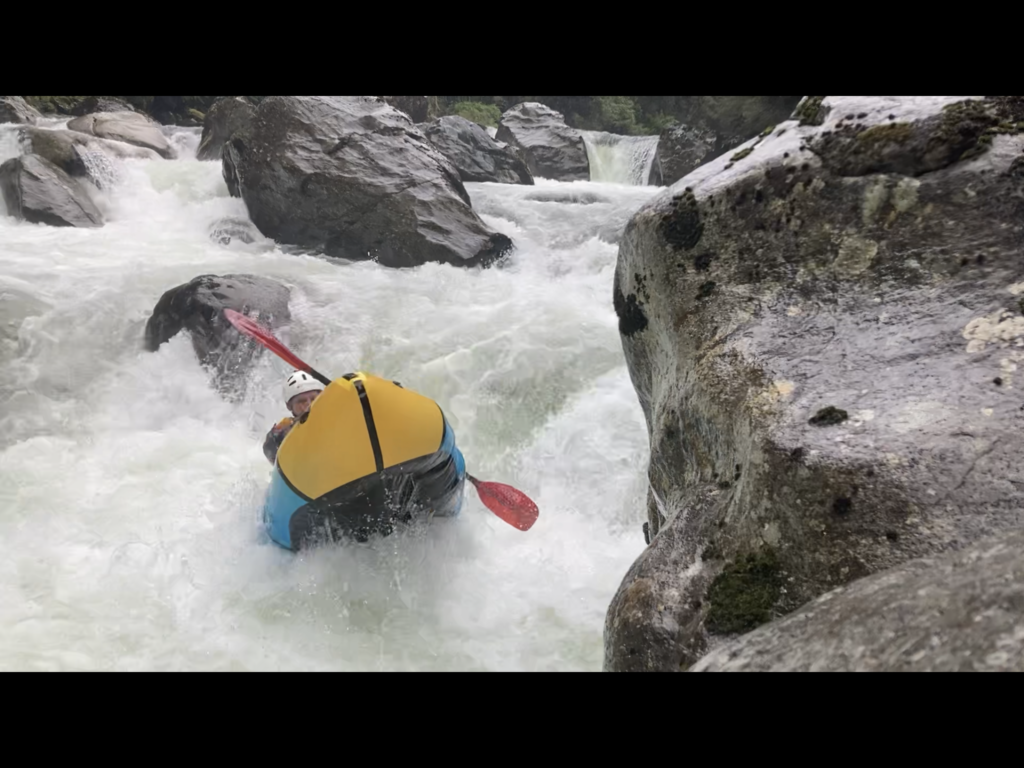
Escaping the retentive final hydraulic 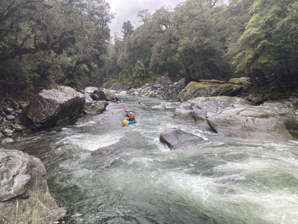
Looking down at the exit of the rapid
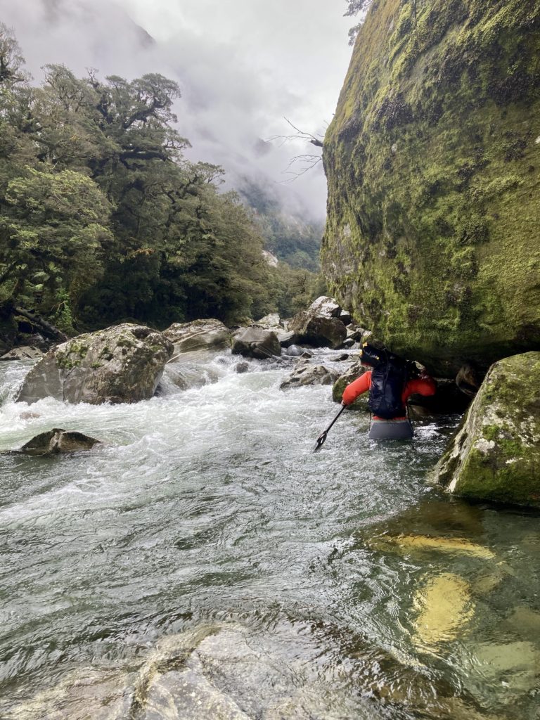
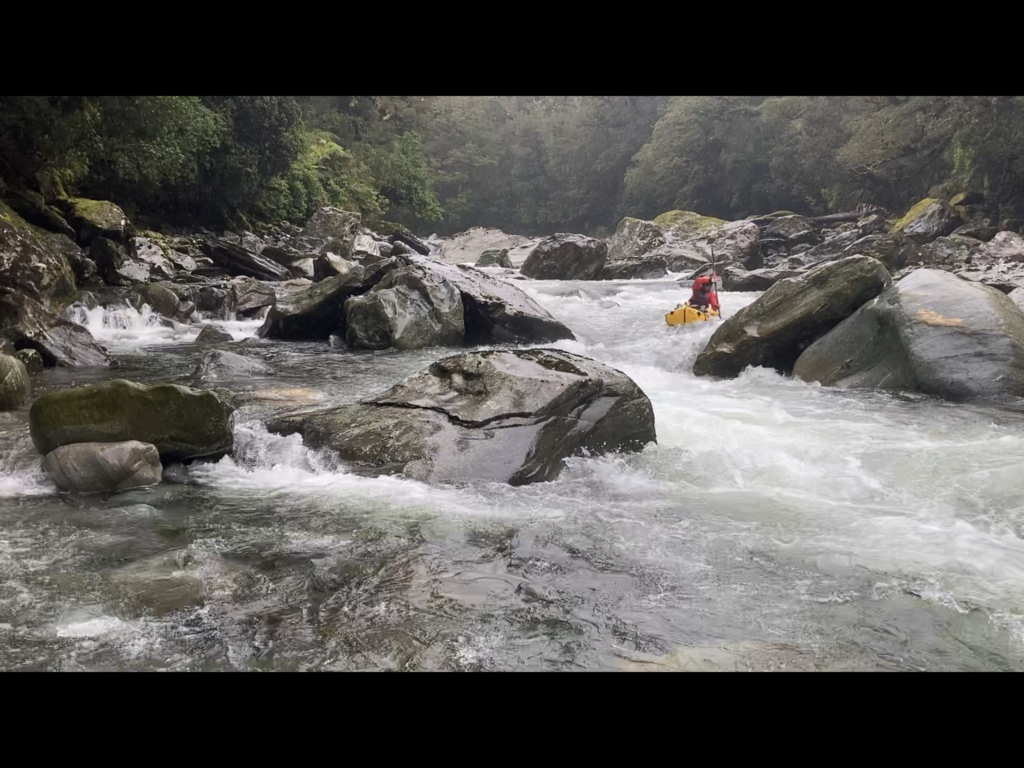
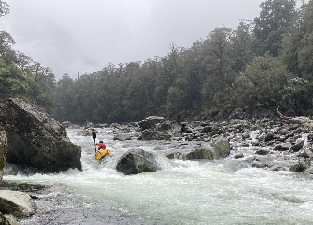
The next 2km is great paddling: a continuous cycle of grade III boulder gardens interspersed with stretches of grade II to give you time to take in the scenery.
Gongshow is the second grade IV and last rapid before the sea. A manky entry rapid followed by a pool leads you up to the main feature a 2m drop amongst large boulders. Scout and portage river right.
There is a fair bit of wood in the river that could pose a danger, along with undercuts and other hazards. Good scouting and understanding of river features is important to identify these hazards and good paddling skills to avoid them.
Gauge
The Harrison needs rain. We paddled it through patchy showers the day after a NW storm in which 70mm of rain fell. Bowen and Stirling falls were both chucking out a lot of water as we paddled across the sound. The Harrison was running clear, this is an important factor as increased flow and discolouration would likely turn things up a notch.
Big thanks to hugh canard for pointing us in the right direction.


