


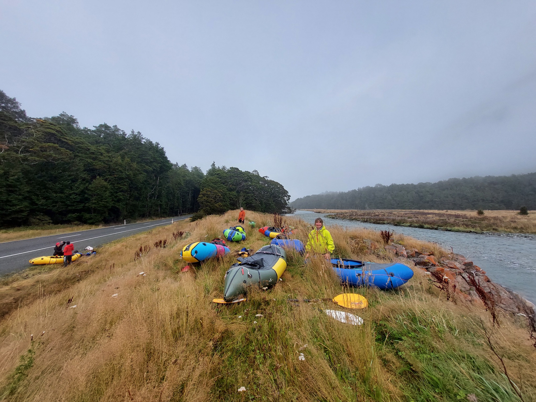
Delightful roadside paddling
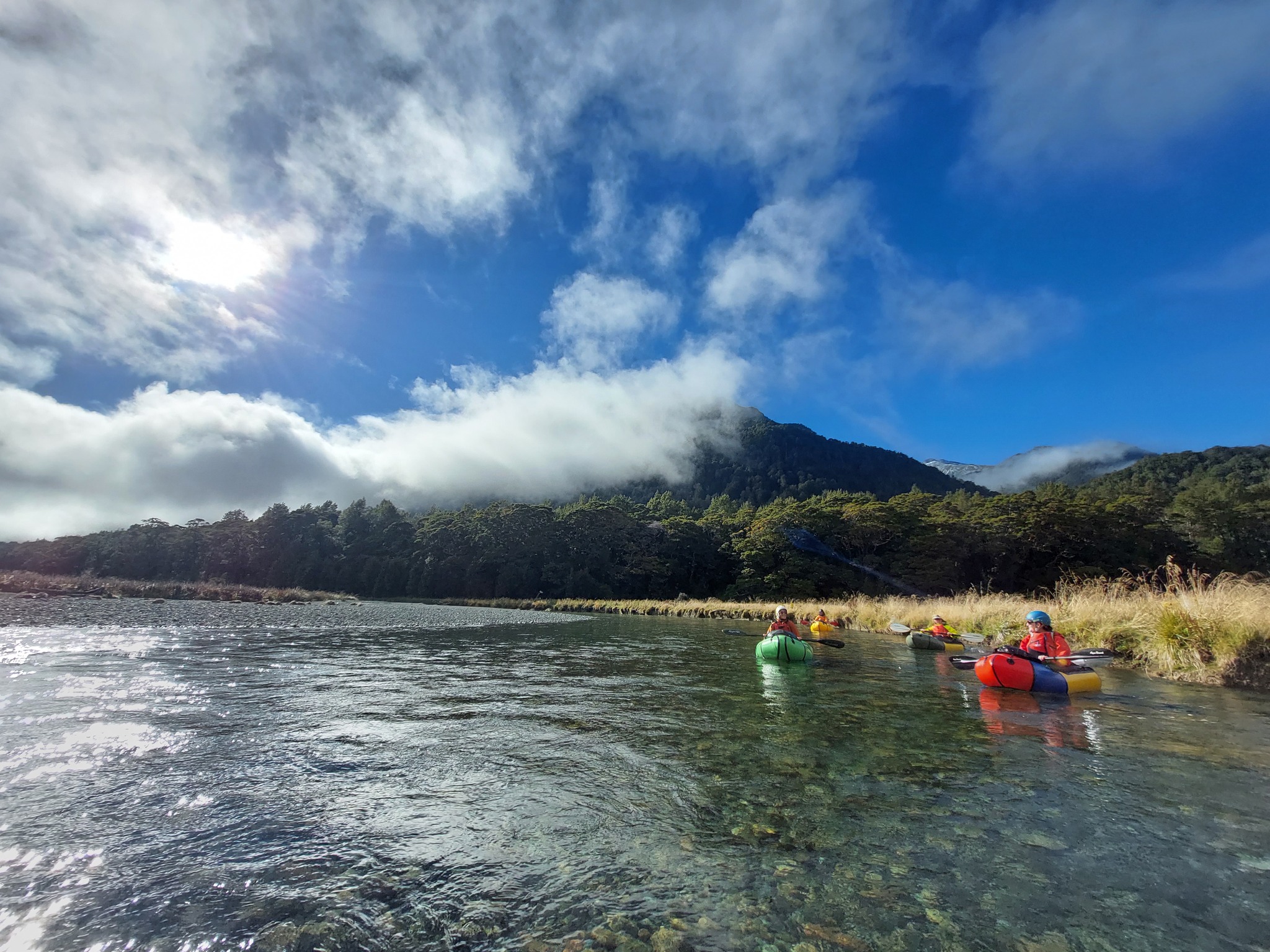
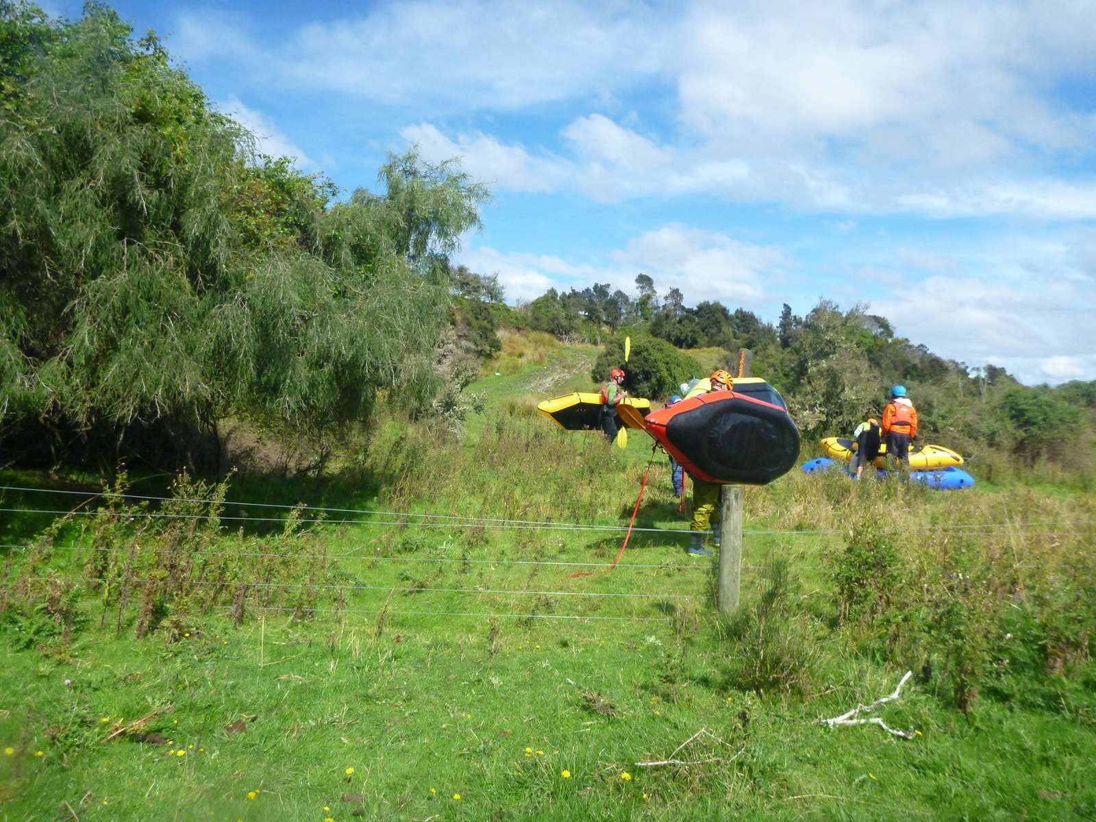
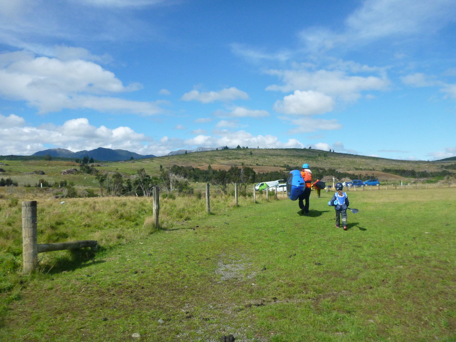
There is a long section of easy and scenic packrafting to be enjoyed in this valley, using State Highway 94 to access the river at many points. You can pick and choose which sections you do, as half-day, long day or overnight trips using one of the many car-accessible DOC campgrounds along the highway.
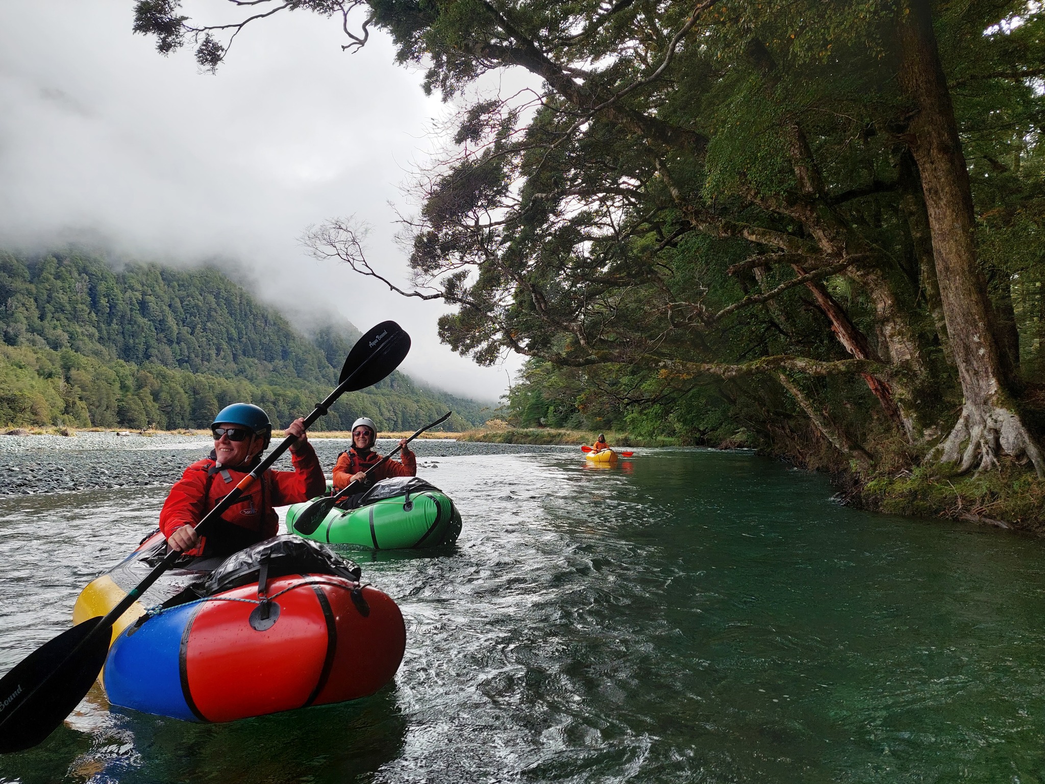
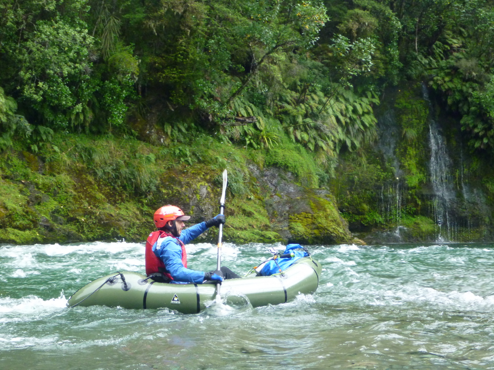
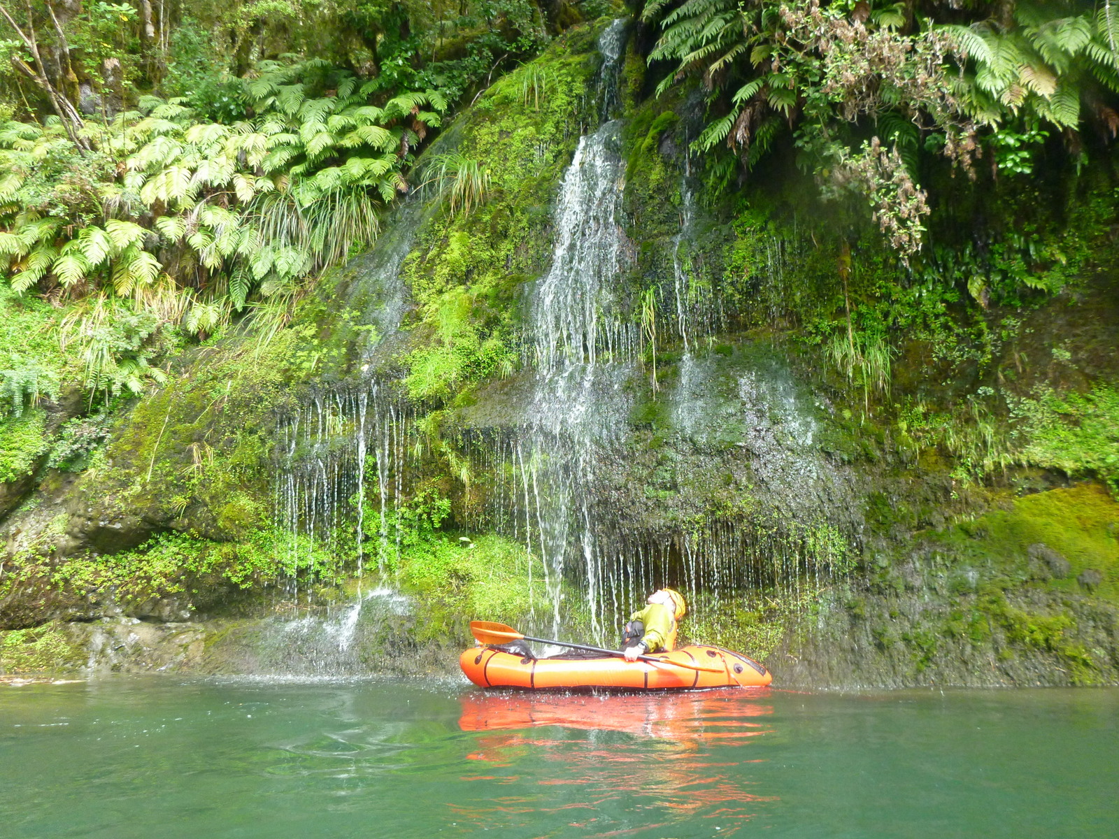
Below Mistake Creek, the West Branch is mostly scenic grade I floating, with a couple of grade II rapids that can be portaged, making it great for beginners in the company of more experienced boaters. Although the paddling isn’t very technical, there are still real hazards like logs, strainers and rocks to avoid.
Trip suggestions
- Classic half-day trip: Walker Creek Campsite, via Limestone Gorge (II) to the farm track take out (2-3hrs)
- Overnight. Eglinton flat to McKay Creek Campsite (4-5hrs) Day two, paddle to the lake (4-5hrs)
Nearby sections: The Eglinton West branch starts at Lake Gunn, with a technical grade III section through to Mistake Creek confluence, described elsewhere on this site. The East Branch is steep and bouldery, likely to be a run for experts in higher water.
Thank you to Dan Clearwater, Mel Heather and Penzy Dinsdale for the info and photos.
View Larger Topographic Map
Shuttle/trip planning
There are a few entry and exit options, depending on how much time you want to spend.
Hitchhiking/Driving/Bike shuttling
The majority of the traffic on the road heads north during the first part of the day. As the day wears on, its only folks who are planning to camp who will be driving north. So Hitch-hiking is best done not too late in the day. (Hot tip; people are more likely to pick you up if you are holding a novelty item such as your paddle!)
Also, bear in mind that this road sees a huge amount of tourist traffic, so sometimes the quality of the driving is not as good as you’d hope for, so perhaps think twice about doing a bike-shuttle.
Put on locations;
Upstream of Walker Creek Campsite, there are numerous DOC campgrounds and scenic viewpoints. They are generally close enough to the river to gear up at your car, although some require a short walk to reach the water.
The Eglinton drops quickly and can suffer from low flows after a dry period. When choosing a put on spot, make sure you’ve got enough water! Obviously, there is more water in the river is in the lower sections where tributaries are adding to the flow.
- The lowest easy access point is from Walker Creek Campsite.
- Upstream of McKay Creek Campsite, you’ll head away from the river for a while, and pass upstream of the confluence with the east Branch. If you get to Deer Flat campsite and there’s not enough water, then you need to return to McKay!
- Eglinton flat is the highest easy roadsite put on spot.
- You can put on as high as the confluence of Mistake Creek: remember, above the confluence is grade III water and hazards.
Take out locations
In the middle reaches, there’s plenty of options. It is all public land, so you can take out just about anywhere; consult the map and make your choices.
Below Walker Creek Campsite, there are only two simple options for taking out;
Below the gorge.
On the topomap, there is a very short vehicle track marked from the river to the highway. Fiordland National Park comes almost right up to the highway here, so it is possible to legally exit here via the track. It is not easy to determine the take out from the river unless you’ve scouted it before hand. Don’t miss this spot; there are no other easy options until the river mouth! Upstream it is quite steep to get to the highway, and downstream it a fair distance to the road (and across private land), so you do want to check out the spot beforehand (or go with someone who knows).
Lake Te Anau.
The other option is to paddle all the way to Lake Te Anau. The road from the highway to the river mouth is a bit rough in places, so don’t take your low slung race car.
On the water
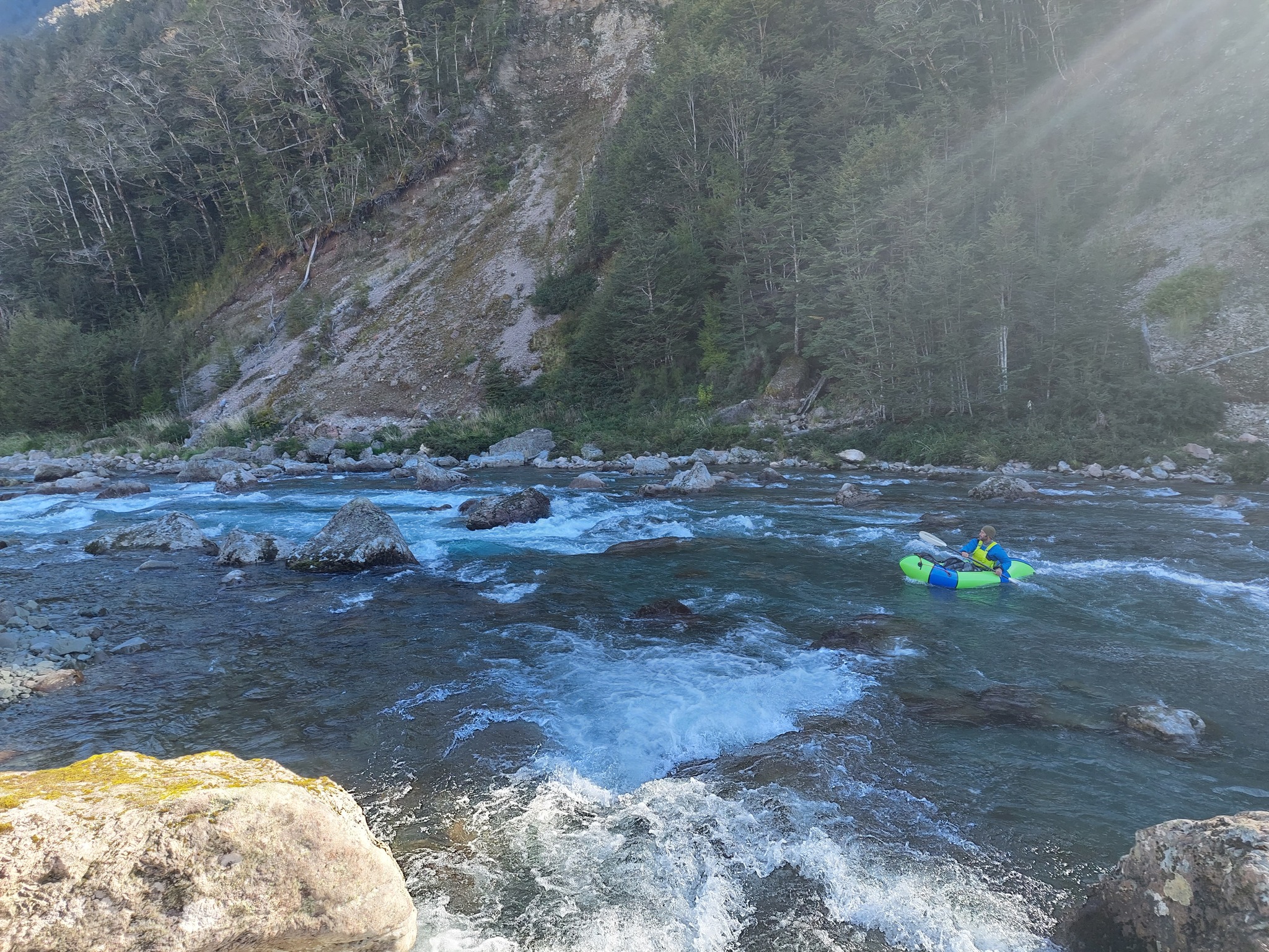
West Branch middle reaches (I/II) below Mistake Creek
From the confluence of Mistake Creek, the paddling is almost entirely grade I. There are still hazards such as logs, trees and rocks to avoid.
There is one grade II rapid, immediately above the confluence of the West and East Branches. Scout and portage on the left as required.
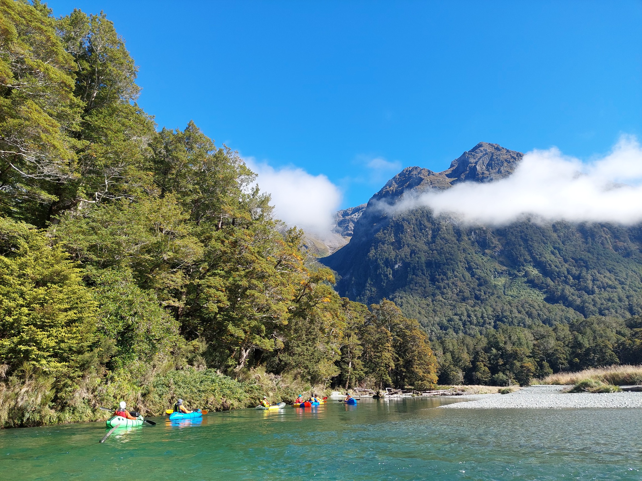
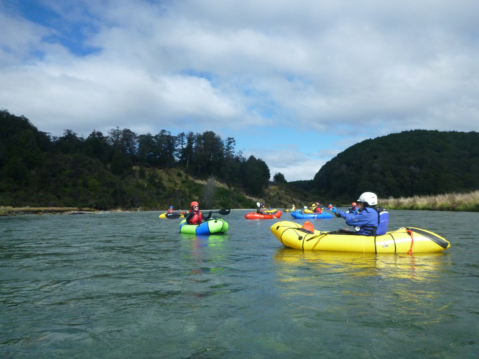
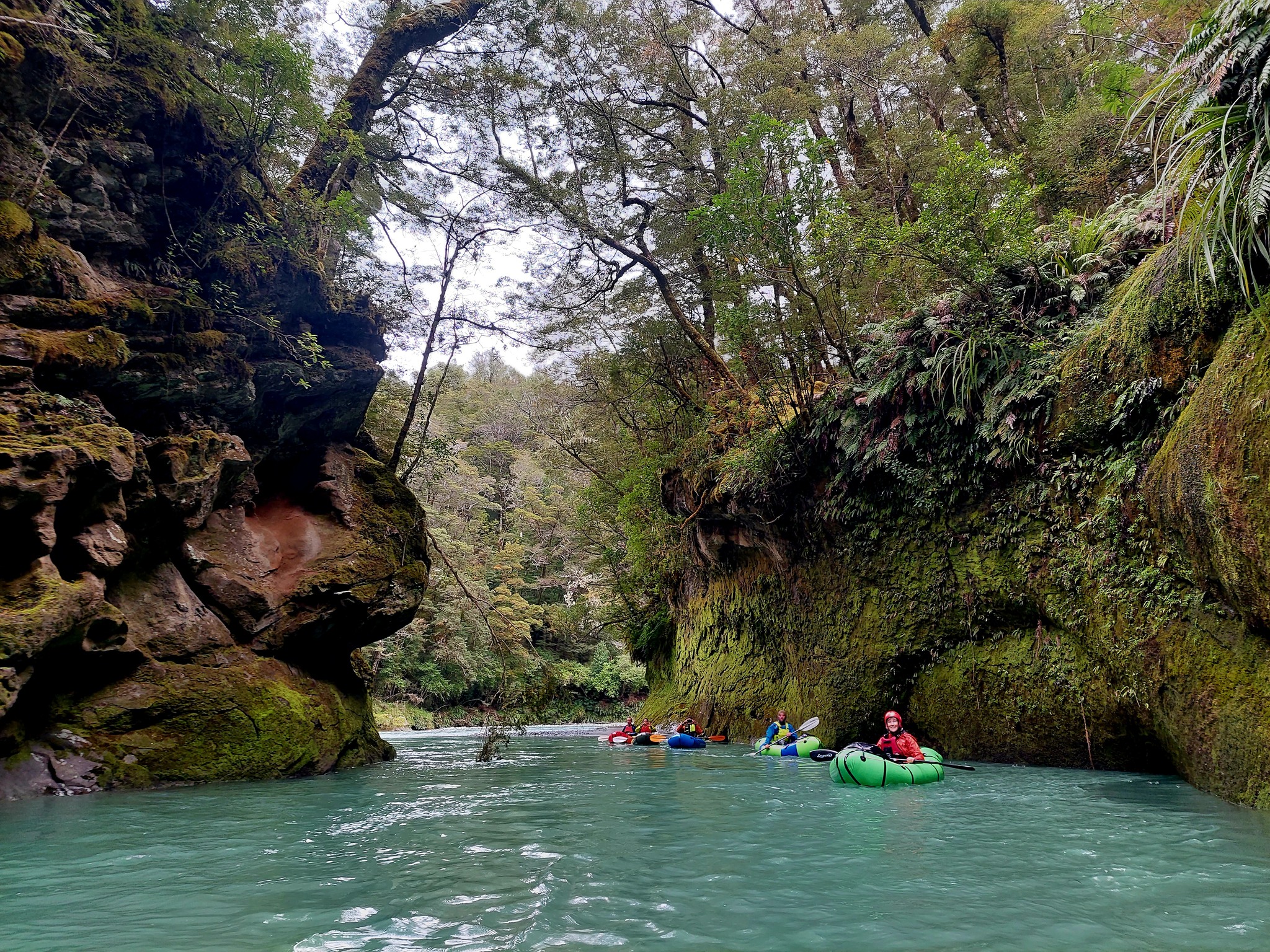
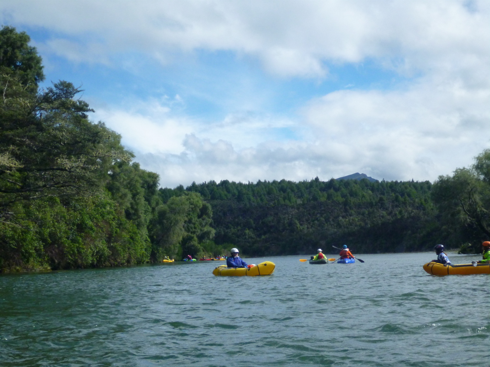
Eglinton river: East/West confluence to the limestone gorge (I)
From the confluence, it is grade I water. There are single channel sections, and braids, both with the occasional tree in the wave train rapids to remind you to keep vigilant.
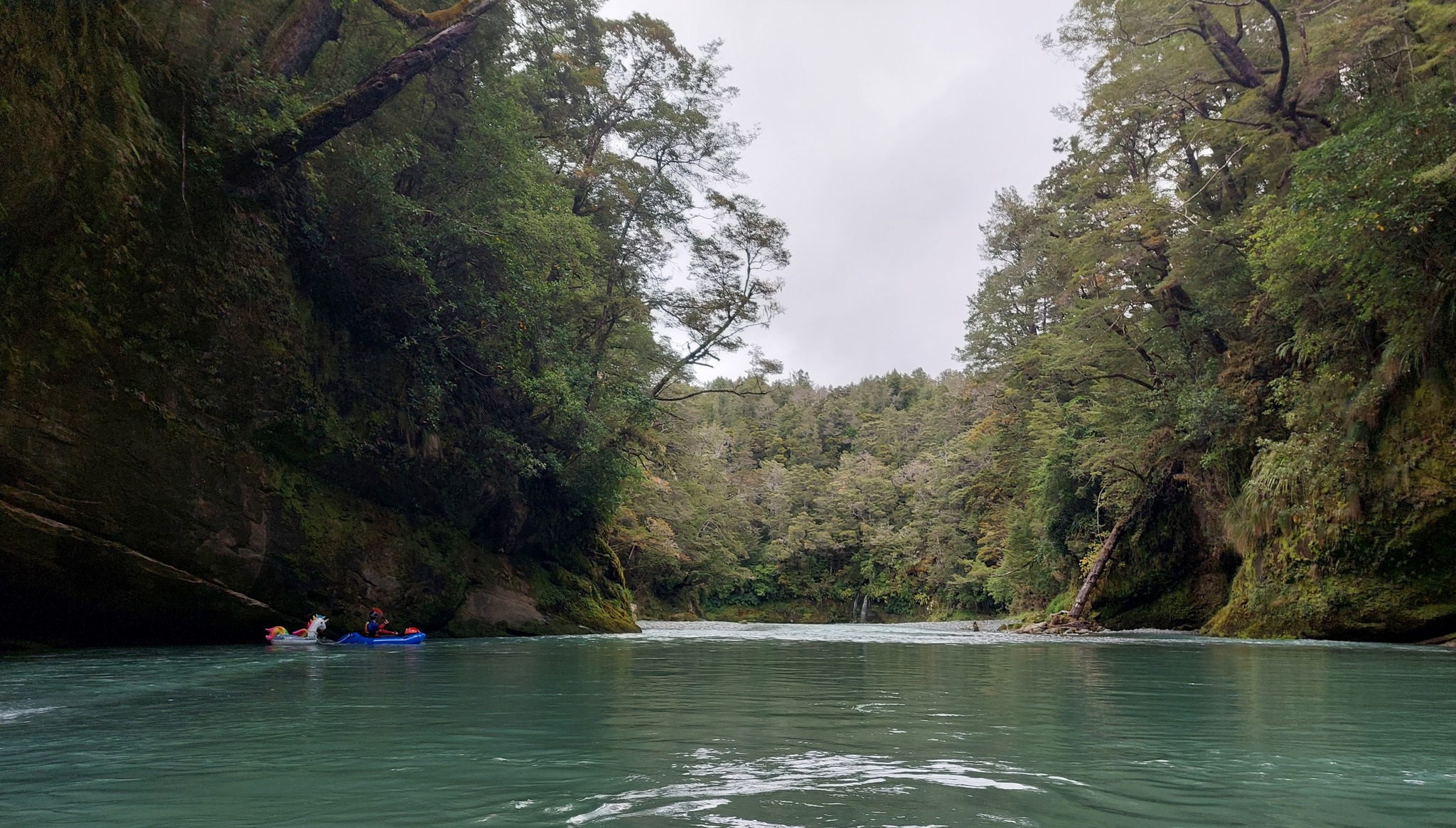
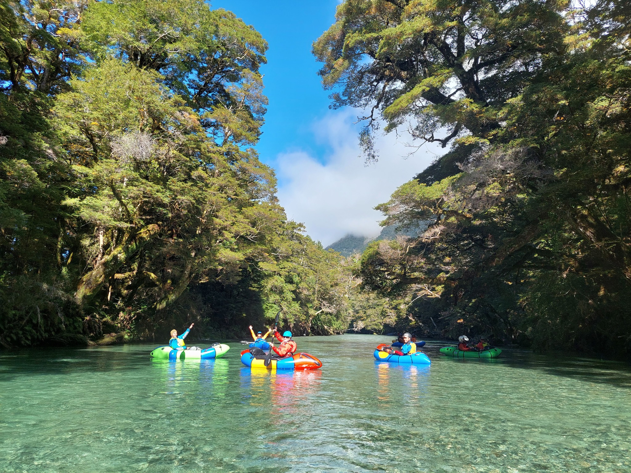
The limestone gorge (II)
Upon entering the gorge, the first (and only) rapid of any note is known as Flipper (II), for what it has been known to do to rookie packrafters, but is actually fairly straight-forward. Its basically a wave-train that goes straight into the gorge wall on the opposite side like a T junction. The gorge is spectacular, but it is quite short, so don’t be in a rush to paddle through!
On a warm sunny day, you could spend some time swimming and jumping in the gorge. It’s possibly to climb out onto the banks in a few spots and jump back in. It’s a truly spectacular location and you’ll feel like you are right out in the wilderness.
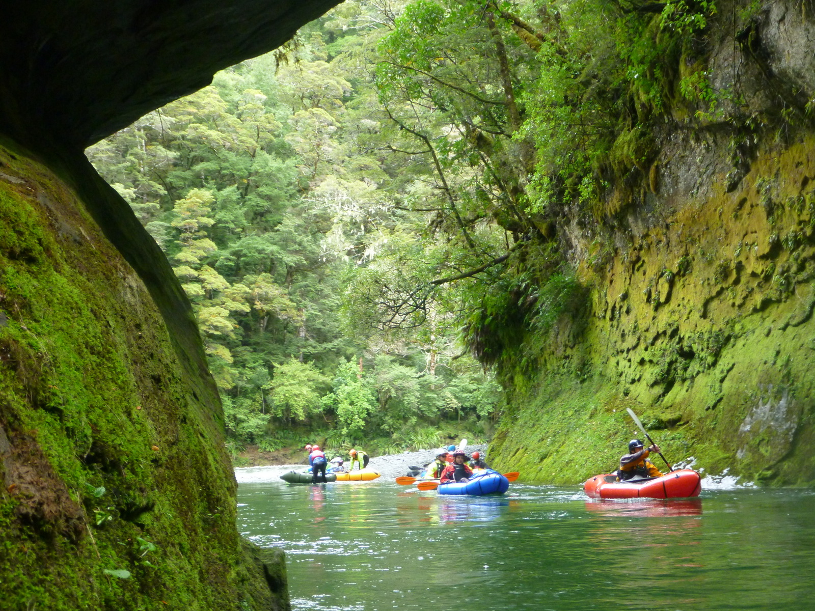
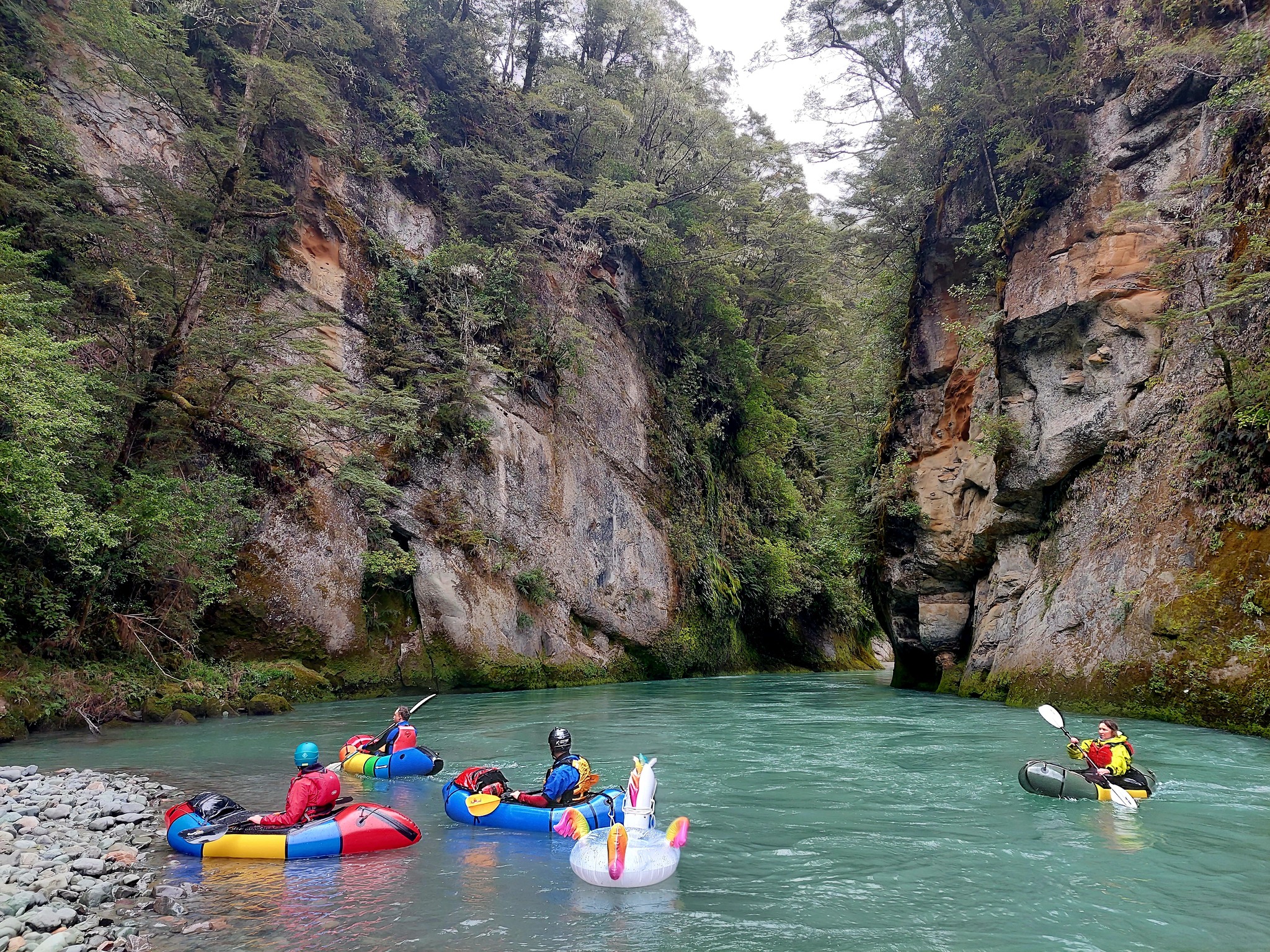
Remember to keep an eye out for trees, especially when the river turns around corners with limited visibility: there’s usually logs in the river somewhere!
Below the gorge (I)
The native bush recedes a little and the river widens out. Make sure you know where the farm track take out is if you plan to use it!! Below the farm track, there there’s no easy take outs until you reach Lake Te Anau.
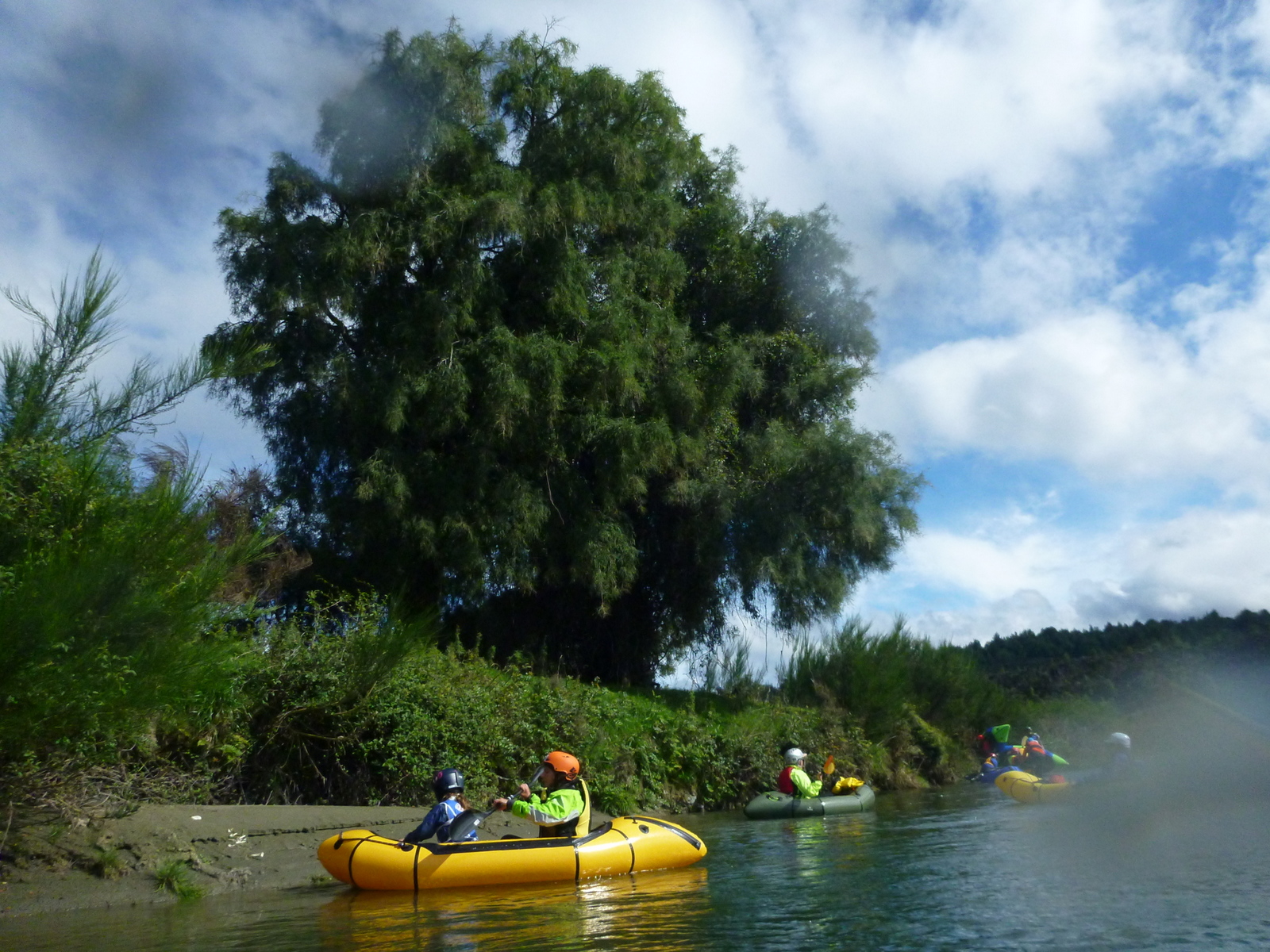
Below the farm track take out, the river again becomes braided and tends to have a few less trees lower down.
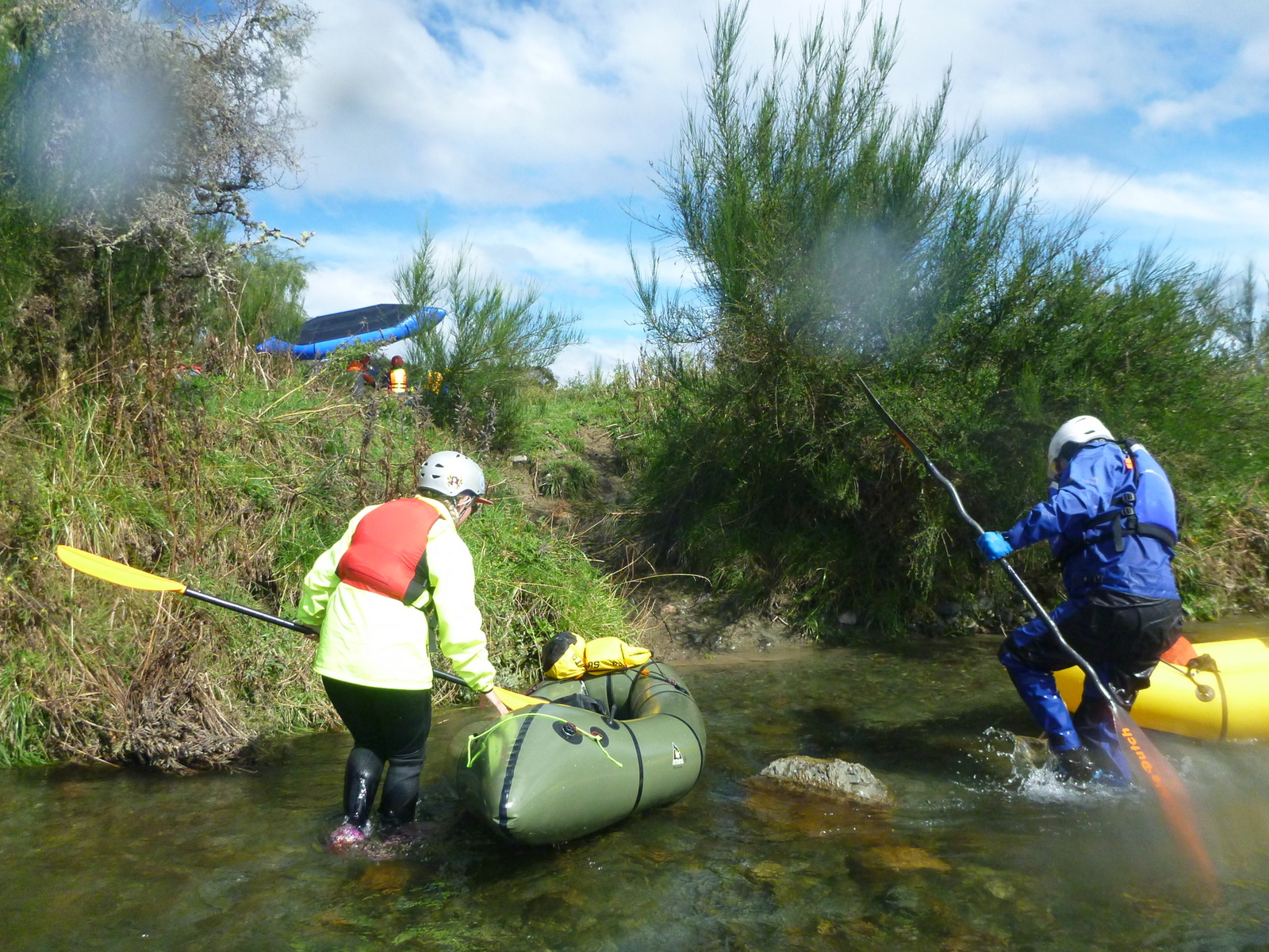
Leading into the big right-hand corner, the river becomes very braided (i.e. shallow) and may require some walking at low flow. Try and go right early to avoid the shallow section (and a willow tree that hangs over the far-left braid).
Gauge
Visual. If it has been dry for a while (more than a couple of days) you might expect some scraping and walking on the braided sections.