


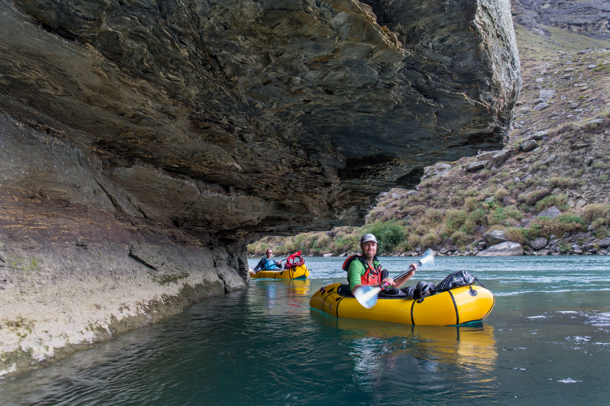
A relaxed float down one of NZ’s largest rivers, with impressive rocky cliffs and heritage sites on the return journey. We began our day trip from Alexandra, and returned by hiking up the Roxborough Gorge Trail, though there are other ways to incorporate a packraft into a trip in this area. You could hike or bike, in (or out) via the mountain bike trails at Butchers Gully, or even head further down to Lake Roxborough itself. Thanks to Lee Rowley for some of the photos.
Clutha River (I) Alexandra to Roxborough Gorge
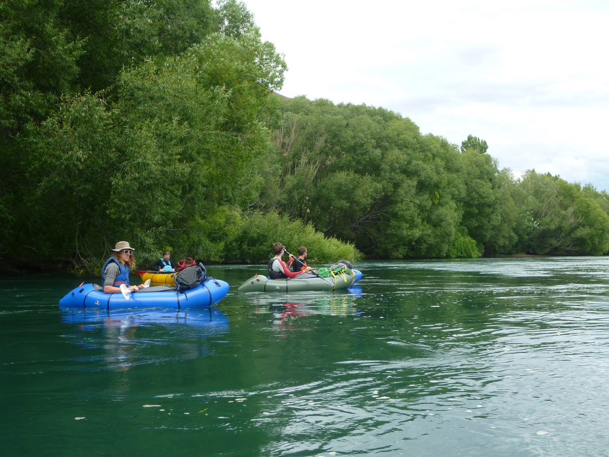
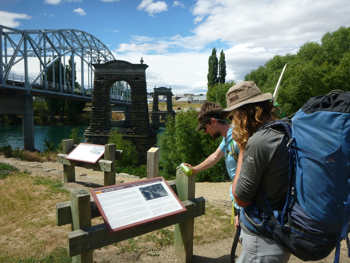
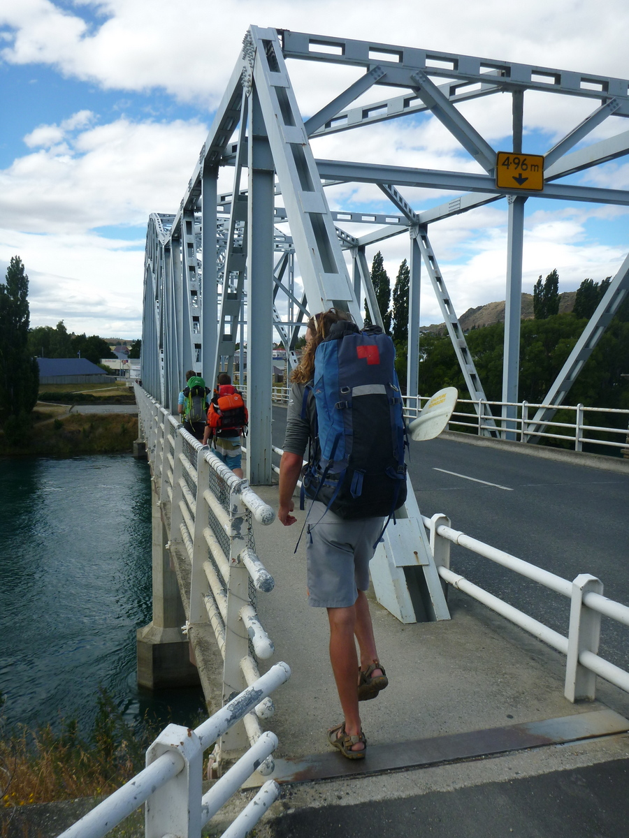
On our trip, we started in the car park on the upstream, river right side of the Alexandra bridge. Use the pedestrian access to cross the bridge to the river left, then walk upstream a few hundred meters to the boat jetty where you can easily access the water.
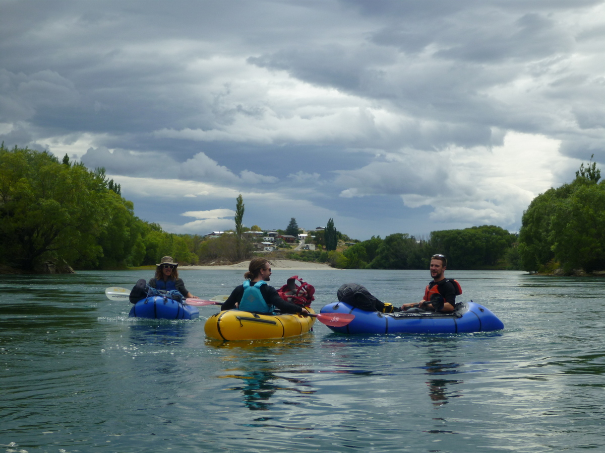
The Clutha still has a surprising amount of current here, even though you are essentially at the top of Lake Roxborough. There willows on the river banks to avoid, but generally the paddle is stress free. The river is relatively sheltered from most wind directions.
On our trip, we took a GPS to keep track of how far we’d come. With a bit of a breeze and the current, we were moving around 8km/hr without even paddling. It’d be easy to go past the end of the track if you weren’t careful!
Roxborough Gorge Trail
Currently the Trail ends at Doctors point, so this is the obvious take out for a day trip. The trail is very wide, benched and easy graded; perfect for beginner cyclists. We strolled back up this trail, which is pretty hot on a summers day to the carpark.
The Roxborough Gorge Trail is a purpose built track, one of the network of national cycle trails .
Upstream of this trail is the Alexandra to Clyde Cycle trail, and downstream is the Clutha Gold Trail. Though currently there is a 15km trail gap in the middle, the goal is for the Roxborough Gorge Trail to extend all the way from Alexandra to Lake Roxborough Village.
These cycle trails and (mostly) easily navigable waterways could link into a large bike/packrafting loop from Beaumont to Clyde and back!
Its worth noting that the Roxborough Gorge Trail isn’t marked on some Topo maps. An old track that is marked on the maps on the true left is an alternative option; starting at a DOC car park at Graveyard Gully, it’s a rough walking track. You’ll need to walk through town a little to complete the circuit.
Gauge
Upper Clutha Catchment.
The Clutha’s flow is controlled by the hydro dam upstream at Clyde. Although the flow fluctuates from 200-600 cumecs at Clyde, by Alexandra the flow appears to relatively constant.
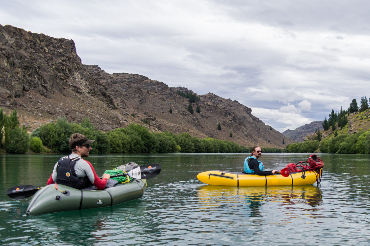
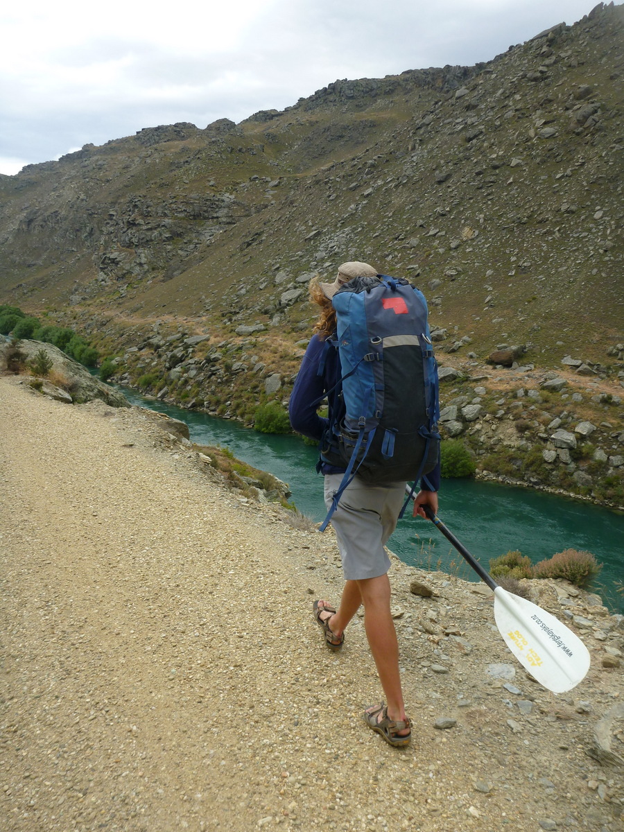
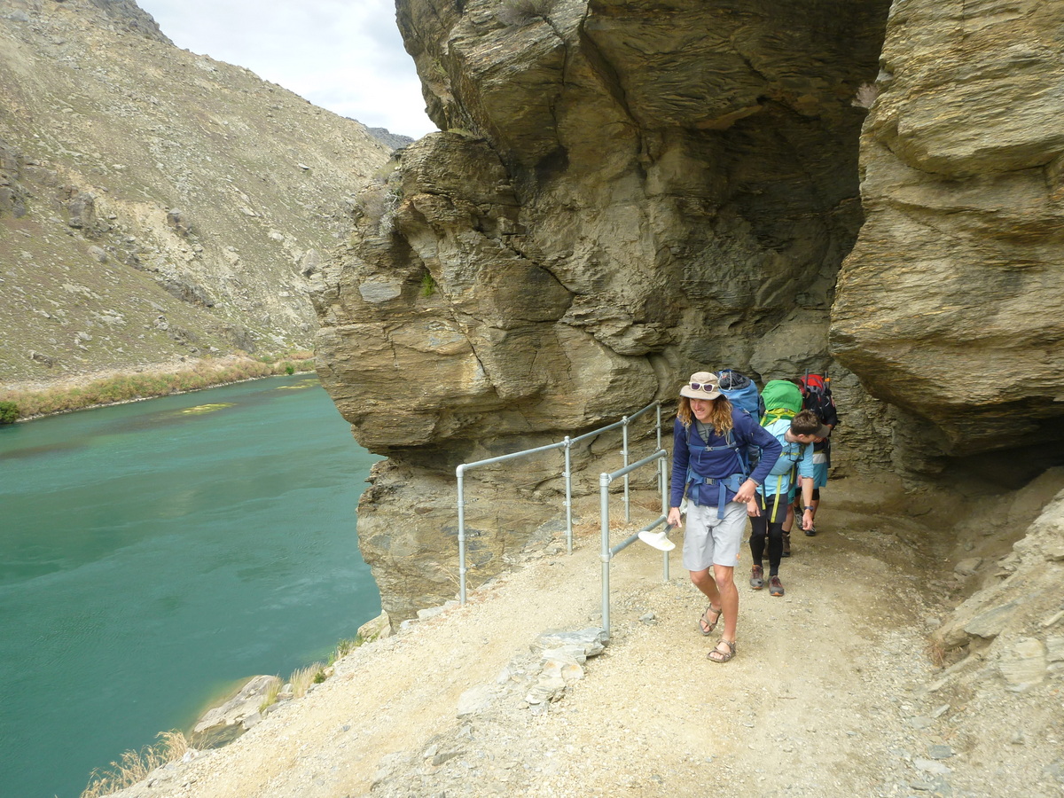
Check out the mining area at Doctors Point on the true left of the river. Some interesting tailings and tunnels. The walk back along the Lake Roxborough Walkway on the true left and more interesting hiking then the cycle route on the true right. But there is one section that gets narrow which might not be suitable for some people (but you can check this out from your boat 🙂 )
There is also a little hidden rock hut at the get out on the true right.
Hi, Thanks for posting a great beginners trip. Just wondering if the river continues as a low grade I/II all the way down to Lake Roxburgh Bridge? Or whether as indicated on the topo map, there is a track leading down to the waters edge just north of Tawhiti?