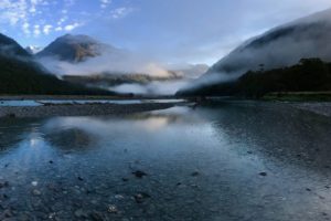
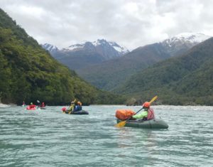
A relatively straight-forward out and back weekend trip to a beautiful braided river beneath Mt Hooker. Best after rain, or during the spring melt.
Logistics and (potential) shuttle
There are a couple of ways to start and end the trip.
No shuttle:
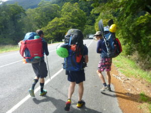
Park your vehicles on the southern side of Clarke Bluff, in the large obvious gravel area. There’s a simple scramble down to the true left of the Haast River, and you’ll almost certainly need to use your Packrafts to get across to the gravel flats.
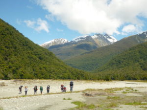
From there, you can make a bee-line towards Signal Ridge, to gain the 4WD track which leads you efficiently up-valley.
At the end of the trip, you’ll need to take out initially at the Haast/Landsborough confluence, and perhaps boat carry for a few minutes until you can ferry across to where your cars are. In low/normal flows, you can almost paddle up the Haast to the car park area.
10km Shuttle:
There’s a large, easy take out on the north side of Clarke Bluff, (true left of the Landsborough, just below the Haast confluence). There is a good vehicle track down to the river.
Leave a car here, then return to Pleasant Flat. Either leave a car here (lots of room and campers = more security) or a 4WD can go a ways down the marked track on the true right of the Haast. A capable 4WD can actually make it most of the way to the Landsborough/Clarke Confluence, but expect scratched paint from trees, some soft, muddy sections and a few rough side creek crossings… (Could be a useful tactic if you only wanted to visit the Clarke, but then it sorta misses the point of Packrafting…)
Pleasant Flat to Rough Creek
On the trip the author did, our group chose the shuttle option.
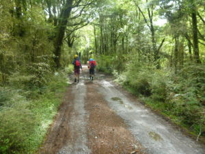
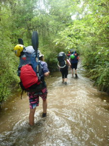
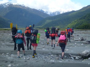
The marked track is a 4WD track, so is very easy to follow, apart from when it crosses side creeks… A little searching up and downstream might be required to re-find the track on the other side.
It took us about 2.5hrs from Pleasant Flat to the Landsborough/Clarke Confluence. The Landsborough is a mighty river, so its unlikely you’ll find a safe crossing on foot here… (If you can cross on foot, its probable that the Clarke will be too low to paddle). It was about 150m wide, running grey and very swift on our trip.
The curious might want to go check out the old musters hut marked as a wee square on maps, but the ground is quite boggy on the flats. The best travel is currently close to the edge of the river, on terraces or gravel flats.
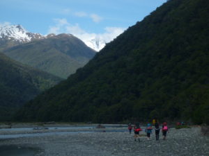
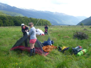
The braids are constantly shifting, but in November 2018, we made it to a pleasant camping site opposite Low Creek without having to do any bush-bashing. Great views of Mt Brewster and Mt Hooker from near there! About another 1-1.5hrs from the Clarke Confluence to the campsite by Low Creek.
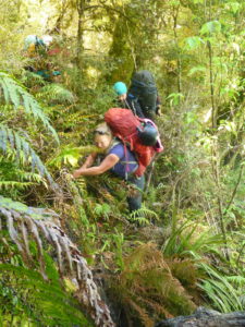
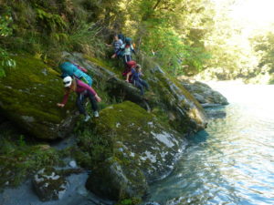
Further up the Clarke, you start to need to do a bit of travel through the moderately thick bush to progress where the river hugs the true left bank. There’s a tiny gorge which is obvious on the map, just above Rabbit Flat. If the Clarke is low enough, crossing on foot to the true right would make for easier travel. Its not too tricky to bypass on the true left, but it does require a bit of up and down and scrambling..
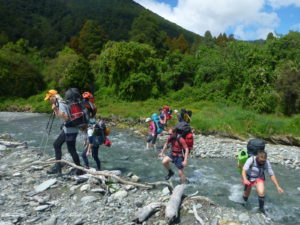
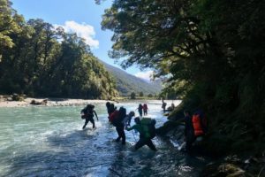
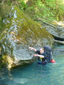
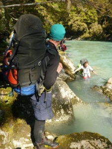
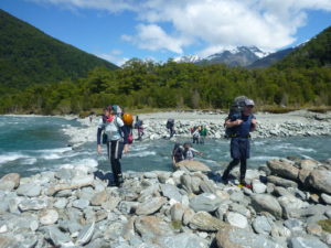
Beyond the tiny gorge, travel is much better on the true right. We forded the river here, which required good group fording technique, and continued up on flats and short sections of bush to Rough Creek. The keen ones might head up further to where the river gets steep, with some class III drops initially and then who knows what further into the gorge.. (probably class IV or more…)
Clarke River (I/II) Rough Creek to Landsborough Confluence
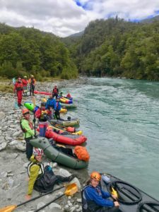
There are a few slighlly steeper wave trains and a small hole or two to begin with (class II) and the small gorge has a little class II enry rapid. Below here it is almost all class I floating, with a few wave trains that bob you about. The view is pretty awesome though….
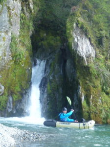
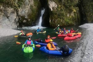
Its worth keeping a good lookout for where Birch Creek comes in. Purple Creek is obvious, but Birch is hard to spot unless you’re watching carefully. There’s a beautiful waterfall where the creek exits a canyon, pouring directly into the main river. Current maps show Birch to be below the Landsborough Confluence, but in Nov 2018, Birch Creek was actually 200m above the confluence.
Landsborough River (I/II) Clarke confluence to Clarke Bluff
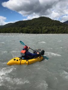
When the Landsborough comes in, the flow more than doubles, so expect some strong seams and boils which might tip out novices. The extra flow means the wave trains and boils have much more strength, so a bit of active paddling is needed to stay upright on these class II features.….
There are long sections of flat, calm water, with gentle, shallow braids. On good weather days in spring and summer, a strong up valley breeze builds up. This can get really unpleasant if the day is really hot/clear (lots of heat, = lots of thermals = stronger valley breeze) making paddling the flat sections arduous, or maybe even impossible.
The best tactic is to start paddling relatively early in the day. The breeze normally begins around lunchtime, and peaks around 4-5pm.
Depending on where you parked your car, take out on the true left. Its usually possible to see cars in both of the parking areas described from on the river.
Gauge
Haast River at Roaring Billy This site is a long way below the section described, but gives you a good idea of the amount of water around (and the rainfall!).
The level was about 2,250mm in the morning before we began the trip, which was the 2nd morning after a big storm had come through. There were one or two places higher in the Clarke where we had to get out and walk the braid at that flow.


