This is a scenic Class II run in a river that always has enough flow for a paddle. It is a great learners trip with eddies and play waves and an excellent camp ground at the take out. It feels more remote than it is due to the nature of the gorge. It’s best to take drinking water as the river drains farmland over this section.
Car Shuttle
The put in is at the Toe Toe Road bridge about 1km from SH1 a few km south of Utiku near Taihape. It is the first right hand turn at the bottom of the big hill when heading north. The take out is straight after the Mangaweka river bridge on Kawahatau road at the Mangaweka campground. It’s a little over a kilometre from the camp ground to SH1. Its a side road that gets a bit of traffic and hitching prospects are good. Mangaweka Adventure Company (based at Awastone just before the Mangaweka Camp Ground take-out) will do car shuttles for a small charge if organised in advance.
On the River
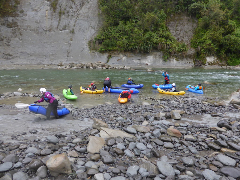
The trip starts with a couple of grade II rapids so it’s best to spend a bit of time on the calmer reach above the bridge if taking beginners.
There is one named rapid called the Virgin rapid which is a boulder garden.
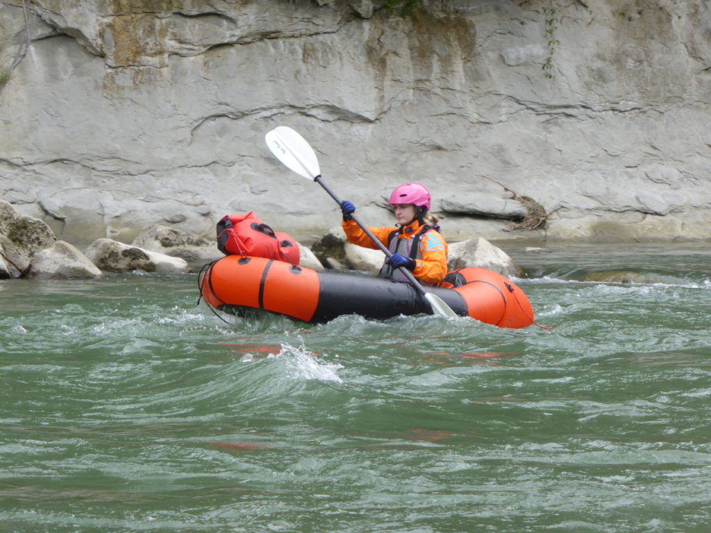
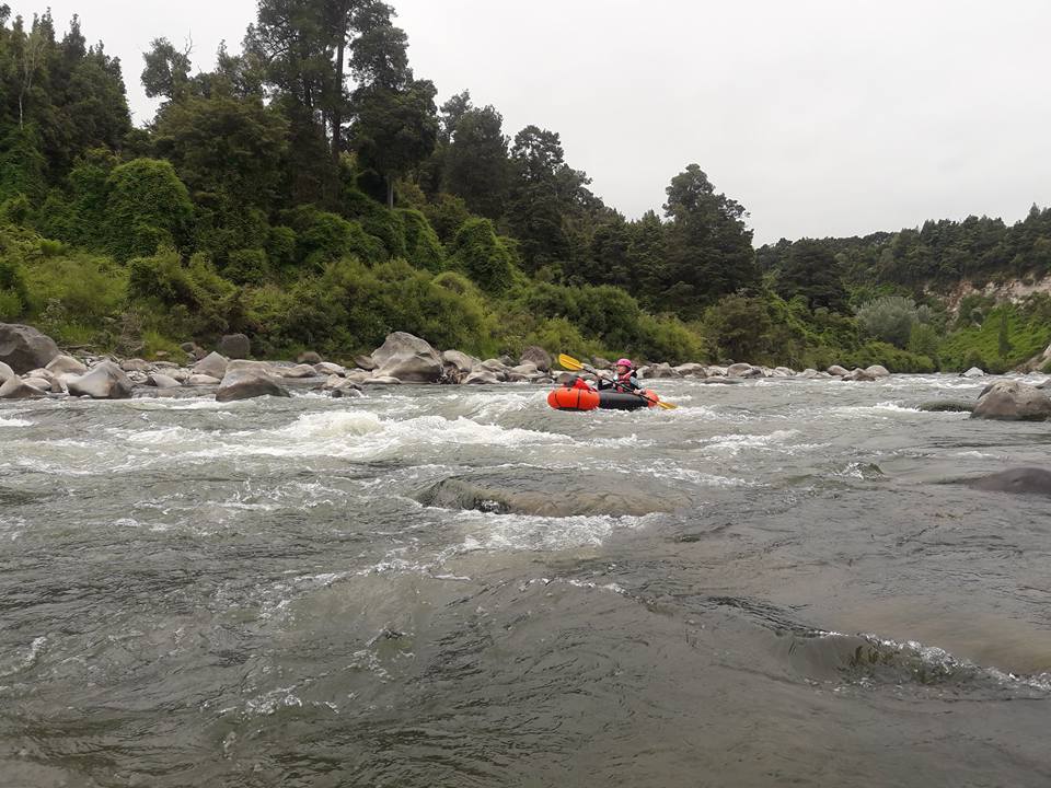
Take your time as there are some fun play waves, eddies and wave trains that make this a great learners run. There can be some tricky bluffs to contend with when the flow is up a bit. At low flows everything is easily boat scouted.
Rock-falls off the cliffs are an ever present danger so don’t spend a lot of time hugging the cliff face. Check the Walking Access website for reserve land for your lunch stop.
After two to three hours on the river the very obvious Mangaweka Camping Ground is the usual take-out. It’s worth taking the extra hour to the next take-out at Mangarere Bridge. The Mangarere take-out is where the cliff finishes 100m downstream of the bridge. Walk across the paddock to the gate by the bridge.
If you are thinking of continuing downstream, take a look at the full Rangitikei Canyon (II/II+) page which details the paddling from River Valley Lodge down to Vinegar Hill.
Escape Routes
Cell phone coverage is present near the put in and take-out but not necessarily in the river valley. The valley sides are mostly spectacular vertical canyon walls but there are numerous locations where exit would be possible in an emergency. True left is best option.
River Gauge
Horizons MW Regional Council has a website with gauges and river cams. The relevant gauge is Rangitikei at Mangaweka.
The river is very large and rain in the distant headwaters can affect flows. The gauge and webcam at Pukeokahu is a good guide to what the lower river will be doing later in the day. Perhaps with a 6 hour delay. Note that the Kauwhatau is one of two major Ruahine tributaries below this gauge and they can flood independent of the main river headwaters.
Below 20m3 at Mangaweka the river will get a bit boney on shingle bars. The river can be paddled at high flows but numerous wall rapids where flow hits perpindicular to papa cliff faces will become difficult. Best packraft flows are 25m3 up to 50m3.
The crew at Awastone/ (formerly Mangaweka Adventure Company) are very helpful.
http://www.horizons.govt.nz/environment-data
http://www.horizons.govt.nz/flood-emergency-management/web-cams-map