


A south-westland out and return, with a bit of off-track travel and routefinding to spend the night at the recently restored Tunnel Creek Hut. Depending on your skills and the flows, either start with some solid grade III+ paddling or walk downstream to put on a little lower for a cruisy, fun paddle.
Needs a bit of rain to be runnable, so wait for a weekend with a wet Saturday and dry Sunday!
View Larger Topographic Map
Approach
- Highway to confluence 2.5hrs
- Confluence to Tunnel Creek Hut 3.5hrs
The land from the highway bridge to the Otoko/Paringa Forks is private farmland, and permission is required. Ben Monks is the farmer, and can be contacted on 03 751 0899. Do all the usual things like asking nicely, avoiding stock, leave your dog at home, leave gates as you found them and say thank you…
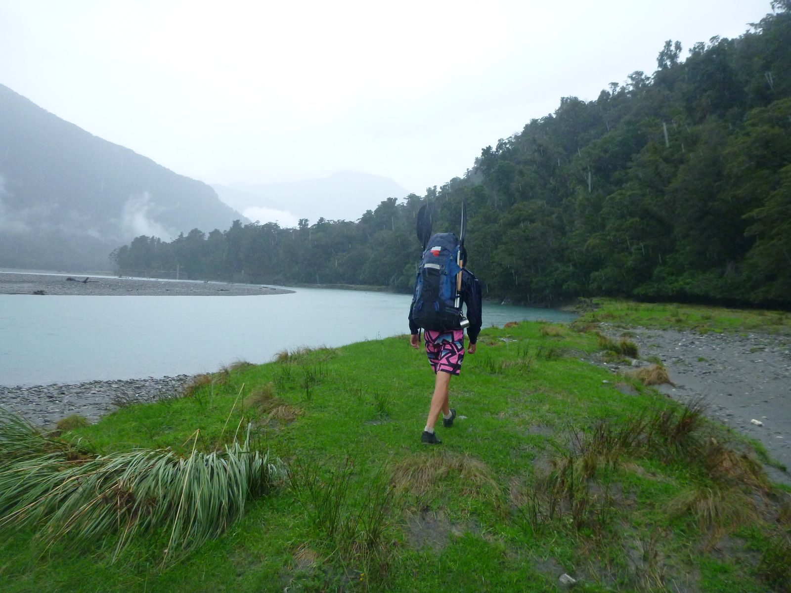
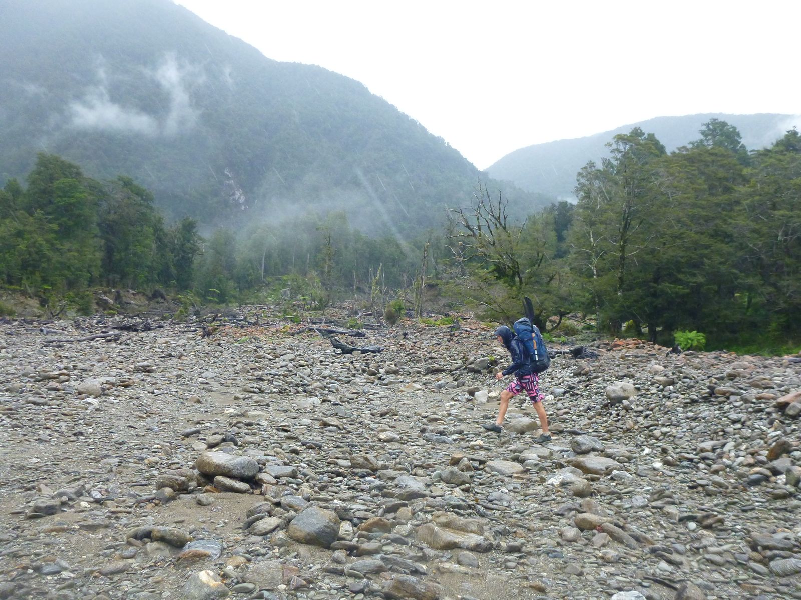
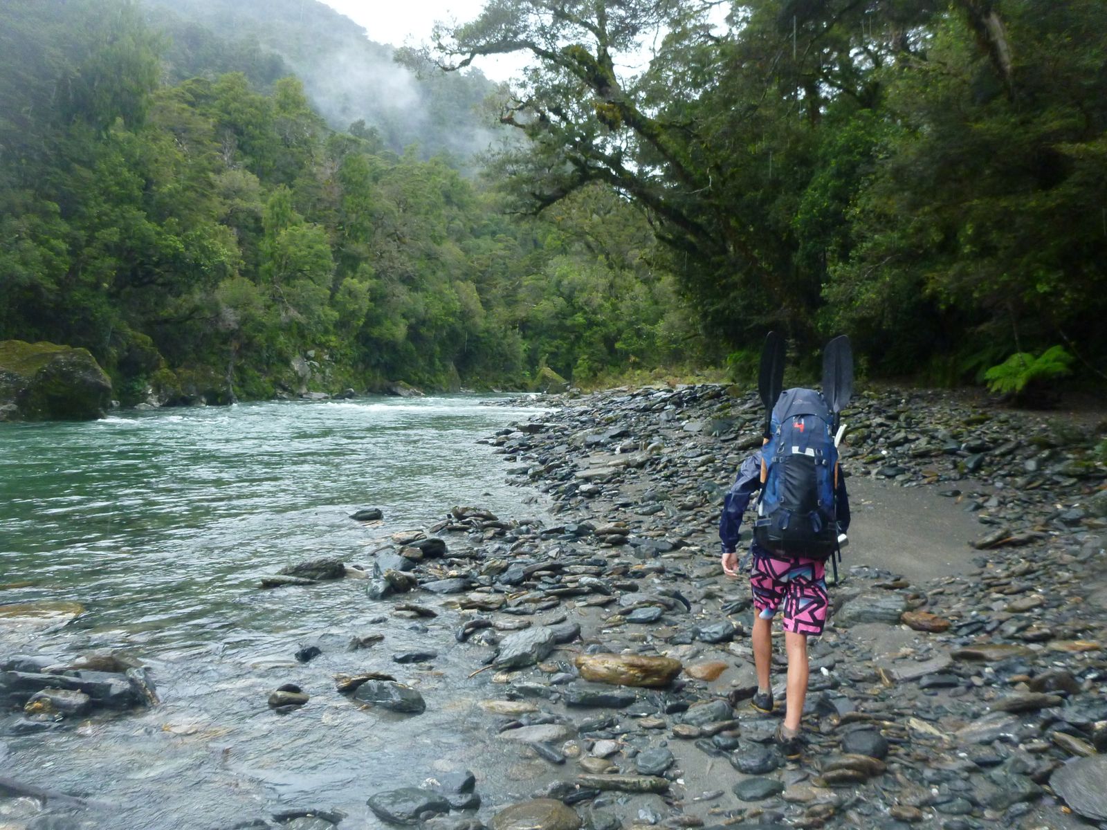
In dry summer flows the lower Paringa is easily crossed: too boney for packrafting, so the idea forecast is a bit of rain the day before (making for a soggy walk in, but the stay in the cosy hut makes up for it!)
When the river is up, start on the true left and follow a 4WD road until it peters out. From there, choose your own route through the bush when the river cuts in close, and along the banks when it snakes away. There’s a reasonable balance of easy and pleasant flats travel and moderate bush bashing along the way.
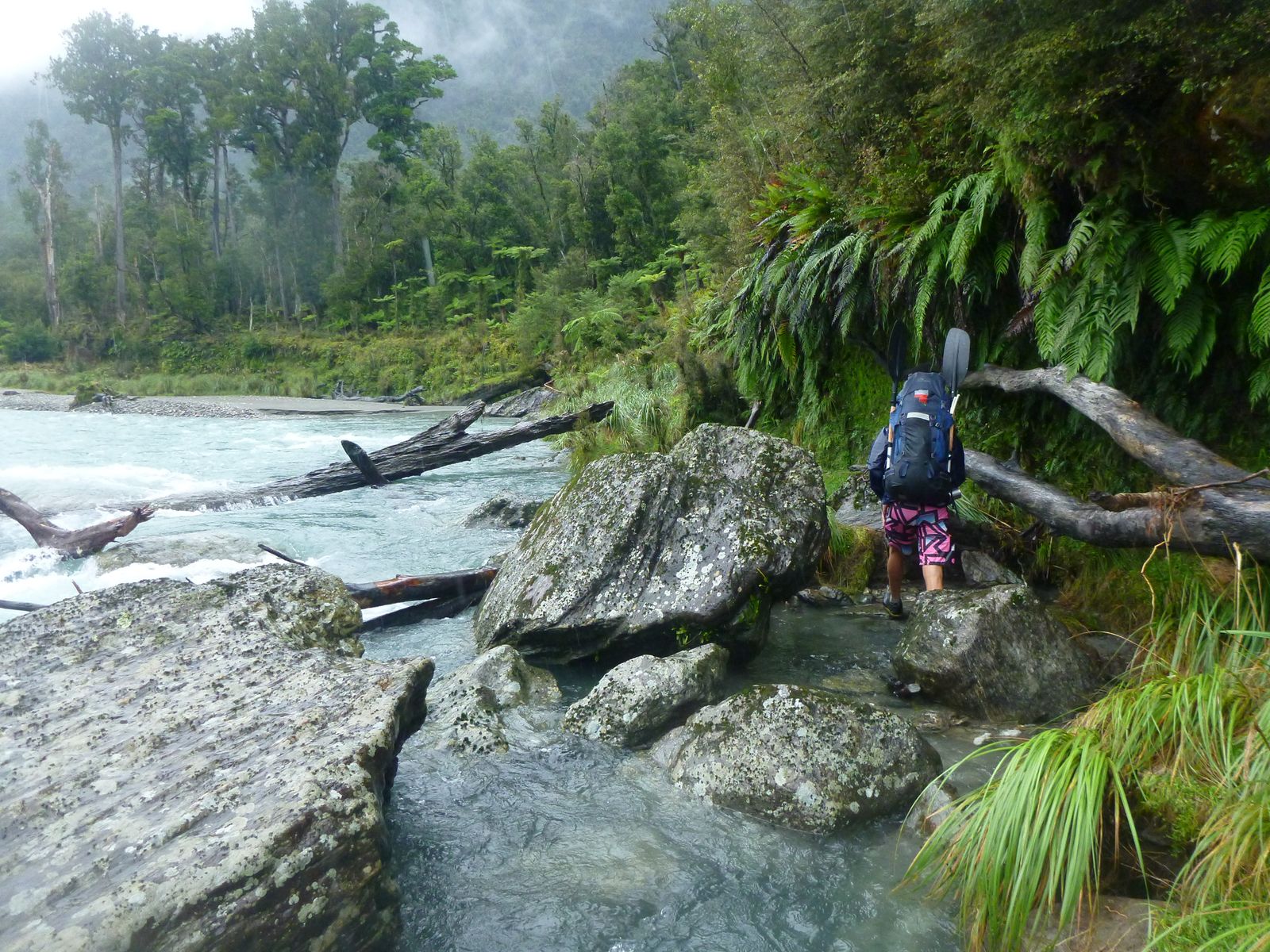
There’s a wee bluff right where Stew Creek enters the Paringa. Orange tape marked a route up and over and down to a place where you can access the river and choose your crossing point. Condon’s Hut is visible on the far side.
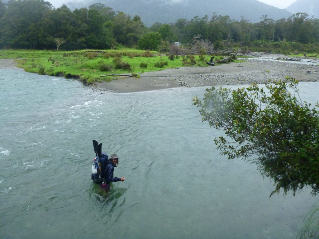
Condons Hut is marked on the map (but not labelled). It is locked and requires permission to use it, but there’s enough of a woodshed roof that you can escape the rain for a bit of lunch or to layer up.
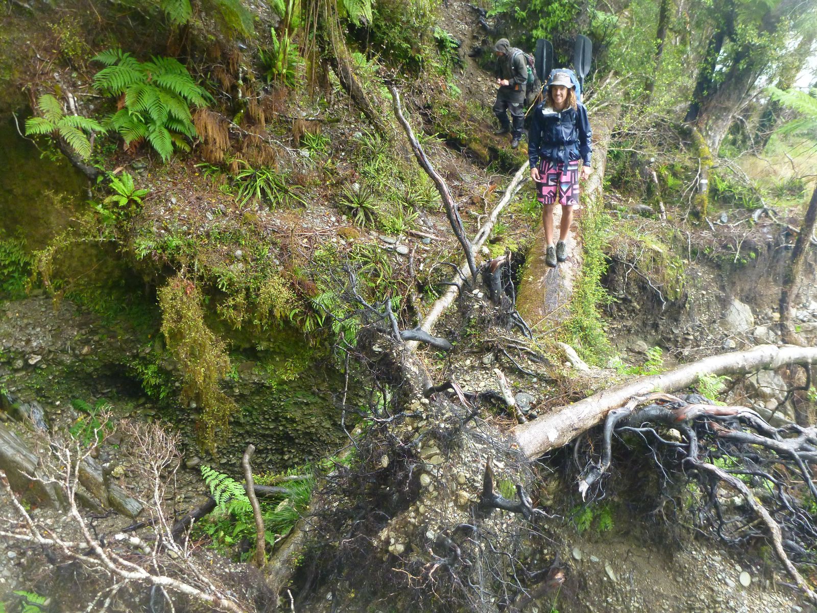
The track shown on the topo maps from here to Tunnel Creek hut is not an official DOC track: you’ll find taped markers rather than orange triangles.
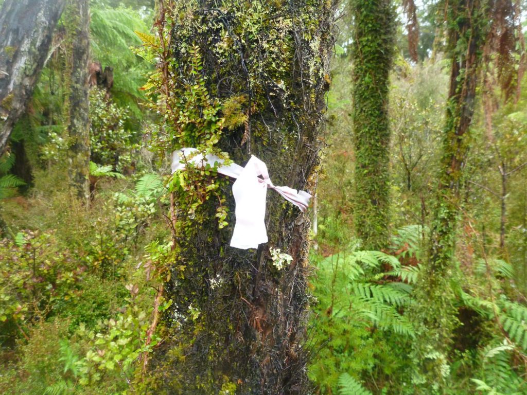
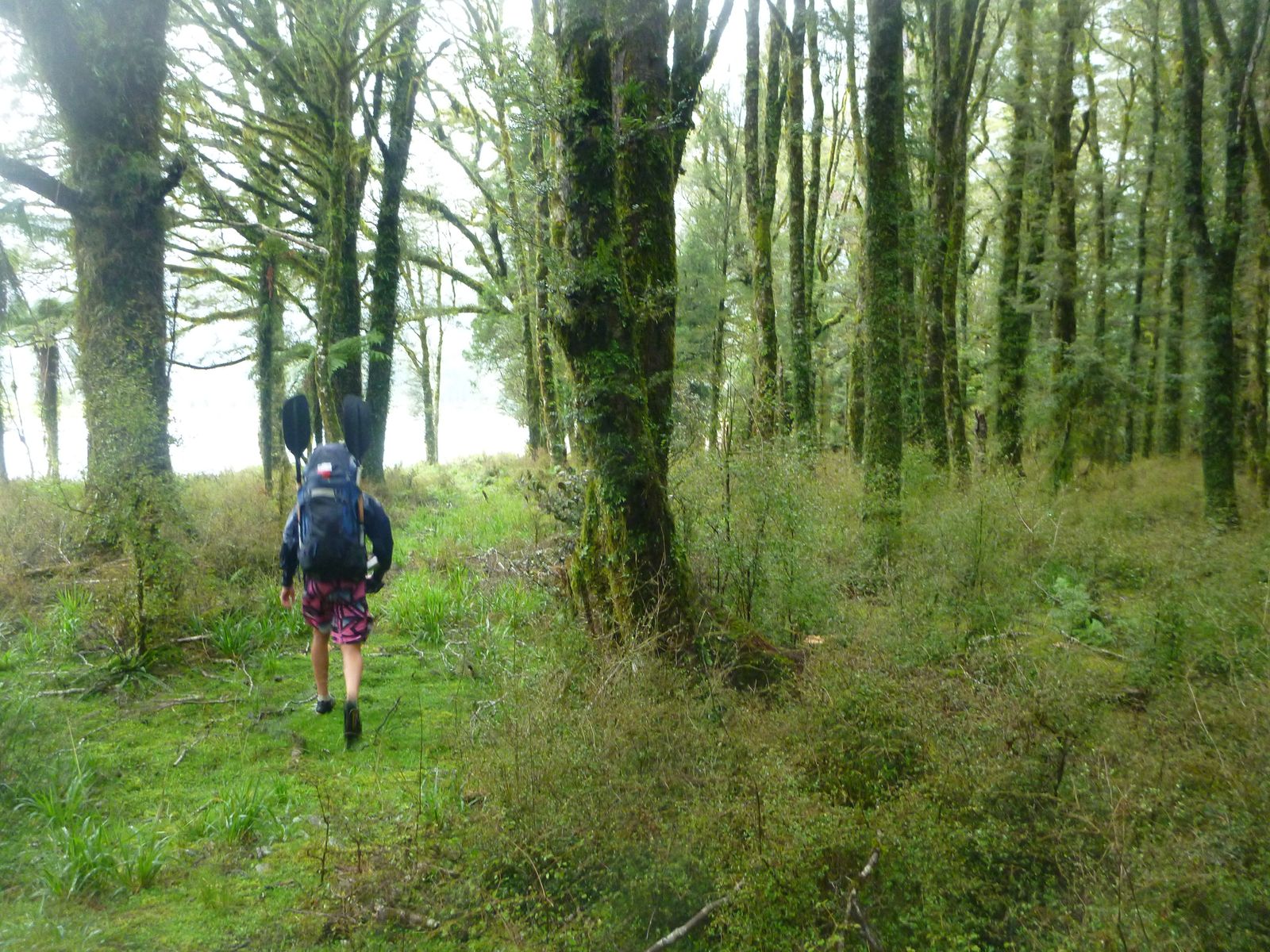
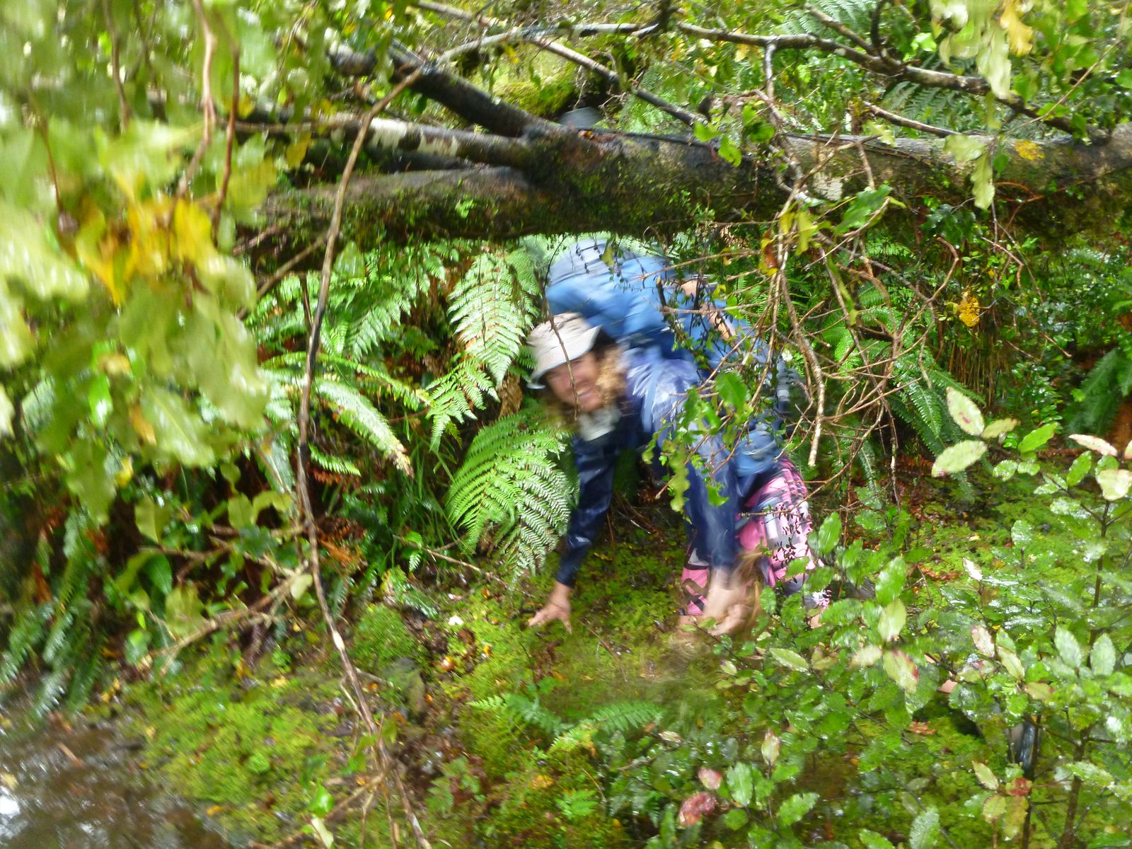
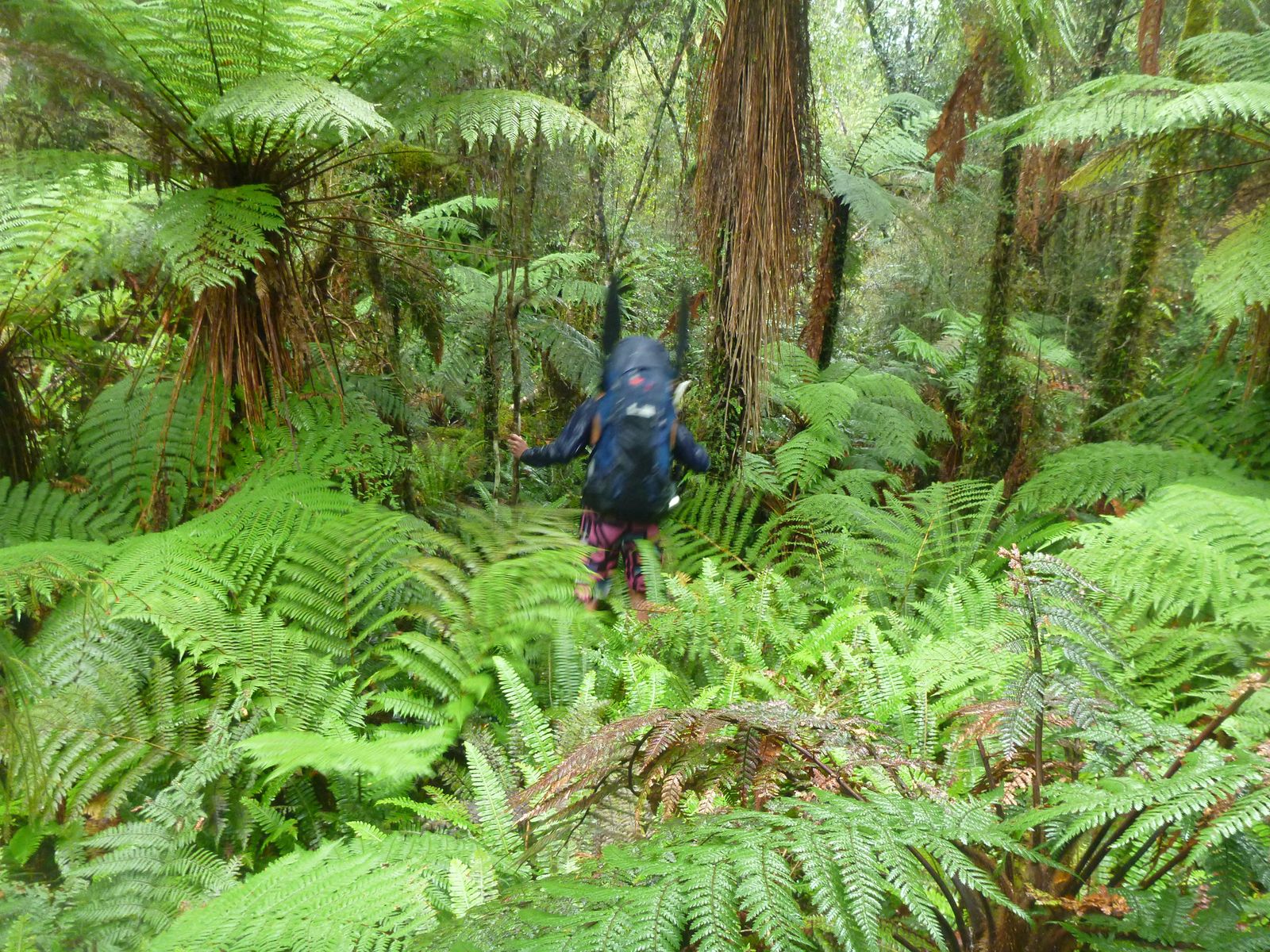
The going is a little slower overall from here on in. The markers follow old cattle tracks up valley and heads into the beautiful forest. The track is cut, but in places, you’ll need to be observant to stay on the track: if you miss a marker, its worth the time to make sure you’re on route again.
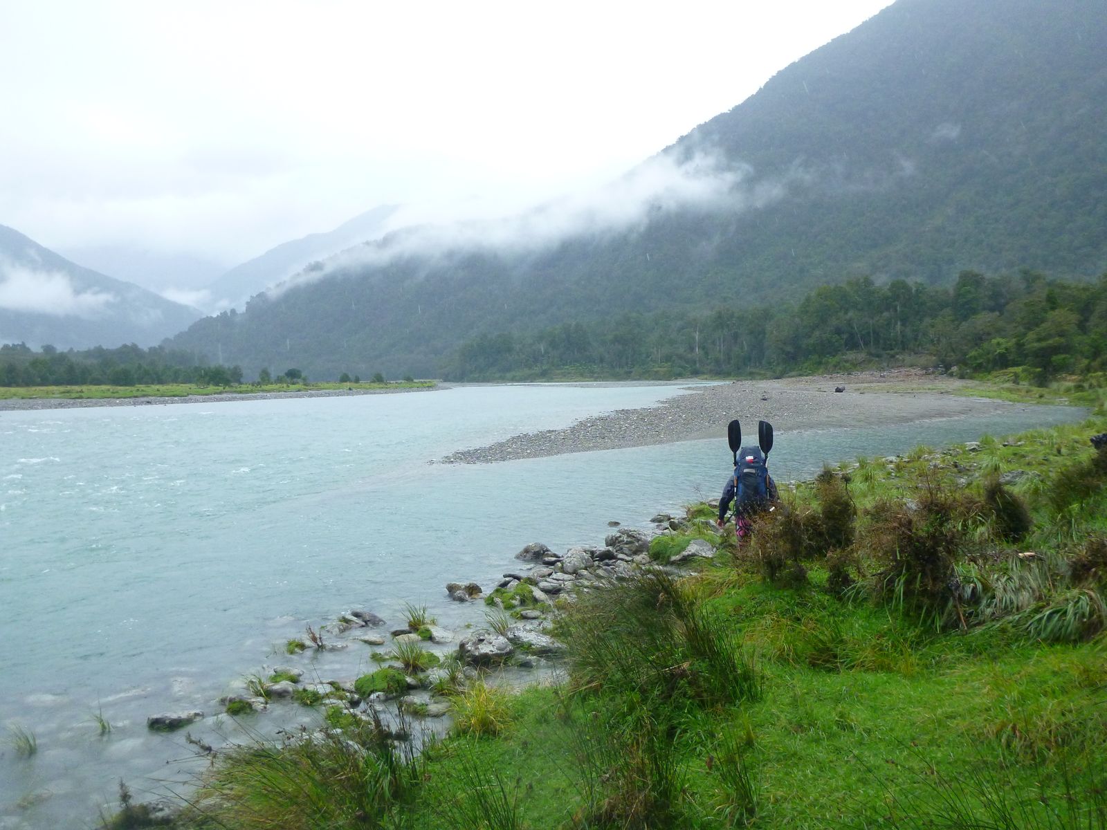
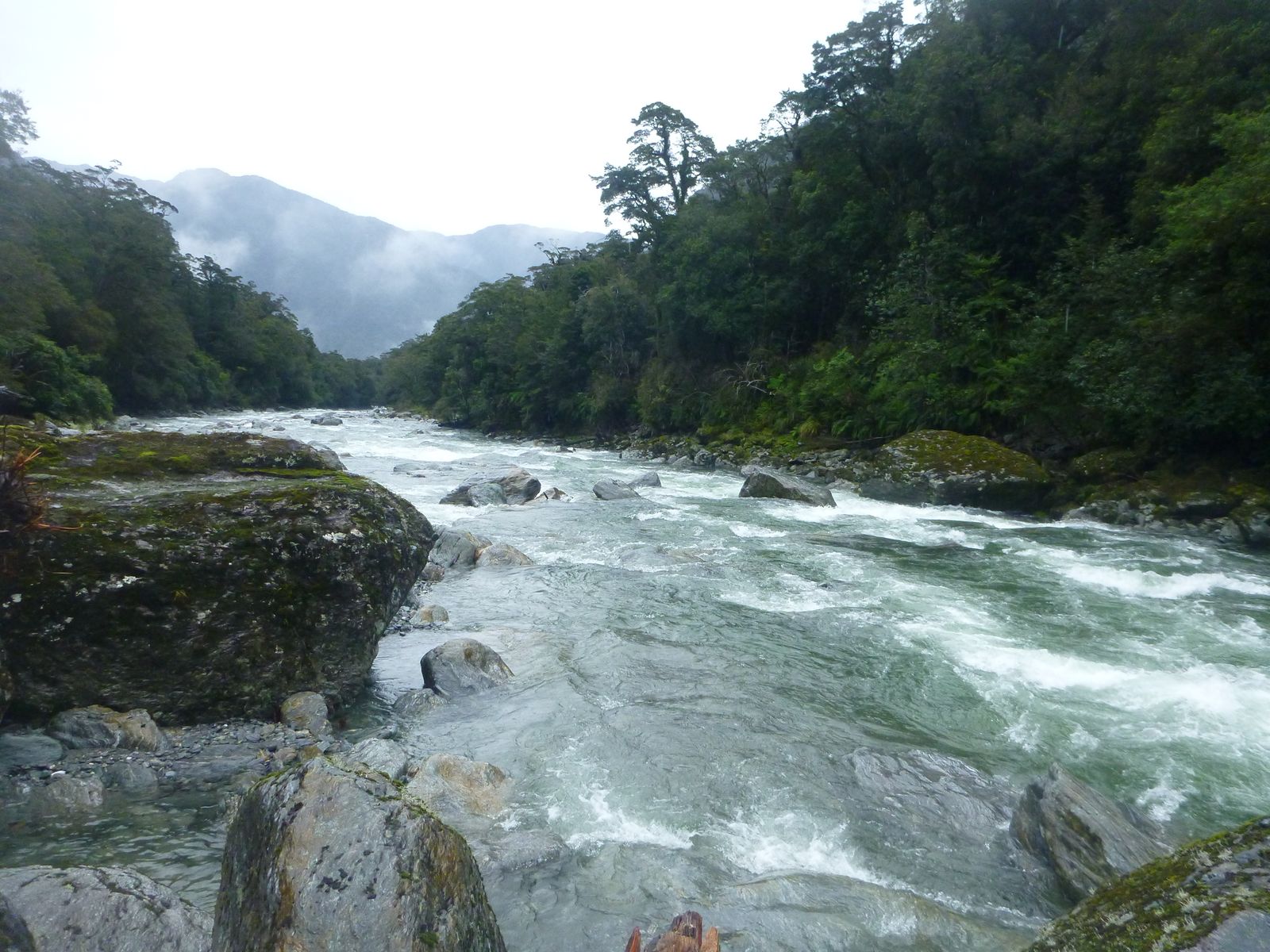
The route returns to the river, so you can see the paddling quite a bit as you head up valley. About 2hrs from the Otoko/Paringa Confluence there’s an obvious grade IV/V drop with a truck-sized boulder in the center.
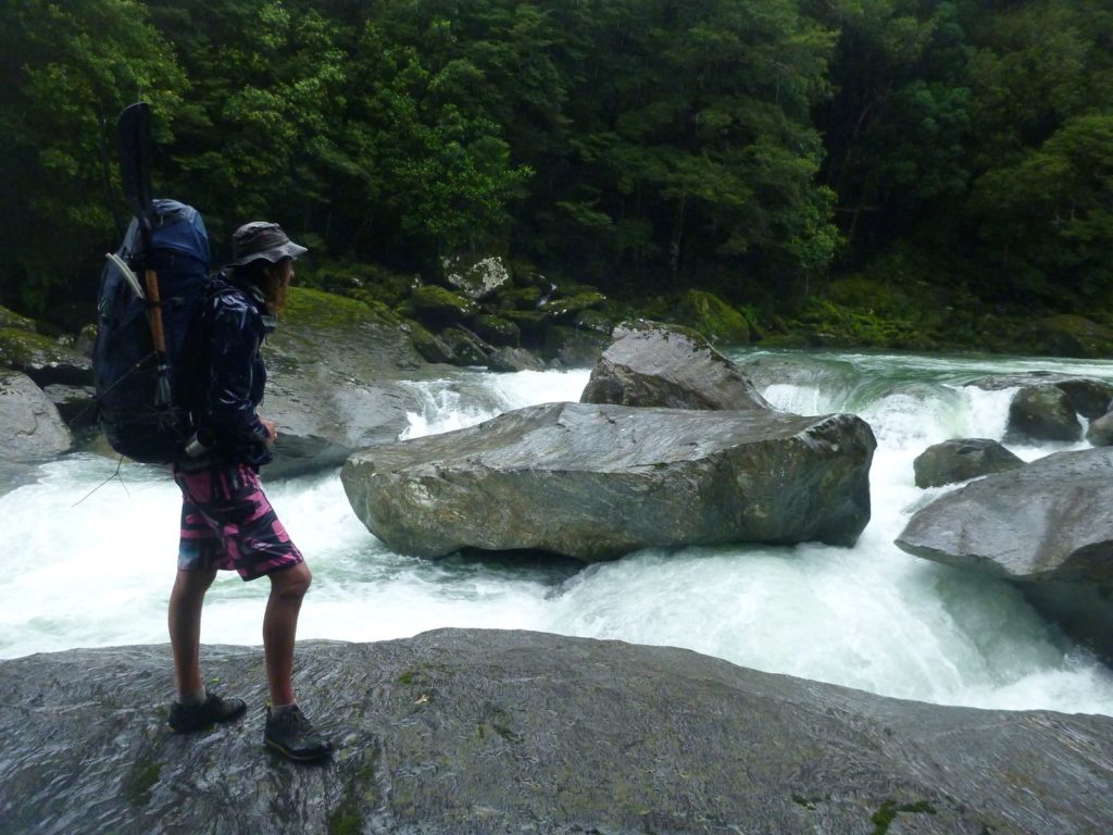
If you’re planning to paddle the upper section, make sure you note where and how to portage this bit as you continue hiking up.
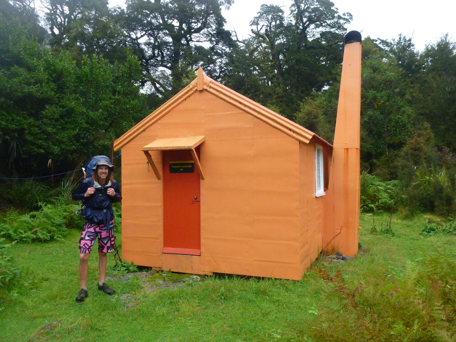
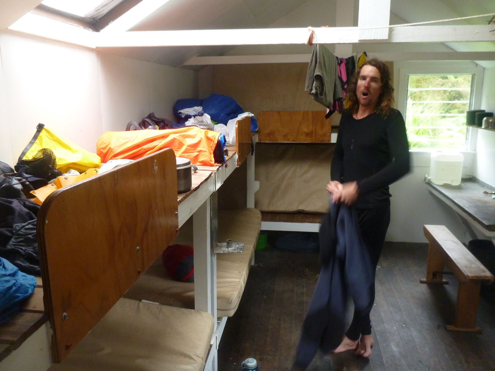
The recently restored Tunnel Creek Hut (6 bunks) is a fantastic shelter from the storm, in a scenic spot, and with a great fire.
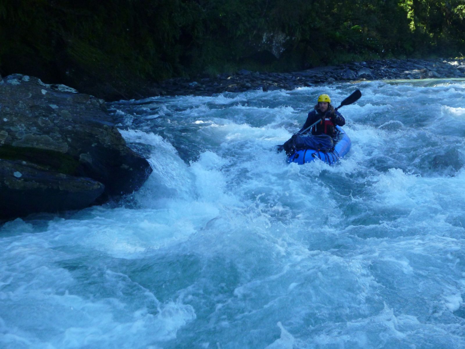
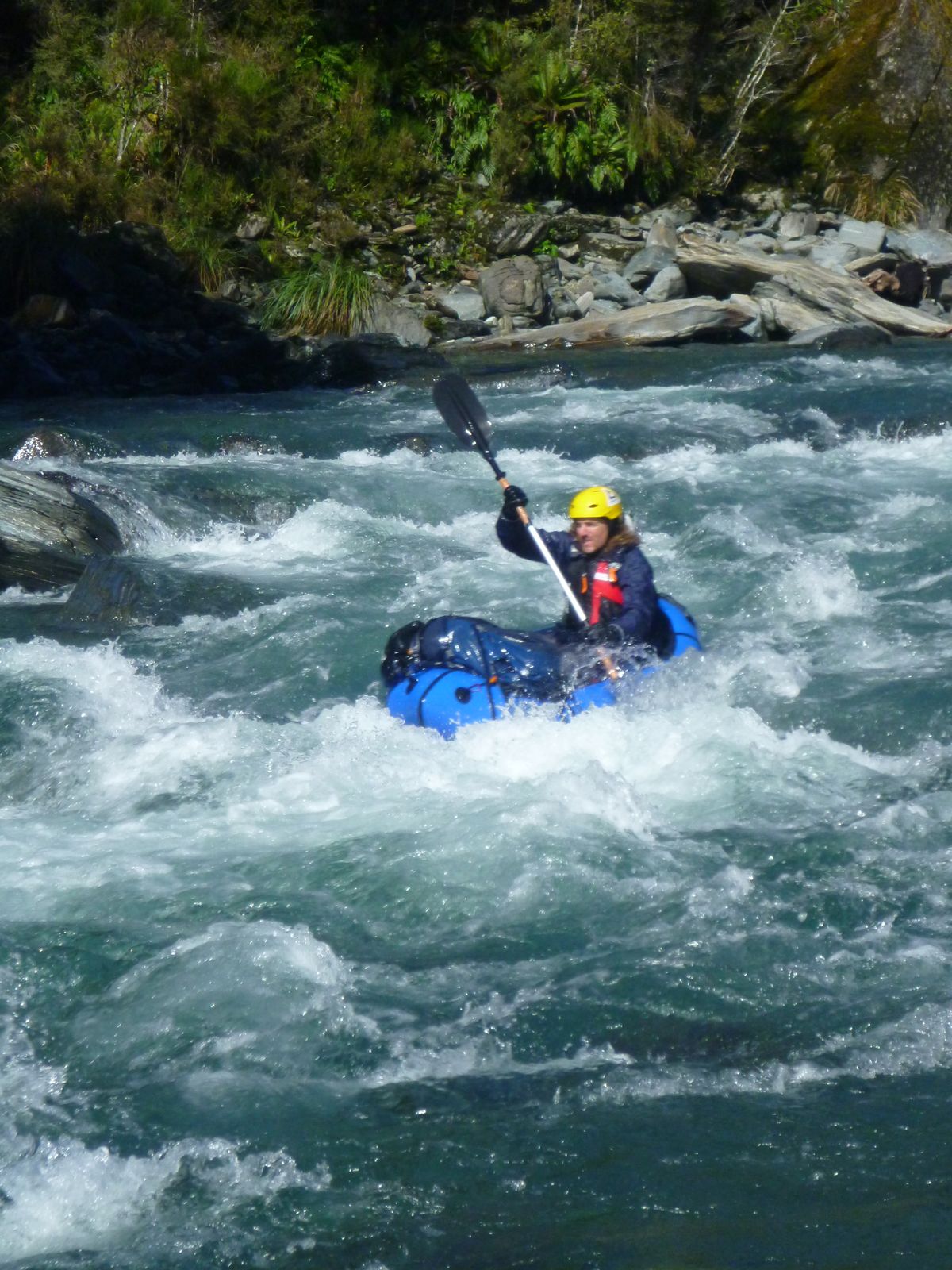
Paringa river (III+) Tunnel Creek Hut to the big drop portage
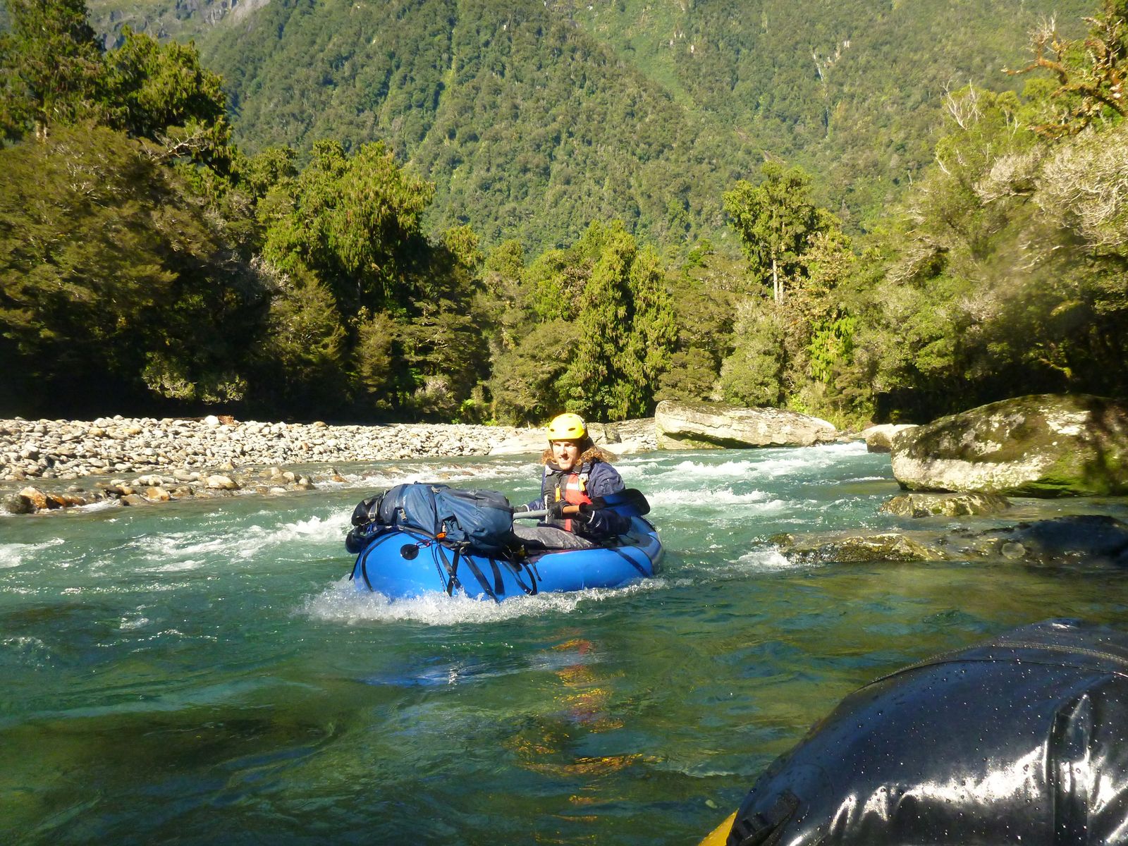
As you’ll have seen on the way up, this section needs a bit of rain to be runnable. Its flat water for about 700m below the hut, then things steepen into tight III+ boulder gardens with a few flat sections in between.
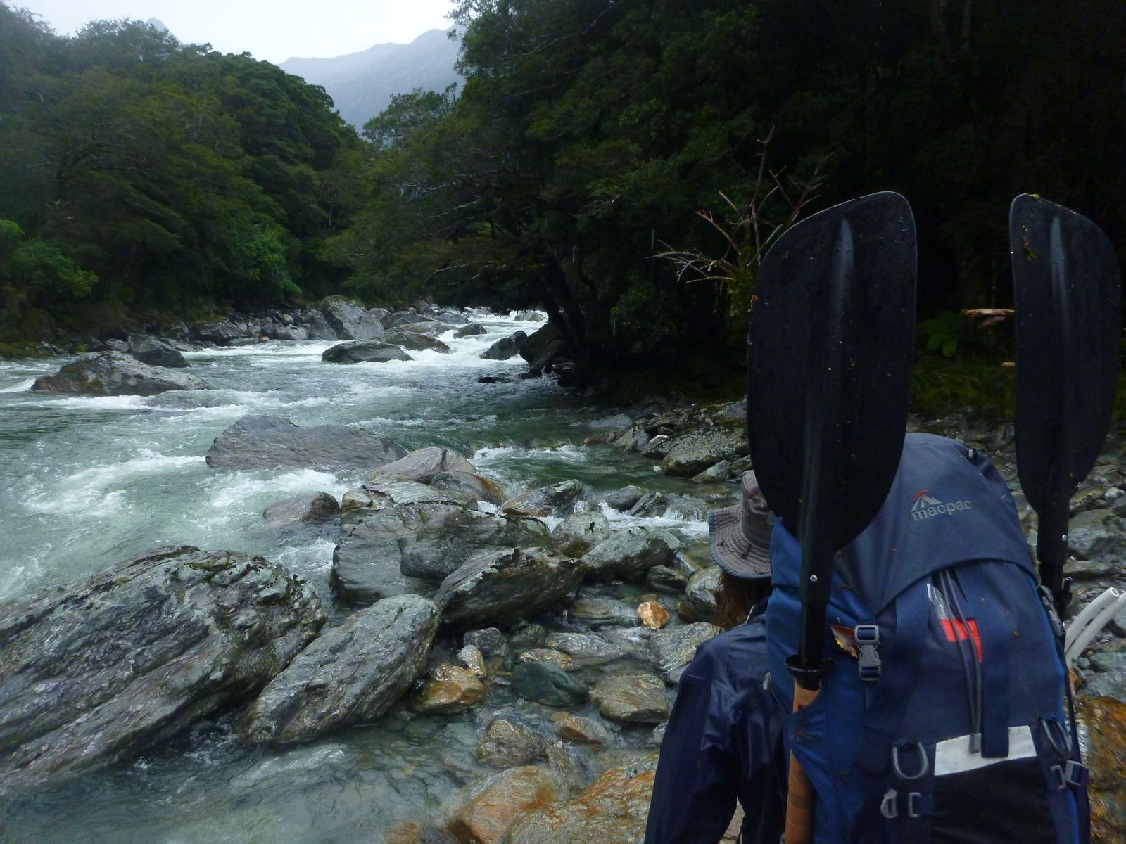
Make sure you remember the big drop portage take out from the previous day’s hike in! The big drop is a short sharp gradient change with a huge boulder in the center; IV/V depending on how big the storm was to make it paddleable.
Below the big drop, it returns briefly to III boulder gardens, before the gradient eases noticeably.
Paringa River (II) to the flats
From here to the confluence there are pleasant grade II rapids, with plenty of bit of flatwater in between.
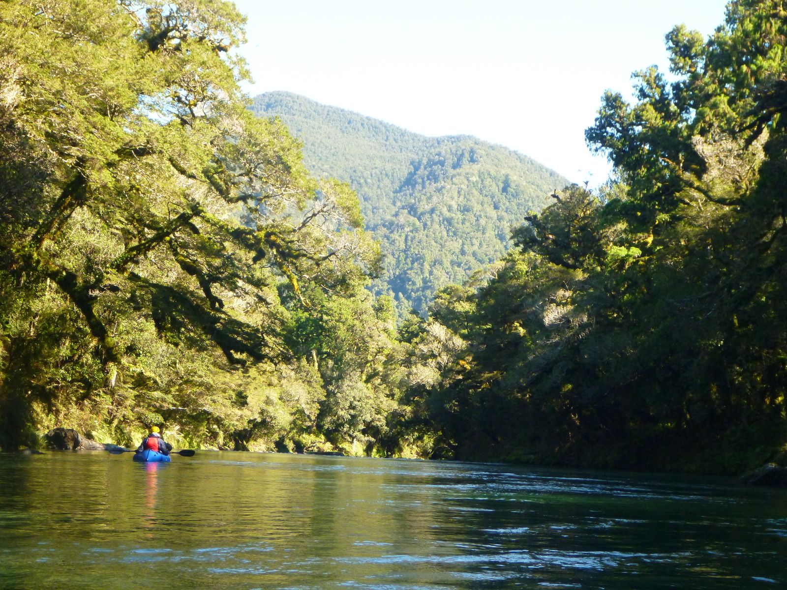
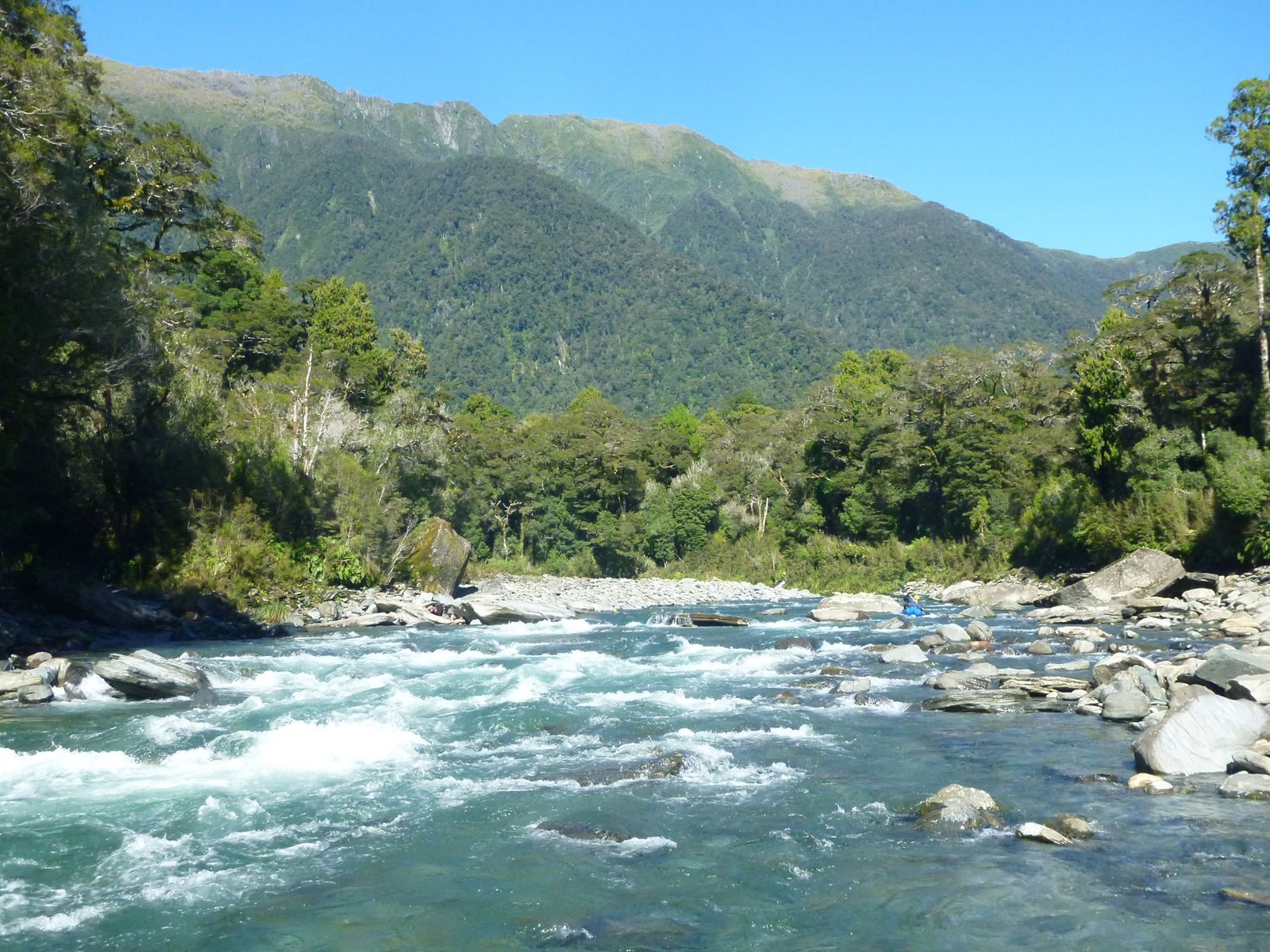
This section is very scenic and beginner-friendly. Once the river emerges from the bush on to farm flats, the real rapids are over.
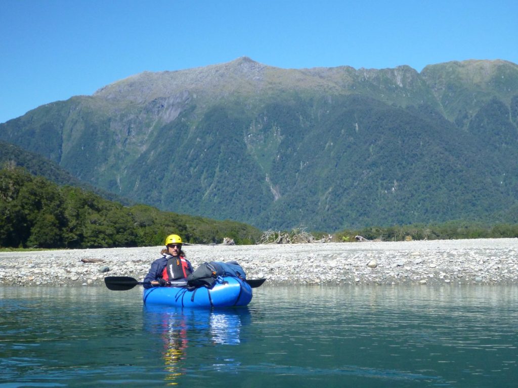
Paringa River (I) below the flats
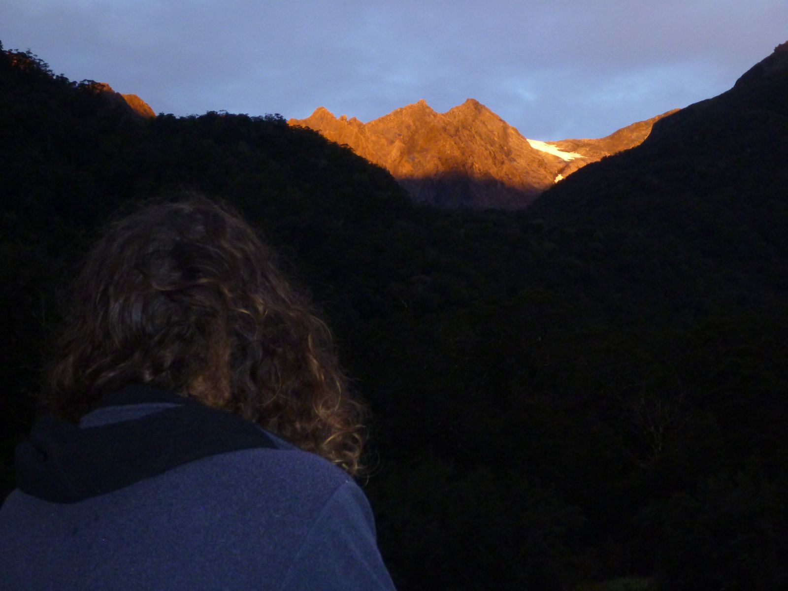
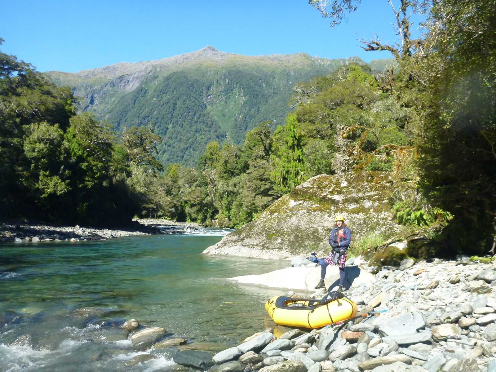
Expect a few wave trains down to the confluence, and when the Otoko joins, a little more flow to push you down valley. On a good day, there are great views back towards big summits adjacent to Mt Hooker. Take out at the bridge.
Gauge
Visual.
As mentioned earlier, this trip needs rain to be runnable. From the bridge it should look easily floatable, without boney bits.. Ideally it is raining a bit (not a lot) as you hike in or it rained quite a bit the day before.