


Unlike the section above Haast-Paringa Cattle Track, the lower Moeraki is a very gentle paddle. This trip involves travel through the river, a lake, a bush bash (or coastal walk at low tide)to a penguin colony, then back to the road via an excellent track.
The coastal walk section is very subject to tide and sea conditions to be passable. If it isn’t obviously safe/easy, then prepare for the bush bash!; the alternative to the 15 minute beach walk is a 30min bush bash through some thick west coast jungle! As the trip involves a lake crossing, any wind can make for slow going, or rough conditions.
Thanks to Dan Clearwater for the original trip info. Thanks to Alan Swann for the updates in December 2020.
View Larger Topographic Map
Shuttle
A good tactic is to drop off all your gear by the Boulder Creek bridge, drive back to Monro Beach track car park, then hitch back to the start point. There’s plenty of traffic, so hitching shouldn’t take long. Walking the road isn’t recommended due to the small shoulders in places.
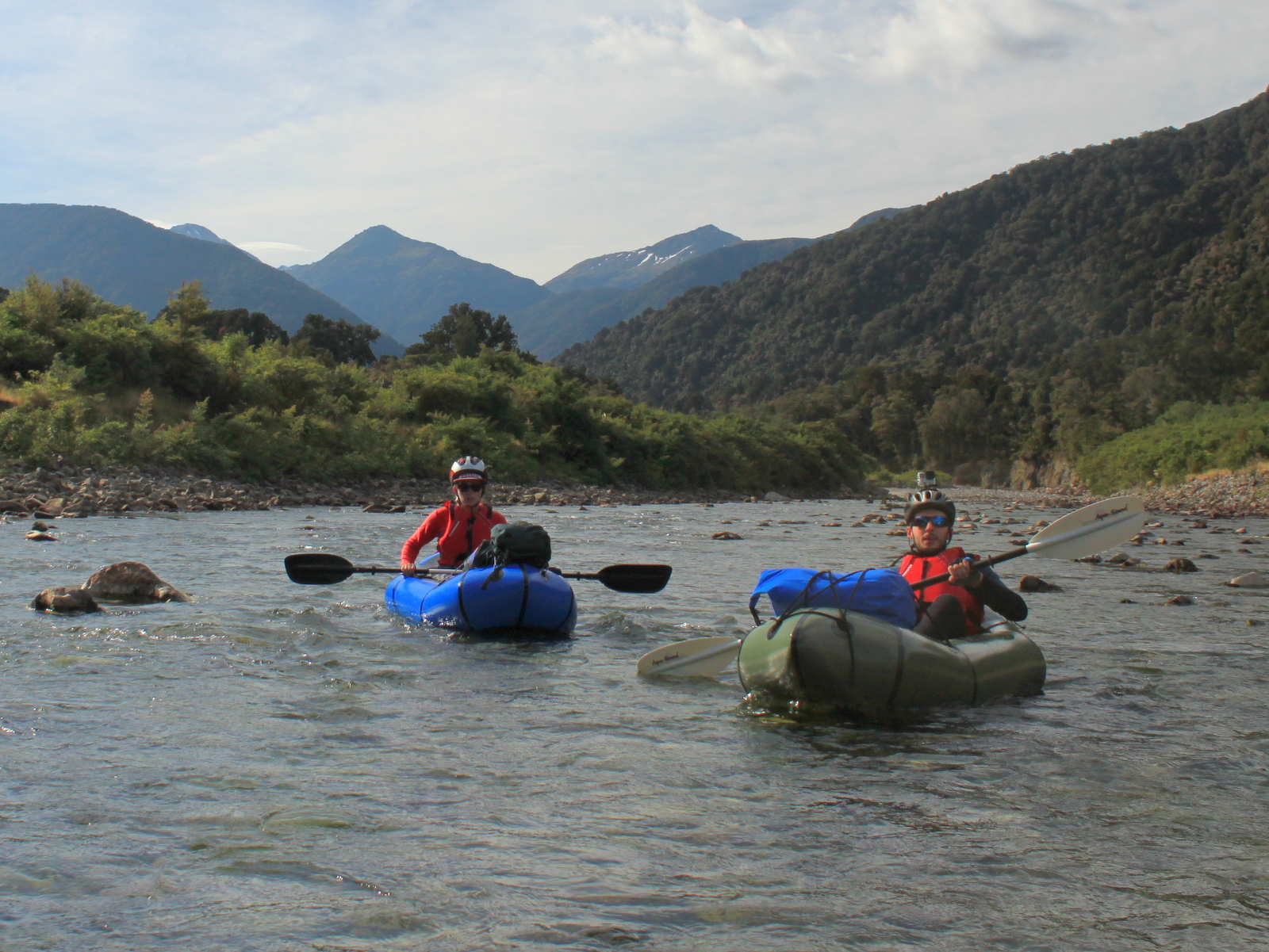
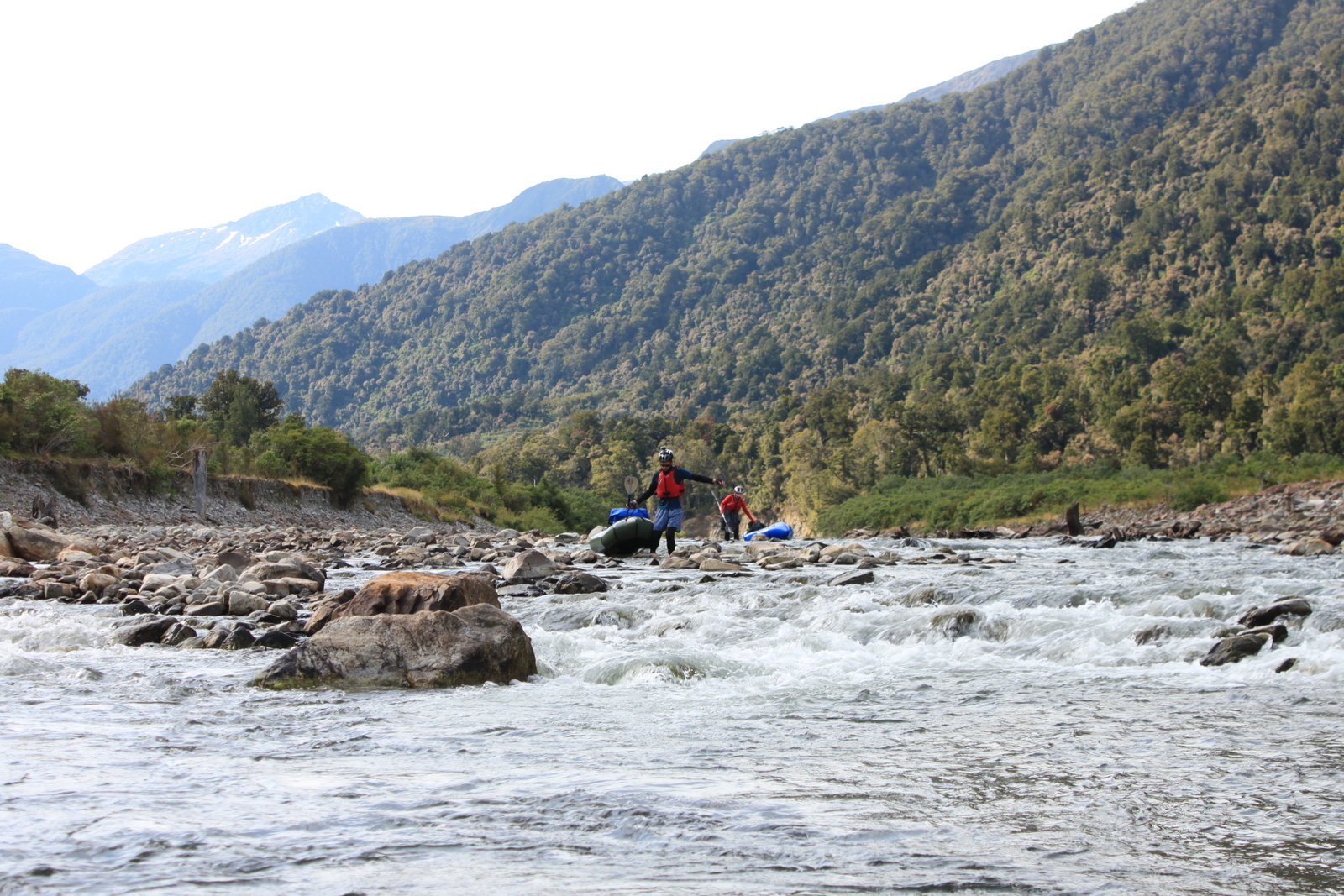
Lower Moeraki (I/II) Boulder Creek to Lake Moeraki
In low flows, expect to be carrying your boat around a number of shallow sections. In normal flows, there’s likely to be a handful of class II rapids as the river passes through the gravel braids. There are lots of trees in the river to watch out for (Dec20), including one that spans the whole river where it narrows, these are all fine in normal flows but could be problematic at higher flows.
It took us about 1.5 hrs in very low flows to reach the lake.
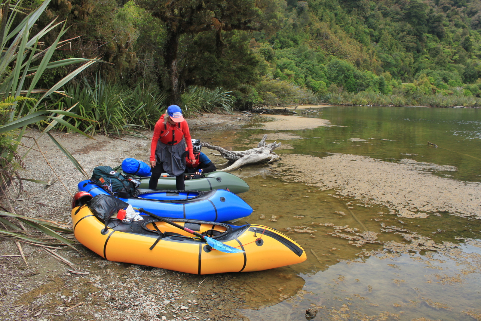
Lake Moeraki
The north eastern shoreline has plenty of places where you can land for a rest, or to escape to the road if the wind makes the lake too rough for your liking. This would generally involve a scrub bash to get up to the road. There’s a couple of boat ramps/access points which would make easy escape/start points. They are both marked from the road side, and are clearly visible from the lake shore. One is at the far eastern point of Lake Moeraki, the other about 1km east of the Moeraki River bridge on State highway 6.
It took us about an hour to paddle across the lake, into a light headwind.
Moeraki River (I/II) Lake Moeraki to the coast
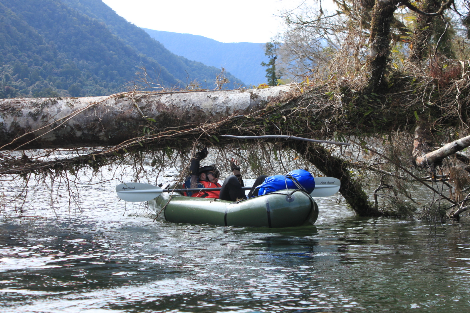
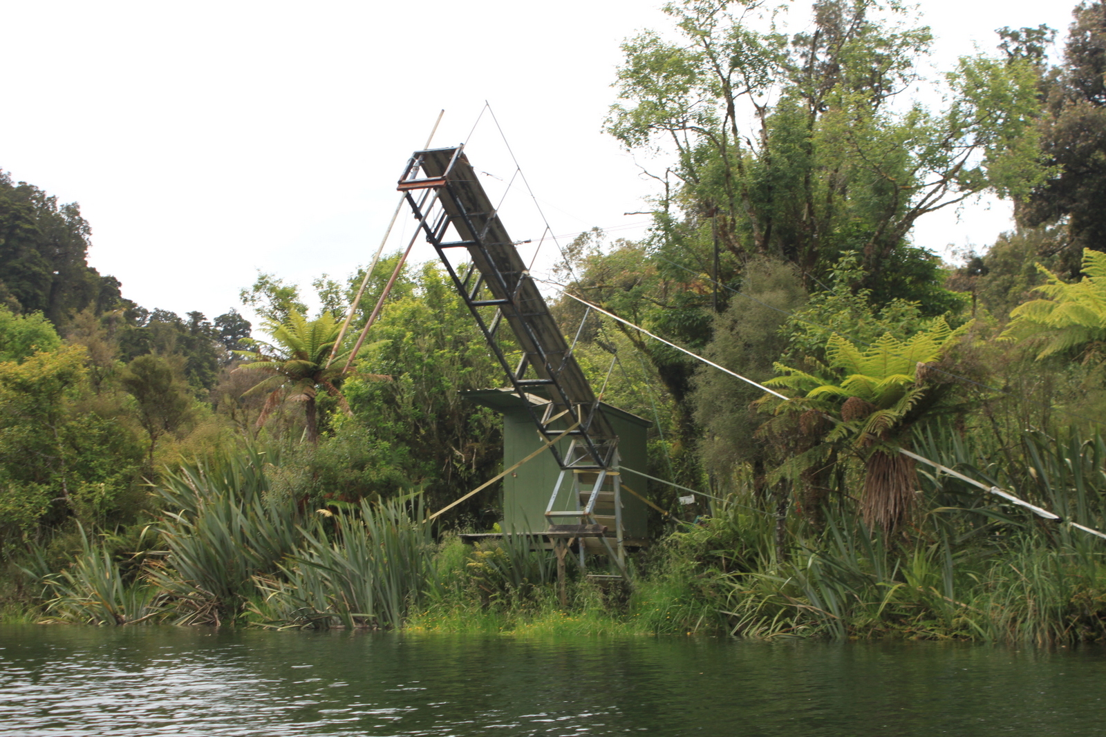
Keep an eye out for the tailrace canal on the true left, just below the bridge. This powers a micro hydro scheme which provides electricity for the Lake Moeraki Lodge, it is a good detour paddling upstream from its base at the resurgence into the river. There are a few little bouncy rapids in this section, plus a few dead forest mazes to navigate (in slowly flowing water). The buildings marked on the map are whitebait huts, so its probably best to avoid the whitebait fishing season (01 September to 14 November)
There’s plenty of room on the sand bar by the river mouth to land your packraft well clear of the huge swells coming off the Tasman Sea. It took us about 45 minutes for this section in very low flows.
There is also a great place to pack up on river right to the far right of the sandbar on the grass away from the sand.
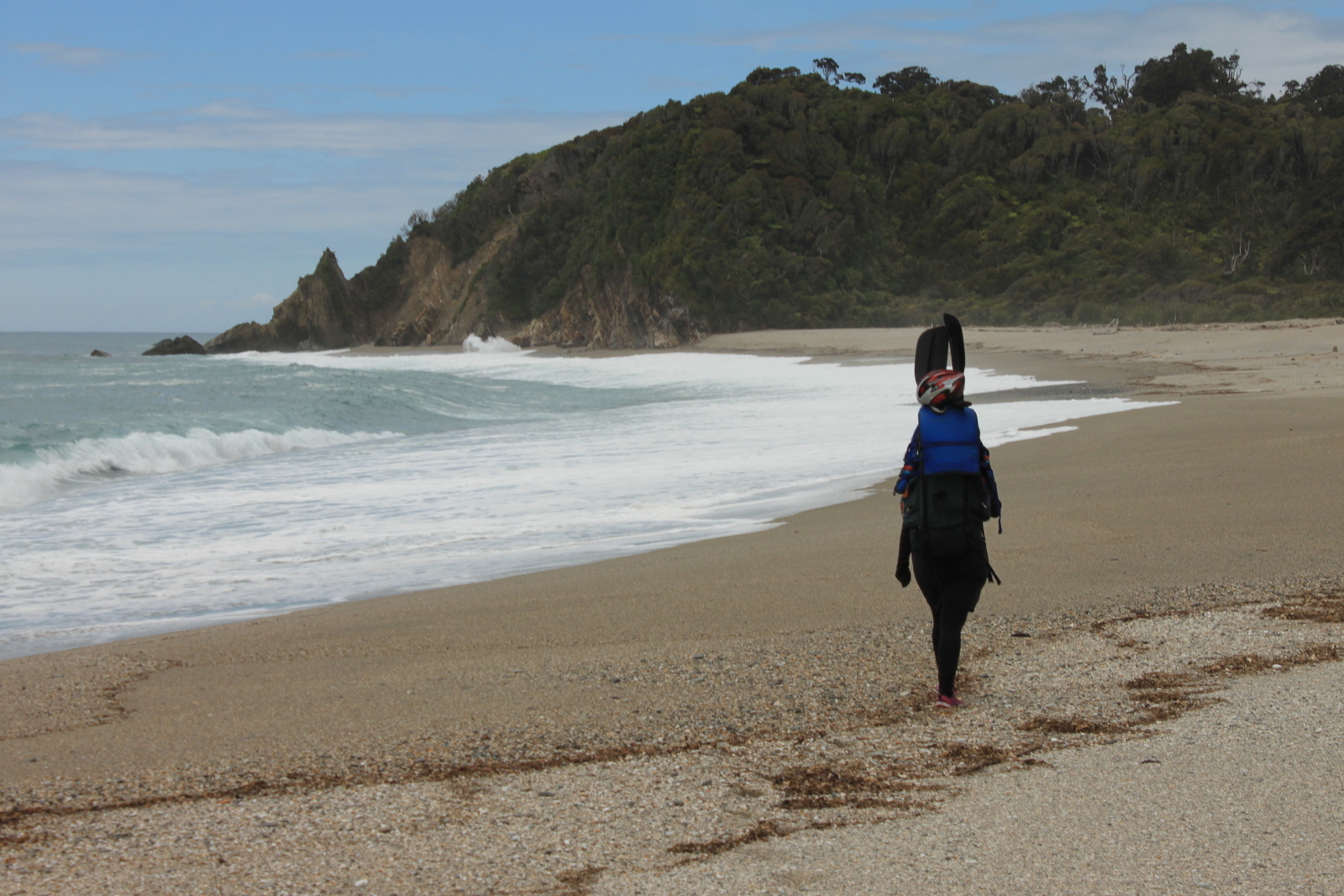
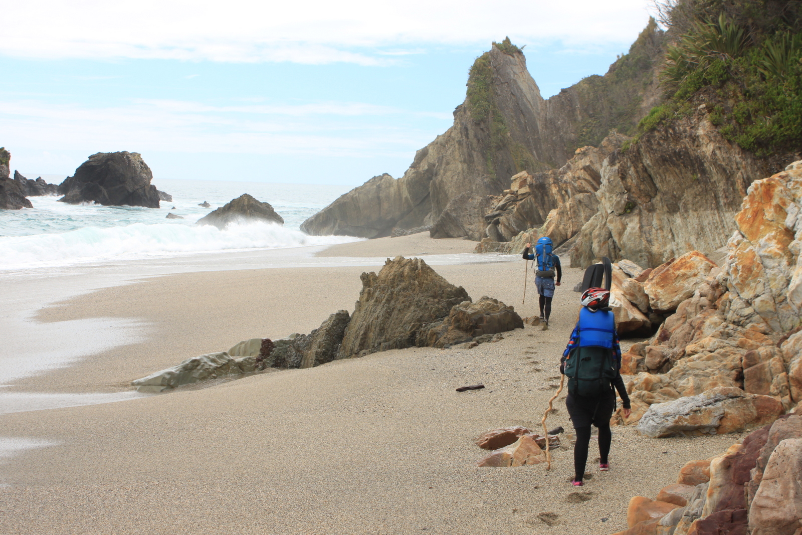
River mouth to Monro Beach
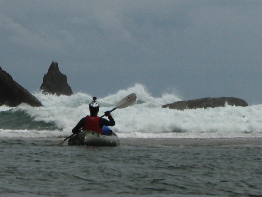
The coastal route is very subject to tide and sea swell conditions. The nearest location for tide and swell forecast is at the Piakatu Point. We haven’t verified the swell height and tide combination which makes the coastal route viable. Pick a good forecast and let us know how you get on!
There’s only one rocky point to get around, but it sticks out a fair way, and when the waves/swell are crashing on it, its not a safe route. There’s no other sensible route over the rocks, so if you can’t get around safely, then you need to either take the bush route, marked on the map, or paddle back upstream, if wind or flows allow, to the lodge or river walk track.
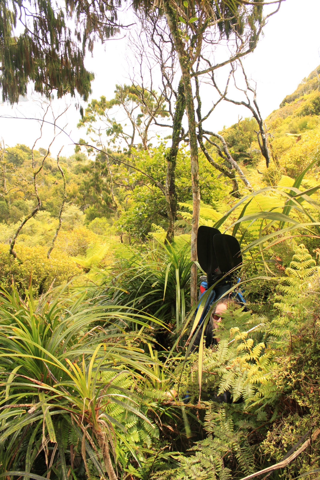
The west coast scrub is pretty thick here, with lots of Kiekie and Kareao (Supple Jack) which makes for slow going. The route shown on the map took us 20 mins to get from the beach to the track. Enter the bush approx 200m before the end of the beach where you can see the terrain ahead, towards the track, is low. It can be quite disorienting in the bush; thick, tall vegetation, muddy underfoot, no view of the sky on flattish terrain, so a spot on a topo map on your phone, GPS or compass are very useful.
Monro Beach to car park
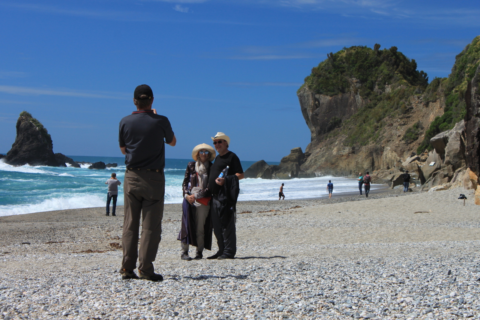
If you’re there at the right time of year , you can see Fiordland Crested penguin/Tawaki on Monro Beach.
It’s a 40 minute or so walk back along a wide benched track to the carpark. There are a couple of junctions with 4WD tracks, where it isn’t completely obvious which way to go if you are seeing them for the first time. There are (small) DOC signs showing the way to the car park.
Gauge
Visual at the put in.
The character of the river at the put in is consistent with the rest of the river, so you can gauge the conditions before you start.
Also check the Piakatu Point swell, tides and wind for the lake crossing and coastal route access.

We did this trip again and have the following to report:
– The river wide log on the upper section is gone.
– It was within an hour of low tide with a decent swell but walking around the rocks on the beach was a no-go.
– Instead of the bush-bash we paddled easily back up the Moeraki (incoming tide probably helped) to the first side stream you encounter on river right. It seems shallow but it has very little flow so you can paddle up it to a boat ramp (for the whitebaiters I assume). It’s a low sandfly area that’s good for putting boats away and the 4wd track leads right back to the track and the Monro carpark.
Hi There,
I was wondering if you could provide some input into the state of the river above Blowfly Hut? Where does the flow become enough to start packrafting? Also, the gorge below Blowfy Hut. Whats it like?
Cheers,
Dave
Thanks for this (and all the route ideas here on this site!).
We floated out to the ocean today (27/12/18) and breezed by the rocks to get to the track. It was within an hour of low tide, 0.2 m swell. You can stay on dry sand, seemingly within a few hours of low tide at this swell. Rest of the river was good — river wide log is still there on the upper section, but very easy to avoid. Looks like we had more water than shown here — pretty minimal dragging. Fun run, thanks again!