Another wild west coast valley and river, with rough tracks, a great hut and magnificent scenery that backs on to the Adams Wilderness Area.
Thanks to Dulkara Martig, for the feature image, Deane Parker for the video and Dan Clearwater for the additional photos and descriptions.
Overview
There are a few ways to enjoy packrafting in this valley:
- A cruisy weekender. Walk a few hours into Hot Spring flat (great camping and very hot hot-springs!) then a few grade III wave trains & holes back to the takeout.
- A full weekend mission. Camp at the road end friday night, a long day into Hunters Hut, then a solid grade III/IV paddle out.
- Take a helicopter.. Not exactly a cheap option, but you could fly into Smythe Hut and walk down to Hunters Hut like Deane Parker did..
Logistics: the road end & take-out
At the ‘Power generation’ facility marked on the map, there is a car park with a DOC sign. The road does continue from here, but a couple of huge boulders placed in the road mean that its foot-only access from the car park.
If you’re going all the way to Hunters Hut, It’s a smart move to camp here and get an early start: unfortunately, it is not good tenting (gravel car park, no flat grassy areas) and there’s no toilet. Plan accordingly.
Before you head up the valley, pop down to the takeout where Tarpot Creek enters the Wanganui, so you know what it looks like from the river…
There are other take-outs on river right, but you’ll have to walk the highway & road to get back to your car.
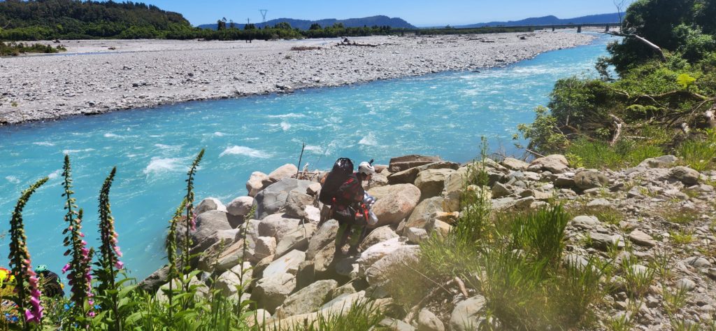
Wanganui Valley Track to Hunters Hut
The DOC sign says 5hrs, but as of November 2023, the track has been damaged by slips and tree-fall in several places. In the hut logbook, there were accounts of 8-10hr journeys, so start early and tell us what you find!
The DOC webpage on the Wanganui Valley has information on huts in the area. Hunters Hut is a delightful 6 bunker, that is well maintained. Keep the helipad at the hut clear of tents. There’s lots of easy camping on the main river flats in the vicinity of Hunters Hut.
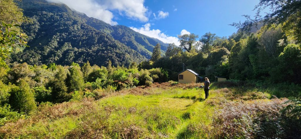
The Wanganui River (III / V) from Hunters Hut
There is a fair bit of pushy grade III water, with some big wave trains, and occaisonally packraft-flipping holes. There’s plenty of calmer sections to re-group, but it isn’t a good spot for your first grade III paddle.
The views up-valley are magnificent, with mountains bordering the Garden Of Allah ice plateau towering high on a clear day.
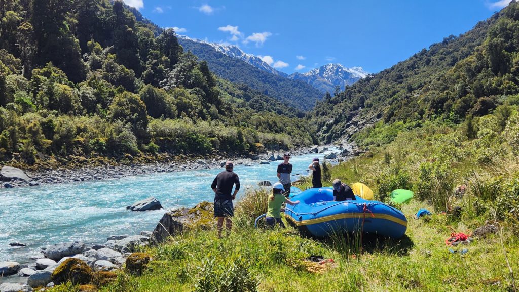
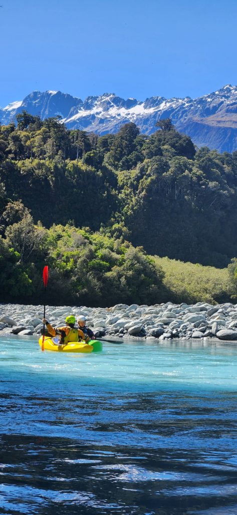
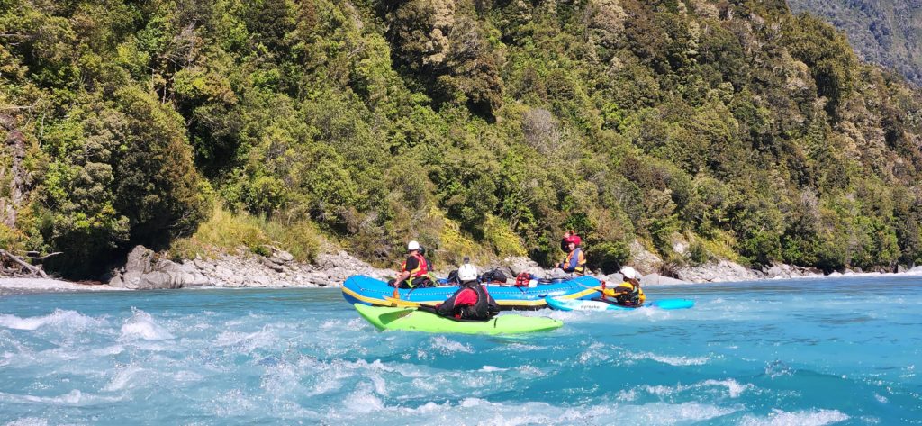
At Annoyance Bluff the valley walls close in, signalling that the Slip rapid isn’t far away. Easily seen from above, the Slip Rapid is a serious grade IV or V (depending on flow). Portaging is over large boulders on the true right, and isn’t too tricky.
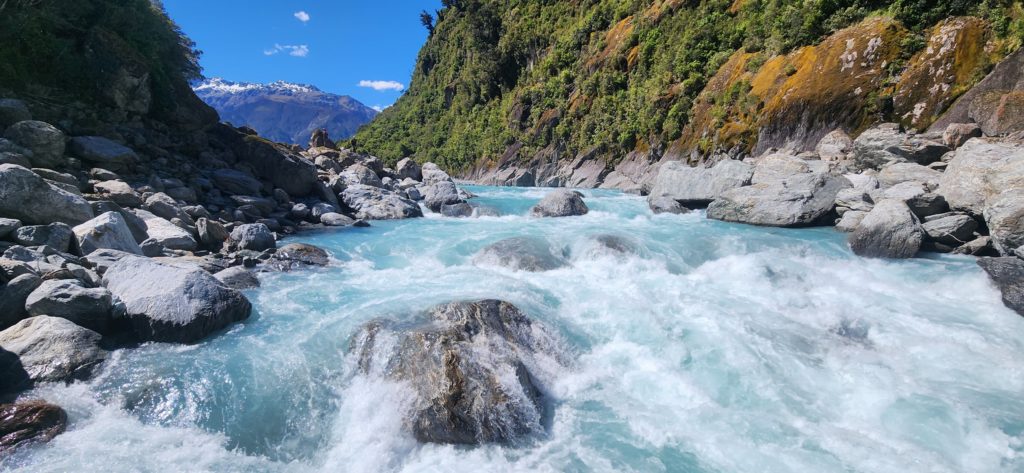
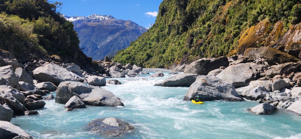
Beneath the Slip rapid, it gets back into pushy grade III for a while. The rest of the river alternates between gentle floats, big wave trains, and the occasional grade III drop with munchy holes. These can easily sneak up on you if you’re too busy looking at the view…
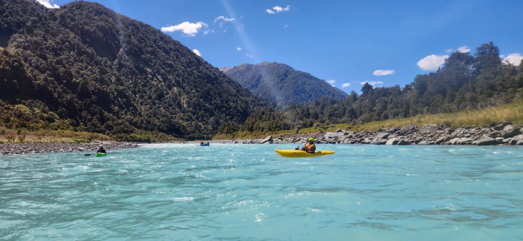
The Hotsprings Creek Hotpools are exactly where they are marked on the topo map.. They were almost too hot to swim in when we arrived, but others might have better luck!
The valley walls disappear for the last run down to the takeout. Make sure you’ve got a cold beverage stashed there. You’ll have earned it!
Check out Dulkara Martig’s blog post on this trip for other perspectives on this trip.
Gauge
Visual. Although it is glacially fed, it looks like it could get quite bony in long dry periods. A little rain a few days beforehand will bring out the best in this run.
If Tarpot Creek is (just) flowing, as you walk in, you’ll have good medium flows.


Amethyst hot springs are a great way to end the trip. On TL of Amethyst where it hits the Wanganui river bed. Be aware that a blowout on Tribute ck (I think) creates a rapid that has been different every time I’ve been through in the past few years. This time it had a big hole that nearly stopped us in a double. A bit of a step up from the rest of the hotspring down section. The one major rapid below annoyance bluff also seemed different from last time but is easily scouted on the walm up and easily portaged RR.
Beautiful West Coast river trip!
A bit of a walk but cool little hut and some nice white water.
Took us about 2hrs to get to the hot pools walking around the slip.
Pool full of algae and not too inviting but very hot.
Continued another 4.5hrs up to hunters hut for the night.
Started with a couple nice rapids on the lambert and back down to hot pools in just over an hour.
Spent some time digging out algae so could be good for the next party.
Tarport creek wasn’t running when we walked up but there was rain in the forecast so we were hopefully but it was still dry when we got out.
Still plenty water to run everything but one small drop in the slip rapid section.
The river is flowing way over on the left above the road bridge. If you have parked at the power station make sure to take out accordingly.
We paddled just the lower section from Hot Spring Flat back to the carpark near the state highway bridge.
The track is initially very quick going as it follows an old 4×4 track (locked gate) through some farm paddocks and then through regenerating bush. The first ~3kms are flat and wide. Past Canopy Bluff the 4×4 track goes steeply uphill to avoid the river and eventually deteriorates into a typical west coast tramping track. The main challenge here is that the river keeps eating away the track, so in places the route goes high into the bush away from river level. Once we hit Shearers Flat we cut across the river bed to a point directly across from Hot Spring Flat.
Crossing the Wanganui at this point is swift and deep, especially at good packrafting flows. Would recommend blowing up your packraft and paddling across to the hot pools – although trampers do cross on foot here. It took us 1.45 hours to walk to this point from the start.
There are two sets of hot pools surround Hot Springs Flat. The first is ~100m away from the Wanganui river at the base of the hill (true right of Hot Spring Creek). When we were there these were deep and hot… great place for a soak! The other set of hot pools is a few hundred meters up Hot Spring Creek on a terrace (true right). We didn’t bother with these hot pools because they were shallow and not very warm. But it looked to be good camping around there.. flat and grassy, probably out of the main valley wind too.
After a soak in the hot pools, the river trip down is thoroughly enjoyable grade 2 (with one rapid requiring some maneuvering around a boulder – possibly 2+). The rapids are typically wave trains with a straight run down the middle, although some larger boulders add some interest. At the flow we did it at, the waves were big bouncy and deep. You could portage/scout any of the rapids.
Takeout on river right when you see the rock wall armoring. It took us maybe 30 minutes to paddle back down from Hot Springs Flat.
Thoroughly recommend the trip as a quick day option, and we’ll be back to explore the harder rapids further up the valley!