




The mighty Karamea
The Karamea has been a favourite with fly-in rafting and kayaking parties since before the 1990s. Many of these groups opted to walk in, meeting their boats and extra food after several days of tramping. More recently, packrafters are starting to discover this magnificent loop, following (literally) in the footsteps of the pioneering paddlers. Its fantastic combination of qualities makes it a classic advanced trip: long, remote, scenic, and difficult.
Thanks to Kelvin Montague and Liz Saunders for the intial trip report. Nick Ozard for updated info on river grading, timings and itineraries. Dan Clearwater for curation and editing.
Flow is everything on the Karamea
In ‘normal’ flow conditions, the river is manageable by competent grade III+ parties, who can make good decisions about portaging the chunkier rapids. Expert packrafting groups will enjoy the bigger drops, but still probably portage the biggest.
But remember the Karamea is a West Coast river, with steep valley sides, a significant catchment, and a respectable gradient. So when it rains, the river quickly transitions from difficult, to extreme, then onwards to terrifying.
The gauge is “Karamea River at Gorge”
According to a variety of sources, including some professional raft guides, about 1.1m on the gauge is the optimum flow. Looking at the history of flows, 1.1m is roughly the residual median flow, once the storms have drained out. Much below that shows a drought on the coast! Looking at the history of flows, the storms can be pretty regular, and it doesn’t take much rain to push the rapids beyond the skill of most paddlers.
- 0.8-1m: Low. Very boney with lots of butt scraping and jumping out for shallow bits necessary in the upper reaches. The larger rapids above Roaring Lion confluence also too low to run. Below the roaring lion confluence everything goes but lines are not as clean. The trip has been done at flows down to 0.8, it goes but it’s scrapey!
- 1.1 – 1.2 m: Optimum flows, not too scrapey in the upper reaches with clean lines from Venus down to the takeout. Everything is portageable. This is the flow described in this guide.
- 1.3-1.5m High flows. Everything is pushier, and takes on a IV/IV+ character. For seasoned teams who are competent on big water.
- 1.6-2m is when the lower gorge becomes V/VI.
- >2m is flooding. Continuous grade V through most of the river, with plenty of VI just for fun. Any sane person will be sitting in one of the huts reading a book.
What does this mean for packrafters?
You need to pick your weather and flow window carefully, and have the time/food to sit out any unexpected rain. Between Karamea Bend and Greys Hut, there are no easy walking escape routes, and even above the bend, side creeks can render the track impassable. Luckily, there’s an excellent network of 10 huts along the route – providing a comfy place to wait out high water.
As anyone who ought to even consider the Karamea knows, the difference between 1.1m and 1.3m isn’t just 15% (ish) extra water. (If you don’t understand why, it’s probably a good sign this isn’t the trip for you)
The description on the Whitewater NZ Riverguide website is more indicative of a low-water (<1.1m) trip, and some who know the river well (at all levels) suggest the description under-grades some rapids, and under-sells the seriousness of the trip. Take from that what you will.
Possible itineraries
Thanks to the plethora of huts in the area, there are many ways you can arrange your trip. The most common approach is via the Wangapeka Track, taking about 1.5 to 2 days, depending on fitness and motivation.
The times below are indicative only for suitably experienced and fit teams. These will vary depending on scouting ability, team competence, flows and other factors.
- Walk 3.5-4hrs / 9.4 km- Road end to Belltown Manunui Hut
- Walk 7-8hrs / 8.7km – Up and over Little Wanganui Saddle to Taipo Hut
- Walk 2-3hrs / 6.8km Taipo Hut to Trevor Carter Hut, then paddle 3-5hrs / 7.2km to Thor Hut (II/II+)
- Paddle 5-6 hrs/ 9km Thor Hut to Crow Hut (II+ and III)
- Paddle 5-7hrs /18km Crow to Roaring Lion Hut (III+ and IV with portages)
- Paddle 5-6hrs / 17km Roaring Lion to Greys Hut (lII+. Big portages, long flatwater sections)
- Paddle 3-5hrs / 8km Greys Hut to Umere Rd end take out (III/IV pool drop.)
Very strong and fit paddling teams report 5-6 day round trips as fairly comfortable.
View Larger Topographic Map
If you want a guide on this trip, ask West Coast Packrafting.
They offer instruction from beginner to advanced, plus guided trips from grade I to IV, 1 day to 6 days, on loads of rivers.
The shuttle
The takeout is on Umere Road, at a Fish & Game access point. There is good parking here.
If you want to try your luck at hitching, a better plan is to park just downstream, river right, near the main Karamea bridge (on Bridge St) and accept 7 extra kilometers/ 1-2 hours of flatwater at the end of your trip.
Only 22km away is the start of the Wangapeka Track where you begin.
Approach on foot
From the Wangapeka roadend the track follows the true left of Little Wanganui river. The trail is good if not a little swampy, surprisingly undulating and occasionally indistinct. About 3.5 hours of walking will bring you to Belltown Mananui Hut. From here the track begins the climb to Little Wanganui Saddle (1100m) steepening as you approach the cosy Little Wanganui Gorge Shelter (2 bunk) which you will reach after another 3 hours of travel.
From the shelter the track climbs steeply up to the Saddle where on a clear day you’re rewarded with a view of the Tasman sea. The track descends sharply to Stag Flat where another two bunk shelter can be found before descending more gradually to Taipo hut (16 bunk). From the Little Wanganui Gorge Shelter to Taipo Hut takes around 4 hours and another two hours walk through the beech forest will bring you to the put in.
Alternative approaches
The Karamea drains a huge catchment with numerous tributaries and there are endless options for interesting approaches. Most require a substantial shuttle which could be alleviated by one of the shuttle providers servicing the Heaphy, Wangapeka and Leslie-Karamea tracks.
Two particularly cool alternative routes Nick Ozard can recommend are hiking in from the south over the Matiri tops route or dropping into the Roaring Lion River from the Cobb via Chaffey Stream. With the Karamea running at 1.3 The Roaring lion river is mostly grade II/III- with one outstanding grade IV boulder garden about 2km from the hut.
On the river
A short stretch of the Taipo river above the confluence with the Karamea is just about floatable with a bit off butt scooting. From the put-in above the last swing bridge before Trevor Carter hut (12 bunks) the river is shallow, easing through pools and dropping through class II boulder gardens, it is quite boney but very scenic and good to be off your feet. There are two obvious portages over slippery rocks between Trevor Carter and Thor Hut (6 bunk), both are best passed on river Left. The boulder gardens continue down to Venus Hut (12 bunk).
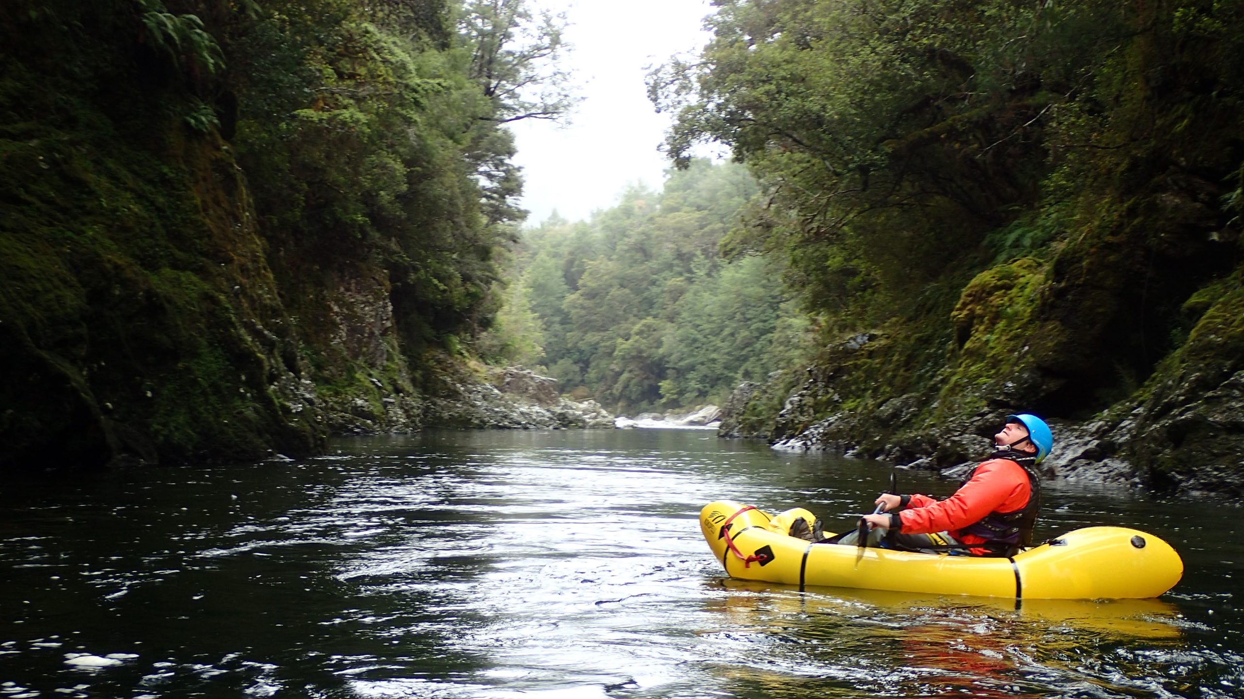
Below Venus Hut the river grows and the paddling improves. Grade II/III boulder gardens interspersed with scenic flatwater below towering limestone cliffs lead you past Crow Hut (12 bunk) down to two larger grade III+ rapids above Karamea Bend Hut (22 bunk).
Below the bend, the river flows into long stretches of flat water with occasional grade II/III boulder gardens and two grade IV rapids before Roaring Lion Hut (5 bunk), both are easily portaged on river left. Hike your boats up the Roaring Lion River to reach the hut. This is a really cool, seldom-visited hut.
Two kilometres of flatwater on one of the lakes formed by the 1929 Murchison earthquake bring you to the top of the Roaring Lion Rapid. Some parties may choose to deflate their boats and do a full transition before proceeding down river left. Flows and skills allowing, the quickest portage options is to shoulder your boats down river left to the large flowing pool in the middle of the rapid and then ferry across to river right to negotiate the lower section of the portage. The portage takes between 40 minutes to two hours depending on your plan and ability.
Below this sweaty ordeal the fun begins with endless pool drop class III/III+ boulder gardens. All easily scouted and portaged with options for lines of varying difficulty. Occasional brief stretches of flatwater allow you a moment to take in this untracked area of the park which few are lucky enough to see. A long continuous boulder garden flows past Greys Hut (6 bunk) so keep an eye on your progress as it would be easy to miss the hut, which is tucked away in the bush on river right.
Grade III boulder gardens lead down to a sharp right turn in the river where the sides of the valley steepen and you enter the Karamea Gorge, here the river gets pushy and takes on more of a big water feel. The following 4km contain a series of distinct large grade III/IV rapids separated by pools.
Apparently there are two named IV rapids. The first is named ‘Growler’ and the second (which is soon after the Kakapo confluence) is named ‘Holy Sh!t”. All the gorge can be easily scouted and portaged at reccomended flows.
The Karamea Gorge (tramping) route apparently comes down to the river-edge on the true right, which may offer escape options. The exact locations have not been verified, so don’t rely on this!
Read the tramping route description on Remotehuts.co.nz – about 4-5 hours walk between Grey’s Hut and the road end. While the description doesn’t explicitly state that this route is passable in flood, reading between the lines, it suggests that it is an option in medium to high river flows. Take that with a grain of salt until we get direct feedback from a packrafter who’s been there…
Karamea town offers some good options for post-trip indulgence. Make a point of spending some $ here and savouring your success over a cold brew and hot feed.
A trip report at optimum flow
Words and pictures by Kelvin Montagu & Liz Saunders. Additional info courtesy of Nick Ozard, Edits and curation by Dan Clearwater
What follows is a trip report at optimum flows with a competent team. It is a great indication of how the trip can go when levels are great and rain events don’t sneak up on you!
Our South Island summer of paddling culminated in a seven-day trip on the West Coast’s Karamea River. Winding through 100 km of the Kahurangi National Park this was a great mix of tramping and paddling. It’s why we packraft.
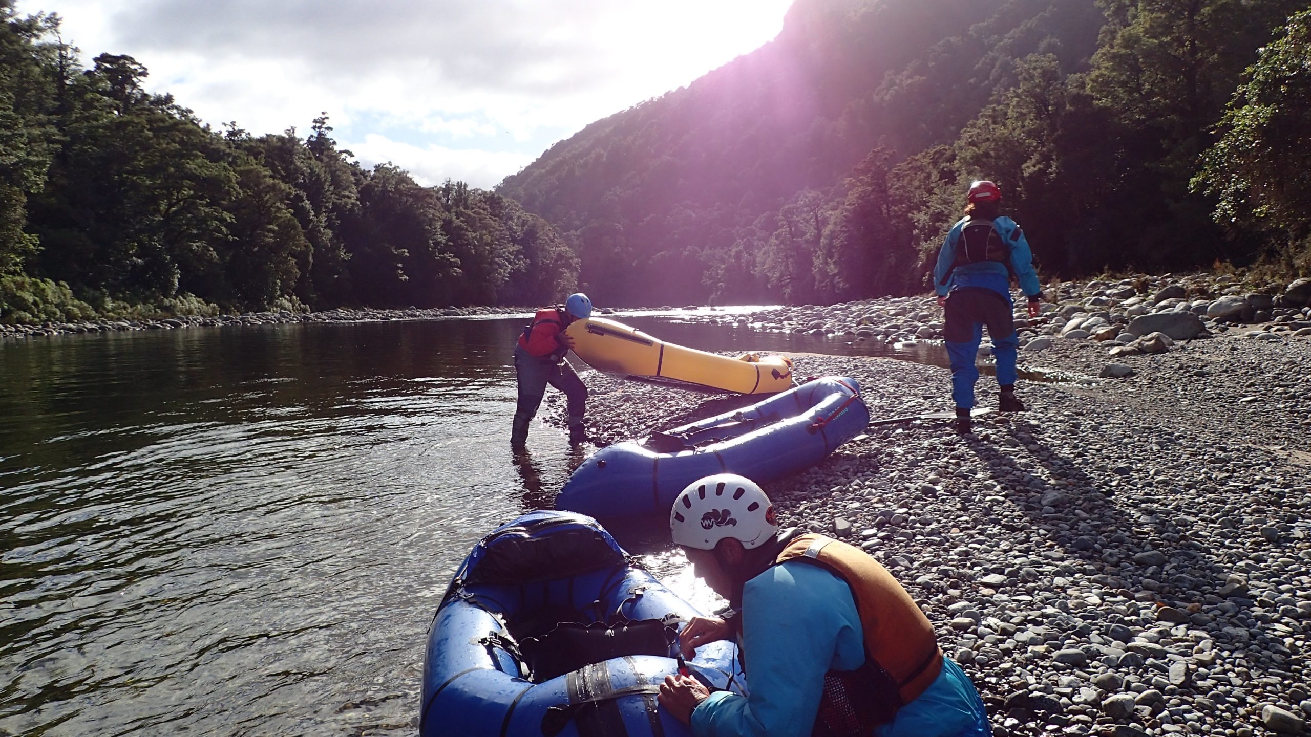
I would rank it up there with Tasmania’s Franklin River for the varied landscapes and length and paddling intensity. A trip of this length tests your mental toughness. Each day you must get up and face the challenge of the river. Even if the weather is shitty or you are sore and bruised from the previous days. It’s also remote. Once you are on the river it’s pretty much the only way out.
Liz and I teamed up with locals Neil Silverwood and Lauren Kelley for a trip I had long had my eye on. This trip is one where you want a solid crew, its remote, there is a lot of whitewater, and the limestone creates many hazards. Not a nice place to swim.
Also, the weather window must be carefully chosen as the Karamea River drains a lot of step country. Some inclement West Coast weather can send this river to ridiculous volumes. Our trip over Easter (31 March – 6 April 2021) timed it well with the river running at just over 1m (around 50 m3/s).
The trip stats
- 28km of walking over the 1,100m Little Wanganui Saddle.
- 65km of paddling with 3 major portages and a few “optional” ones i.e. even the chicken run was pretty gnarly.
- River gradient 485m drop over 65 km at a gradient of 7.5m/km
The tramp
We accessed the upper Karamea River via the western end of the Wangapeka Track. There are lots of other options to access the river and tributaries – grab a map and explore.
With all the crew on the West Coast, starting and finishing on the West Coast side made for a short car shuffle, only 22km. It also meant we could meet Lauren and Neil for lunch and a final gear and weather forecast check at Karamea’s world-famous Vinne’s Café. Definitely worth a pre- and post-trip visit.
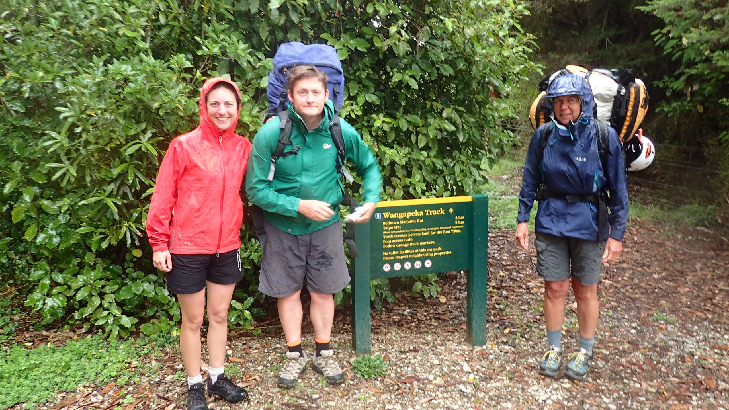
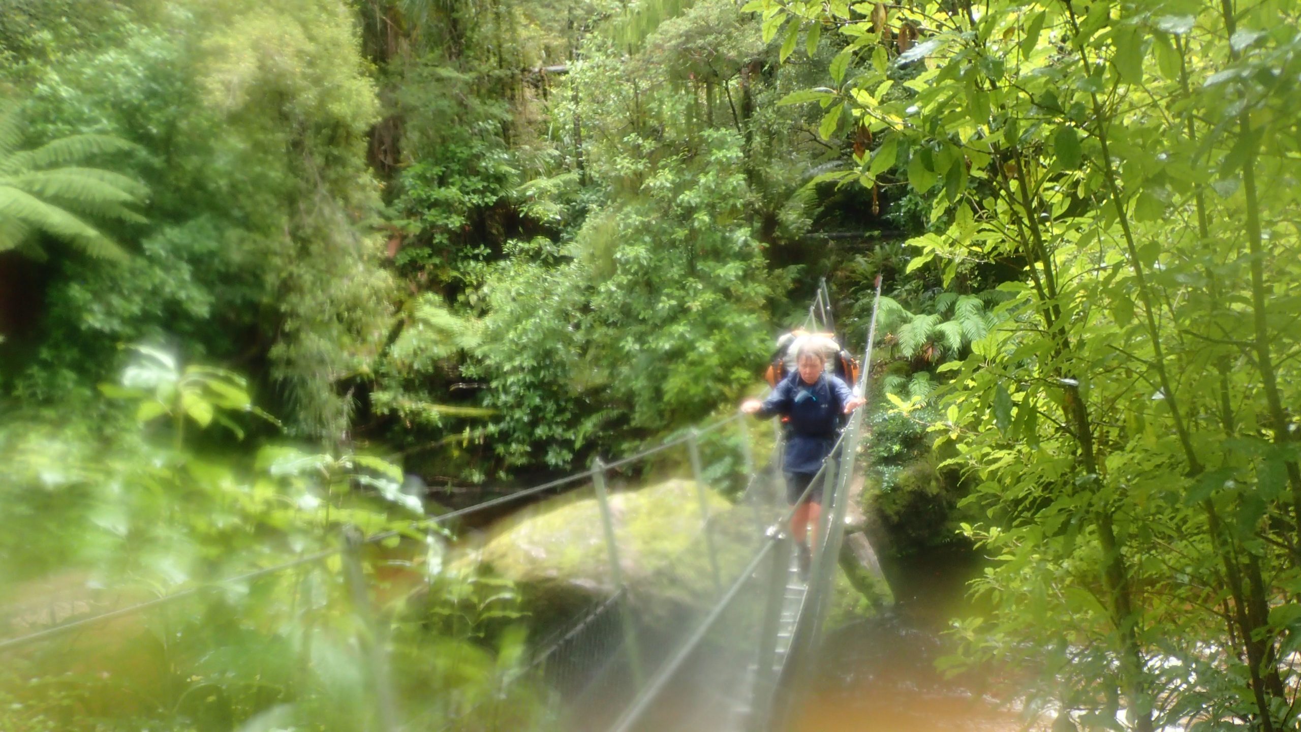
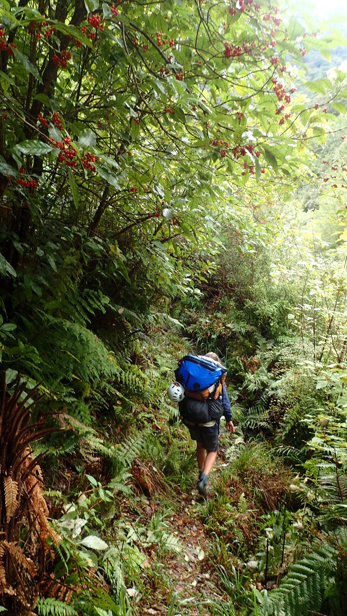
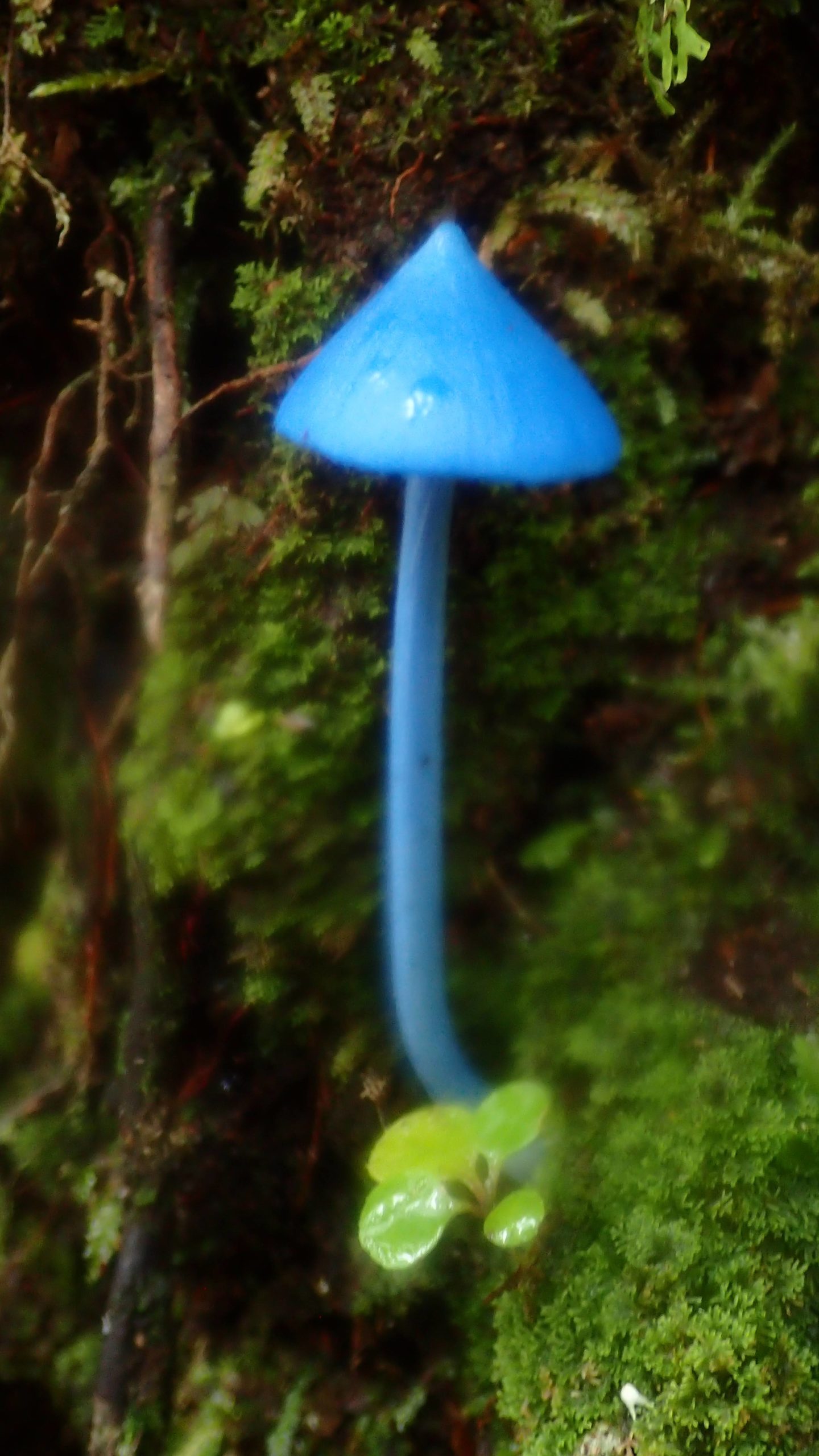
The tramp followed the Little Wanganui River up to Manunui Hut. We got to enjoy lush lowland West Coast rainforest as it’s meant to be – in the rain. The Karamu bright orange berries were spectacular against the lush greens of the forest and contrasted with the brilliant blues of the occasional sky-blue mushroom.
The major climb and descent for the trip was going over the 1,100m Little Wanganui Saddle into the Taipo catchment. This was a bit of a grunt with full packs. We had fantastic weather giving us a good look at the pass from a distance.
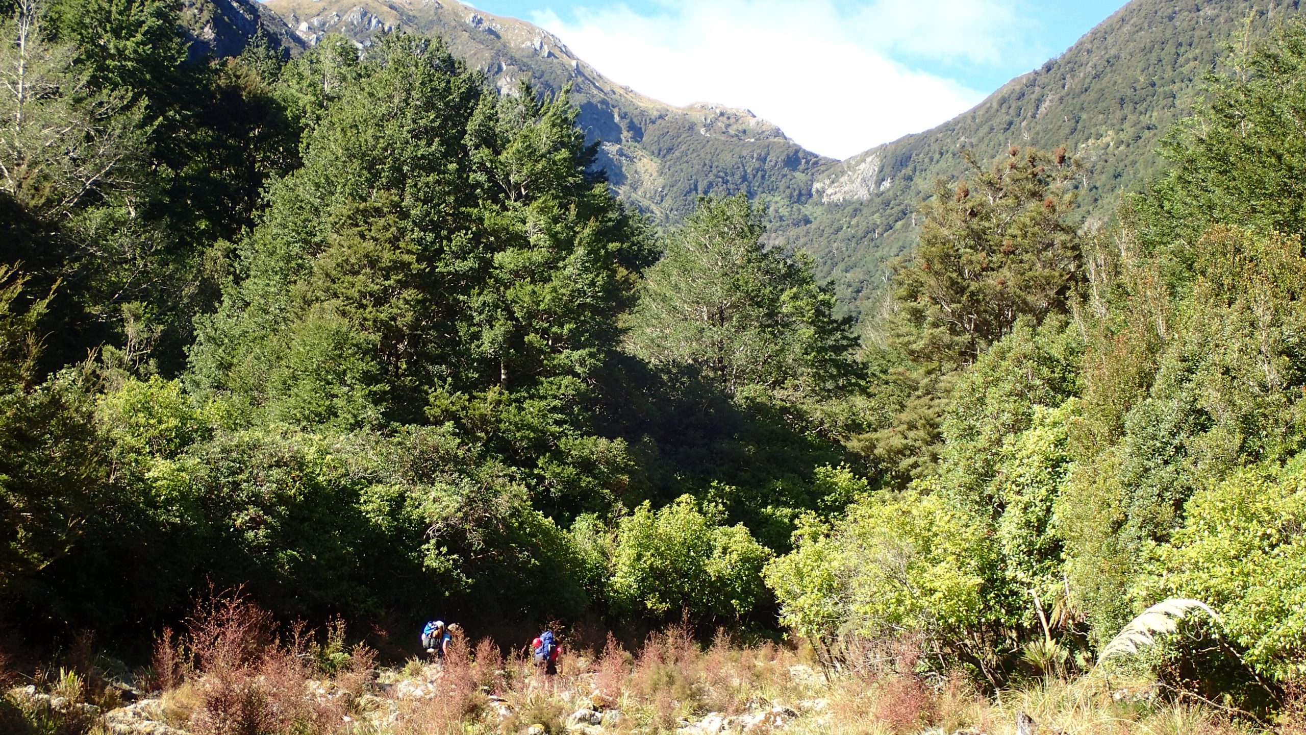
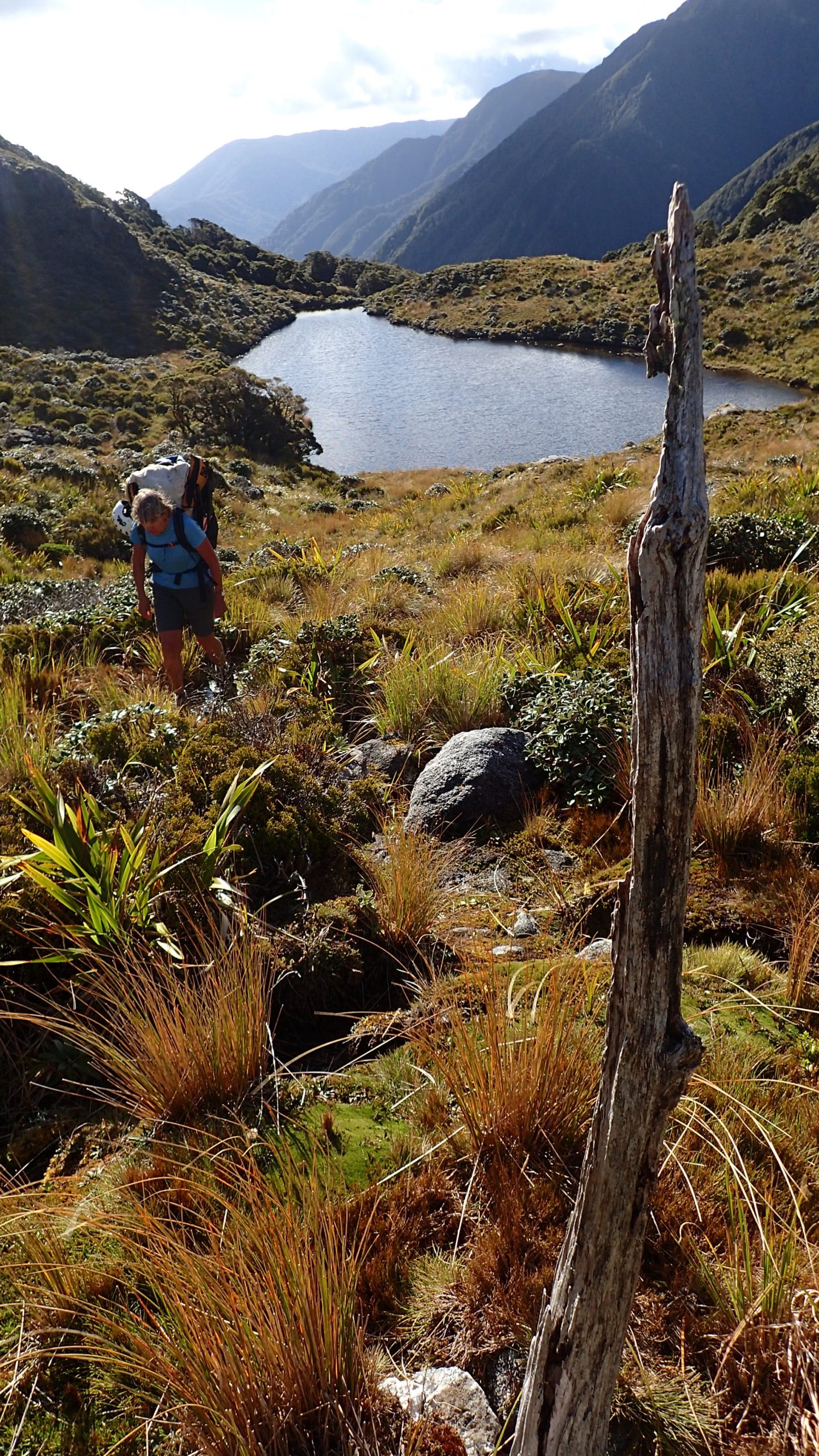
The climb took us up through temperate rainforest giving way to beech dripping in mosses and lichens and finally mountain cabbage trees and Dracophyllums. From the top of the saddle we had good views south to the Allen and Radiant Ranges, rugged country.
A careful descent into beech forest took us down to the upper Taipo River and hut.
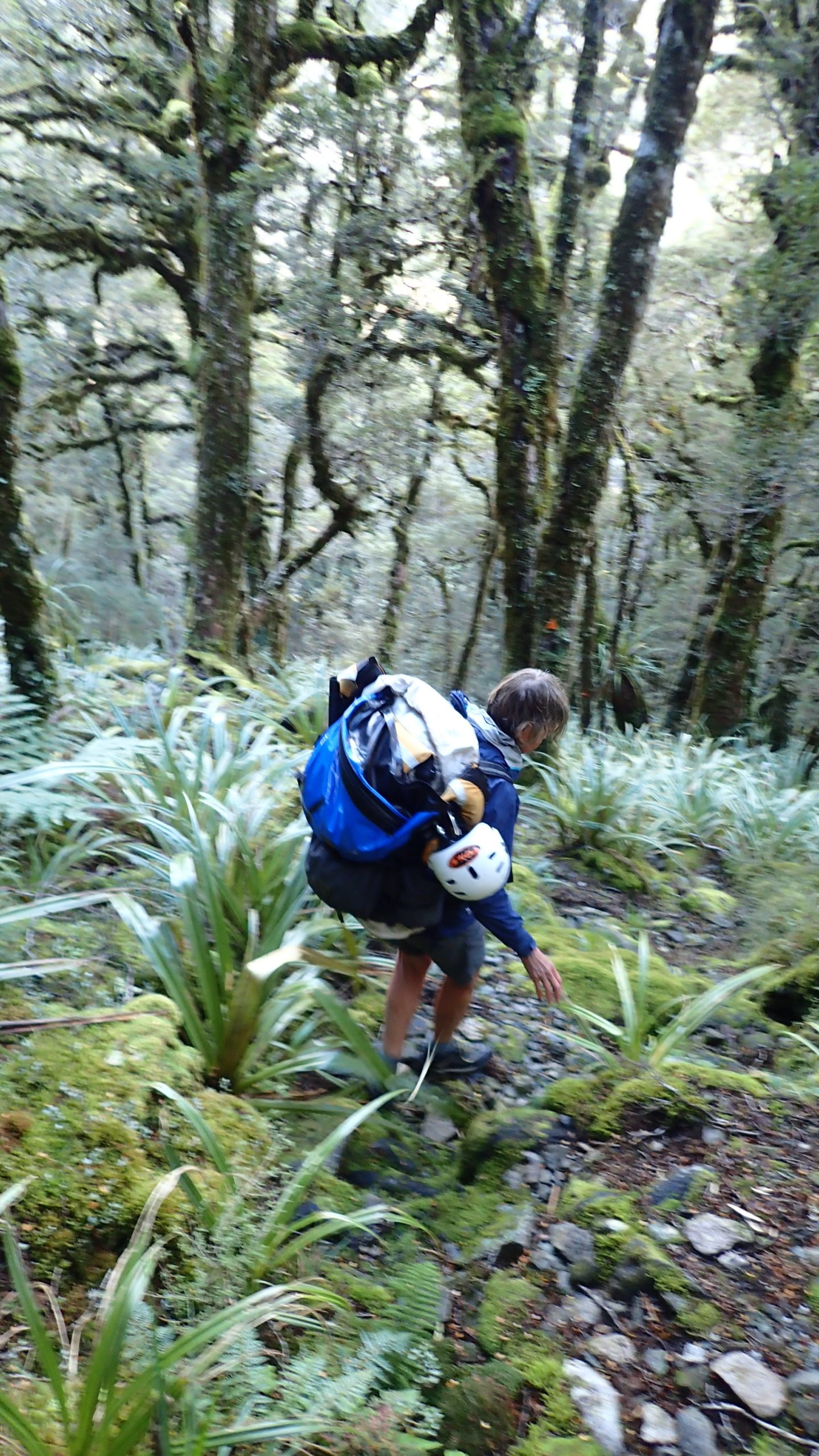
The following morning, we followed the Taipo River down, occasionally scouting put in points. The Taipo River level was a bit low but there were some lovely looking gorge sections. To paddle this section would require some reasonable rain which would make for some challenging paddling further downstream. We ended up walking through to Trevor Carter Hut where we transitioned from tramping to paddling.
The River
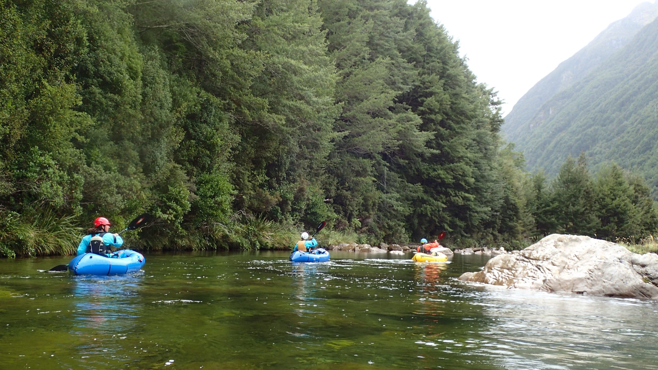
The Karamea River drains Kahurangi National Park, New Zealand’s second-largest national park. The river cuts its way down through layers of limestone and granite. While a West Coast river, the Karamea doesn’t have the same feel as rivers further south, where every hour you walk up a river seems to increase the grade by one. Instead, the upper reaches are lower grade than below Roaring Lion (the largest rapid). There, the gradient quickens, and the flow is boosted by some major tributaries including the Leslie, Roaring Lion, Ugly and Kākāpō rivers, which all have packraft potential in their own right.
The limestone is what gives the Karamea its character and sets it apart from your usual West Coast river. But judging from the slips, limestone clearly doesn’t like earthquakes. That did not stop Neil from trying to convince us that it is perfectly safe to be in a limestone cave during an earthquake. Sure!
The limestone also creates many river hazards such as sieves and undercuts. With the limestone poorly consolidated, the river is frequently rearranging the rock in flood, especially in the bottom sections. Not a nice place to swim and a real need to treat each descent as a first.
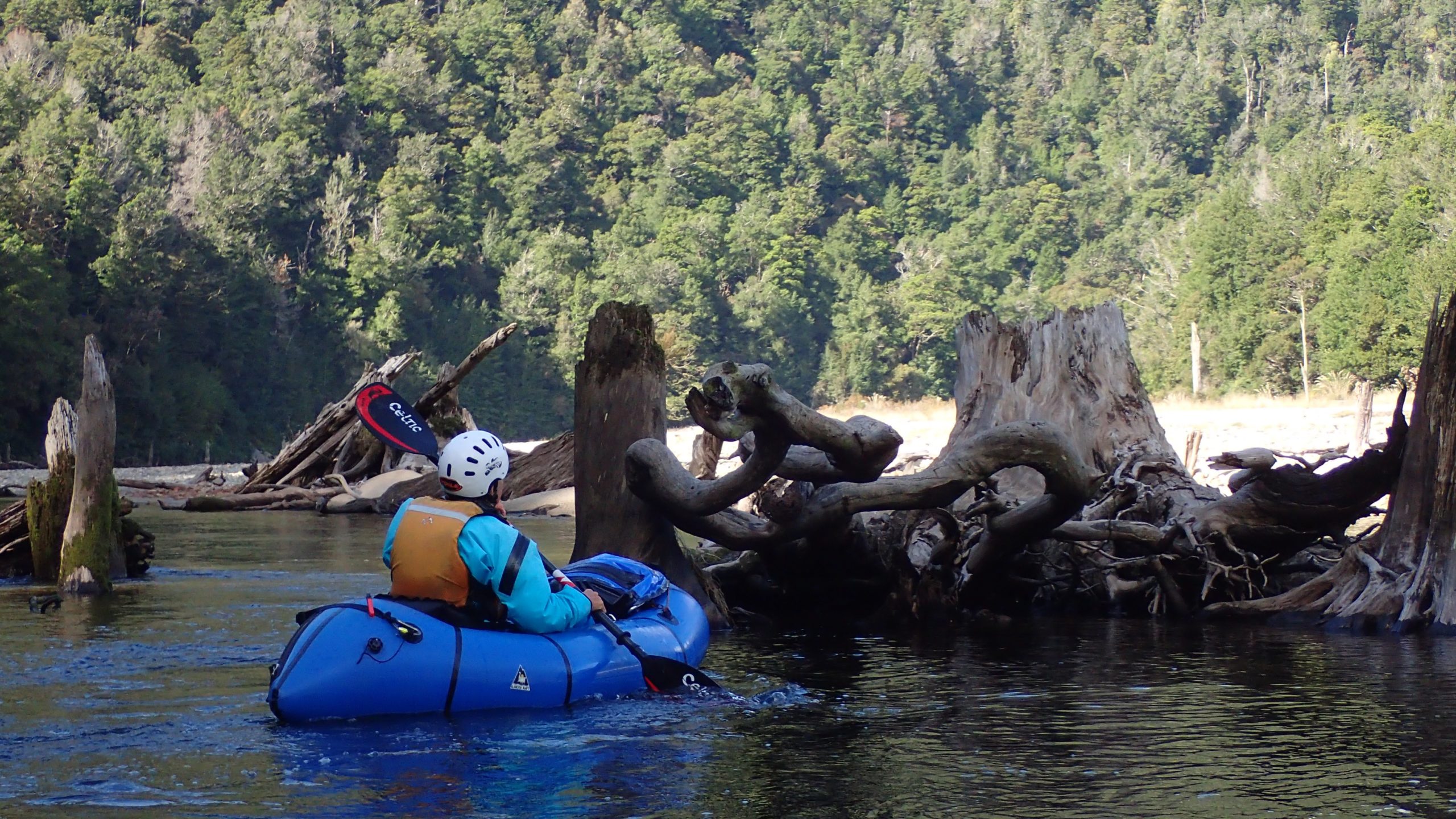
Major earthquake slips block the river. Two caused by the 1929 Murchison earthquake above Thor Hut and an older block up which created Roaring Lion rapid. Above the block-ups are lakes and while these give you more time to enjoy the landscapes, always in the back of your mind is that the river gradient must be maintained. Scouting the limestone block-ups is a good idea.
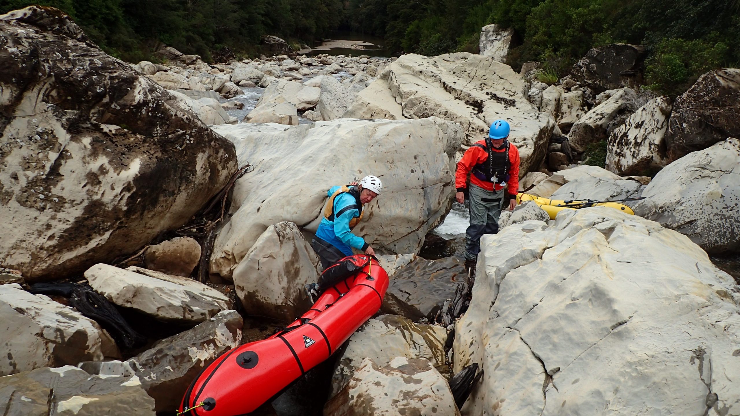
The two slips above Thor Hut have created two quite brutal portages, not long enough to deflate and walk around but long enough to be hard work. In my love-hate relationship with my TiZip, this is the hate part. Carrying boats fully loaded on the inside, over slippery, sharp limestone for hundreds of meters is hard work. This is when I miss my old-school packraft: slipping on the pack and carrying 4kg of mostly air is so much easier for longer portages.
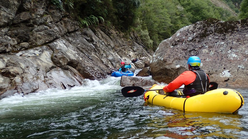
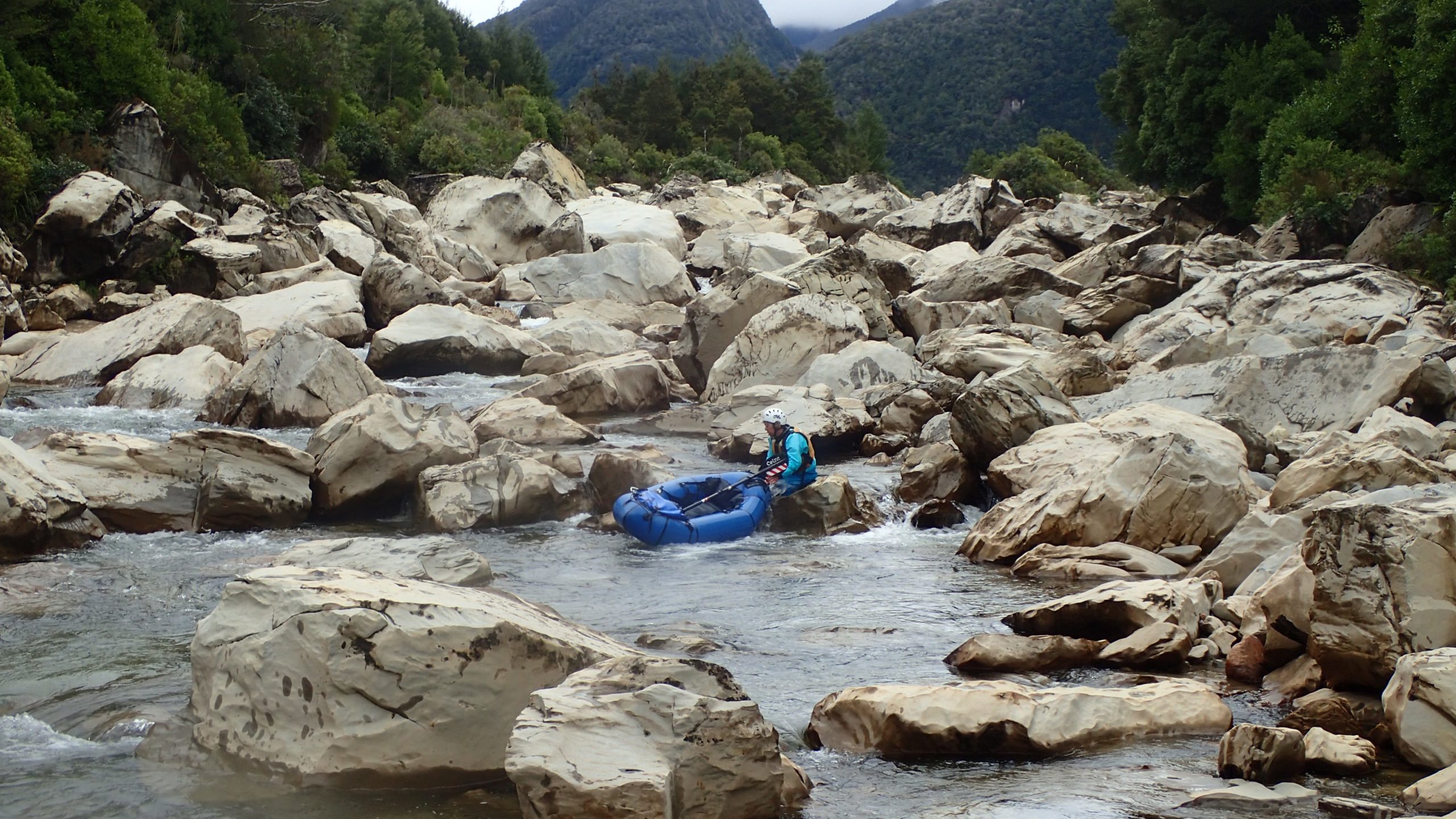
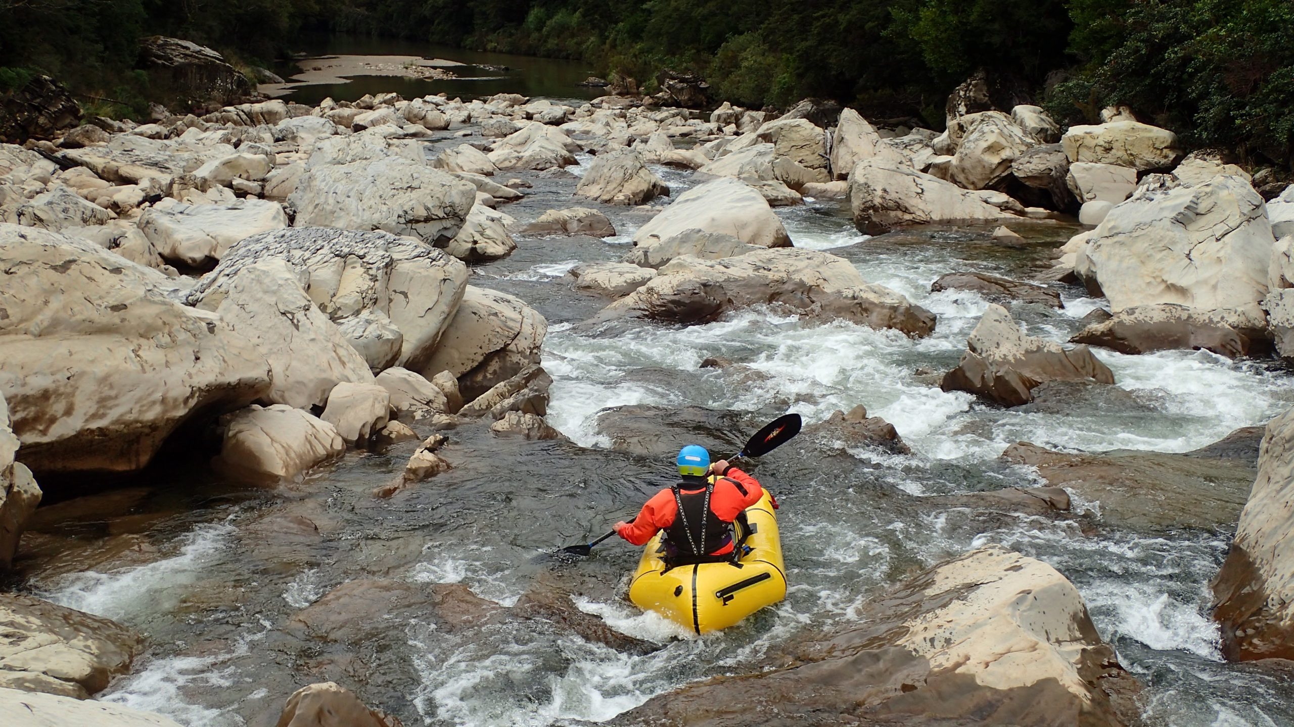
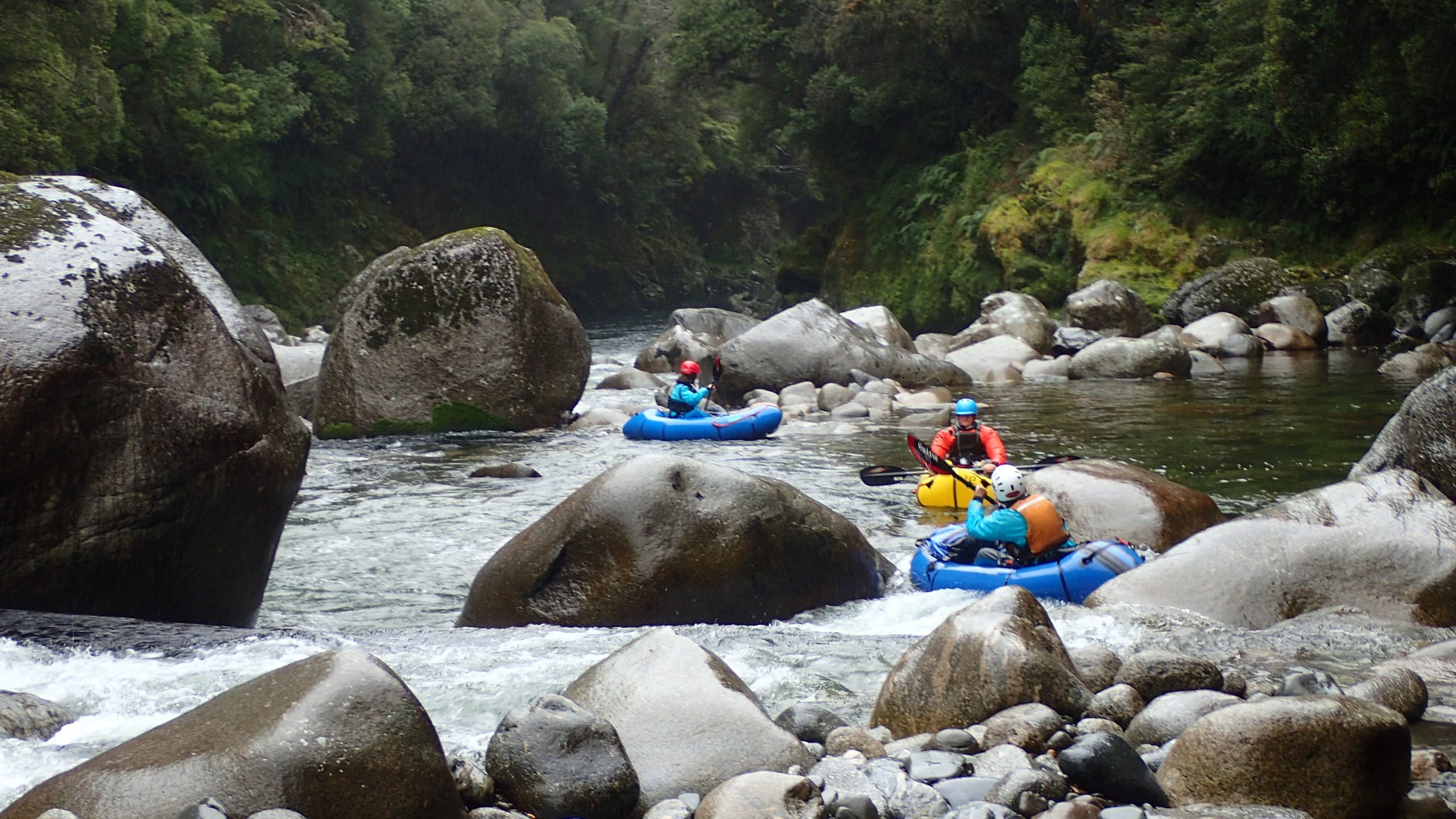
The whitewater in the granite sections is fairly continuous boat scoutable grade III, with the occasional surprise at the bottom. These sections are characterized by granite boulder gardens with some delightful little gorges along the way.
Liz and I hadn’t seen this many whio pairs in years, a reflection of the hard work DOC put in to reduce predators in the lower catchment.
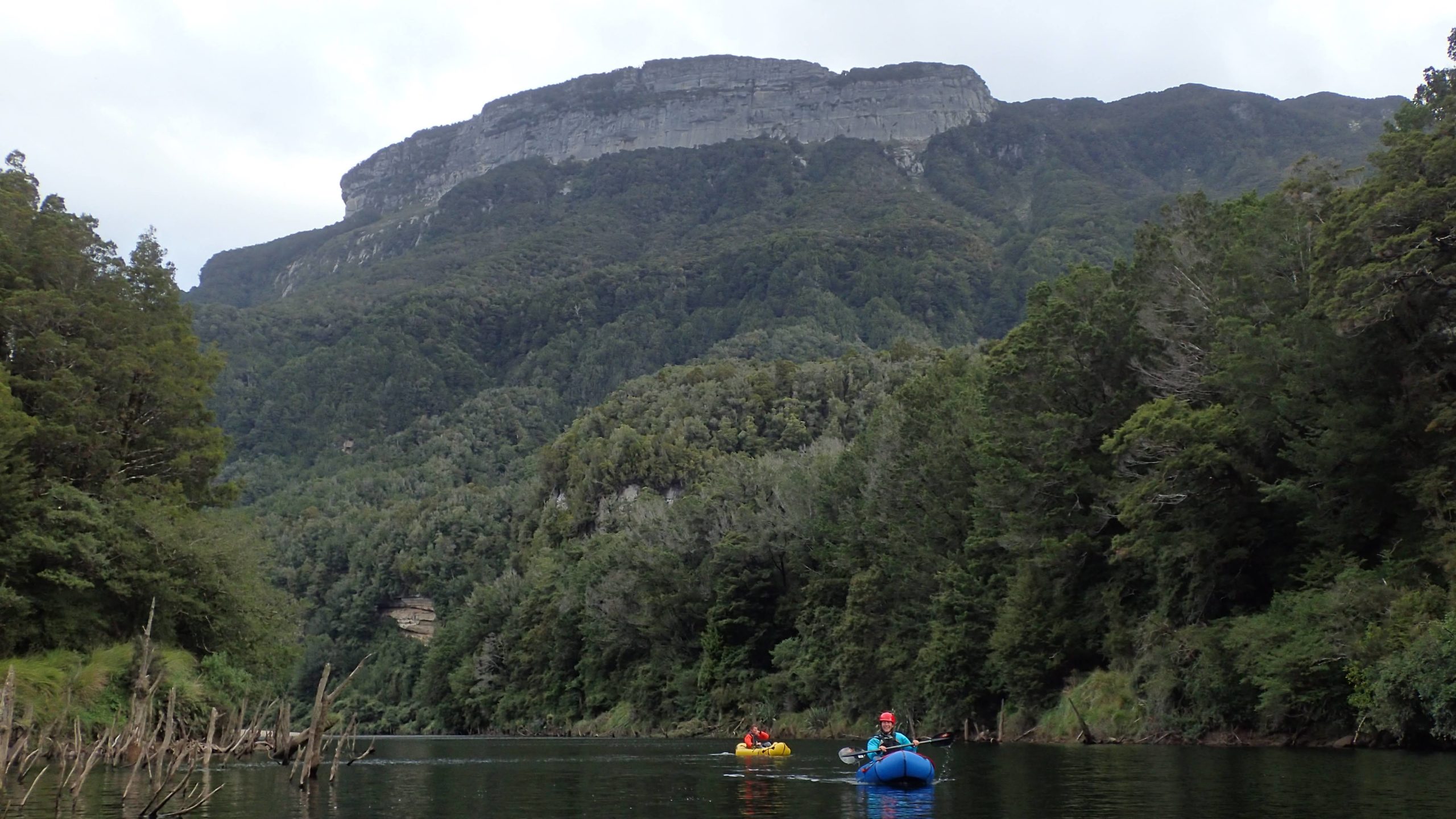
A major fixture of the landscape in the lower reaches is the Garibaldi Ridge with the Pyramid at the highest point. The ridge was slow to show itself with clouds and showers being part of nature’s own landscape reveal party. This limestone feature is largely unexplored, and we could see Neil eyeing up ditching the boat and going caving.
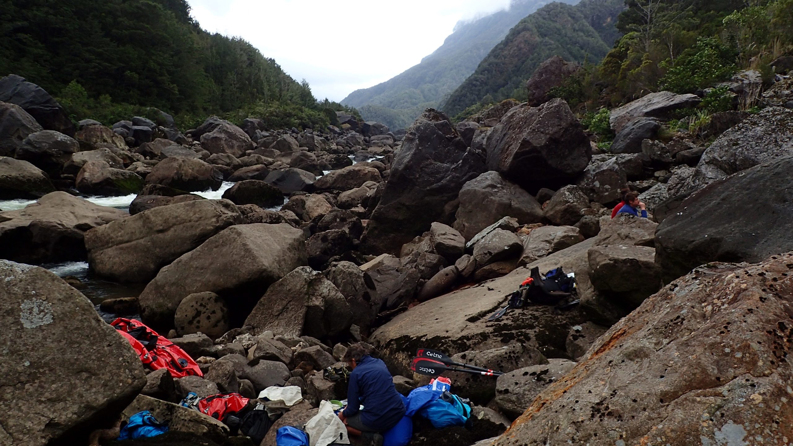
Below the long Roaring Lion block up (we portaged river left and deflated and packed our gear) the river grade and volume increased. Depending on your crew and the water levels, expect a number of portages as even the chicken runs can be gnarly.
This is when the love part of my relationship with my zipper kicks in. Having the extra weight and lower center of gravity really helps to maintain your line in bigger water and when punching through bigger features.
The Karamea River is remote and surprisingly not packrafted that often. From the hut books it looks like roughly one party a year paddle the Karamea. There are lots of options and side trips to explore.
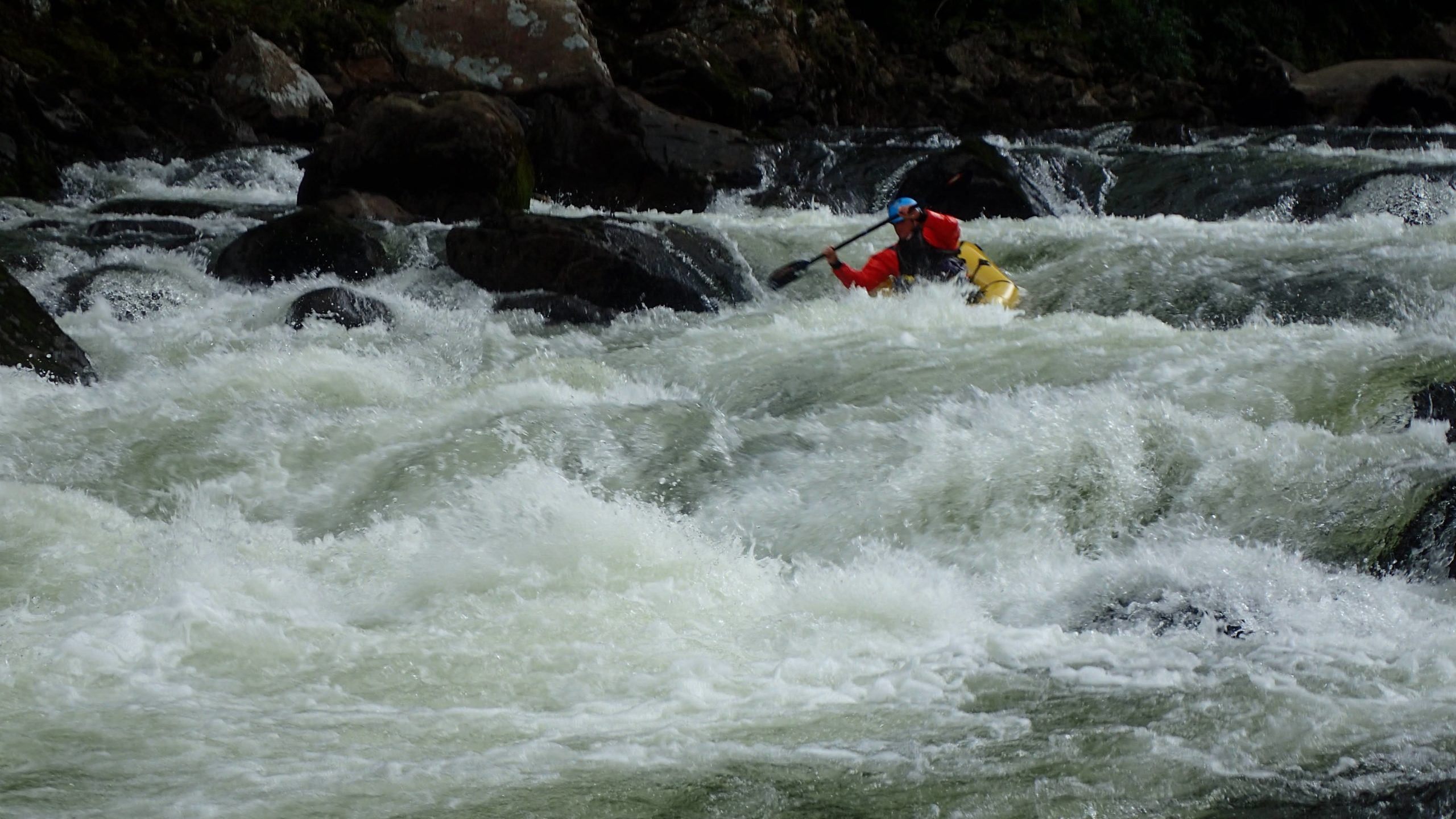
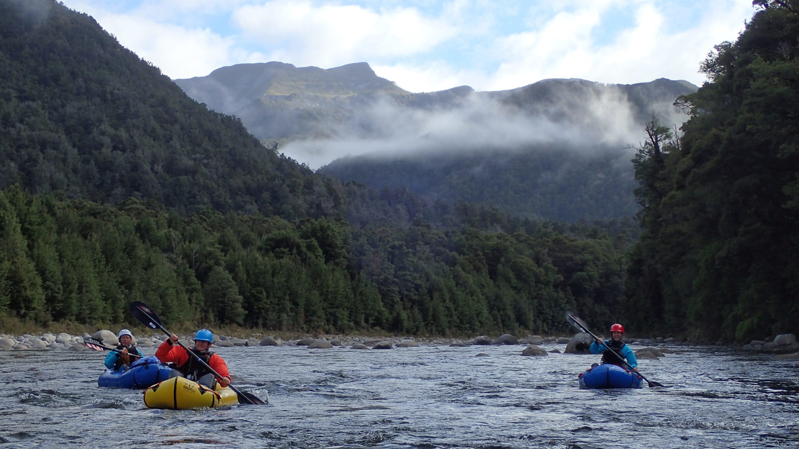
Scenes from the action…
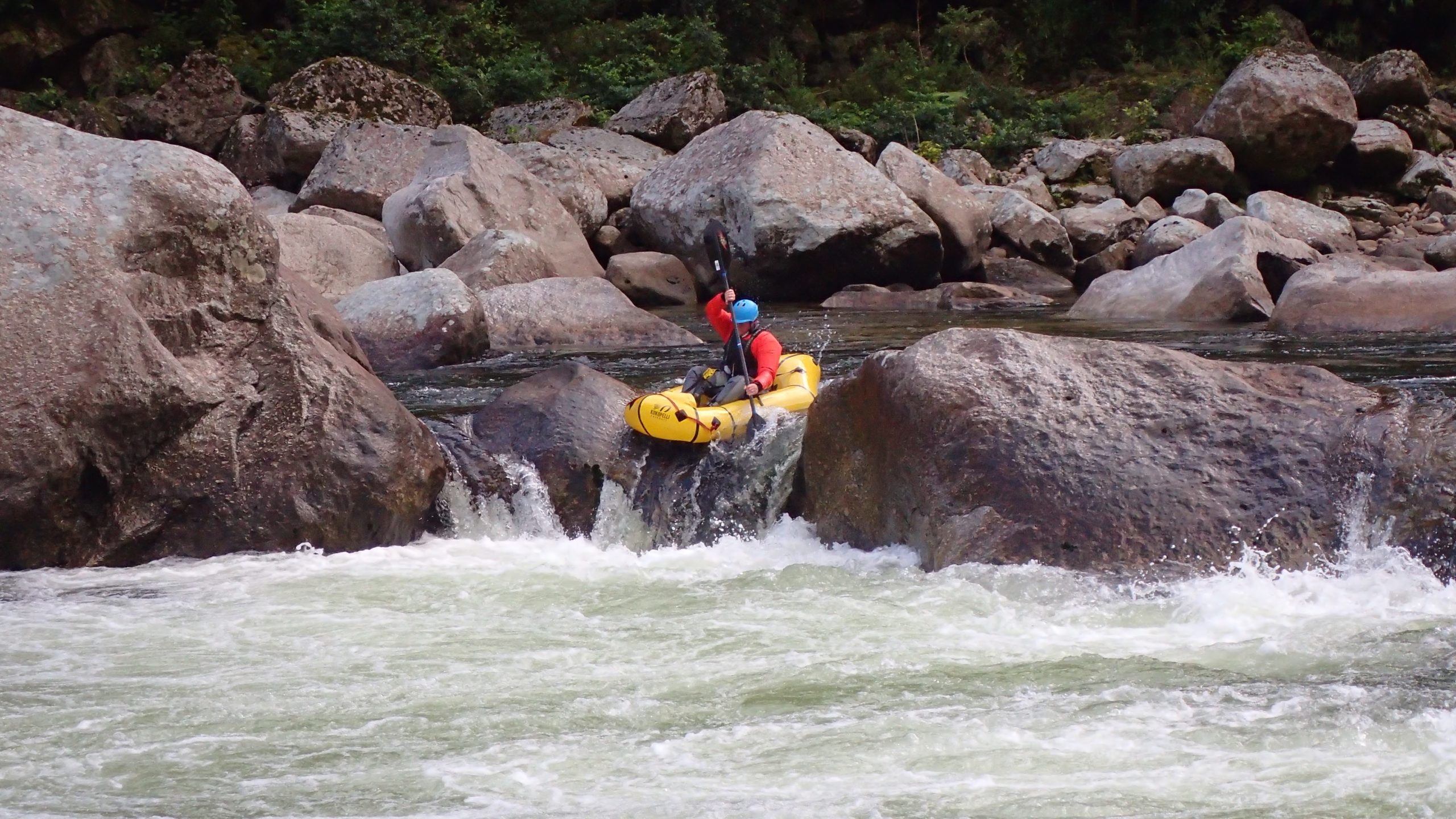
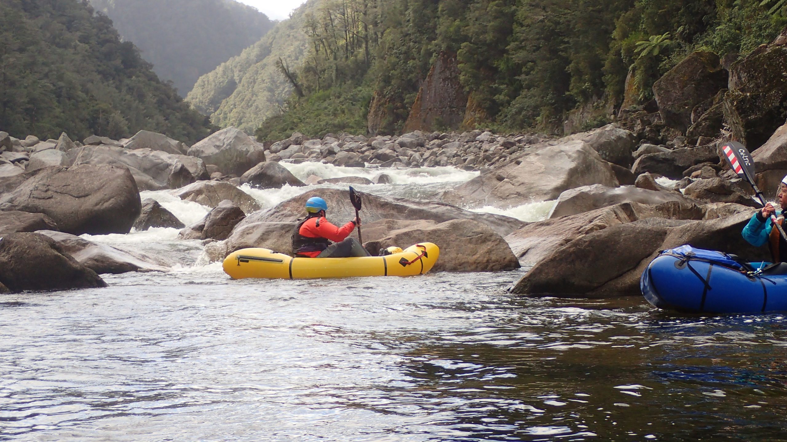
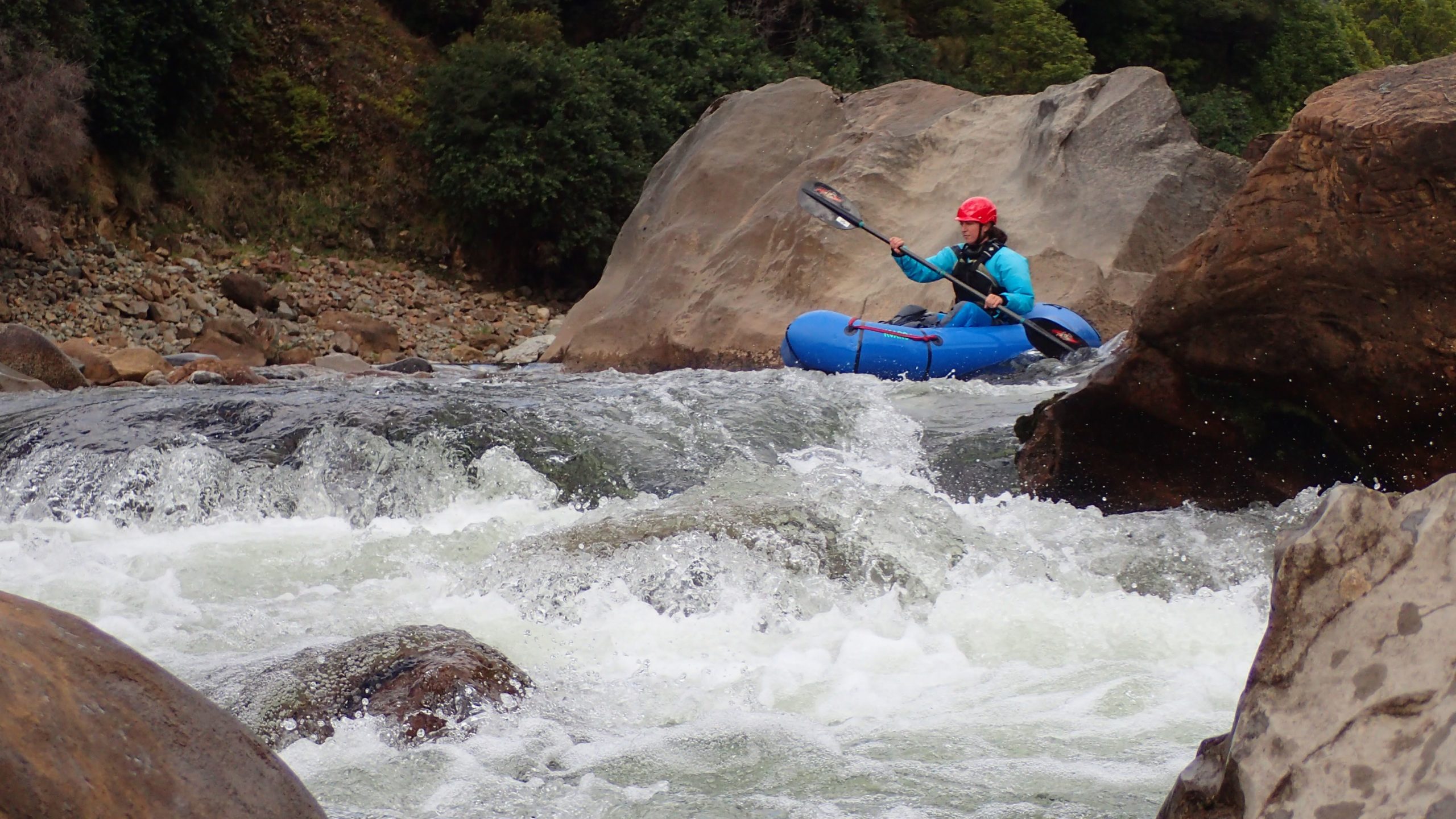
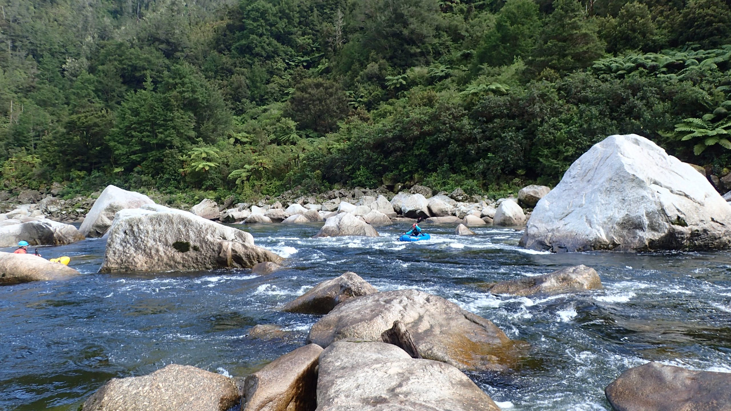
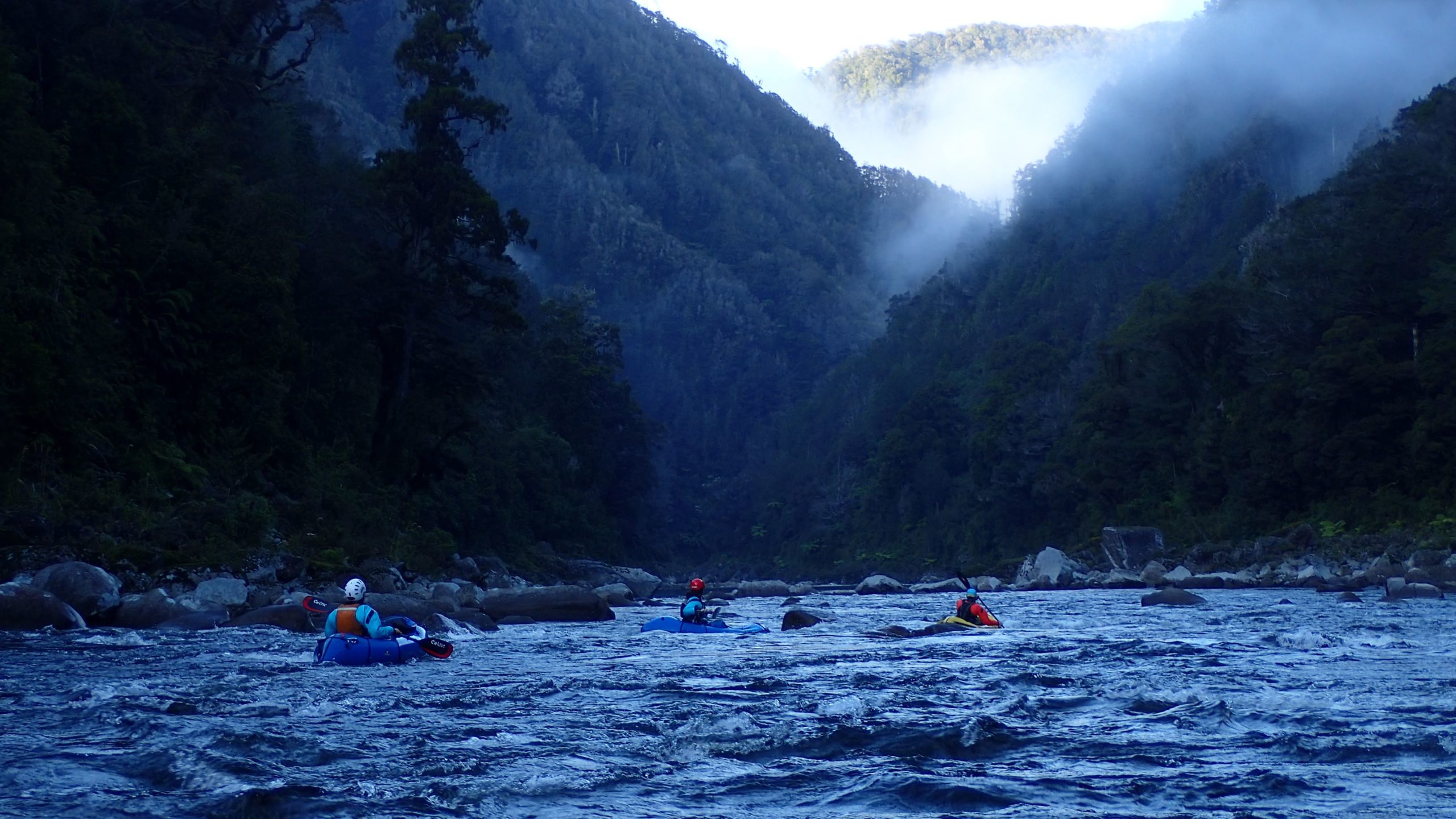
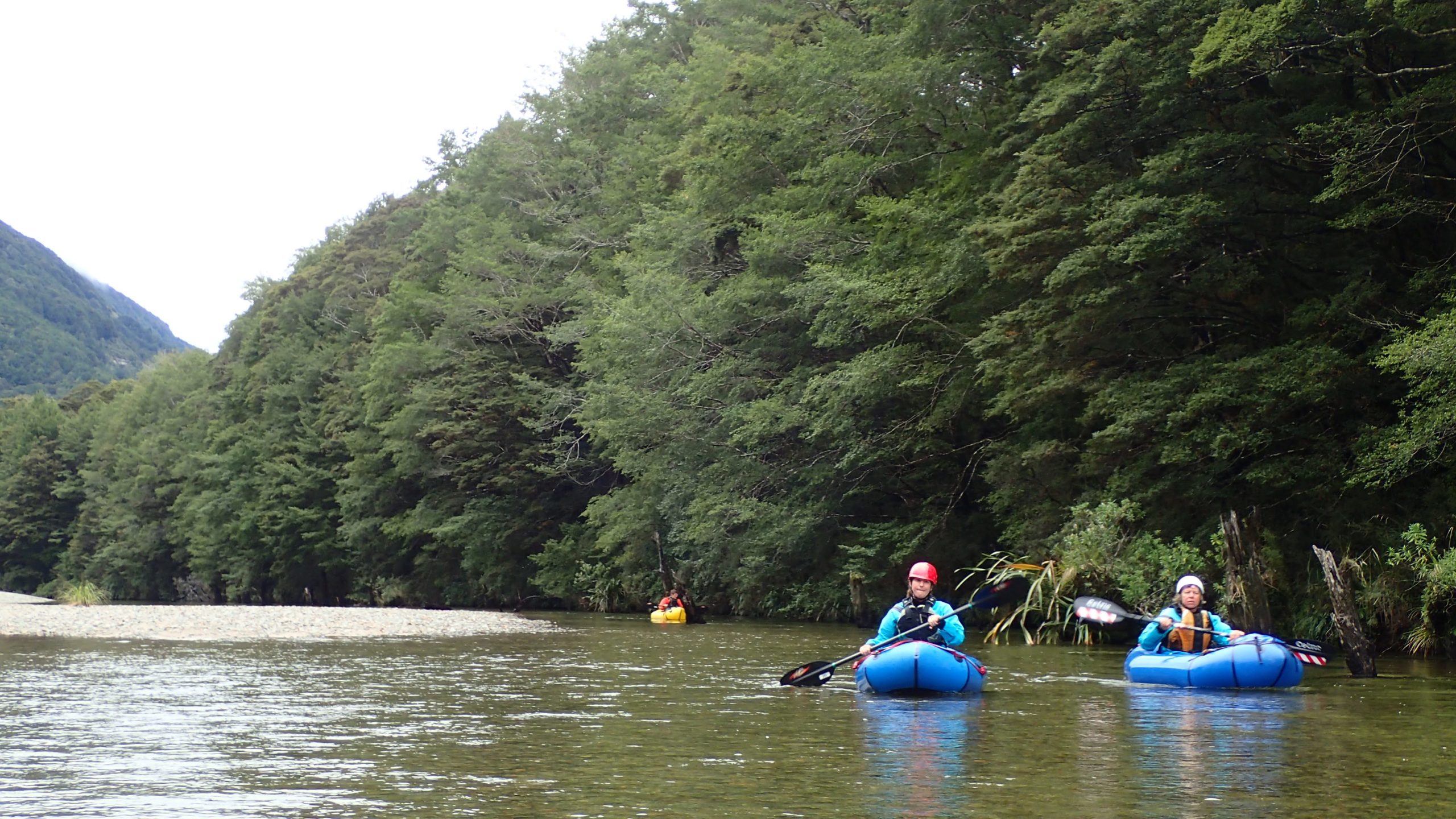
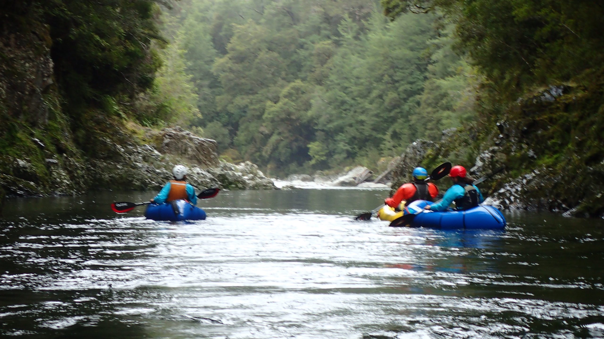
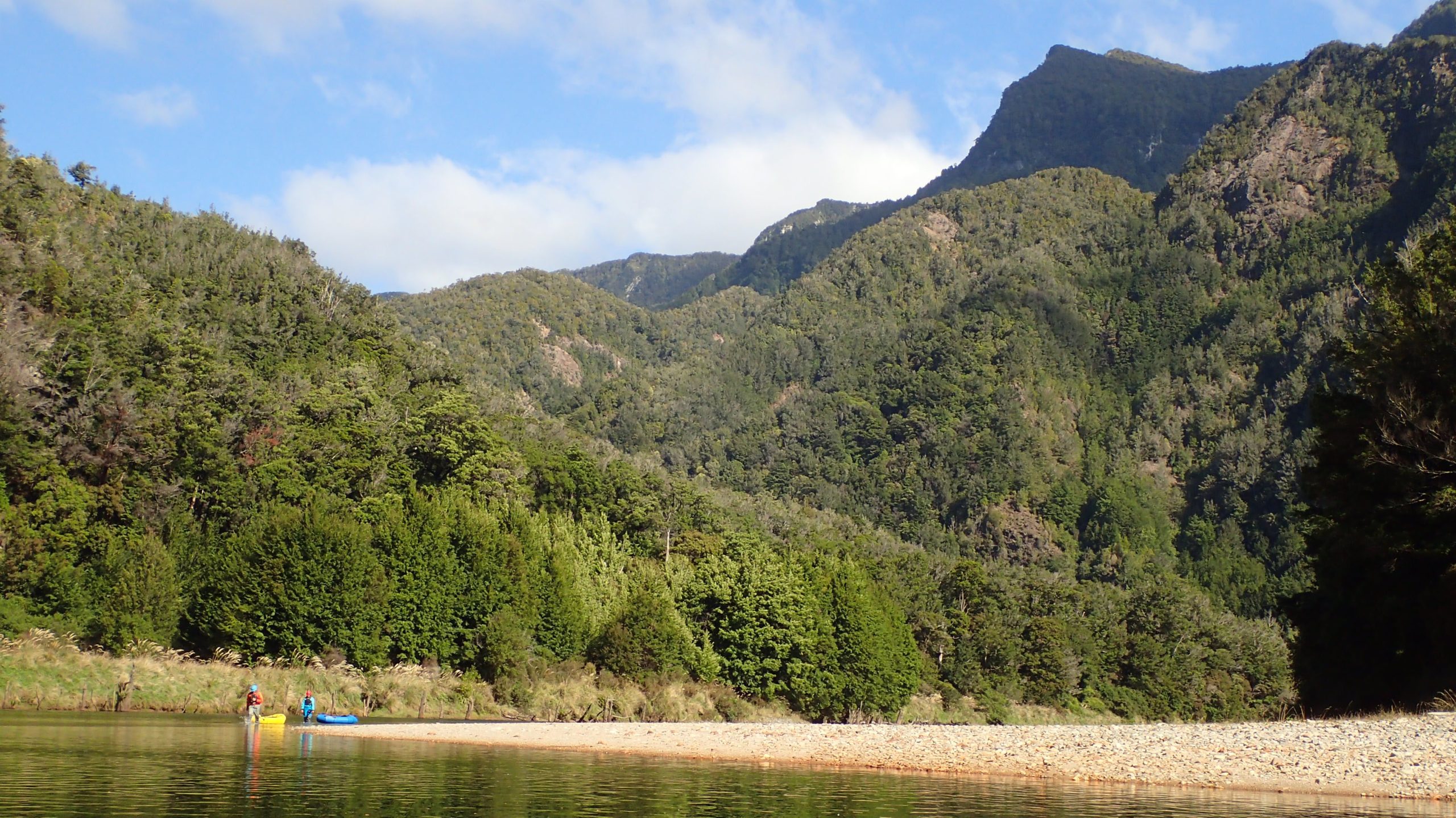
Scenes from the scenic…
The huts
Despite it being a reasonably remote area, I couldn’t get over the number of huts – a reflection of the old NZFS hut building competition with their national park rivals?
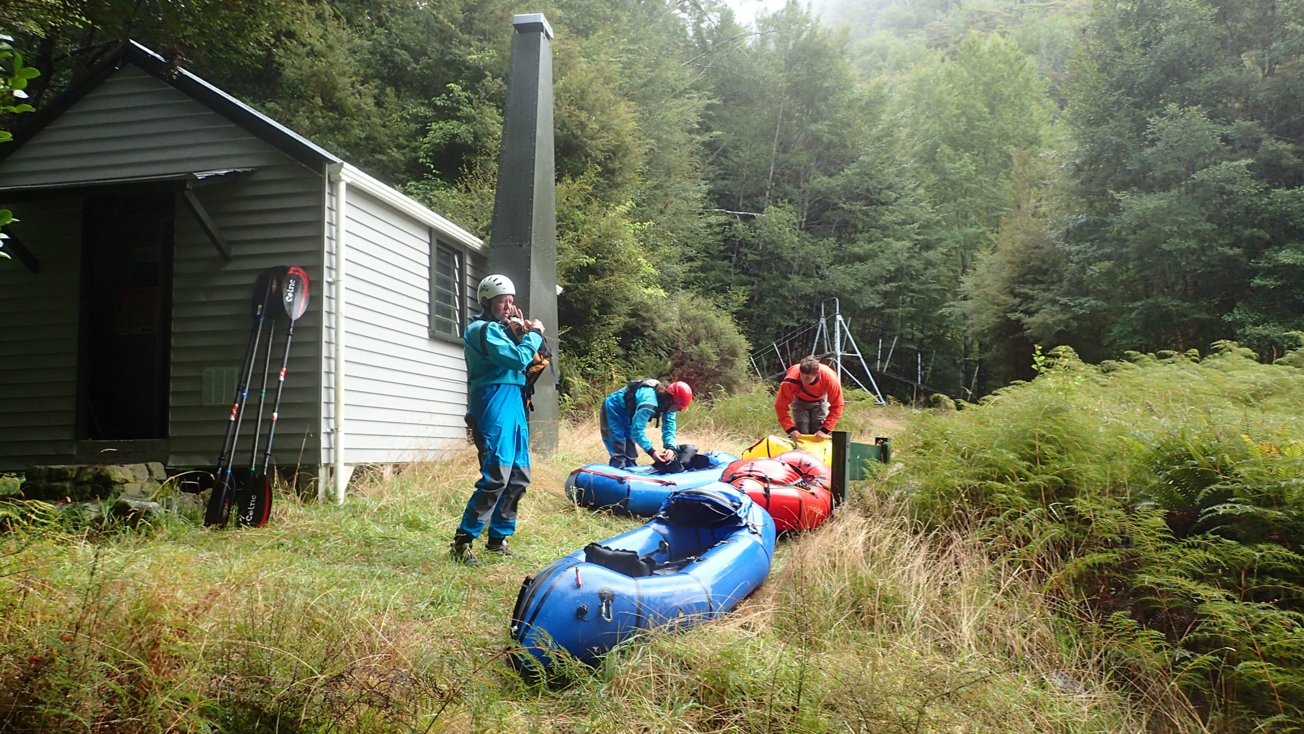
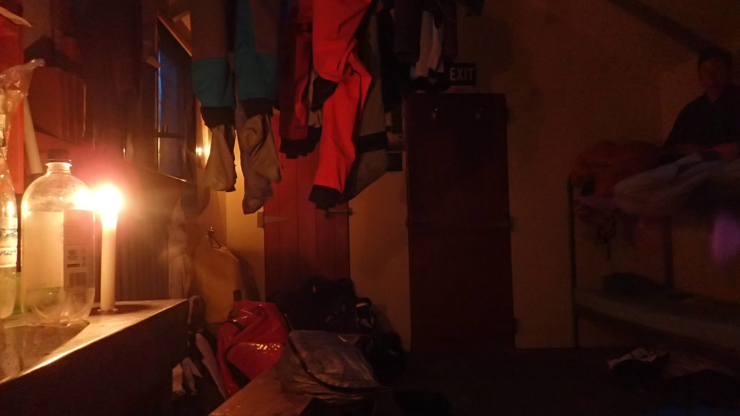
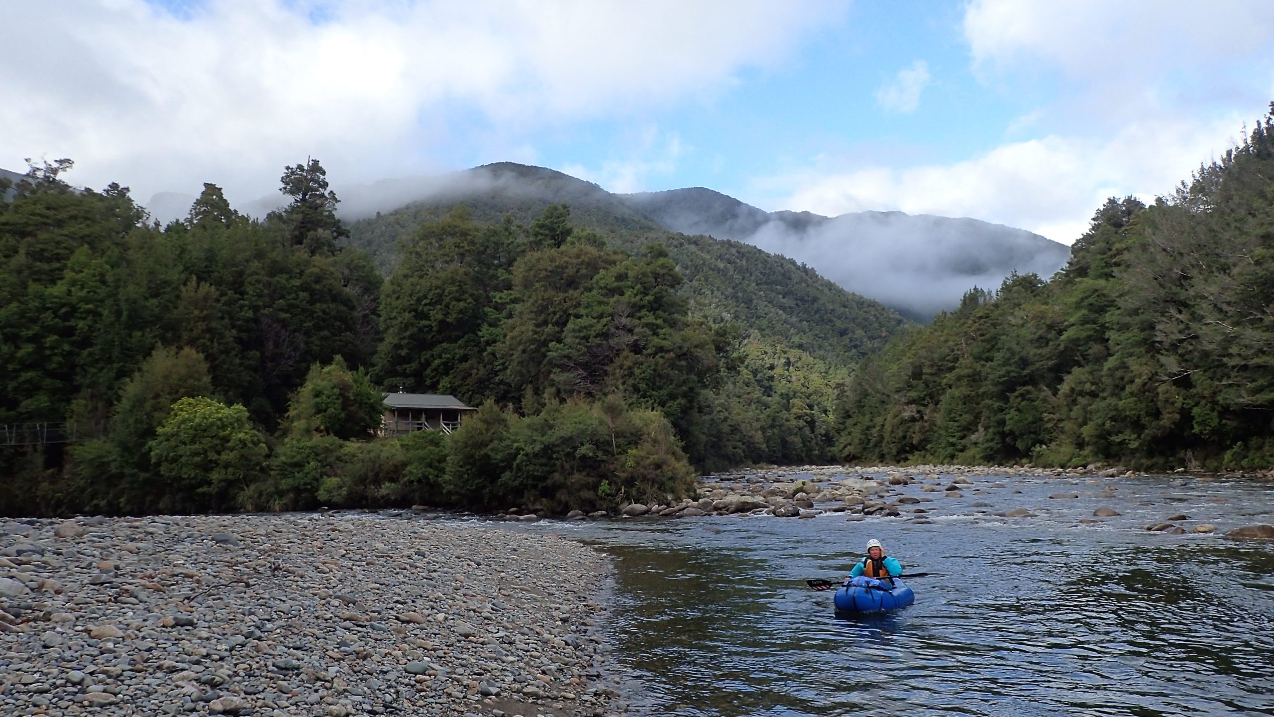
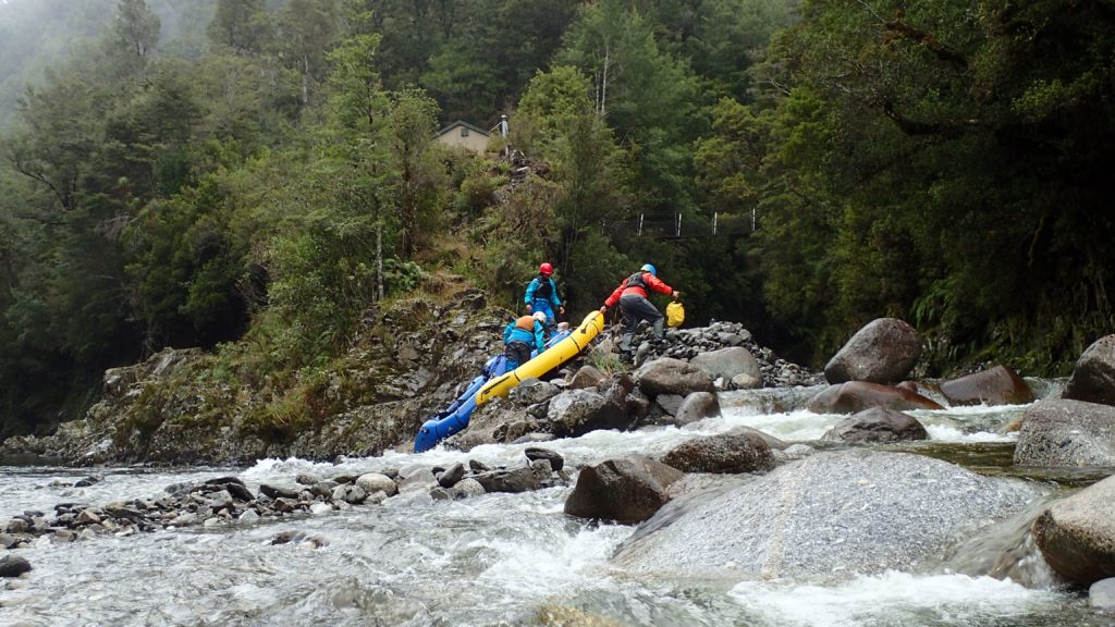
Across the six nights out we managed to stay in six huts Manunui, Taipo, Thor, Crow, Roaring Lion and Greys – and still we managed to paddle/walk past 4 huts. Even by NZ standards there seemed an abundance of huts.
The huts ranged from Thor Hut, which was an old-school NZFS six-bunker. These small huts were comfy but always came with a worry that they would be full of tramper and/or hunters. The more modern DOC huts were very luxurious and very empty.
Despite spending all nights in huts over the Easter period we saw nobody in the huts or on the river.
Thankfully Lauren had done a great job picking out our hut hops as we had no tent and had jettisoned the emergency fly to save weight.
Thanks to Neil and Lauren for sharing their knowledge of this stunning region with us.
Happy paddling.