





Notice to all paddlers
The Manganuioteao is a very special river to local iwi, and much of the land bordering the river is private land. In recent years, there have been disagreements and sometimes confrontation between paddlers and locals. To help preserve access, paddlers must respect the river environment, as well as the traditional and current owners of the adjoining lands. We’re asking that all paddlers:
- Respect the locals – have a friendly chat if you see people. Bring a koha (gift) like a box of beers or something, like you would when you’re visiting someone else’s house.
- If you experience any confrontation when paddling, record the evidence if you can do so safely, and withdraw from the situation. A GPS pin is also helpful. Contact the Police if necessary and advise WWNZ/FMC.
- Do not camp on private land – use the WAMS app to understand the location of private land. Use your GPS to confirm that you are on public land if you intend to camp.
- Pack out your sh!t. Even if you are on public land, bring a method of packing out human waste, rather than burying it. – see ‘Poo in a loo’ – DOC Website
Posted on behalf of Federated Mountain Clubs and Ruahine White Water Club
Last updated 5 December 2025
The Manganuioteao is tucked away between Raetahi and the Whanganui River. It’s a more interesting option than the Whanganui in a packraft, as it has some decent rapids over the first two-thirds of the trip, then you still get a taste of the famous Whanganui gorges.
Trout and Whio abound and the scenery ranges from bouldery mountain stream to Wanganui Canyon. The through trip is best done in 3 days, by overnighting at Ruatiti Domain and a second night at Ngaporo campsite on the Whanganui.
The Manganuioteao is one of the only sizeable rivers in the area where water is not harvested for the Tongaririo Power Scheme. It has been quietly famous for its Whio and trout fishery, and has also suffered from many different and confusing spellings on maps and literature over the years. Avoid annoying Whio in the late spring /early summer period.
View Larger Topographic Map
The Shuttle
This trip has a number of put-ins depending on the experience of the party. You can put in at the Hoihanga Bridge (III) or Ruatiti (II+) or Makakahi Bridge.
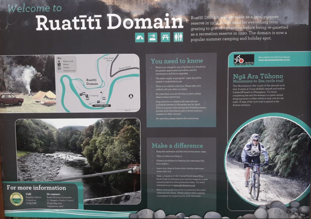
For vehicle security consider paying for a shuttle. Raetahi Camp Ground will run shuttles and this is the best way to do it as a multi day. The Ruatiti Domain is half an hour from Raetahi. Drive north from Raetahi on SH4 about 4km and follow the signs to Ruatiti.
To start at Ruatiti Domain head past Orautoha School and follow Ohura Road for just over four kilometers to the bridge at the Ruatiti domain (note- you will see some nice Class II+ from the road and probably start looking for a spot to turn around).
For the Pipiriki take-out return to Raetahi and then head west on Seddon Street which becomes Pipiriki-Raetahi Road it’s a little over half an hour from Raetahi.
On the Water
There are three sections of the trip, each with its own character.
- Hoihenga Bridge to Ruatiti Domain (III) 9km
- Ruatiti Domain to Whanganui Confluence (II+) 37km
- Whanganui to Pipiriki (I) 12km
Hoihenga Bridge to Ruatiti Domain (III)
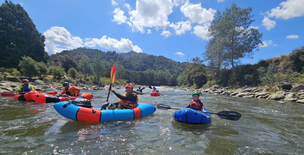
The Hoihenga Bridge to Ruatiti reach is 9 kilometres of Class III easing to Class II by the Ruatiti Domain.
If doing this as a multi-day trip, camp at Ruatiti Domain as there are no other options for the next 40km.
Ruatiti Domain to Whanganui confluence (II/II+)
From the Domain to the Makakahi Bridge (alternate put in/take out), there is 10 km of mainly Class II with some II+ and a portagegable III. There are also long flat sections (aka amazing trout pools).
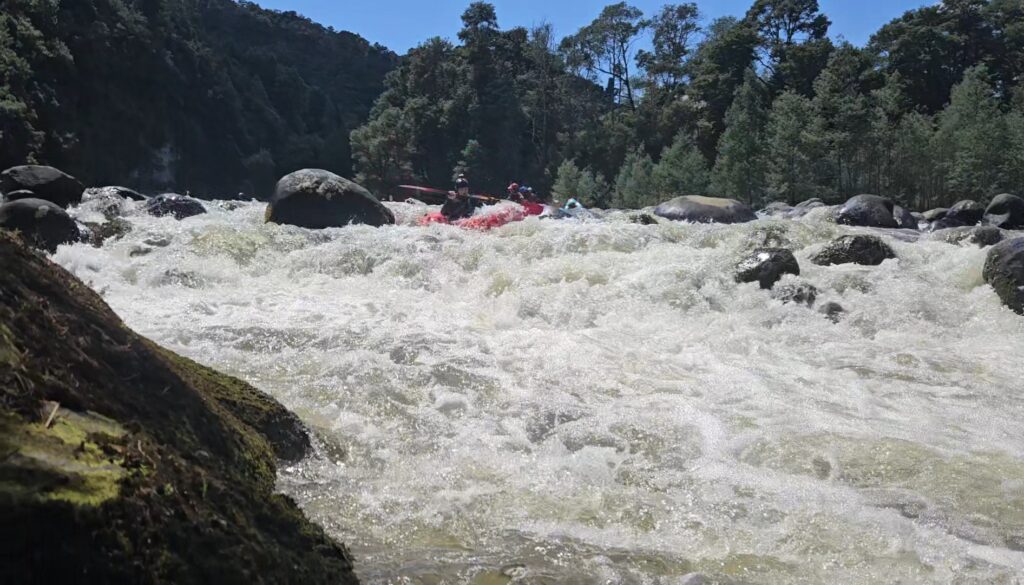
There is one Class III wall rapid about two thirds of the way down.
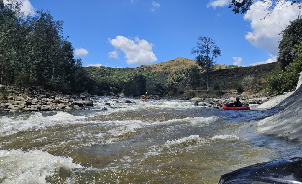
There are also some fun papa bedrock features.
Below the Makakahi Bridge there is 27km of increasingly slow and flat water. But there is still some good Class II. Remember, most of the land beyond the Ruatiti Domain esplanade reserve is private. For the last 3 km to the confluence with the Whanganui, the forest to the north (inaccessible from the river) is National Park.
Whanganui confluence to Pipiriki (I)
By the confluence the river is much like the Wanganui slow moving in a steep sided trench.
Another 3km down from the confluence is the Ngaporo campsite. Note this is a “Great Walk” campsite that must be booked from October to the end of April. Outside this period demand is lower and no booking is needed.
Paddle 9 km down to meet your shuttle at Pipiriki in the morning.
Gauge
There is no gauge so it’s a matter of assessing the upper Wanganui gauge or looking at recent rainfall on Ruapehu.
Mangawhero is to the south
https://envirodata.horizons.govt.nz/?siteName=Mangawhero%20at%20Ore%20Ore&collectionName=Flow
Whakapapa is to the north but the flow may be impacted by hydro water extraction.