


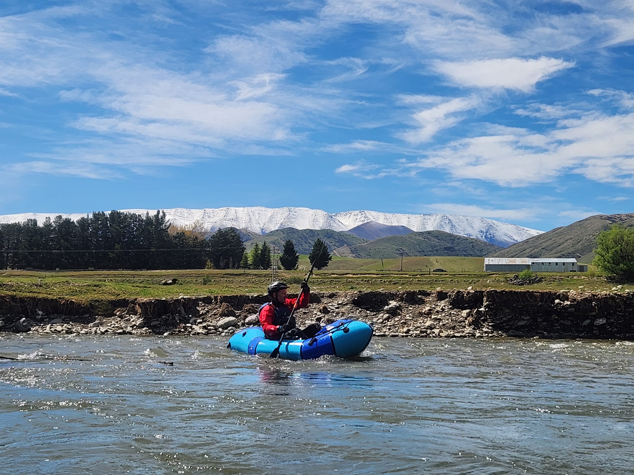
Fickle flows and lots of willows
The Lindis River is hidden in plain sight close to SH8, and drains the desert-like high country around the Lindis Pass. Too low to paddle most of the time, just after rain, the Lindis provides a delightful car-to-car day trip or an overnight paddle.
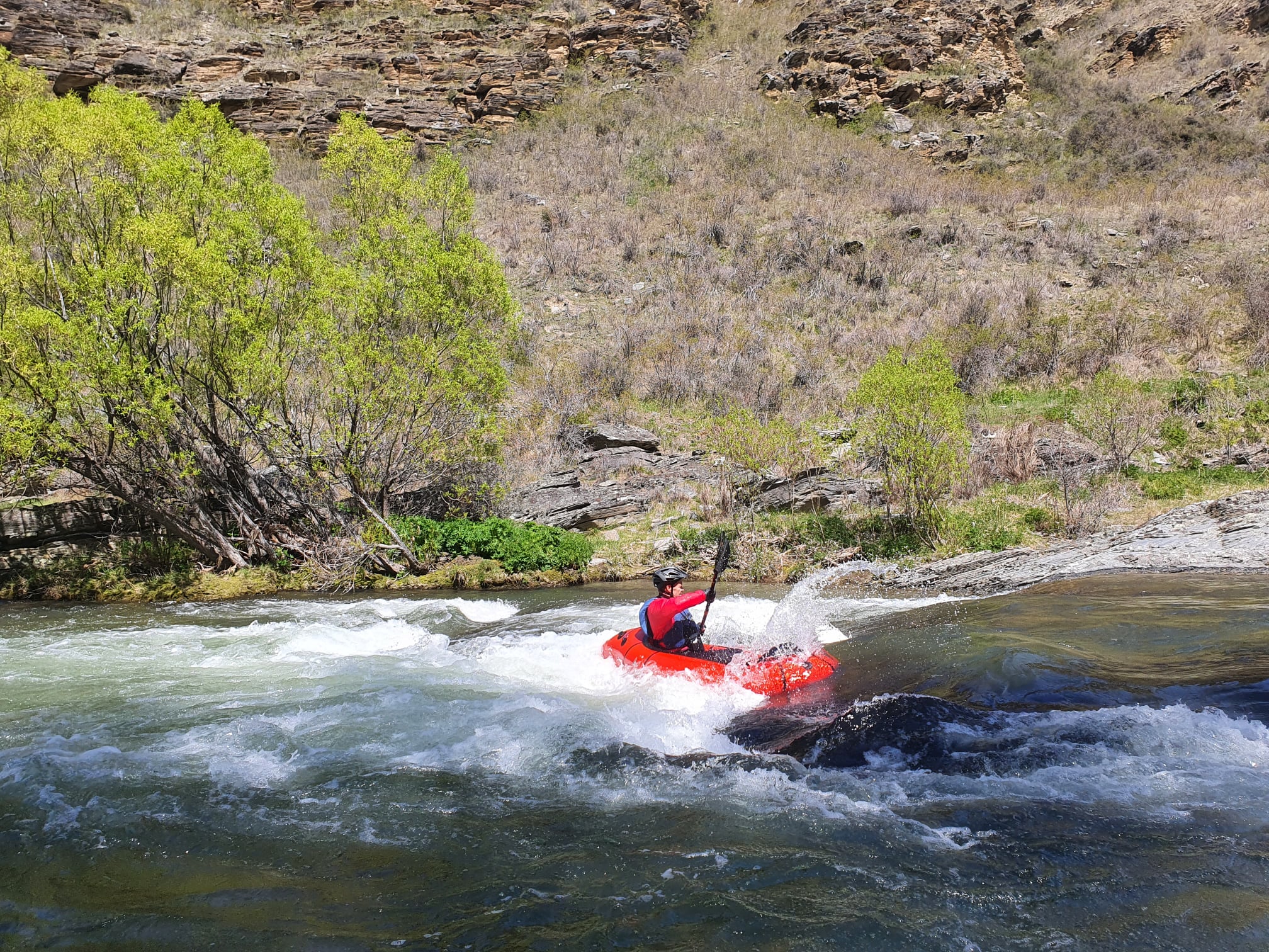
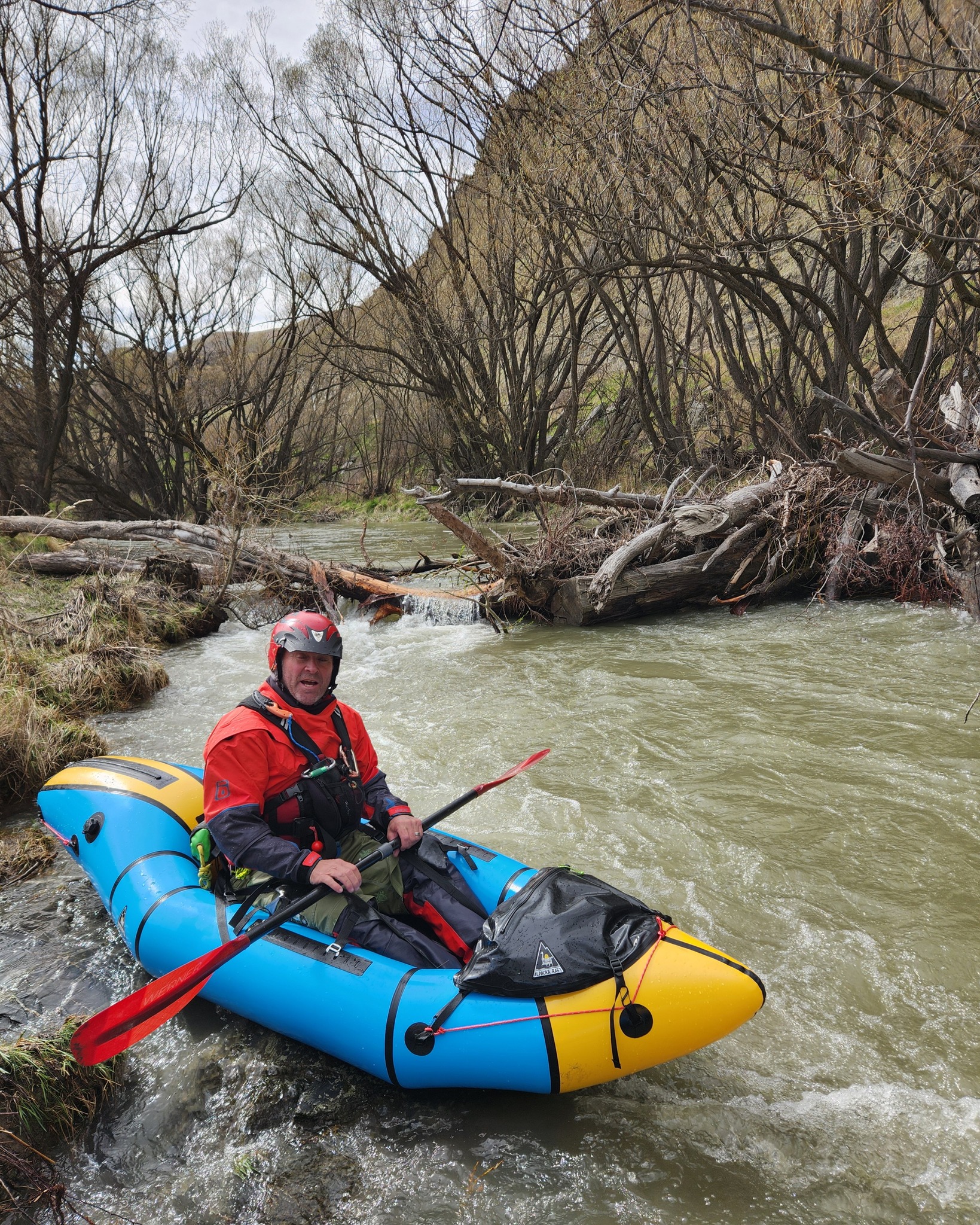
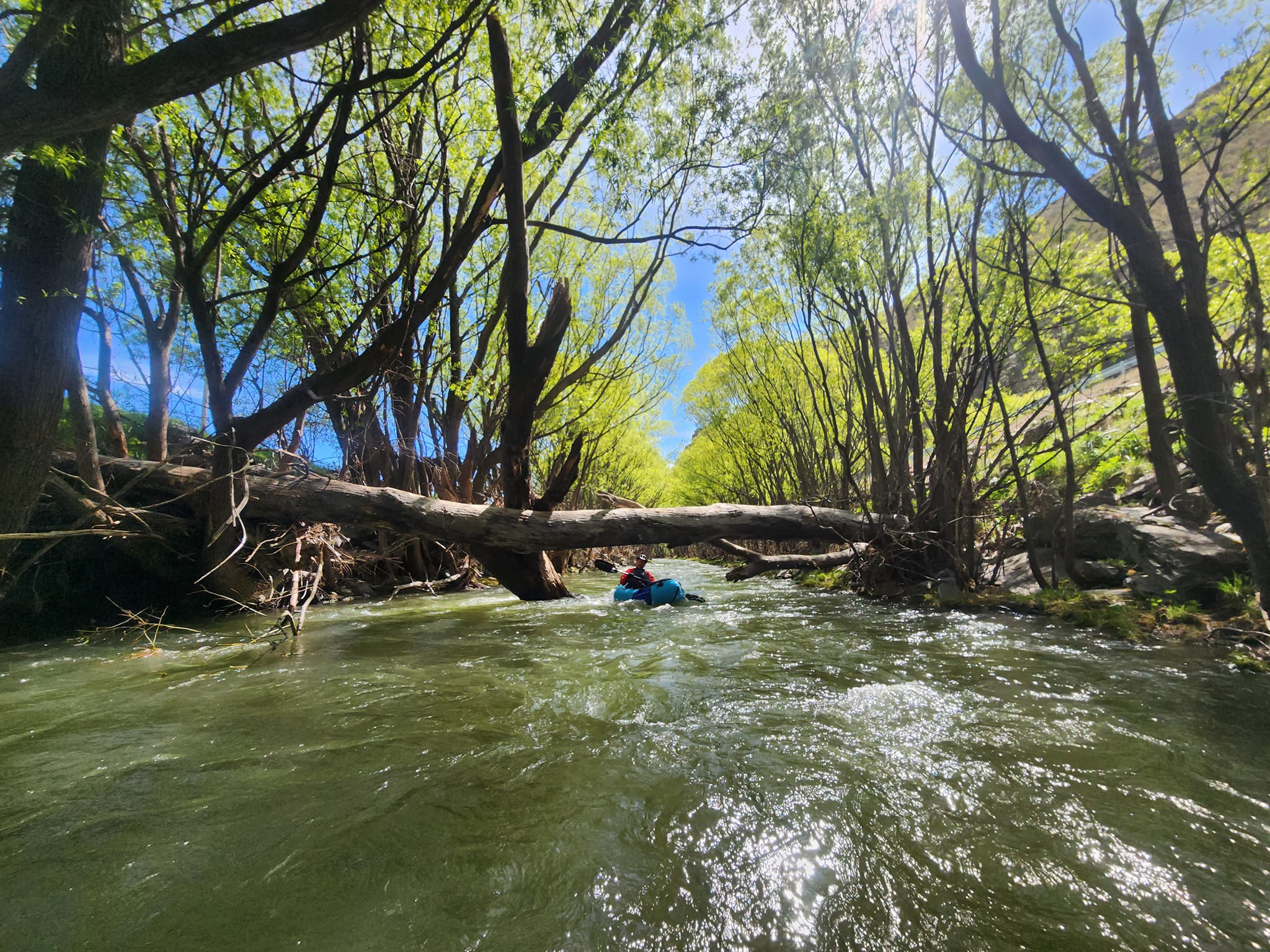
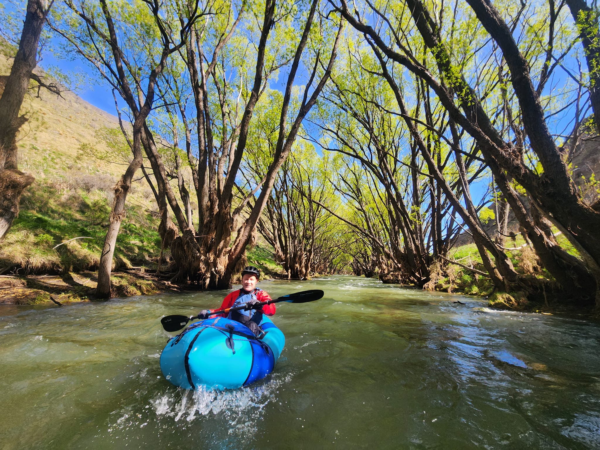
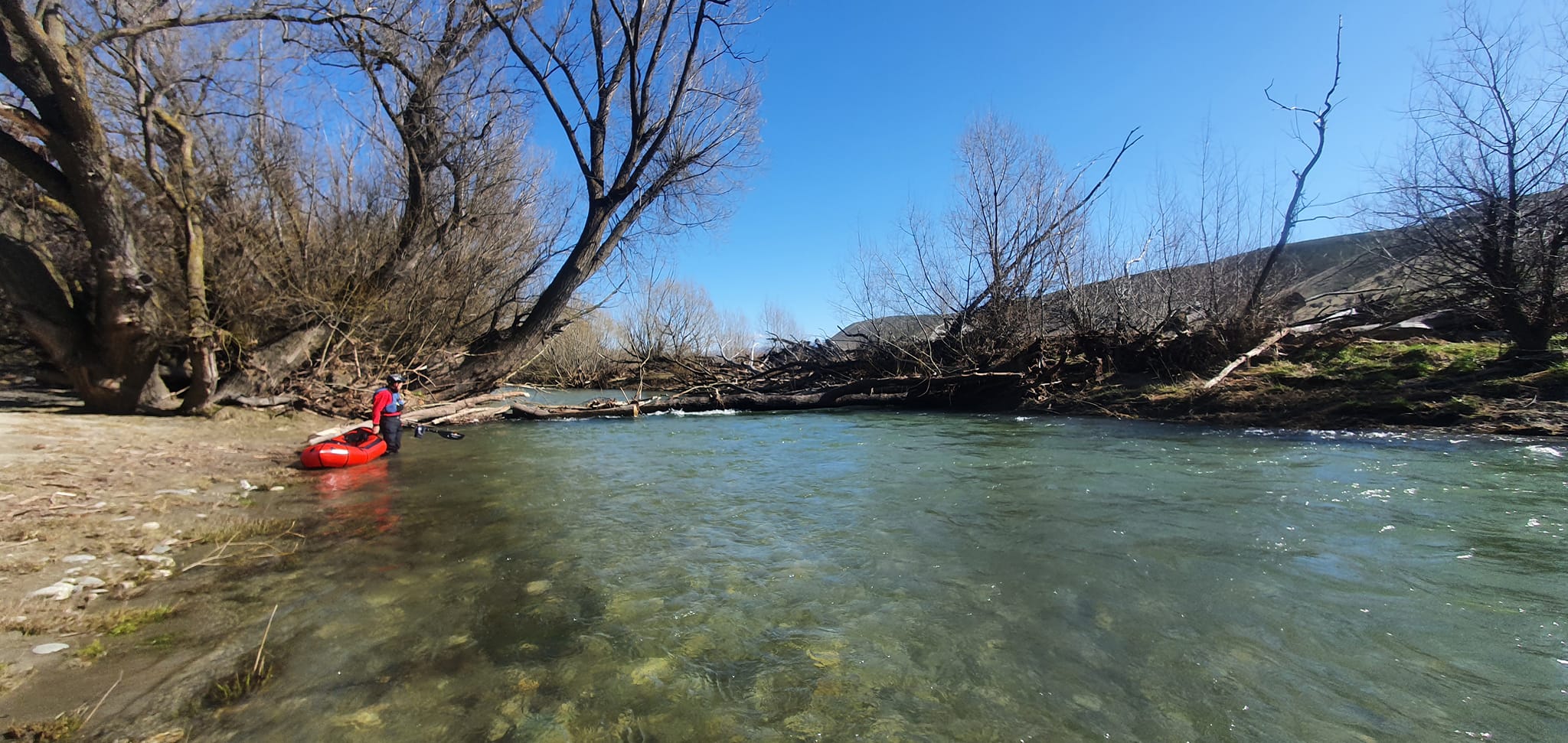
The river snakes through farmland, and has medium to large Willow trees lining its banks for erosion control. Although it is ‘only’ grade II+, in paddleable flows, it can feel fast; there aren’t many large eddies, and fallen trees create plenty of strainers and river-wide log dams.
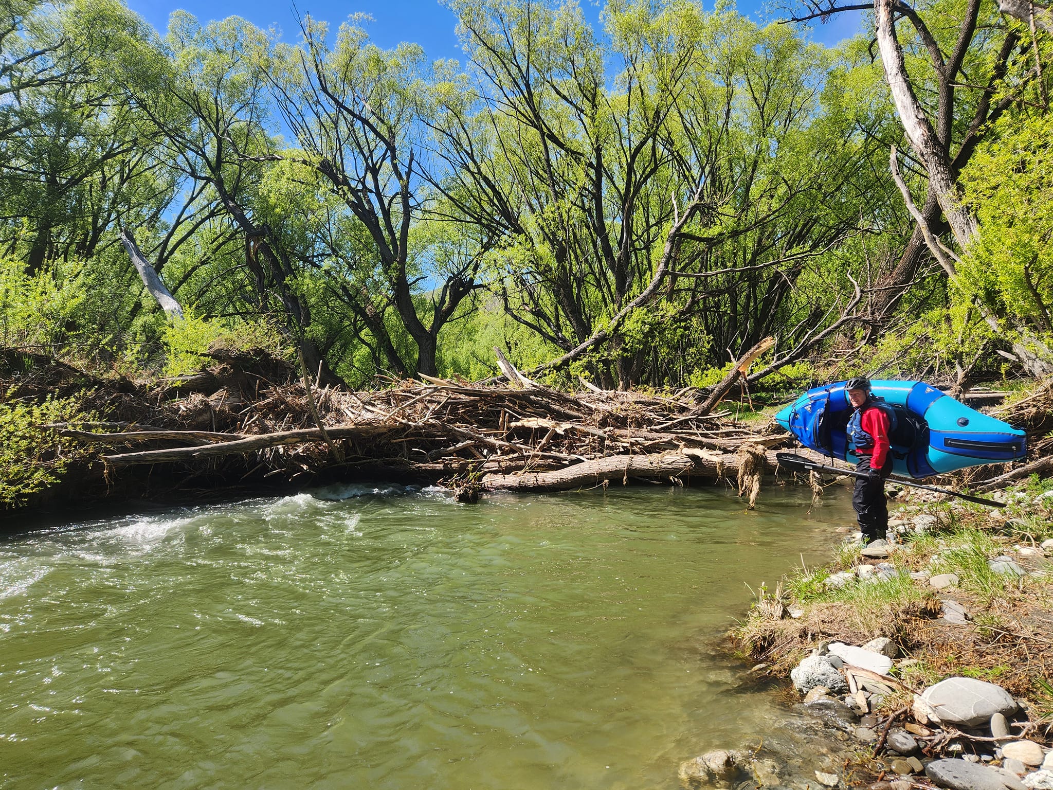
So even though the whitewater is relatively ‘easy’ it is not a beginner’s trip. Everyone in the group needs to keep an eagle-eye for hazards, and be able to reliably catch a micro-eddy and hop out with very short notice.
Thanks to Alan Swann for the info and pictures, plus Dan Clearwater for the write-up, maps and editing.
Gauge
Lindis at Lindis Peak – 10-15 cumecs is the recommended suitable range, with 12 the sweet spot.
Flow is critical for the Lindis. Although the catchment is a reasonable size, it’s so far east of the main divide that it doesn’t rain very frequently. You should be watching the rain forecast and the gauge, and be ready to take the opportunity when conditions line up. With spring snow melt, it takes a little less rain to hit the sweet spot, and probably holds water a bit longer than in summer.
For the photos in this trip report, the flow peaked at 29 cumecs the day prior to paddling, and was down to 15 the next morning. The group put on when the flow was about 12 cumecs.
River section overview & trip suggestions
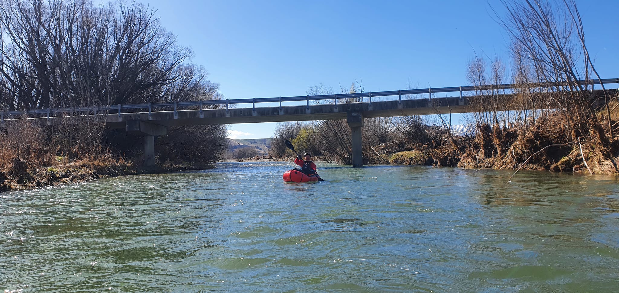
For the most part, the Lindis flows close to SH8, with several picnic areas, official camping spot, bridges and marginal strips providing many possible put-in and take-out spots. Study the Herenga a Nuku / Outdoor Access map for precise details of the public access points, and respect the adjacent farmland by keeping off it.
For the packrafter, we’ll suggest four sections from upper to lower. Each section has a slightly different general character.
- Dip Creek confluence to Black Bridge (I/II 9.6km ~2hrs @ 12 cumecs) – single channel, then more open with braids and rural backdrops
- Black Bridge to Elliotts Bridge (II+ 9.4km ~2hrs @ 12 cumecs) – the most interesting day trip, a narrow channel, minor gorges and the main rapids. Good campsites for a multi-day trip.
- Elliots to Cluden Creek Road (I/II 7.4km ~1.5hrs @ 12 cumecs) – sections of open braids and narrow channel, with some public land camping options.
- Cluden to Lindis Crossing (I/II 22.km ~ 3hrs @ 12 cumecs) – more ‘remote’ feel away from SH8 with steeper high country backdrops.
On the map below, look closely for small green lines indicating the river access points
View Larger Topographic Map
Which section should I do?
Each section is worth a paddle, but for those short on time, the Black Bridge to Elliotts Bridge section is a good half-day trip, with the most interesting paddling. For a longer day, you could continue to Cluden Creek Road.
The whole river from Dip Creek confluence to Lindis Crossing could be paddled comfortably in a weekend, with a camp on the Lindis Downs Conservation Area (public land).
Pre-trip indulgence
The Tarras Country Cafe has excellent food and coffee. At the time of writing, its hours were 9-3pm, 7 days a week. Plus there’s a card-operated petrol station in Tarras Village. Support local and the locals will support you!
Dip Creek confluence to Black Bridge (I/II 9.6km)
River access – Dip Creek: Park your car off the highway at a small layby near a gate. Walk through the gate and follow a vehicle track sharply to the left, down past bee hives to a small bridge over the Lindis River. This is legal walking access via a ‘formed and unformed legal road’
Paddling. It begins with a fairly open channel, often lined with willow trees. Beyond the ‘Forest Range’ SH8 bridge, the river widens out, with braids and more rural high country views.
River access – Black Bridge: Immediately before Black Bridge on the true right, there is a gravel beach. A vehicle track leads northwest towards the highway, to a gate and a small place to leave a car. Make sure you park clear of the gate, so farm vehicles can still get through. This river access is legal walking access via a ‘formed and unformed legal road’.
Black Bridge to Elliotts Bridge (II+ 9.4km)
River access – Black Bridge: see above.
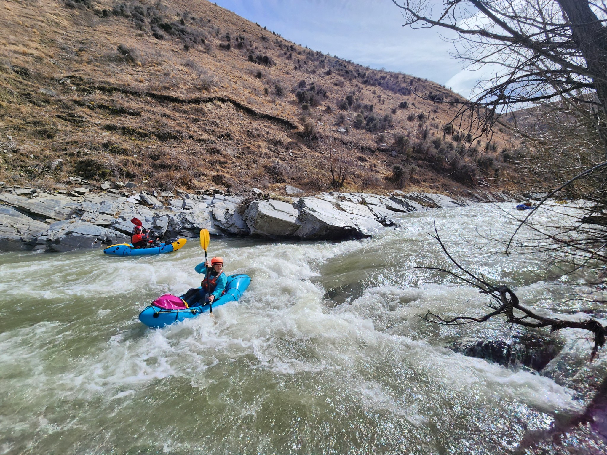
Paddling: About halfway to the Camp Creek confluence, the river narrows to its skinniest point, with a few stopper waves and minor rapids. There’s a few rapids after Camp Creek.
Keep your eyes peeled for the ‘Derelict Hut’ marked on the map.
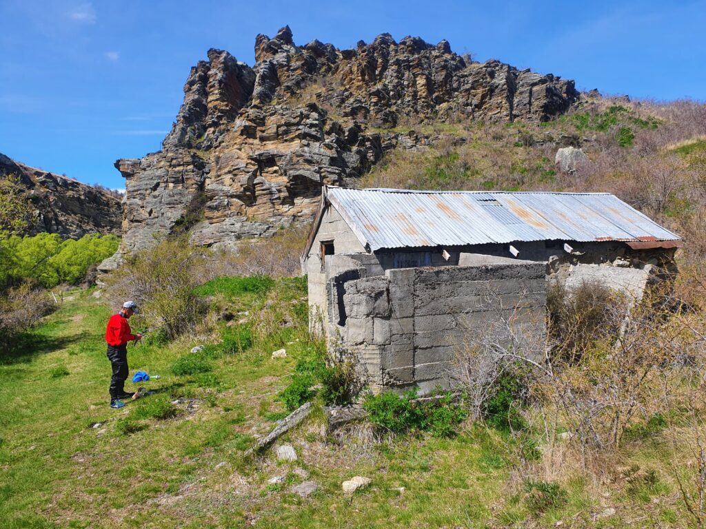
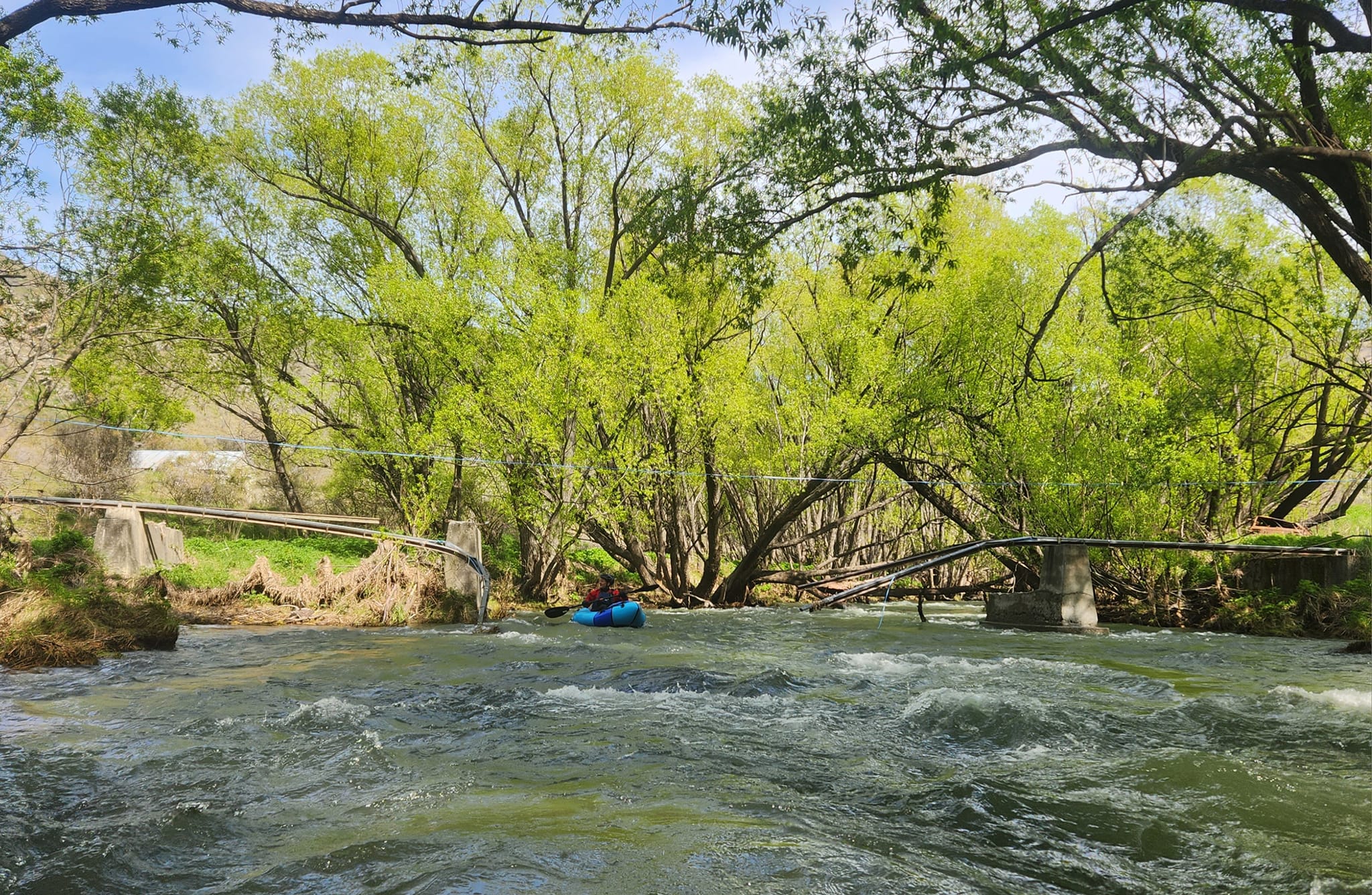
Its a good idea to get out here – the hut is worth a look, but also its a chance to scout for hazards. Nearby, there are remains of an old bridge, with some iron girders and potential for other debris in the river.
The crux rapid of the river is just after the Lindis Hotel camping area. In higher flows, this might just nudge III- with a bit of cross-current maneuvering needed for a successful line. Portage around if you need to!
There are a few access points – some are easier to spot from the river than others! If you’re leaving a car for a take out, make sure you note what it looks like from the rivers edge!
River access – Lindis Hotel Campsite. Easily accessible at the end of Old Failthful Road.
River access – Geordie Hill Campsite. Signposted on SH8. Lots of parking
River access – lower Goodger Flat picnic area. Just before the valley narrows again. Lots of parking.
River access – Elliotts Bridge. Immediately upstream of the bridge on the true right. Limited parking, just off Old Faithful Road.
Elliotts Bridge to Cluden Creek Road (I/II 7.4km)
River access – Elliotts Bridge: see above.
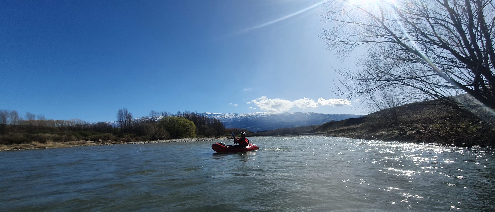
Paddling: The river widens again, with more farmland and views of the St Bathan Range . Further on, there are still plenty of trees lining the banks.
Camping: The Herenga a Nuku / Outdoor Access map shows the locations of the Lindis Downs Conservation Area, on the true right. There are plenty of spots where you could camp – use your GPS to confirm your location is inside the public land! Because of the amount of farming in the catchment, its recommended to boil, filter or chemically treat your drinking water. Or, since you don’t really have to walk on this trip, a bladder of town water could be another option.
River access – Cluden Creek Road ford. From the highway, drive down Cluden Creek Road, and take the main (north) fork. Cross the bridge, then a few hundred meters further, there is a large parking area on the true left. From the river, once you go under the bridge, look for the ford and take out on the left.
Cluden Creek Road to Lindis Crossing (I/II 22km)
River access – Cluden Creek Road ford : see above.
Paddling: With the highway leaving the river, this section has a slightly more remote feel. The paddling is similar character, alternating between narrower sections and more open parts. The river tends to stick to one channel, even though it looks braided on the maps and satellite imagery. Still, it’s better to have the river near the upper end of the recommended range, or you might be scraping and dragging in the wider parts.
River access – Ardgour Road bridge: Take out on the true right, just after the bridge. There is very limited parking on the side of Ardgour Road.
River access – Lindis Crossing: A fairly large and obvious car camping zone surrounds the bridge. Take out river left, just before the bridge.