


A simple, short day trip in a beautiful valley. The Middle flats run is a great trip for beginning packrafters, even after rain.
But, there are still hazards to be avoided, and the river still needs to be treated with respect: we’re observing more folks in the valley who don’t seem to have enough basic awareness of river hazards, and the techniques needed to keep yourself and your group safe.
We strongly recommend all new packrafters take an introductory skills and safety course – you’ll be amazed at what you learn, and what you didn’t know… Or if time is short, consider joining a guided trip – you’ll still learn heaps, under the watchful care of a professional.
Packrafting Queenstown runs regular instructional courses, as well as beginner guided trips to the Rees, Matukituki plus more challenging rivers for more experienced packrafters.
Warning!
Rees Valley road damaged by the October 2025 storm events
The road into the Rees Valley has been significantly damaged – we’re waiting on further info for exactly where the damage is. The river below Muddy Creek has changed significantly – the river above appears to have fewer changes. Treat the descriptions below with a grain of salt until we can get more updates. Also expect the changes to keep changing as the river settles into the ‘next normal’. – Last updated 27 Oct 2025.
View Larger Topographic Map
About the Rees Valley
It’s important to remember that just about all of the land you can see from the valley is Rees Valley Station. Although the famous “Rees/Dart” track is marked on the map and gets used by hundreds (thousands?) of trampers and climbers bound for Mt Earnslaw, the adjacent land is all private farmland.
This means that it is important to stick to the track, avoid disturbing any stock you might find, and if you are thinking of driving your 4WD past the ‘Muddy Creek’ carpark down to the Rees river edge, then you absolutely need to ask permission.
The Muddy Creek ford is constantly blowing out – It does get repaired, thanks to maintenance by Rees Valley Station, with contributions from companies who guide in the valley (Packrafting Queenstown and High Country Horses).
For most people by far the best approach is to park just before Muddy Creek, where there is a DOC sign and info panel. Yes, it adds a little walk at the end of your day, but its just a smarter option.
Most 2WD vehicles with a little clearance can get this far – although there are a few stream crossings which could be problematic in higher water, or damaged after floods.
Rees Valley Track
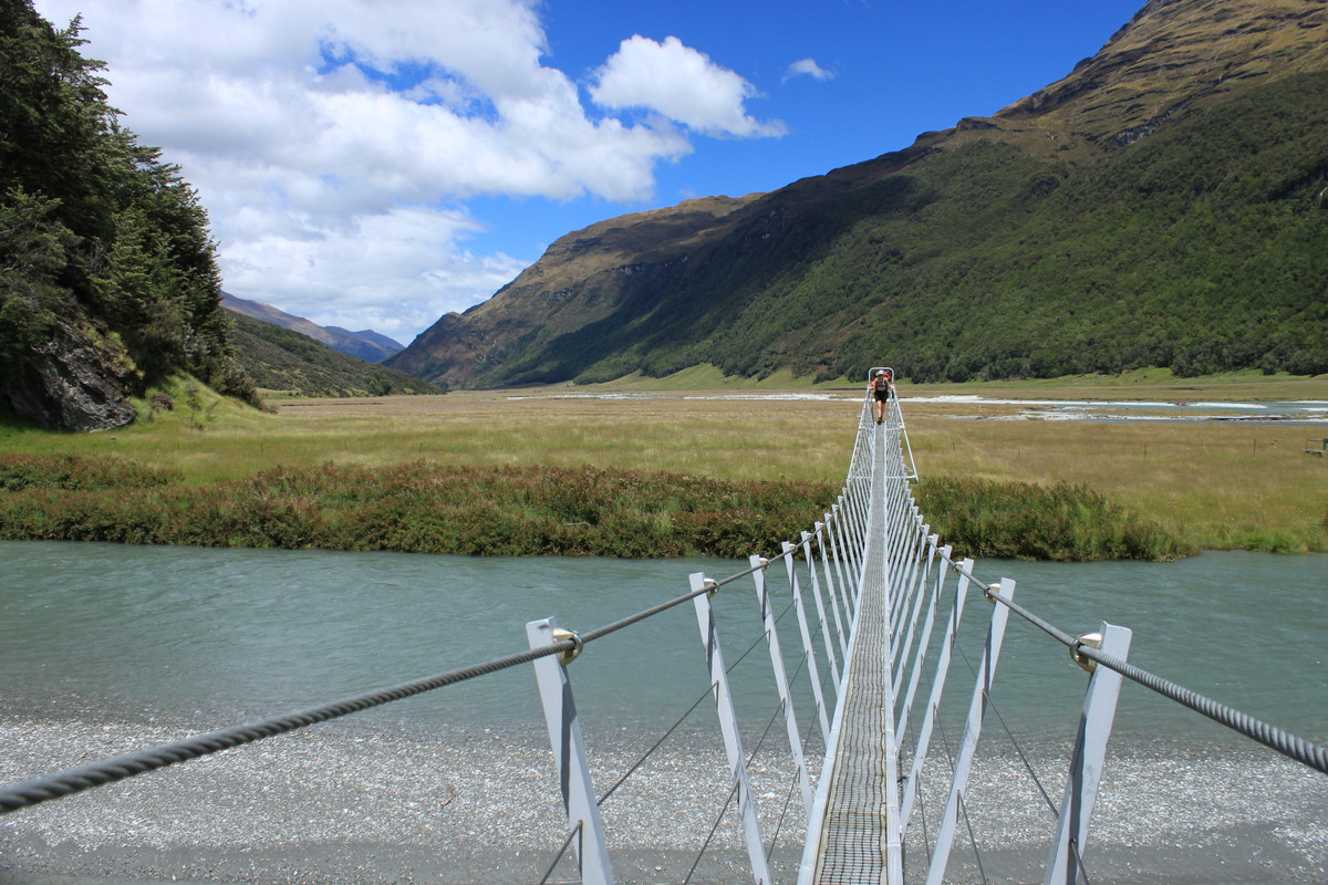
After you walk across Muddy Creek, you’ll descend a river terrace down to where it meets the river itself. This will be your take out point, so take note!
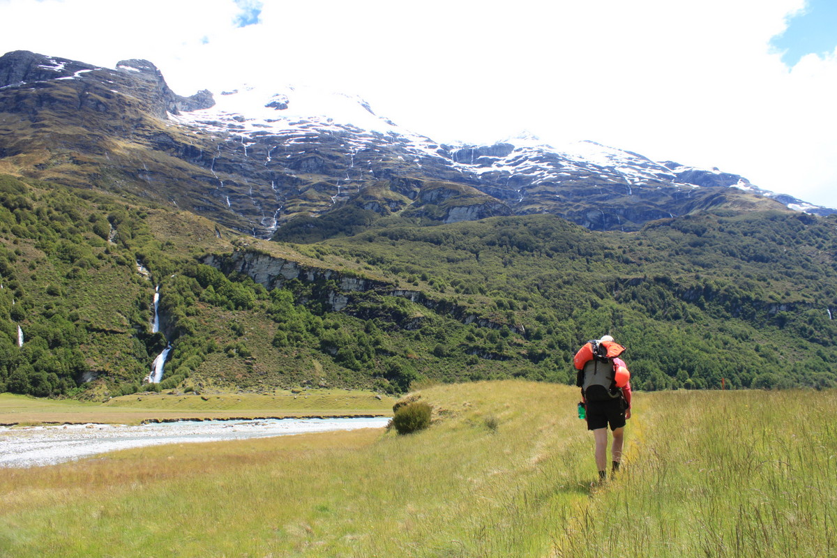
The track up valley follows meandering 4WD tracks. There are lots of quite wet, swamp sections along the way, so its worth wearing your neoprene socks on the way in! At times the track traverses above small buffs where the river runs hard against the valley side. Although its tempting to cross the river to better travel, that approach would require permission from Rees Valley Station.. If you don’t have that permission, just stick to the marked route.
Its about 1.5-2hrs to reach the 25 Mile Creek swingbridge, which is the normal start point.
Learn more about the Rees Valley track on the DOC website.
You could extend the trip by spending a night at Earnslaw Hut. 25 Mile and Big Devil Huts are privately owned by Rees Valley Station and are not for public use.
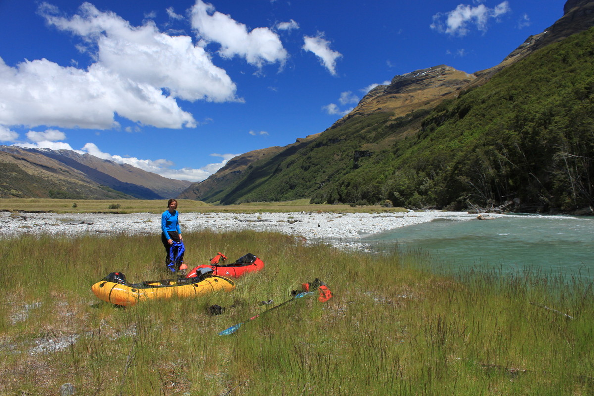
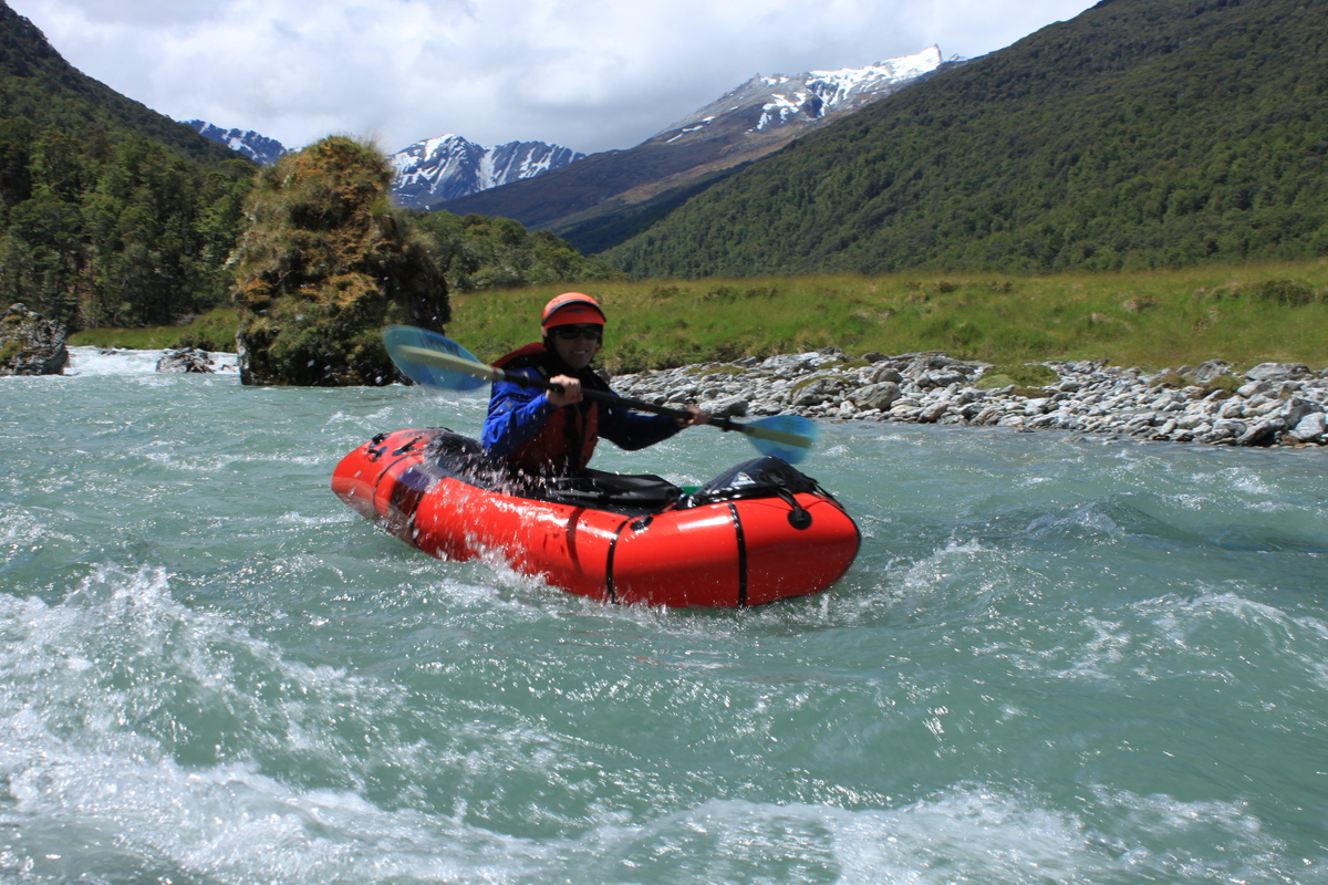
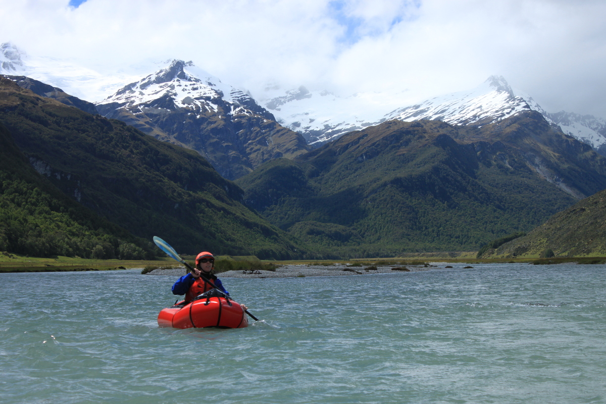
Rees River (I) from 25 Mile Creek to Muddy Creek
The braided river has a number of small wave trains between long flat sections. In normal flow, there might be a few shallow sections, requiring careful braid selection, or getting out and walking!
As we’ve already mentioned, the adjacent land is all private farm; which means things like fence wire, gates and other things occaisonally end up the river. Trees fall in too. All that is a reminder that even when the river is “only grade I” there can still be lethal hazards present. Its up to everyone in the group to keep their eyes peeled, and have the abilty to avoid those hazards when spotted.
Depending on flows, its about an hours float back down. Take out just before you see the track climbing up a river terrace to Muddy Creek Carpark.
A note about following guided groups
Packrafting Queenstown runs guided trips to the Rees on a regular basis. These guides are on the river all the time, noting the hazards and cleaning up things like fence wire in the river when they can. Just because there are guides on the water, doesn’t mean its perfectly safe, or that you can just copy what they do and you’ll be right. The guiding company has special access permissions from the farmer, and only manages the safety of their customers – everyone else in the valley has to take their own responsibility for safety and good decision making on the river!
Gauge
Rees at Invincible – Otago Regional Council
Residual flows in the Rees are around 7-10 cumecs. At those levels, expect to scrape on the bottom in places, and maybe you’ll need to get out and walk occaisonally.
With a bit of rain, there’s less walking. The Rees falls fairly quickly – after most ‘normal’ storm cycles, the Rees might get up as high as 100 cumecs, but is back down to nice levels of 20-50 cumecs by the next day.
If it peaks more than 100, it might take a little while to get down to below 50 cumecs.
Below Muddy Creek, the gradient increases significantly: check out the info for the grade II/IV run through to McDougals Ceek.