


The Orongorongo River is a short, rain‑dependent Grade II packrafting trip tucked into the southern end of the Rimutaka Range, close to Wellington. The river has a braided, gravel‑choked character, fed by large slips and scree fans that dominate the true left side of the valley. While mostly straightforward, it offers an engaging wilderness feel. The Orongorongo is highly flashy, rising and dropping very quickly after rain, and requires careful timing to catch it at a runnable level.
Access
Take Coast Road from Wainuiomata to the carpark beside the Orongorongo river. Leave a car here and drive or bike to the Catchpool carpark in Rimutaka Forest Park.
Approach:
For the non-masochist version walk 1.5 to 2 hrs from Catchpool to the river along tte five mile track (approx 5km). If the river is flowing well, it may be worth walking upstream for a longer run. If you go far enough there are a couple of rapids near where the Papatahi crossing track leaves the river.
Masochists alternative (aka Mukamuka Munter packraft style) – walk east around the coast to Mukamuka stream and ascend south saddle before dropping back into the upper Orongorongo valley (5 or more hours).
Put‑in:
There is no fixed put‑in. Launch wherever the flow is sufficient. Be aware that there may be no legal public access downstream of the Rimutaka Forest Park boundary, so paddlers need to float and not walk (you’ll understand why we say this if you try this when the flow is too low).
Take‑out:
The Orongorongo river bridge on Coast Road.
Restricted Acess upstream:
Upstream of the Papatahi crossing the river has a much more interesting bouldery character but this is the Wainuiomata water supply catchment, where access is not permitted.
ON THE RIVER
The Orongorongo has a braided river character, with frequent channel changes, shallow gravel riffles, and unstable beds caused by constant scree input from slips on river left.
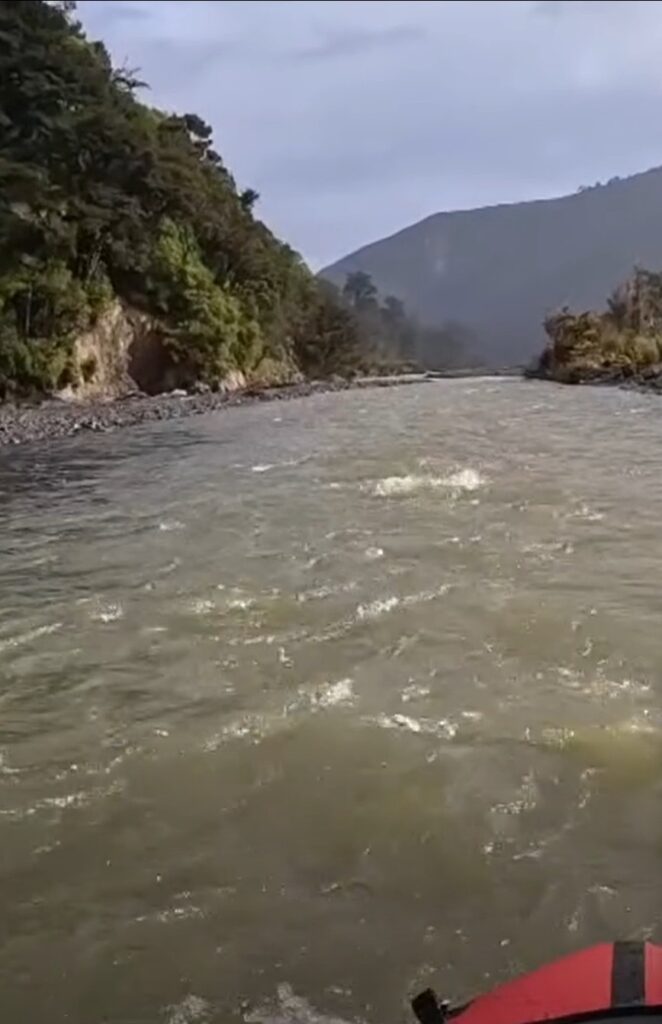
It is mostly Grade 1 and barely II paddling, with shallow braids. Expect frequent scraping at lower flows and constant decision‑making between channels. Downstream, the river maintains the same braided, gravelly nature. A small gorge near the farmhouse and coastal area adds visual interest but does not significantly change the paddling difficulty.
View Larger Topographic Map
GAUGE
The Orongorongo is extremely flashy. It rises rapidly after heavy rain and drops just as quickly, often becoming too low within hours. Substantial rainfall is required for a worthwhile run.
The gauge is Truss Bridge study the hydrograph through a few storm cycles to work out how it rises and falls.
The river generally requires heavy and sustained rain to be runnable. It s close enough to Wellington paddlers that a careful monitoring of the rain radar facilitates spontaneous trips.
If the river looks bony at the first accessible gravel bars, it is unlikely to improve down-stream and given the private land downstream you may choose to walk back out.
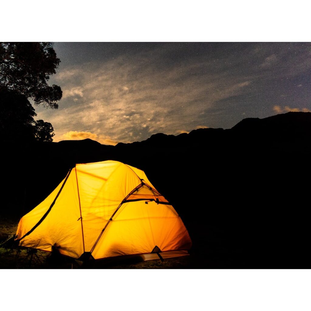
Another option is to walk in in the rain and camp until the river tames a little. There is fantastic camping on the river flats amongst manuka.
Thanks to Niels Peyre for dragging a few people down and popularising this previously overlooked run.