


A beautiful walk in through a densely forested valley with scattered grassy clearings and high open tussock ridges, backed by rocky summits. To top it off, the river is visually stunning, an easy class I/II with an exciting class III section through a small gorge.
This trip page is adapted with permission from a trip report by Kate Lord, from a trip she did with Colin Kinnison in a double packraft 17/18 December 2016. Thanks to Sharalee MacDonald for the update about the logs under the swingbridge.
View Larger Topographic Map
Approach – Nina Valley Track to Nina Hut put in
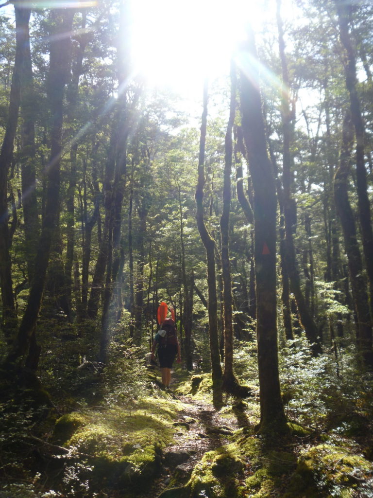
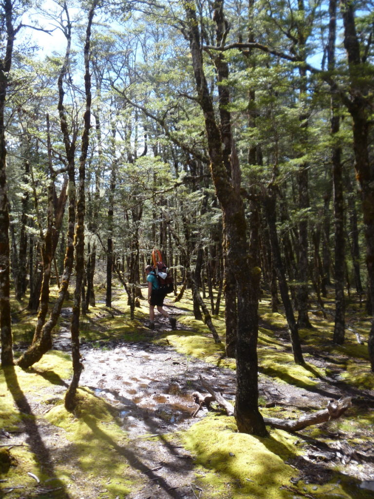
The track starts at Palmer Lodge. It is clearly marked and generally well formed, with some small side stream crossings.
About 45mins from the road, there’s an old side track, unmarked on newer maps which leads down to the top of the class III gorge section. This provides an option to scout the rapid on your way in, or leave the river without paddling the gorge.
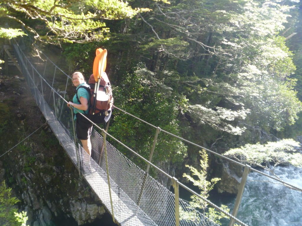
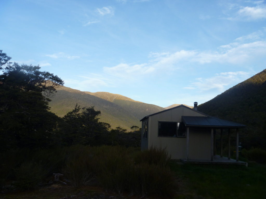
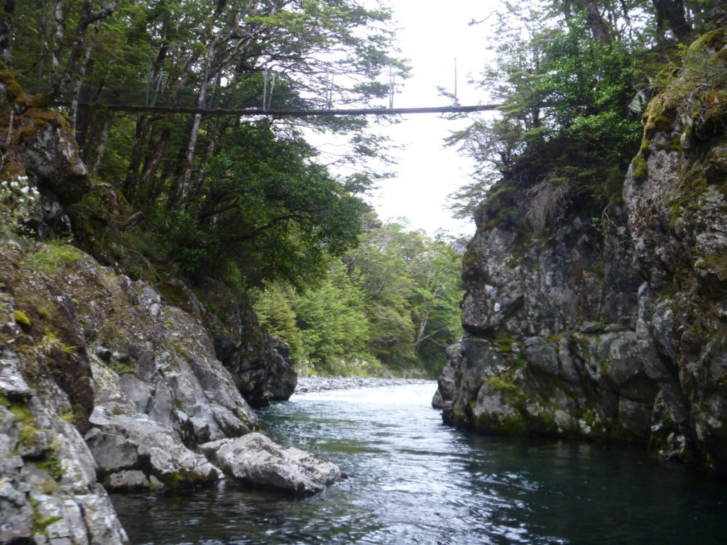
After another 45 mins or so you cross the Nina at a swing bridge.The track then continues on the south side of the river for another 1.5-2 hours to Nina Hut, a 10 bunk hut (with fly screens) set on a high terrace offering superb views of the mountains.
The Hurunui College undertakes regular restoration work in the valley here and conducts a Kiwi and Whio monitoring program with many sightings noted in the logbook.
Read more about the Nina Hut and Nina Valley Track on the DOC website.
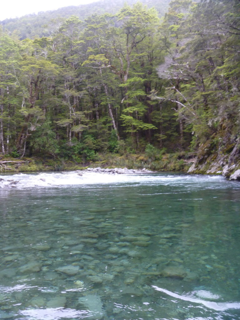
Nina River (I/II) hut to the gorge
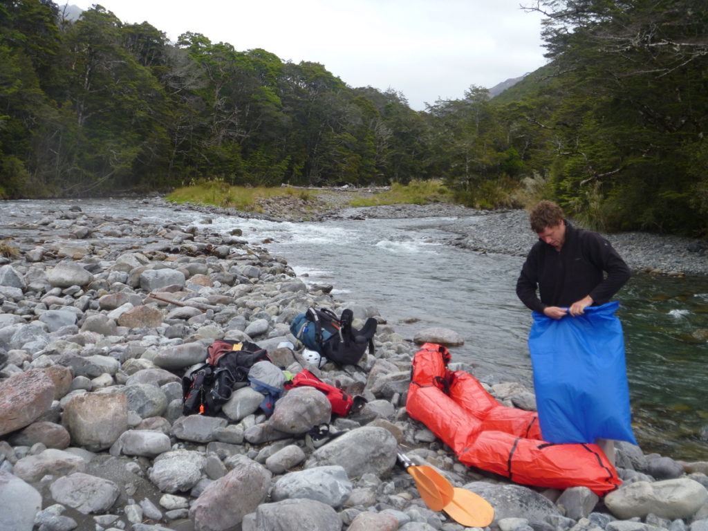
To access the river follow the marked trail west of the hut sign posted to Brass Monkey Bivy. This takes you steeply down the hill to the north where after 20 minutes it meets the Nina River and an easy put in.
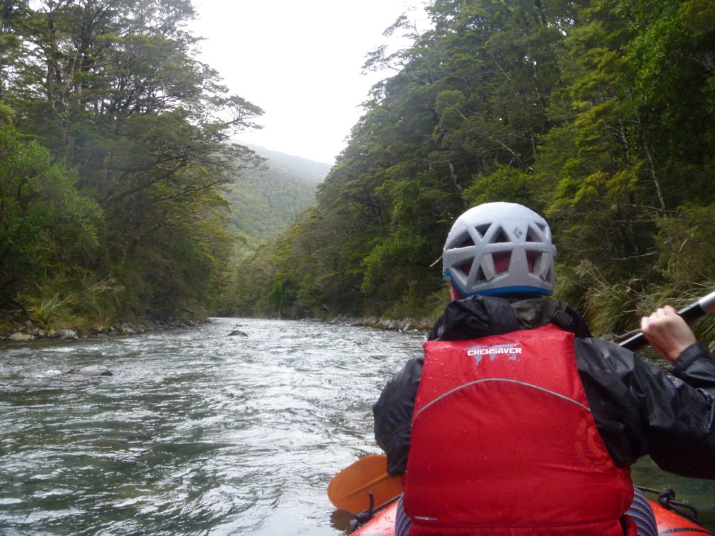
From the put in, the river is mostly single channel, with a few brief braided sections. Its mostly class I with the occasional class II rapid. In low flows, expect some shallow sections and perhaps a little bit of walking/dragging of boats. About an hour from the put you’ll pass under the swing bridge, through a deep gorged pool.
As of mid March 2018, there are a few trees in the gorge under the swing bridge that may be hazardous; especially in higher water when they may not all be visible. make sure you have a good look as you walk in!
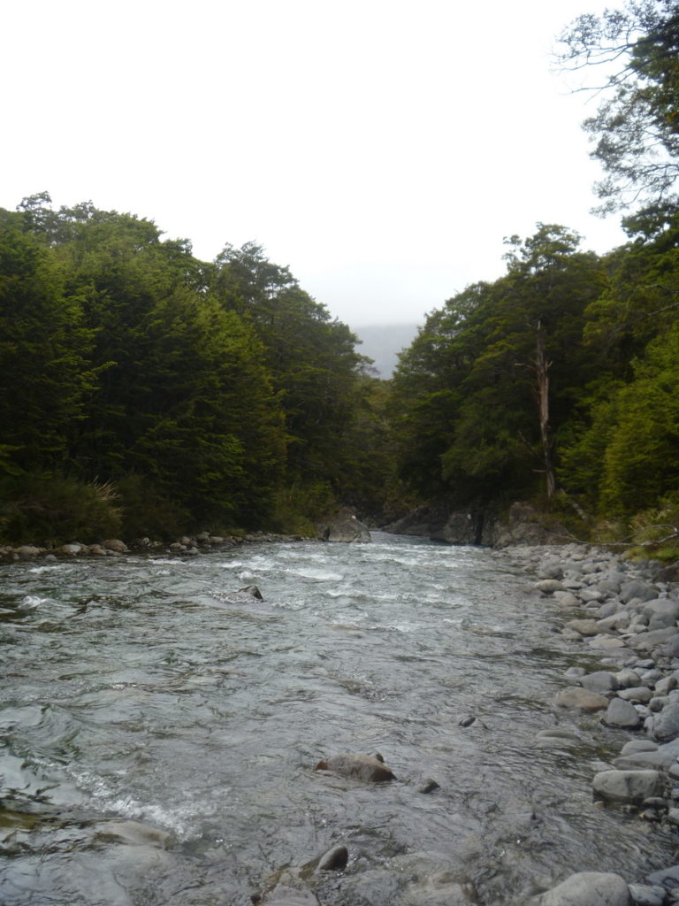
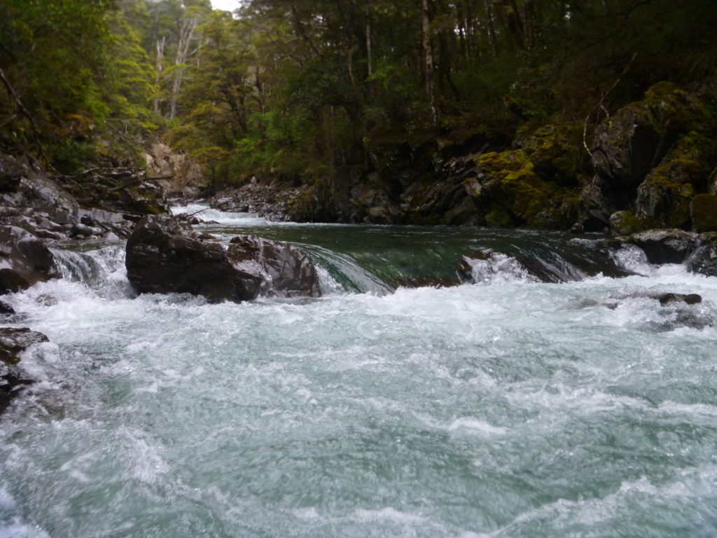
An hour below the swingbridge, the river begins to narrow, with more consistent class II paddling, until a very sharp right hand bend signals the start of the gorge. Just before the gorge, there is a large orange triangle track marker on the true left on a broader grassy section. This marks the track, which you could take to rejoin the main Nina valley track and avoid (or access) the gorge.
You can scout on river right before entering the gorge.
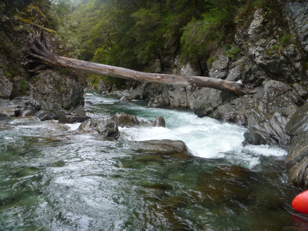
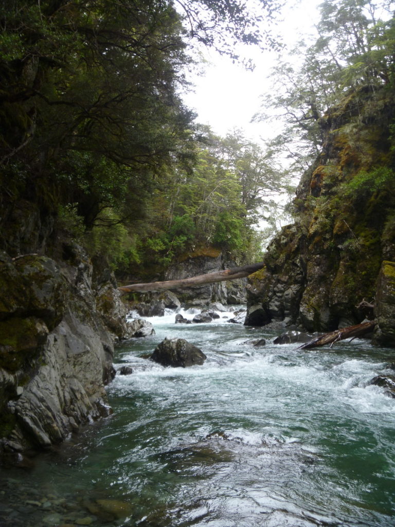
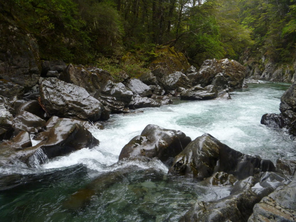
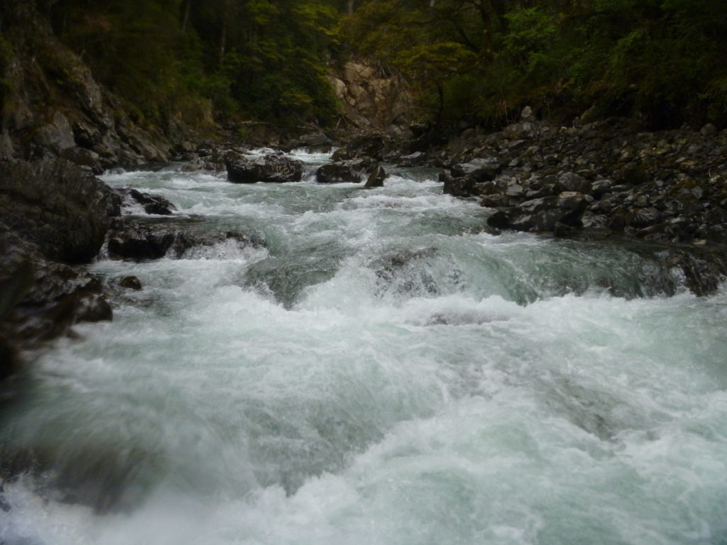
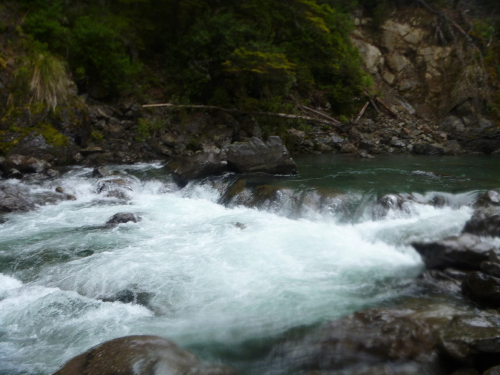
Nina River lower gorge (II/III)
The gorge is reasonably short, but has about four class II/III rapids with pools in between. (The first, named “At Loggerheads” and the last “Gorgeous”).
In lower flows, it was possible to portage some parts of the gorge, but in higher flows it would be unlikely.
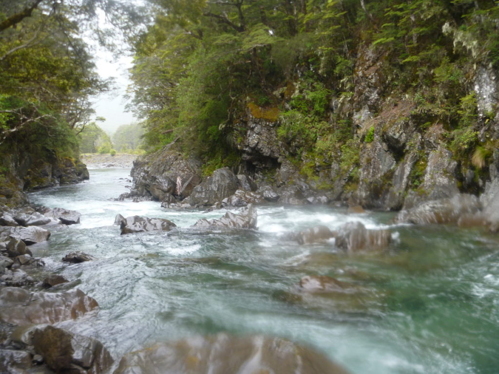
Nina River below the gorge (I/II)
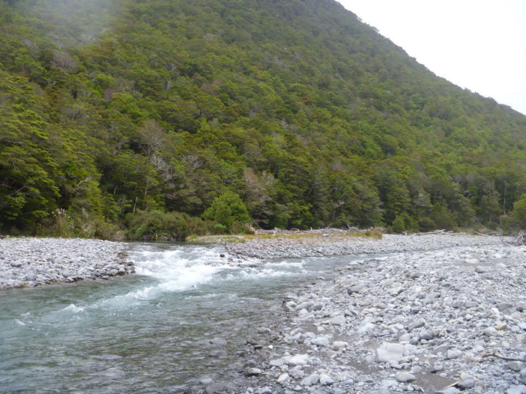
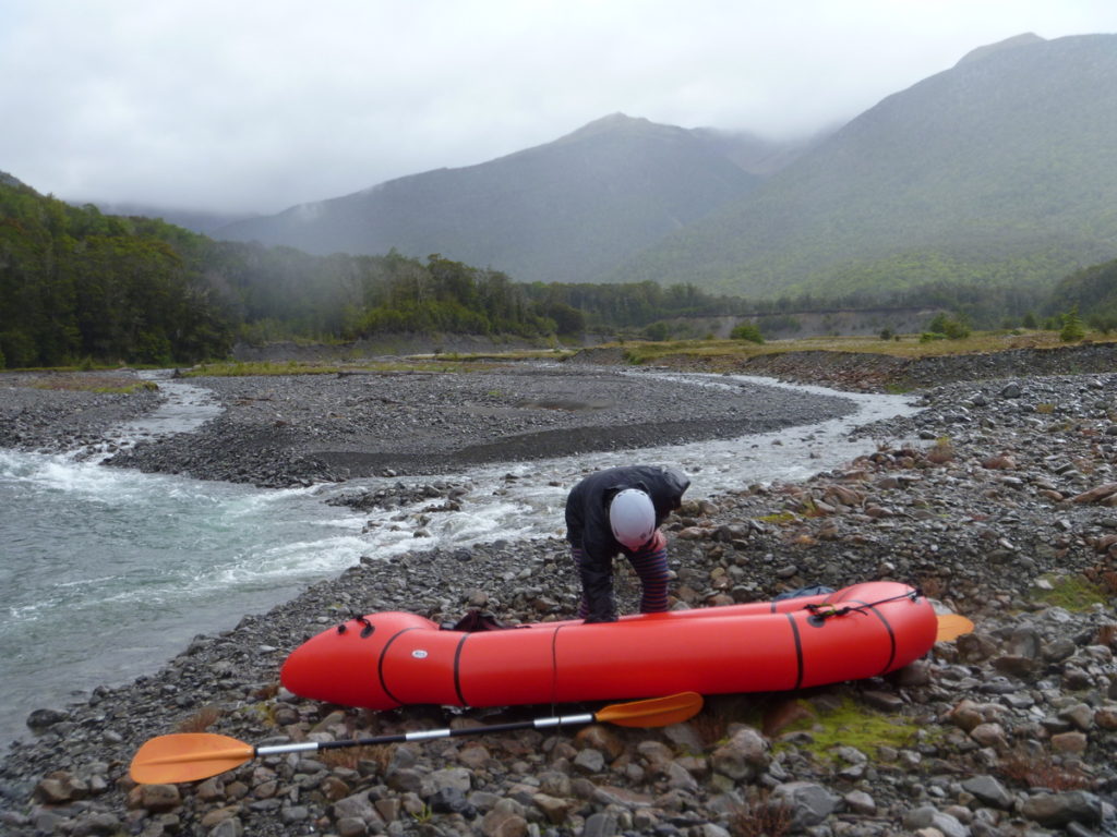
Below the gorge, the river is mostly braided, with class I/II paddling. Its possible to take out at the confluence with the Lewis River, then walk steeply up to the road and back to Palmer Lodge.
A better option would be to continue down stream to where the Lewis meets the highway and then walk back 2km along the road, or leave your car here in the first place. Best of all, this take out is at the Sylvia Flats Hot Pools.
Gauge
Visual.
The closest gauge is for the Hope River at Glynn Wye. This gauge is a long way down stream, in the main river valley that drains the Lewis Pass catchment to the east, so it would only give a vauge indication of the flows of the area.
For the photos in this blog post, the gauge was at 0.76m, which was a little higher than the median flow of about 0.5m. This trip could probably use a little more water to save pushing your boat, though the ability to portage and difficulty in the gorge would likely change at that higher water level.
We paddled from the Duchess Stream confluence down to the Lewis River congfluence. Flow was low (0.53m @ Glynn Wey) and there were quite a few times we had to get out and walk across shingle bars or walk to a different flow channel. Lots of navigating around boulders required so all in all it was a fairly hectic paddle. Still managed to get down in approx. 2.5h and had a good amount of fun.
We did this trip as a day trip from CHC. We left town around 8am, started to hike in at 10.40am, got to Nina Hut at 1.45pm (approx. 3h walk time), put in at around 2.30pm and were at the Lewis confluence at around 5pm. I think at higher flows, the paddle will be a fair bit quicker! Approx. 1h packing up and walking back (via a scramble up the banks of the Lewis River to the 4wd tracks visible from the river and along SH7) to the car at the Deer Stalkers hut car park. Back in town around 8.30pm.
Flow:
I think 300-400mm more water in the river would be ideal, but how that translates to the Hope gauge readings, I do not know. I think walking in during or right after a moderate rainfall (maybe 30-50mm around the Main Divide – it had rained about 35mm at Malings Pass on the 31st and the Hope @ Glynn Wey went up to ~1.8m and back down to ~0.8 within 24h), sleep the night in Nina Hut and then get on the river in the morning afgter would be ieal.
G3 Gorge:
The G3 gorge was clear (no trees) but the second rapid had a big boulder right in the middle of the drop and needed more flow to navigate that, so we portaged. All other rapids were fine and pretty straigtforward after a quick scope. All were portageable at low flows but will be more tricky to portage (within the gorge) at higher flows for sure.
Hazards:
No new hazards to report other than the ones described in other comments (i.e., trees above swing bridge near the wash out). The log below the swing bridge is nicely tucked to the side now but a big flood might change that again so scope this on your hike in.
There is one tree under the swingbridge but is easily navigable now. There are however a few massive trees across the river at the washedout corner about 1km above the swing bridge at 0.5m. We had to portage, or take the inside line which had less water but no trees …. the corner is visible on the walk in about 10 minutes after the swingbridge.
Hope river gauge was 0.5m, and was as is discussed here, mostly paddleable with a few shingle bars to walk through. Would be great with a bit more flow but overall a very pleasant weekend trip. The Nina Hut was full so if going on a weekend take a tent too or sleep on the veranda/floor!
1/11/2020: There is a large tree spanning the river under the Nina swing bridge. I slid over it on the river left after rain, but at lower flows this would be a very nasty pin. Portagable if necessary, inspect on your walk up!
I did this trip again in higher water at the Packraft meetup. The gorge section was portagable on river left along the top of the gorge wall. There are some indistinct tracks, and by keeping the river close on your right, the section can be safely avoided. There is a reasonable scramble to rejoin the river.
Alas, the Sylvia Flats have been destroyed in a slip, it would have been the greatest take out for a pack rafting trip! http://www.stuff.co.nz/the-press/news/88672624/massive-slip-destroys-popular-sylvia-flats-hot-pools-near-lewis-pass-in-canterbury