Pleasant, scenic and straightforward
In the roadside-run whitewater eutopia of Murchison, this section of the Matakitaki River makes for a pleasant walk in trip for newer packrafters.
The approach is entirely along a 4WD track and the paddling is moderate, which also makes this a great Bikerafting route.
There however, are a couple of downsides. This region is unfortunately known for lots of wasps in summer – be vigilant in the forest. Although the paddling is straightforward, there is a reasonable number of trees in the river, which create potentially lethal strainer hazards. These are easy to avoid if you notice them with plenty of time, start paddling to avoid them early, and treat them with the respect they deserve.
Thanks to Jack Ryan and Kelvin Montagu for the information and Kelvin for the photos.
View Larger Topographic Map
Getting to the carpark
The approach route starts from a carpark among the farmland of Mt Ella Station. The DOC Webpage for “Glenroy and Matakitaki Valley Mountain Bike Tracks” gives the following description:
“The Mangles-Tutaki Road turn-off on State Highway 6 is about 8 km north of Murchison. Continue to the South Tutaki Road turn-off, then on to Mount Ella Station and follow signs to the car park.
Here’s the Carpark pin on Google Maps.
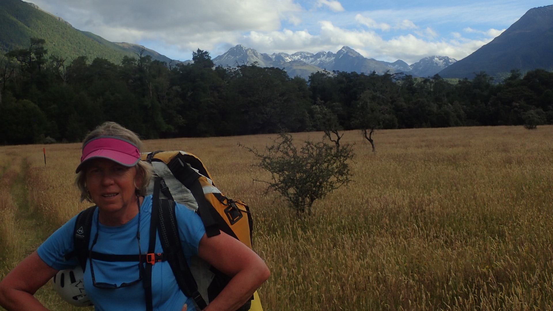
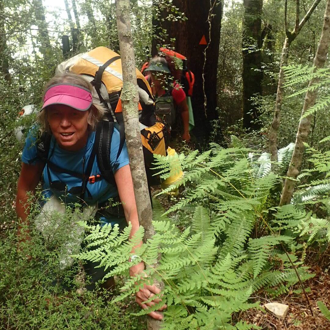
Approach to Downie Hut – 18km (3-4hr biking, 5-6hr walking)
According to the DOC website:
Start on the 4WD road that follows the Matakitaki River’s true right (the right as you look downstream). It passes through privately owned farmland, open grassland and beech forest with a number of side streams to cross before arriving at historic Downie Hut.“
Normal courtesies apply. Leave dogs & firearms at home, follow markers when they are present, avoid stock, leave gates as you find them, and be friendly to any farm workers you encounter.
Once you reach the Beech forest, you’re technically in the Matakitaki River Headwaters Stewardship Area, but Nelson Lakes National Park surrounds you on the bush flanks and peaks above. The track narrows to a farm quad-bike width, and sometimes gets a bit lost in the river flats at times. Follow your nose and it all becomes clear.
Downie Hut is a historic 4-bunker, recently refurbished with plenty of space nearby for camping. Water is from the main river, which is a few hundred metres away – worth bringing a camelback or other bladder so you can bring plenty back to the hut.
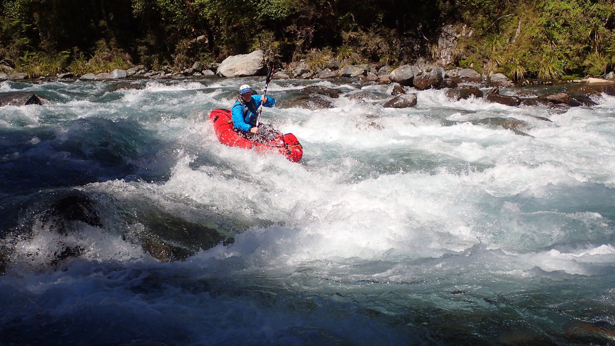
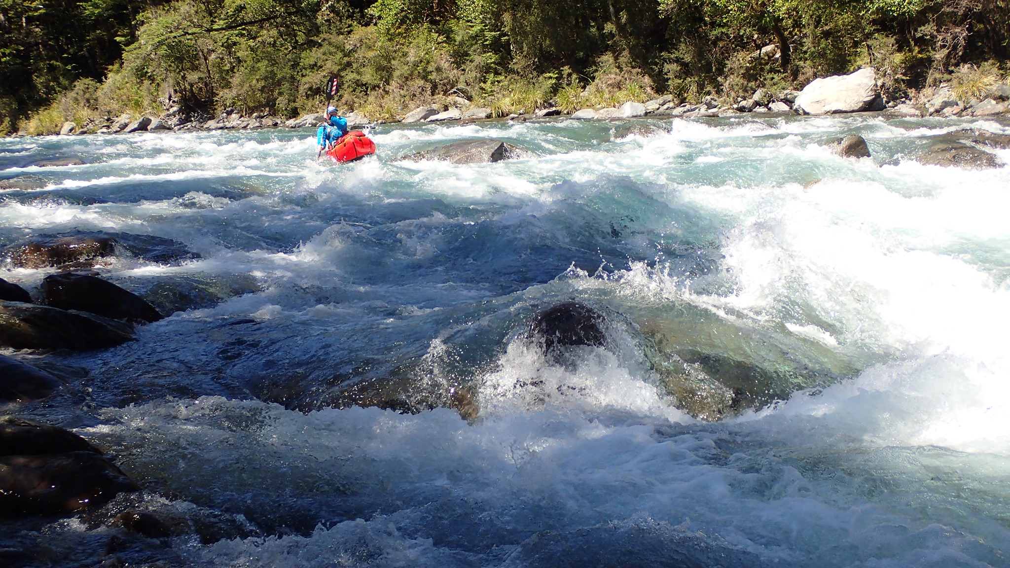
Matakitaki (II) below Downie Hut. 2-3hrs
The paddling is a lovely mix of grade II wave trains, flat water, forest-lined sections and glorious views.
As we mentioned at the start, there are often a few fallen trees in the river, so make sure you aren’t too distracted by the beautiful scenery to notice potentially lethal hazards approaching!
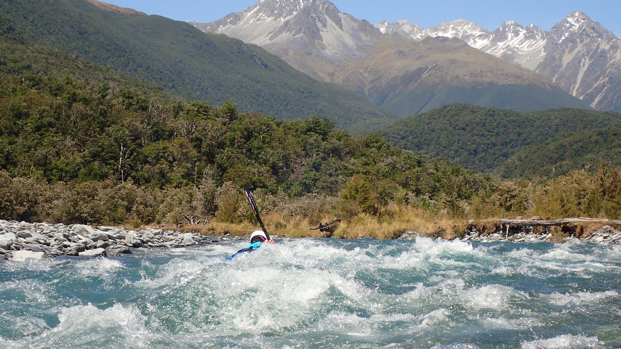

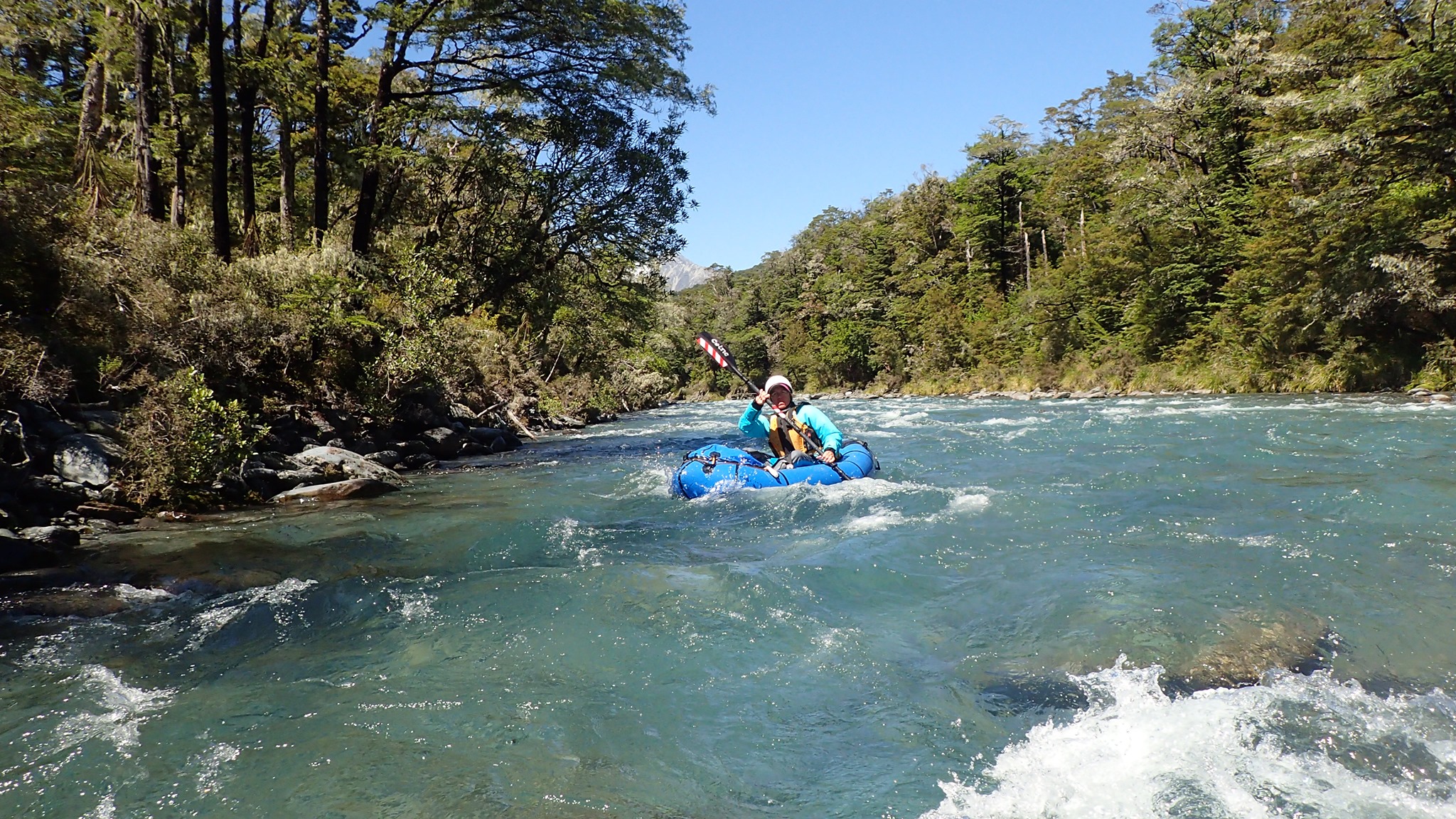

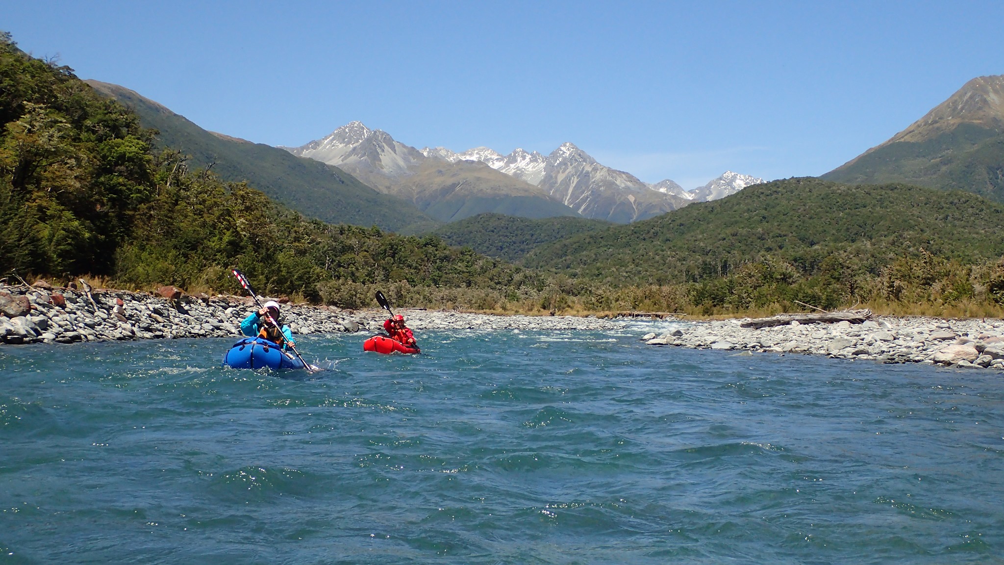
Intially the river tends to stick to a single channel in a wide river bed, but the further down valley you go, the more the water tends to split into various channels.
Take out immediately past the private road bridge, on the true right. A vehicle track leads from the riverbed up onto a paddock. Head north to the gravel road, then turn left towards your cars. The takeout is technically on private land so show all the normal courtesies.
Gauge
The photos from this trip correspond to 32 cumecs on the gauge, which was reported as a good flow. Please log your trips, flow and comments below so we can build up a picture of what flows work for this run.
We’d expect that this river would become too low to paddle in dry, high summer conditions.
Extra’s for experts – grade III add-on
If you’ve got the time, skills and experience, you can add on a bit of grade III paddling. From Downie Hut, continue up the Mataktaki Forks Route, which is a well graded and marked track.
The track closely follows the river for about 3km. Put in here, immediately before the track starts to head steeply uphill to avoid the upper gorges. From here, enjoy some grade III boulder gardens down to the confluence with Burn Creek.