





Hits the sweet spot for a beginner’s overnighter
One of the tributaries of Canterbury’s mighty Rakaia River, the Avoca hits an interesting sweet spot for packrafters. It’s a medium-sized east-coast river, which is narrow enough to keep the water a paddleable depth, without gorging up at all. The gradient is fairly consistent, which altogether means fun, low-grade paddling and flows that seem to be a bit more reliable than some of the bigger (and wider) braided systems.
An overnight trip out & back to Basins Hut is a great objective for beginner packrafters.
Thanks to Simon Murfin for the photos and info, plus Jonathan Carr for more photos.
View Larger Topographic Map
Access
From the Rakaia Gorge on SH77, it’s about an hour’s drive, about half of which is on windy gravel roads, to the Harper River and the Te Araroa Trail.
Near the bridge over the Harper is a hydro-electric intake. If you’re planning on paddling the Harper, make sure you scout a take-out which is well away from the intake.
Given that its a long drive from town, most people would plan to do this trip as an overnighter. Depending on your time and inclination, choose to walk it all for a longer trip, or drive with permission to reduce the walking before ou reach reach public land, where you are allowed to camp.
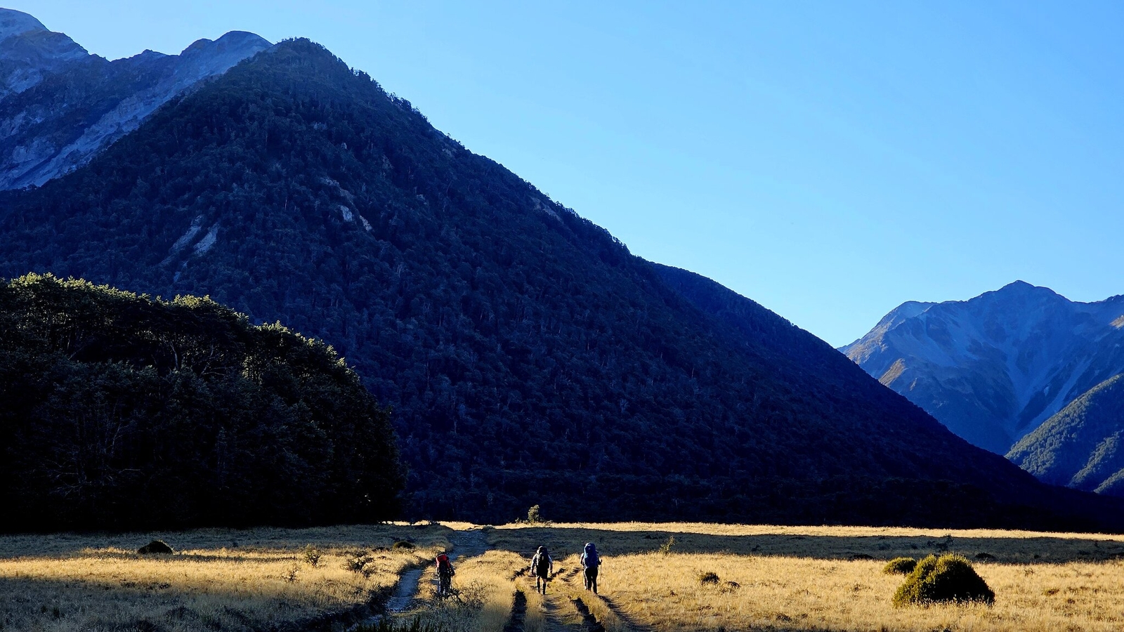
Walk it all – at least 16km | 4-5hrs
Tramp in from the road along Te Araroa (which follows a 4WD track) then the Avoca Valley Track. Stay the night somewhere north of Triangle Creek (on public land) , then paddle the Avoca, then the lower Harper back to the road.
Drive (with permission) – walk as little as 7.5km | 2-3hrs
Get permission for vehicle access from Glenthorne Station (which includes a fee for a gate key) to drive along Te Araroa to ‘The Retreat’ (accomodation building). From there, you could go out and back on the Avoca, or set a car shuttle for a shorter walk before paddling the lower Harper, too.
Avoca Valley Track
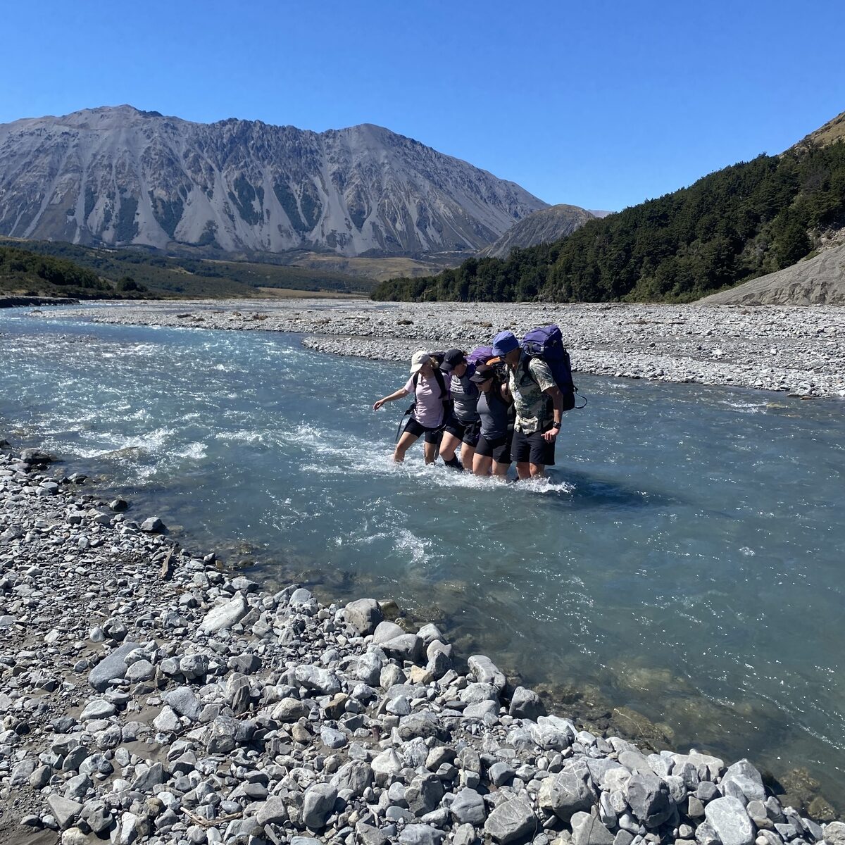
The Avoca Valley track involves a couple of river crossings, if flows are good for paddling, expect these crossings to require proper mutual support crossing technique. Or if it’s too much to walk across, blow up yer boat!
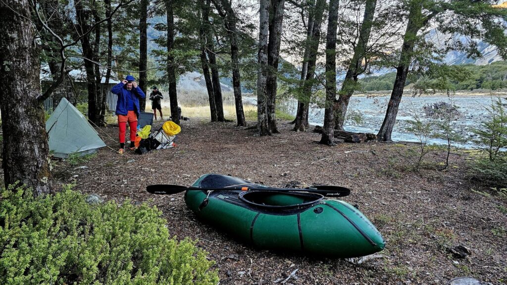
Near Triangle Creek, the track crosses back to the true right, and you enter the Cragieburn Forest Park. Above here, you can choose how far you want to walk and how much paddling you’ll have the following day. The open valley and grassy plains mean camping options everywhere, or stay at the Basins Hut (6 bunks) or much more rustic Old Basins Hut (5 bunks).
Check out the Walking Access Map for the exact location of public land, but remember that most of the land for the first half of the approach is Glenthorne Station.
The Station website spells out the access provisions clearly, which include ‘no mountainbiking’, (unfortunate, as this route would be a great bikerafting option!). The other rules are fairly standard: keep to the tracks, leave dogs at home, no hunting or camping on private farmland.
The Avoca River (I/II) 11.6km
Because you can see and scout 95% of the river as you walk in, there should be no surprises on the paddle out!
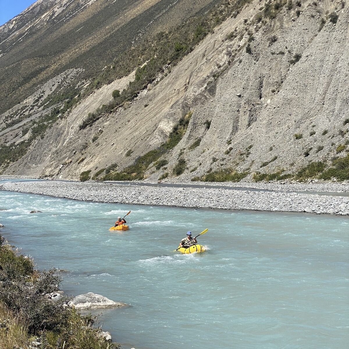
The Avoca often has two to three braids, and keeping to the main one means less chance of getting grounded on the gravel. The river flows fairly fast, with plenty of fun wave trains between flat sections with great mountain views.
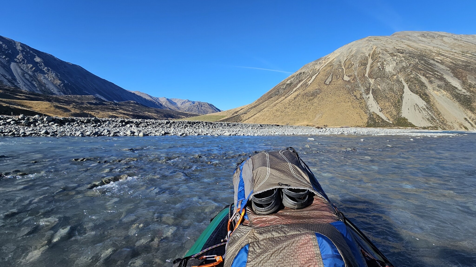
You should always be keeping your eyes out for river hazards, including logs and strainers, but the character of the valley means these are fairly uncommon.
Either take out where the approach track crosses the river, or continue down to the Harper.
Harper River (I/II) below the Avoca confluence 8.3km
The flow roughly doubles in size at the confluence, with more braids and wave trains along the way.
As mentioned before, the Harper ends in a hydroelectric intake – before you set off, you need to scout a suitable take-out that is a good distance upstream.
Gauge & flows
The closest gauge is miles downstream, on the Rakaia, which is really not much use at all.
East coast braided rivers typically suffer from low flows in late summer, however, Simon reported paddleable flows in early February 2026, with no decent rain in the days leading up to the trip.
Jonathan’s trip was in May 2026, and he reported that it was paddleable
Take that single experience for what its worth – a vague guide only! If you head up there, please log your trips so others can learn more about how reliable the flow really is.